Places · Iceland

Natural Wonders of Iceland: The 14 Most Beautiful Places to Visit

14 places in the atlas

Iceland sits directly on the Mid-Atlantic Ridge, the seam where the North American and Eurasian plates pull apart, which is why the island is so volcanically and geothermally alive. Glaciers — including Vatnajökull, Europe's largest by volume — grind across a plateau of black basalt, feeding thunderous glacial rivers and carving canyons, while beneath the surface, volcanic heat drives geysers, hot springs, and nearly all the country's heat and electricity. It is one of the few places on Earth where you can watch continents drifting, ice calving, and the ground steaming, often within a single day. Below are the 14 natural wonders of Iceland in the atlas — the most beautiful places to build a trip around, each with what makes it remarkable, when to go, and how to reach it. Best overall time: June to August for long daylight (the midnight sun), open highland roads, and mild weather; September to March for the northern lights and ice caves, with harsher conditions and shorter days.
Jökulsárlón Glacier Lagoon, Vatnajökull National Park, Southeast Iceland

Jökulsárlón Glacier Lagoon

Vatnajökull National Park, Southeast Iceland

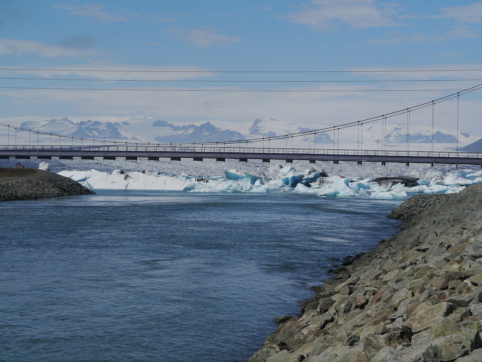
A glacial lagoon where huge icebergs calved from the Vatnajökull ice cap drift in still, deep water before floating out to sea — and wash up as glittering shards on the black-sand 'Diamond Beach'.

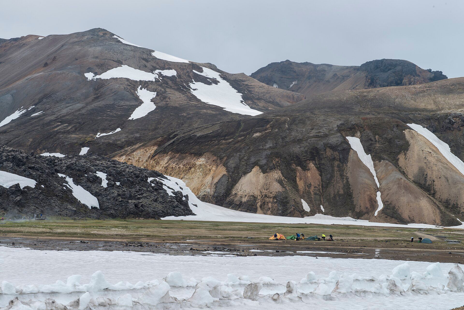
Landmannalaugar, Southern Highlands, Iceland

Landmannalaugar

Southern Highlands, Iceland

Rhyolite mountains streaked in red, pink, green, and gold above black lava fields and steaming hot springs — the most colourful landscape in Iceland's remote interior highlands.

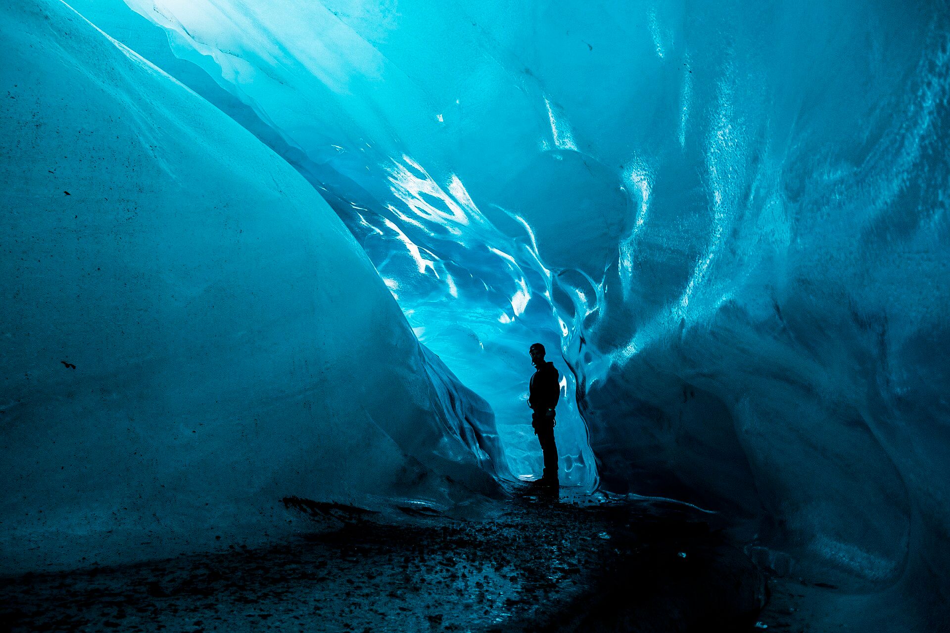
Vatnajökull Ice Caves, Southeast Iceland

Vatnajökull Ice Caves

Southeast Iceland

Glowing blue caves melted into the heart of Europe's largest ice cap — crystalline chambers of glacier ice, formed anew each winter beneath a vast frozen dome that hides fire below.

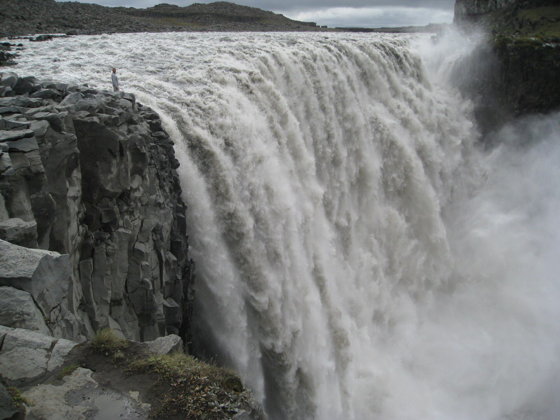
Dettifoss, Jökulsárgljúfur, Vatnajökull National Park, Northeast Iceland

Dettifoss

Jökulsárgljúfur, Vatnajökull National Park, Northeast Iceland

Often called the most powerful waterfall in Europe — a grey glacial river hurling itself 44 metres into a black canyon, 100 metres wide and so loud the ground shakes and spray drifts for hundreds of metres.

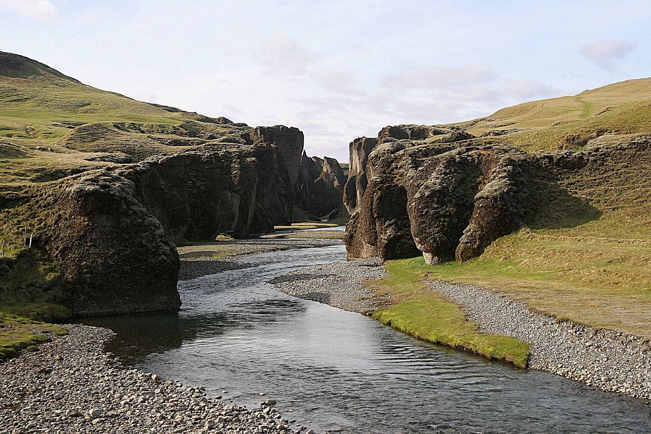
Fjaðrárgljúfur, Near Kirkjubæjarklaustur, South Iceland

Fjaðrárgljúfur

Near Kirkjubæjarklaustur, South Iceland

A serpentine canyon on Iceland's south coast, roughly two kilometres long and up to about 100 metres deep, its dark palagonite walls draped in green moss with the Fjaðrá river winding along the bottom — one of the country's most photographed gorges.

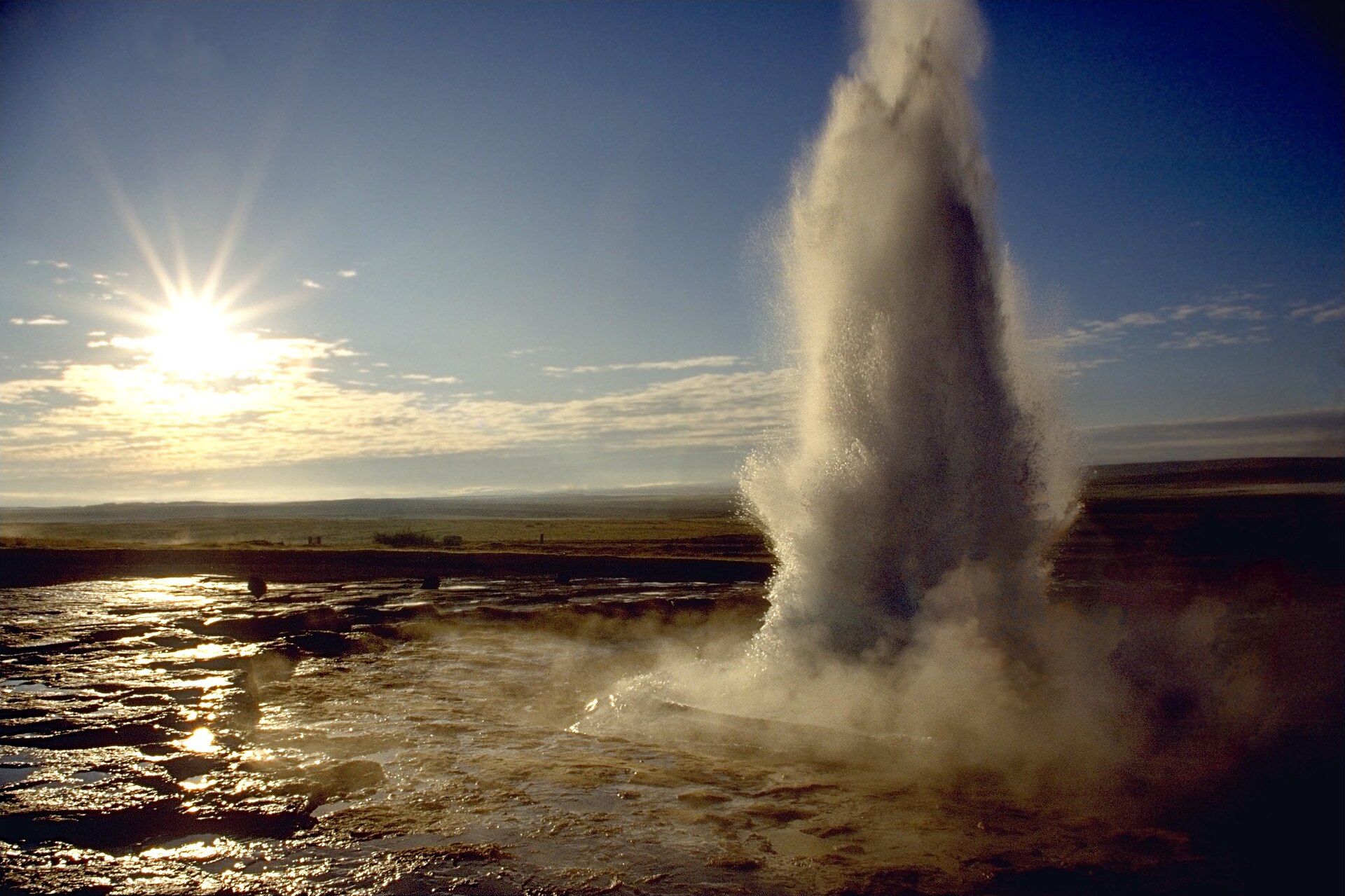
Geysir & Strokkur, Haukadalur geothermal field, Southwest Iceland

Geysir & Strokkur

Haukadalur geothermal field, Southwest Iceland

The geothermal valley that gave the world the word 'geyser' — where the reliable Strokkur spout blasts boiling water 15–20 metres skyward every few minutes amid steaming vents and mineral pools.

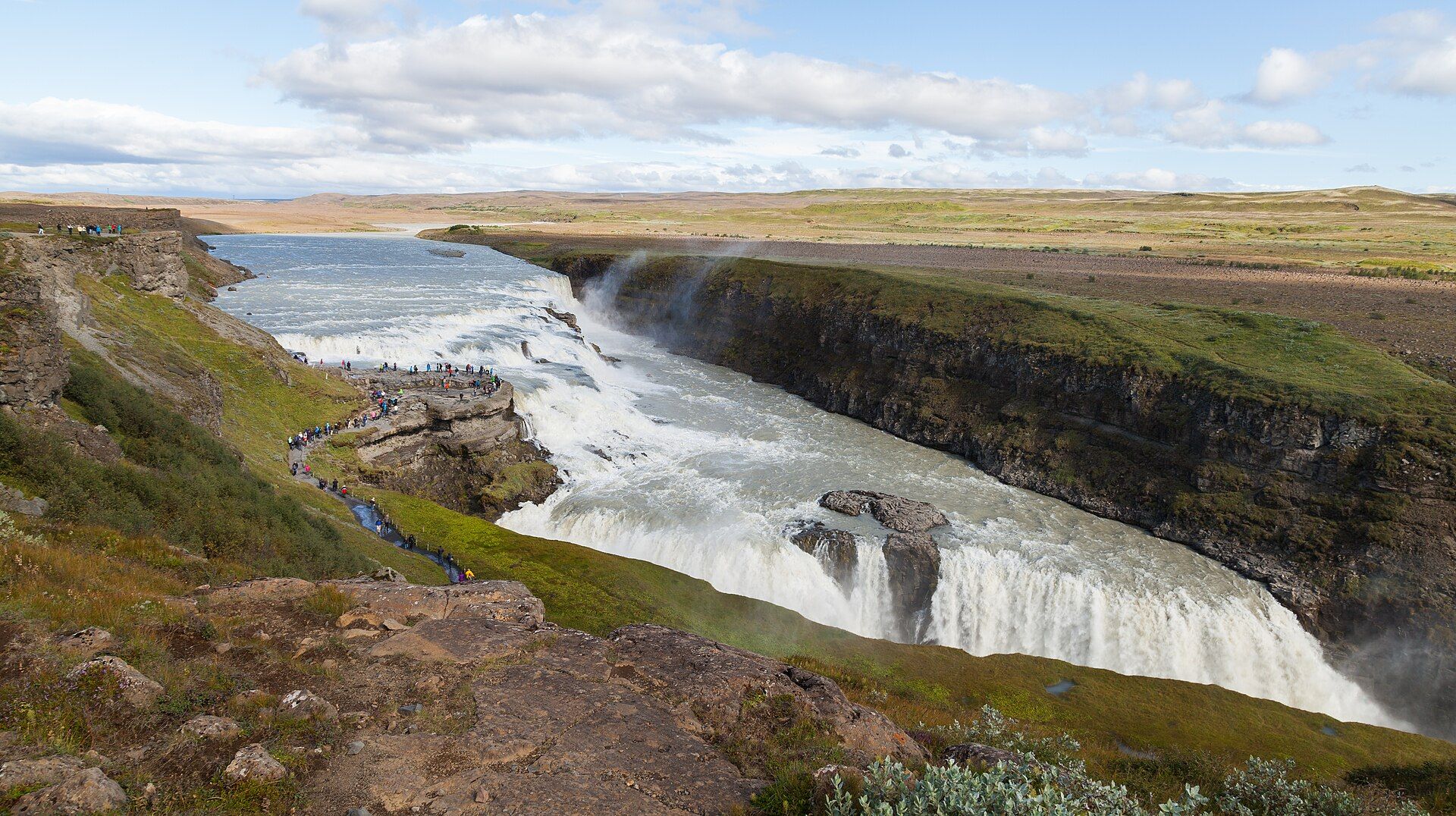
Gullfoss, Hvítá river, Southwest Iceland

Gullfoss

Hvítá river, Southwest Iceland

Iceland's most famous waterfall — the glacial Hvítá river plunges in two dramatic stepped tiers into a rugged canyon, throwing up spray that catches the sun in near-constant rainbows.

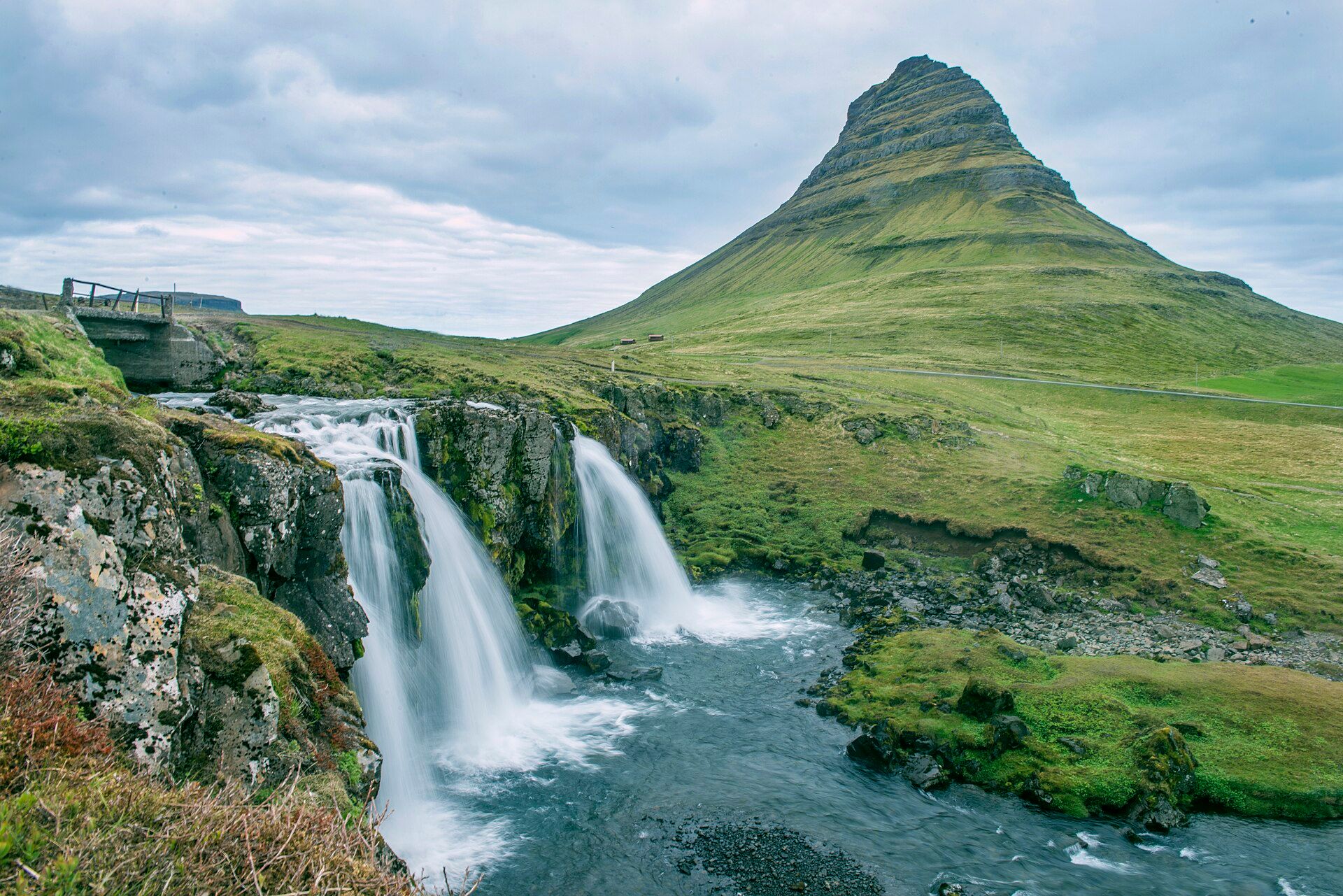
Kirkjufell, Grundarfjörður, Snæfellsnes Peninsula, West Iceland

Kirkjufell

Grundarfjörður, Snæfellsnes Peninsula, West Iceland

A steep, symmetrical 463-metre peak rising alone from the sea on the Snæfellsnes Peninsula — often called the most photographed mountain in Iceland, most famously with the small tiered waterfall Kirkjufellsfoss in the foreground.

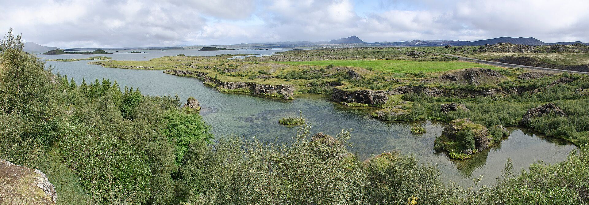
Lake Mývatn, Northeast Iceland, near Akureyri

Lake Mývatn

Northeast Iceland, near Akureyri

A shallow, volcanic lake ringed by craters, lava fields and steaming ground — one of Europe's richest waterfowl habitats, alive with ducks in summer and framed by pseudocraters, twisted lava pillars and geothermal steam.

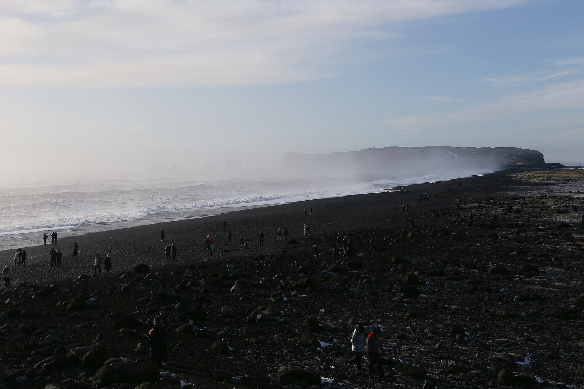
Reynisfjara, Near Vík í Mýrdal, South Iceland

Reynisfjara

Near Vík í Mýrdal, South Iceland

Iceland's famous black-sand beach — jet-black volcanic sand under a cliff of stacked basalt columns, with offshore sea stacks and a powerful, genuinely dangerous surf rolling straight in off the North Atlantic.

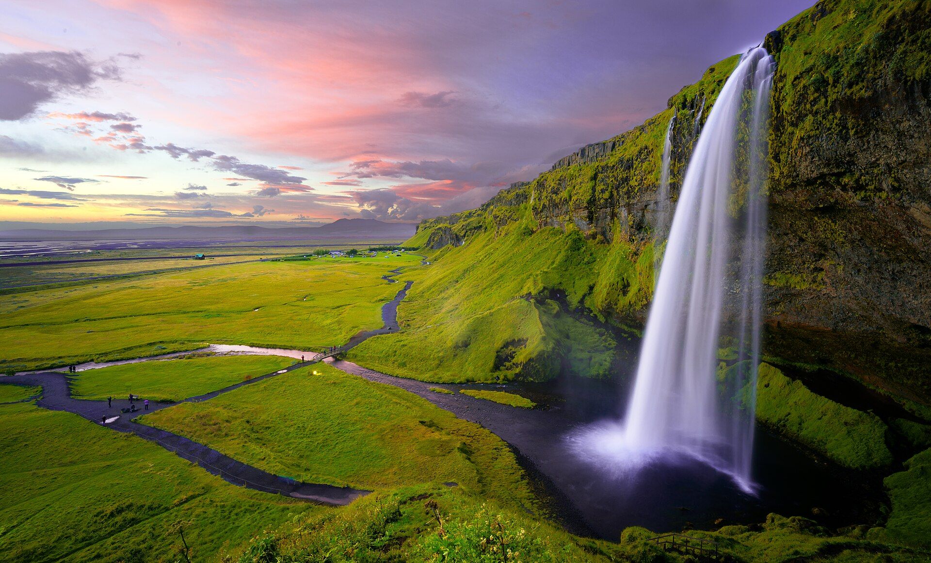
Seljalandsfoss, Seljaland, South Iceland

Seljalandsfoss

Seljaland, South Iceland

The waterfall you can walk behind — a slender 60-metre ribbon on the Seljalandsá river, fed by the Eyjafjallajökull ice cap, dropping over a former sea cliff into a mossy amphitheatre with a footpath that loops right around behind the falling water.

Skógafoss, Skógar, South Iceland

Skógafoss

Skógar, South Iceland

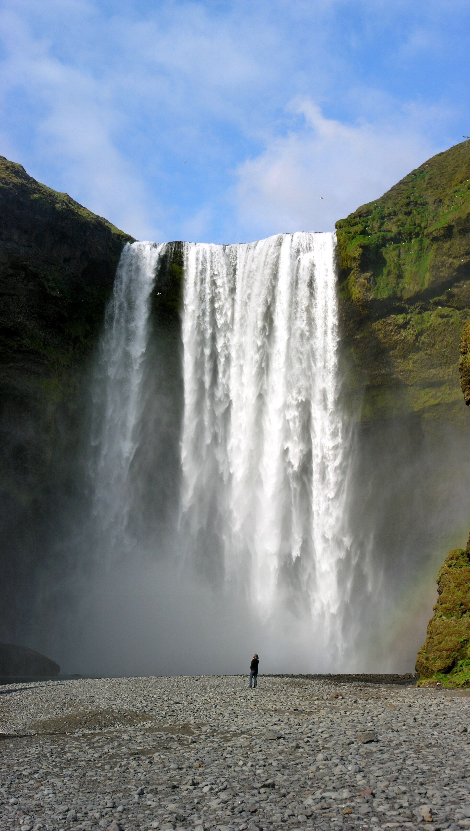
One of Iceland's biggest and best-loved waterfalls — a 60-metre curtain about 25 metres wide on the Skógá river, dropping over what was once a sea cliff and throwing up so much spray that a rainbow hangs in front of it on almost any sunny day.

Svartifoss, Skaftafell, Vatnajökull National Park, South Iceland

Svartifoss

Skaftafell, Vatnajökull National Park, South Iceland

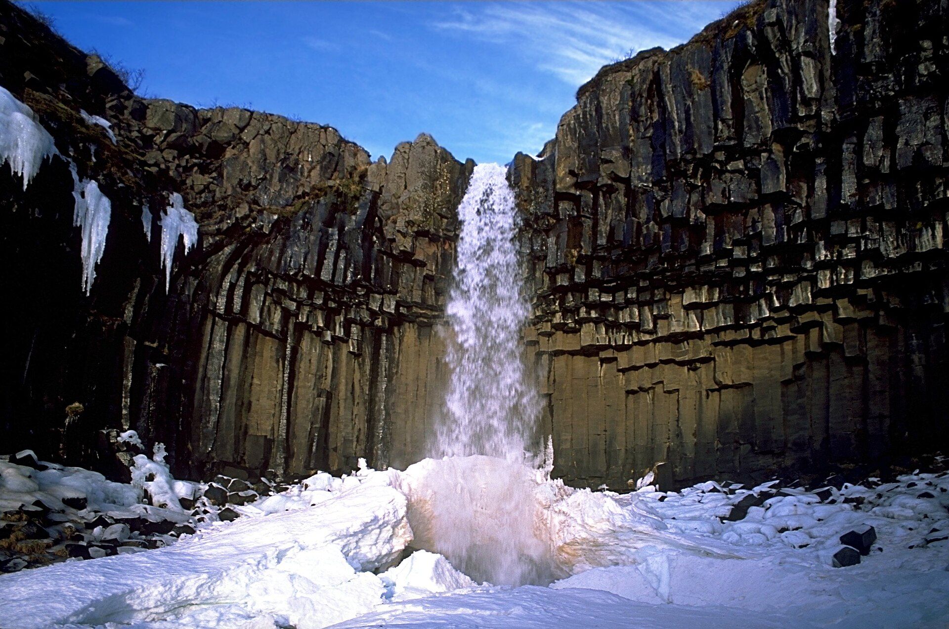
The 'Black Falls' — a slender 20-metre waterfall in Skaftafell framed by a wall of dark, hexagonal basalt columns that hang like organ pipes above the plunge pool, one of the most distinctive waterfalls in Iceland.

Þingvellir (Thingvellir), Þingvellir National Park, Southwest Iceland

Þingvellir (Thingvellir)

Þingvellir National Park, Southwest Iceland

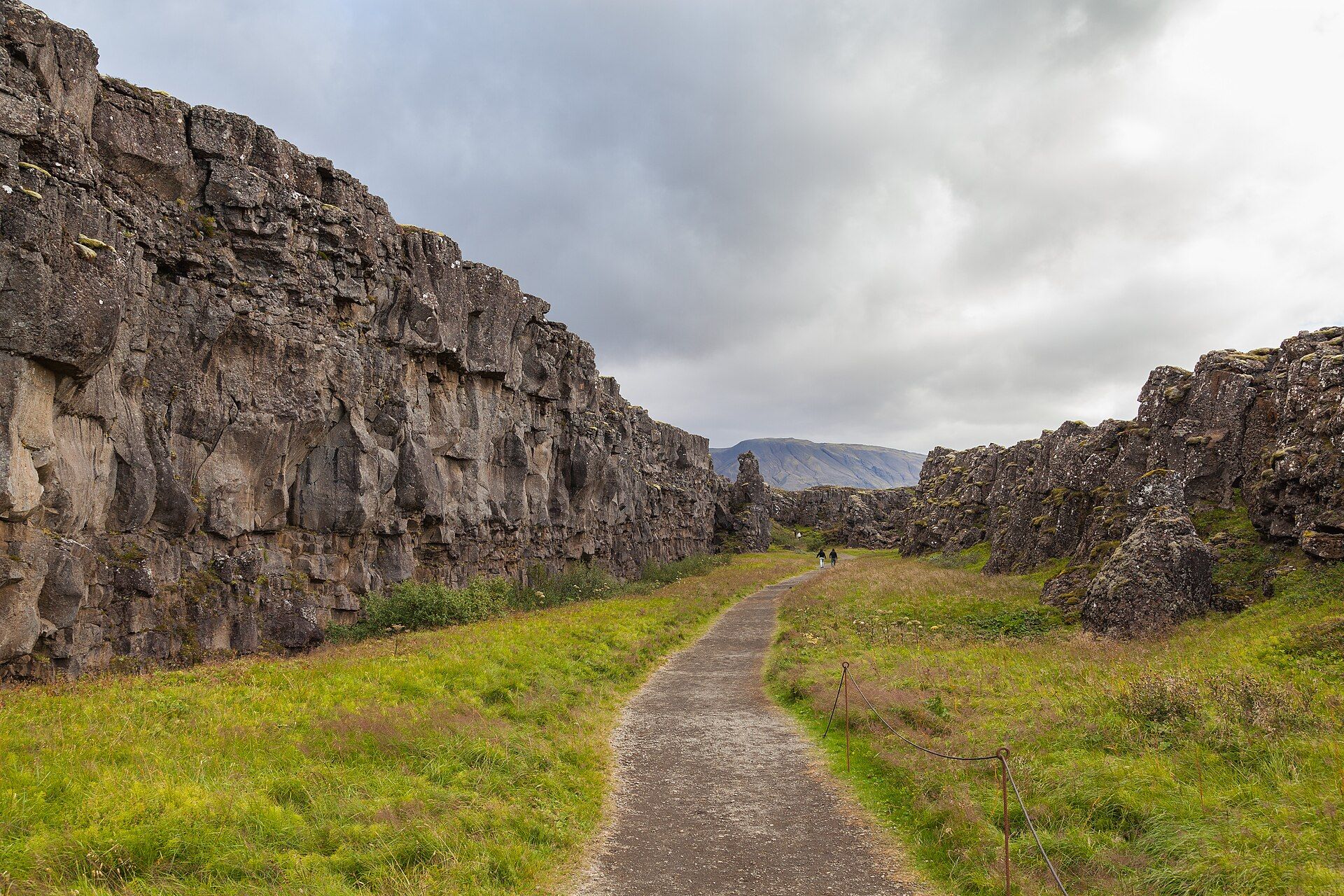
A rift valley where the North American and Eurasian tectonic plates are visibly pulling apart — a landscape of fissures, lava plains, and clear spring-fed water that is also the birthplace of Iceland's parliament.