Dettifoss
📍 Jökulsárgljúfur, Vatnajökull National Park, Northeast Iceland
Often called the most powerful waterfall in Europe — a grey glacial river hurling itself 44 metres into a black canyon, 100 metres wide and so loud the ground shakes and spray drifts for hundreds of metres.
What makes it marvelous
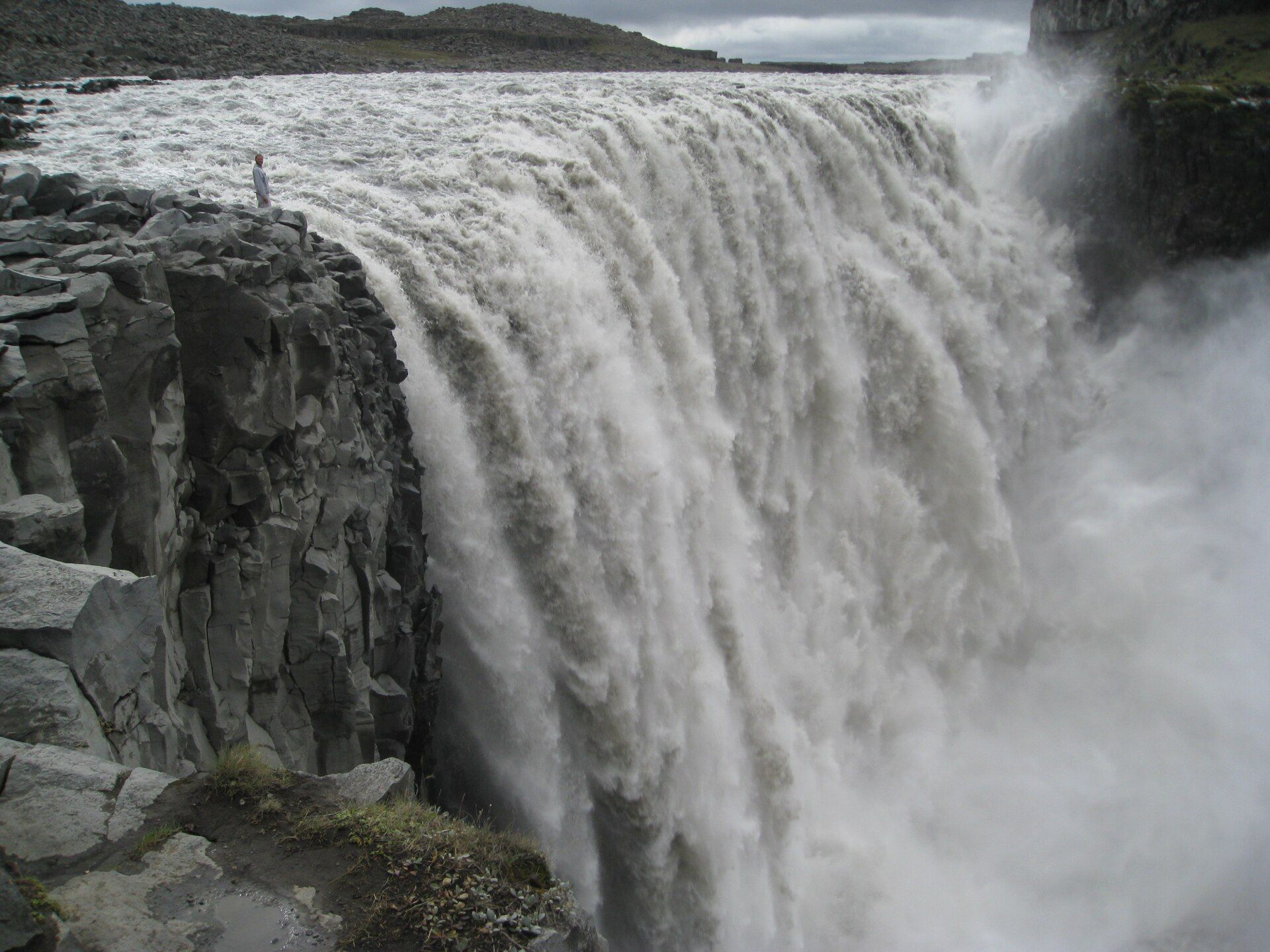
Dettifoss is fed by the Jökulsá á Fjöllum, a river carrying meltwater and rock flour off the Vatnajökull ice cap. That sediment gives the water its slate-grey colour and enormous mass: it thunders over a 44-metre lip about 100 metres wide, with an average flow of roughly 200 cubic metres a second — commonly ranked the most powerful waterfall in Europe by sheer volume of water in motion. It sits in Jökulsárgljúfur, a canyon the same river has been carving for millennia.
Why visit
It is less pretty than overwhelming. The raw scale, the grey water, the black basalt and the constant ground-trembling roar make it one of the most elemental sights in Iceland — the waterfall that stood in for an alien world in film for good reason.
Still deciding?
Dettifoss comes up most often against these — each one weighs cost, effort, season and crowds side by side.
More views of Dettifoss
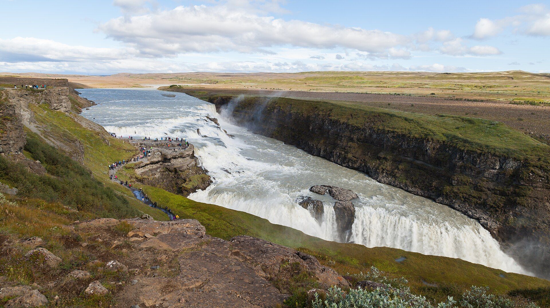
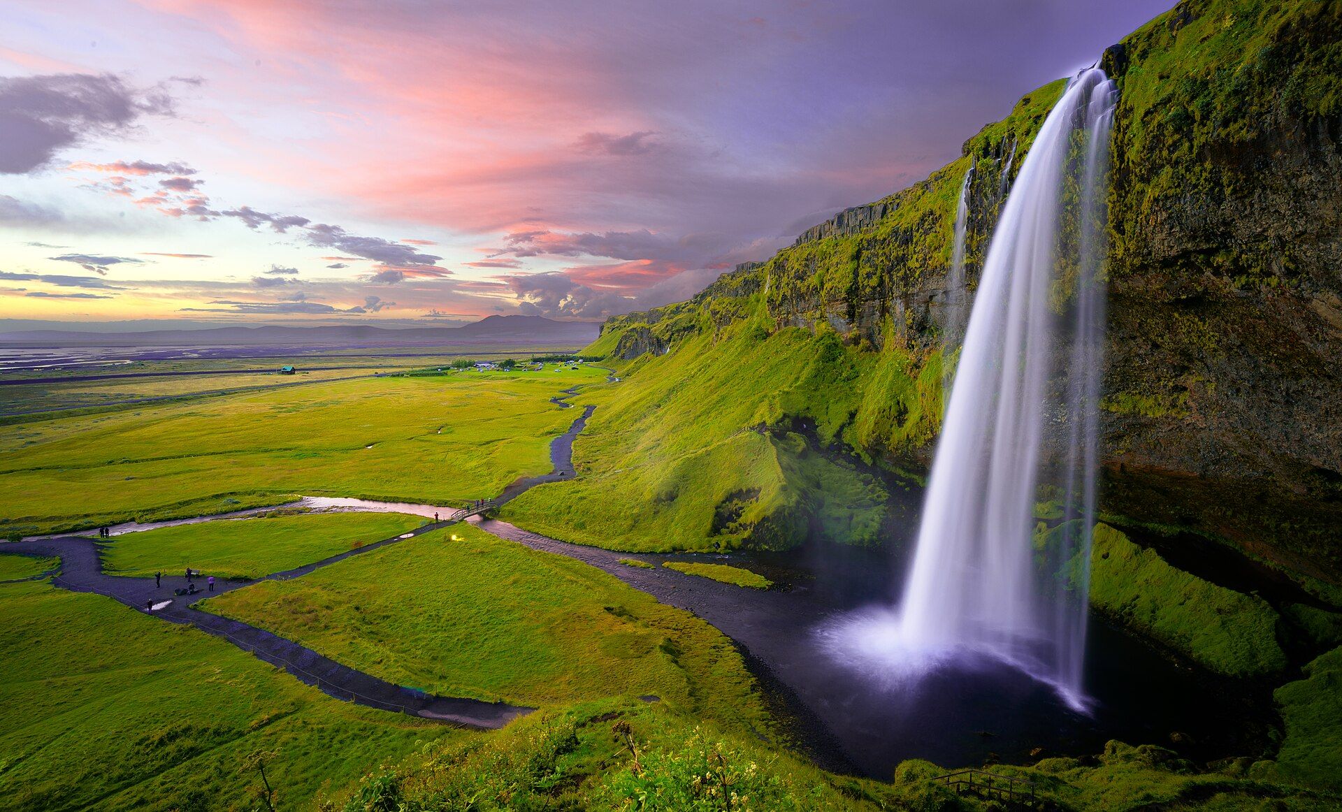
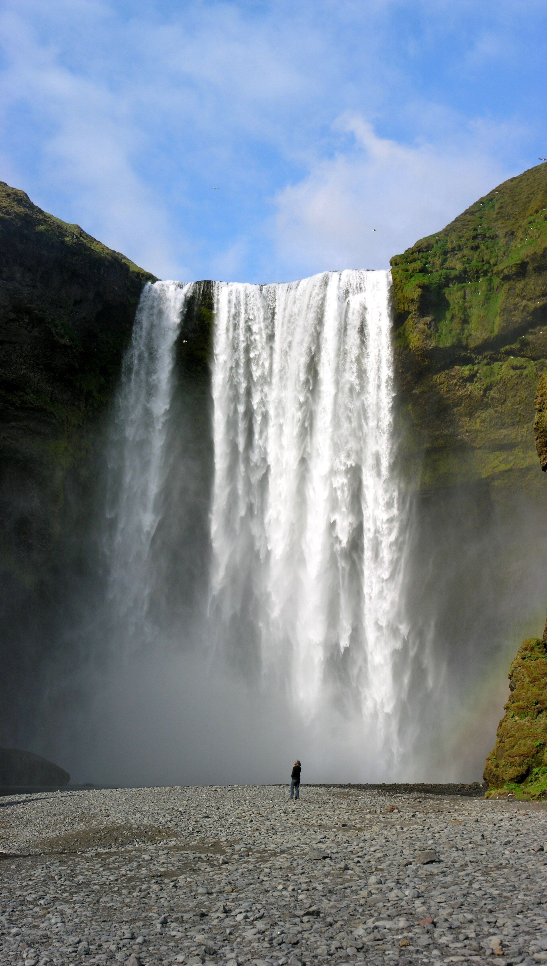
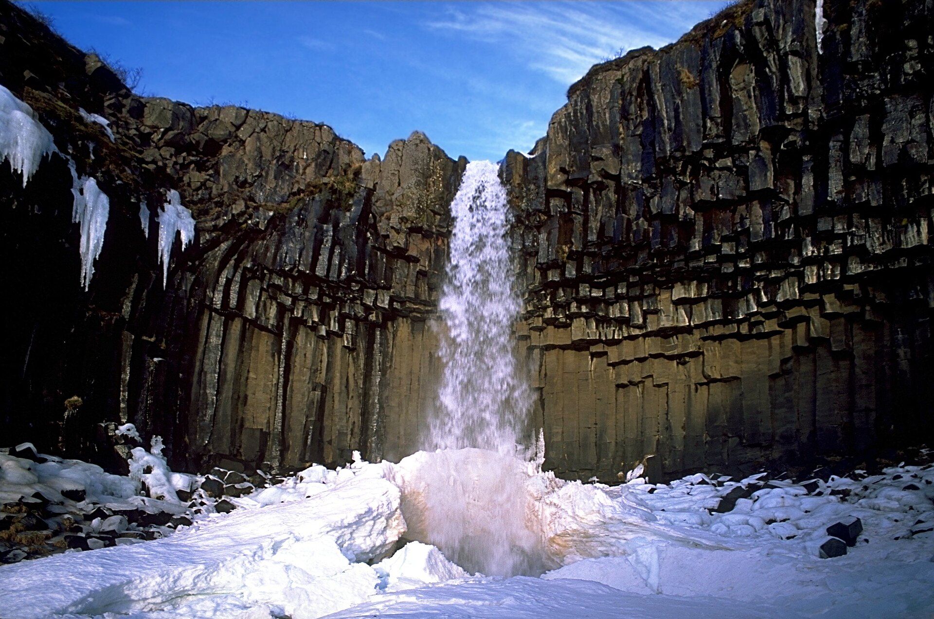
Additional photographs of the actual site — each freely licensed, with its photographer and licence credited.
What to know before you go
🗓️ Best time
June to early September, when both access roads are open and the flow is high with summer melt; the roads to the falls are typically snow-closed and hazardous outside summer.
🧭 Getting there & access
Reached from the Ring Road in the northeast. The paved road 862 serves the west bank with easier walking; the rougher road 864 serves the east bank. The two sides give quite different views and are not connected at the falls.
Good to know
- The west bank (road 862) is paved and easier; the east bank is closer to the lip but rougher underfoot.
- Wear waterproofs — the spray soaks the viewpoints and coats the rocks.
- Pair it with Selfoss just upstream and Hafragilsfoss just downstream on the same river.
Plan your visit
Moderate🧭 Getting there
From Akureyri (AEY) or Egilsstaðir (EGS), Iceland
- Fly to Akureyri or drive the Ring Road across the north
- Turn off onto road 862 (paved, west bank) or 864 (gravel, east bank)
- A signed walk of 10–20 minutes reaches the viewpoints from each car park
- Total travel
- Roughly 1–1h30 from Mývatn; a full day trip from Akureyri
- Time at site
- 1–2h, or half a day to add Selfoss and Hafragilsfoss
- Access
- The access roads are seasonal — usually open only in summer and closed or unsafe with snow and mud otherwise. Check current road status with the Icelandic road administration before setting out, as opening dates vary year to year.
🎒 What to bring & consider
- Full waterproofs; the spray is relentless at the viewpoints
- Sturdy shoes with grip for wet, uneven basalt
- Warm layers and wind protection even in July
- A full tank and supplies — services are sparse in the northeast
👁️ What to expect
- Crowds
- Busy in July and August on the paved west side; the east bank is quieter.
- Conditions
- Short but uneven walks on rock; slippery near the falls.
- Facilities
- Car parks and toilets; no cafes at the falls themselves.
- The view
- The full width from the west-bank viewpoint with a figure for scale; the low northern sun late in the evening cuts through the spray best.
Times and requirements are approximate and change with season, weather, and local rules — confirm permits, fares, and schedules with operators before you travel.
Natural riches of the area
- The glacial river Jökulsá á Fjöllum, draining the Vatnajökull ice cap
- The Jökulsárgljúfur canyon carved by that river
- Basalt columns and volcanic bedrock
- Sub-Arctic river ecosystems within Vatnajökull National Park
Local food
- Arctic char
- Cold-water fish from northern Icelandic lakes and rivers, often smoked.
- Lamb
- Free-ranging Icelandic lamb, the backbone of the country's cooking.
- Rye bread (rúgbrauð)
- Dense, dark bread traditionally baked using geothermal heat in the north.
Dettifoss does not charm you; it overwhelms you. The Jökulsá á Fjöllum gathers meltwater and pulverised rock off the Vatnajökull ice cap and carries it north as a heavy, slate-grey flood, and where the river reaches Dettifoss it drops 44 metres over a lip some 100 metres wide. With an average flow of around 200 cubic metres a second, it is routinely described as the most powerful waterfall in Europe — a claim measured in mass and force rather than height, and one you feel in the ground underfoot.
The falls sit within Jökulsárgljúfur, part of Vatnajökull National Park, in a canyon the river itself has cut. Two roads reach it: the paved west bank with its easier paths, and the rougher east bank that brings you nearer the edge. Upstream lies the broad, elegant Selfoss and downstream the narrower Hafragilsfoss, so the truly committed can walk a stretch of one of Iceland’s great glacial rivers and meet three very different falls in a day.
Dettifoss: common questions
How do you get to Dettifoss?
From Akureyri (AEY) or Egilsstaðir (EGS), Iceland: Fly to Akureyri or drive the Ring Road across the north; Turn off onto road 862 (paved, west bank) or 864 (gravel, east bank); A signed walk of 10–20 minutes reaches the viewpoints from each car park. Total travel time: Roughly 1–1h30 from Mývatn; a full day trip from Akureyri.
When is the best time to visit Dettifoss?
June to early September, when both access roads are open and the flow is high with summer melt; the roads to the falls are typically snow-closed and hazardous outside summer.
How long should you spend at Dettifoss?
1–2h, or half a day to add Selfoss and Hafragilsfoss. Total travel time: Roughly 1–1h30 from Mývatn; a full day trip from Akureyri.
What should you bring to Dettifoss?
Full waterproofs; the spray is relentless at the viewpoints Sturdy shoes with grip for wet, uneven basalt Warm layers and wind protection even in July A full tank and supplies — services are sparse in the northeast
Do you need a permit or guide for Dettifoss?
The access roads are seasonal — usually open only in summer and closed or unsafe with snow and mud otherwise. Check current road status with the Icelandic road administration before setting out, as opening dates vary year to year.
Is Dettifoss crowded, and what are conditions like?
Busy in July and August on the paved west side; the east bank is quieter. Short but uneven walks on rock; slippery near the falls. Facilities: Car parks and toilets; no cafes at the falls themselves.
Added
More wonders to explore