Kirkjufell
📍 Grundarfjörður, Snæfellsnes Peninsula, West Iceland
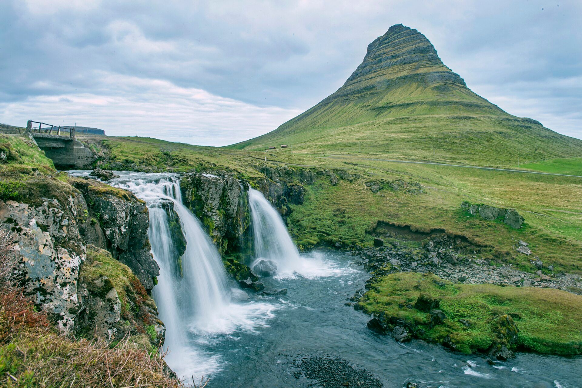
A steep, symmetrical 463-metre peak rising alone from the sea on the Snæfellsnes Peninsula — often called the most photographed mountain in Iceland, most famously with the small tiered waterfall Kirkjufellsfoss in the foreground.
What makes it marvelous
Kirkjufell — 'Church Mountain' — is a lopsided cone of layered rock left standing after Ice Age glaciers scoured the land around it. Its flanks record the story plainly: bands of sandstone and mudstone laid down between lava flows, then planed by ice and picked at by wind and rain into the sharp, curving profile seen today. Standing almost isolated on a narrow spit beside Grundarfjörður, it rises 463 metres straight from the shoreline, so its whole height reads at once against the water and sky.
Why visit
It is one of those rare landforms that looks composed rather than accidental. From the little car park by Kirkjufellsfoss you can frame the tiered falls, the mountain, and — in the dark months — the aurora above it in a single view. The wider Snæfellsnes Peninsula packs glaciers, lava fields, black beaches, and seabird cliffs into a compact loop, with Kirkjufell as its unmistakable landmark.
Still deciding?
Kirkjufell comes up most often against these — each one weighs cost, effort, season and crowds side by side.
More views of Kirkjufell
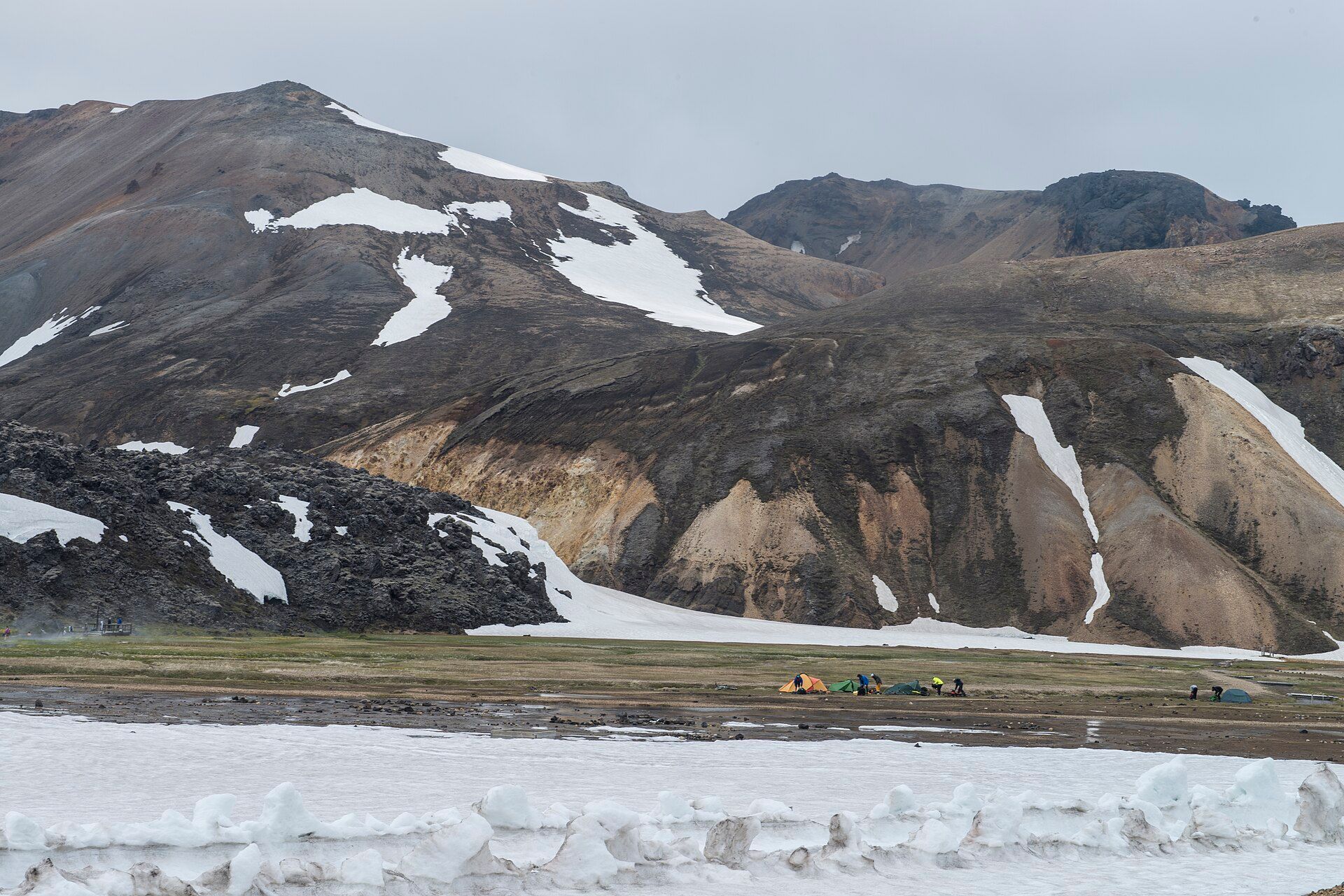
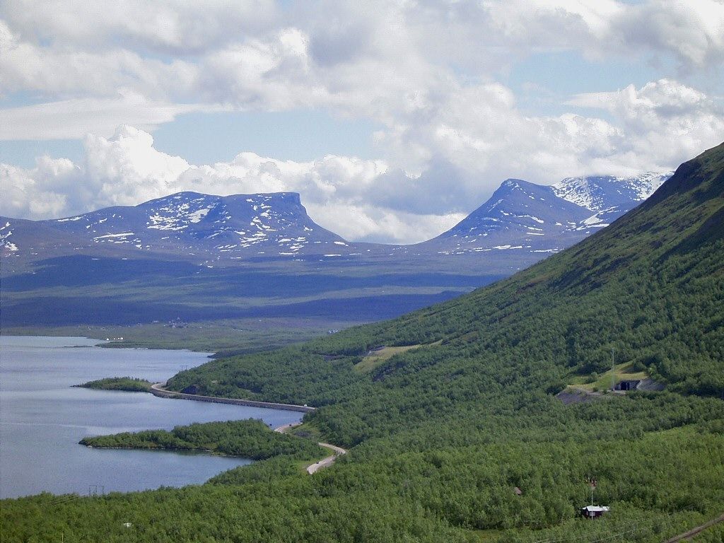
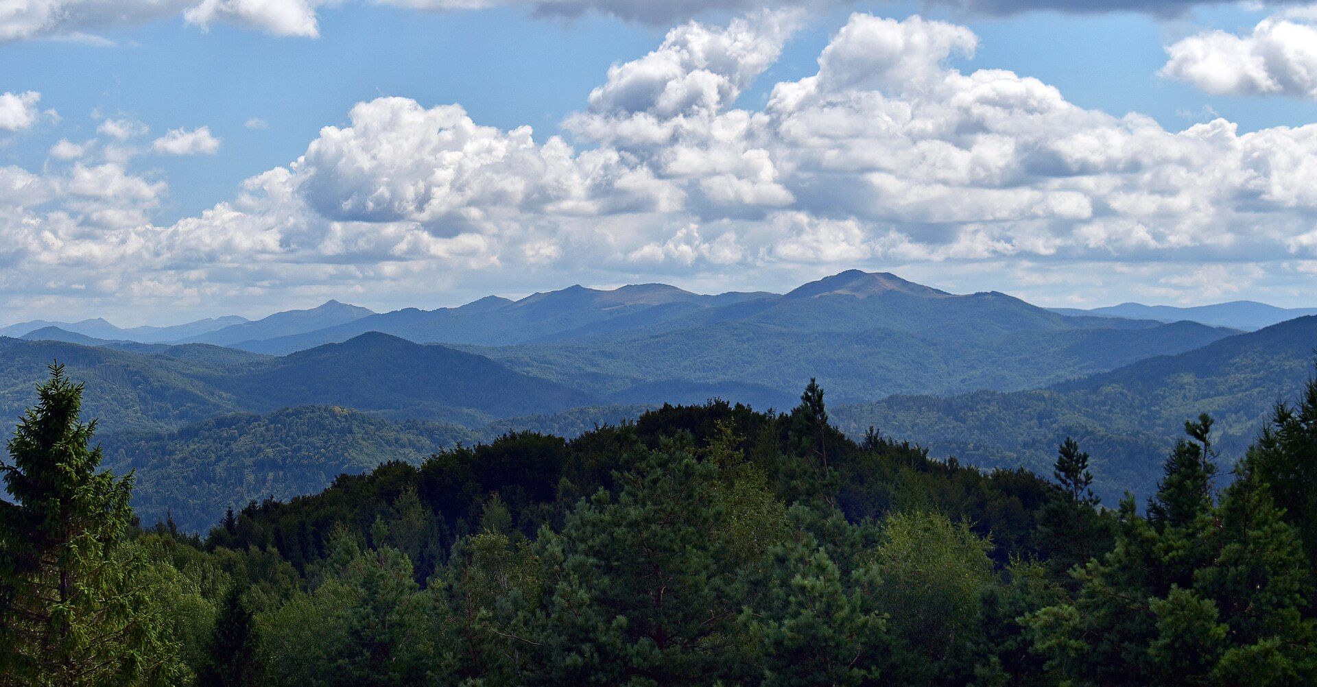
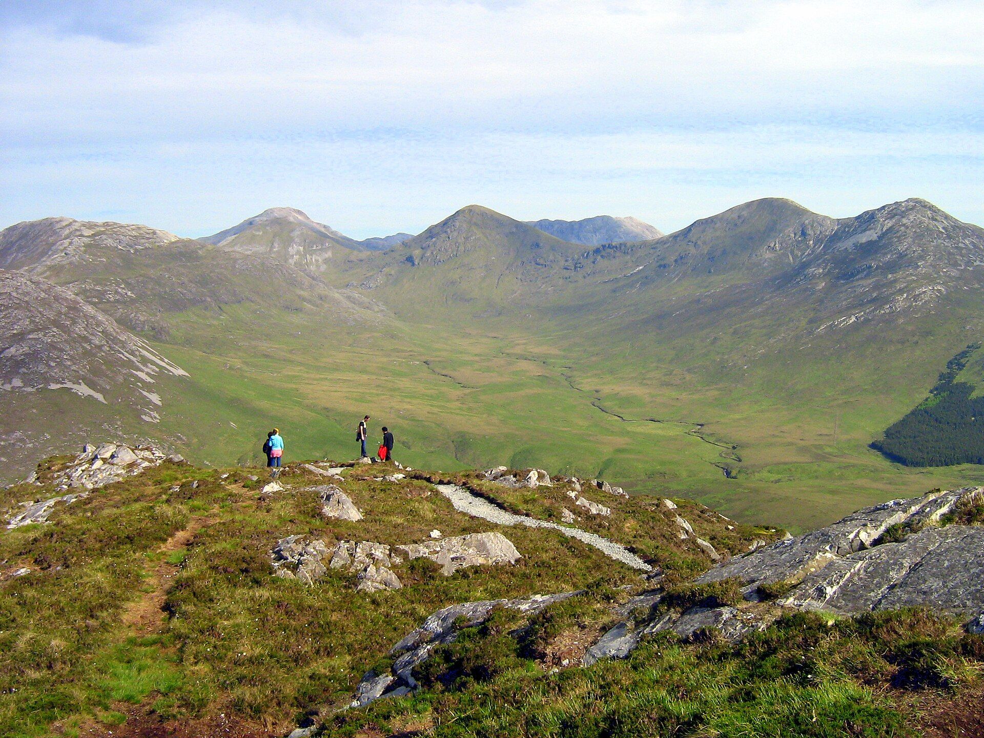
Additional photographs of the actual site — each freely licensed, with its photographer and licence credited.
What to know before you go
🗓️ Best time
Reachable year-round. June to August gives long days, green slopes, and the easiest driving; September to March offers the best chance of northern lights arching over the peak, at the cost of cold, ice, and short daylight.
🧭 Getting there & access
On the Snæfellsnes Peninsula in West Iceland, just west of the town of Grundarfjörður on Route 54, about a 2–2.5 hour drive from Reykjavík. A small paid car park serves the Kirkjufellsfoss viewpoint; the falls are a few minutes' walk away.
Good to know
- Shoot from the Kirkjufellsfoss car park for the classic mountain-and-waterfall composition.
- The summit scramble is steep, exposed, and has fatal accident history — it needs a guide and good conditions, not a casual attempt.
- Come in winter for the aurora, but check road and weather forecasts on road.is and vedur.is first.
Plan your visit
Easy🧭 Getting there
From Reykjavík (KEF), Iceland
- Drive north and west from Reykjavík toward the Snæfellsnes Peninsula (~2–2h30)
- Follow Route 54 along the peninsula to Grundarfjörður
- The Kirkjufellsfoss car park and viewpoint are just west of the town
- Total travel
- About 2–2h30 by road from Reykjavík
- Time at site
- 1–2h at the viewpoint, or a full day to loop the wider peninsula
- Access
- Reached year-round by paved roads, though winter storms can close routes — check road.is before setting out. The viewpoint car park charges a small fee; the summit climb is only for experienced, guided parties.
🎒 What to bring & consider
- Warm, windproof layers — the exposed spit is often blasted by fjord wind
- Waterproofs and grippy footwear for the muddy falls path
- Winter tyres and a weather check if visiting for the aurora
- A tripod for low-light and northern-lights photography
👁️ What to expect
- Crowds
- The waterfall viewpoint is popular and can be busy at sunrise and sunset.
- Conditions
- Short, sometimes muddy walk to the falls; the mountain itself is a serious climb.
- Facilities
- Car park and toilets; full services in Grundarfjörður a few minutes away.
- The view
- Kirkjufellsfoss in the foreground with the peak behind — early or late light in summer, or a clear, dark winter night for the aurora.
Times and requirements are approximate and change with season, weather, and local rules — confirm permits, fares, and schedules with operators before you travel.
Natural riches of the area
- The layered sedimentary and volcanic rock of the Snæfellsnes Peninsula
- Kirkjufellsfoss and the streams draining the surrounding hills
- The fjord waters of Grundarfjörður and their seabird and marine life
- Coastal heath and moss of West Iceland
Local food
- Harðfiskur
- Wind-dried fish, usually cod or haddock, eaten with butter — a coastal Icelandic staple.
- Blue mussels
- Harvested from the cold fjords of Snæfellsnes and steamed simply.
- Rúgbrauð (rye bread)
- Dense, dark, slightly sweet bread, traditionally baked slowly with geothermal heat.
Kirkjufell stands almost alone on a narrow spit of the Snæfellsnes Peninsula, a steep, curving cone rising 463 metres straight out of the sea beside the town of Grundarfjörður. Its name means ‘Church Mountain’, for a shape early sailors thought resembled a steeple. The layered flanks tell how it was made: alternating beds of sandstone, mudstone, and lava, stacked over long ages and then carved by Ice Age glaciers that stripped away the softer land around it and left this harder core behind. Wind and rain have since sharpened the profile into the elegant, slightly leaning form that draws photographers from all over the world.
Most of them shoot it from the same spot — the little car park beside Kirkjufellsfoss, where a tiered waterfall drops in the foreground and the mountain rises beyond, a composition so recognisable it has become a shorthand for Iceland itself. In the dark half of the year the northern lights curl above the peak; in summer the slopes turn green under the midnight sun. The mountain is often called the most photographed in the country, but the summit is no easy prize: the climb is steep, exposed, and has claimed lives, and is best left to guided parties in good conditions. For most visitors, Kirkjufell is a thing to stand beneath and watch, the centrepiece of a peninsula full of glaciers, lava, and black-sand coast.
Kirkjufell: common questions
How do you get to Kirkjufell?
From Reykjavík (KEF), Iceland: Drive north and west from Reykjavík toward the Snæfellsnes Peninsula (~2–2h30); Follow Route 54 along the peninsula to Grundarfjörður; The Kirkjufellsfoss car park and viewpoint are just west of the town. Total travel time: About 2–2h30 by road from Reykjavík.
When is the best time to visit Kirkjufell?
Reachable year-round. June to August gives long days, green slopes, and the easiest driving; September to March offers the best chance of northern lights arching over the peak, at the cost of cold, ice, and short daylight.
How long should you spend at Kirkjufell?
1–2h at the viewpoint, or a full day to loop the wider peninsula. Total travel time: About 2–2h30 by road from Reykjavík.
What should you bring to Kirkjufell?
Warm, windproof layers — the exposed spit is often blasted by fjord wind Waterproofs and grippy footwear for the muddy falls path Winter tyres and a weather check if visiting for the aurora A tripod for low-light and northern-lights photography
Do you need a permit or guide for Kirkjufell?
Reached year-round by paved roads, though winter storms can close routes — check road.is before setting out. The viewpoint car park charges a small fee; the summit climb is only for experienced, guided parties.
Is Kirkjufell crowded, and what are conditions like?
The waterfall viewpoint is popular and can be busy at sunrise and sunset. Short, sometimes muddy walk to the falls; the mountain itself is a serious climb. Facilities: Car park and toilets; full services in Grundarfjörður a few minutes away.
Added
More wonders to explore