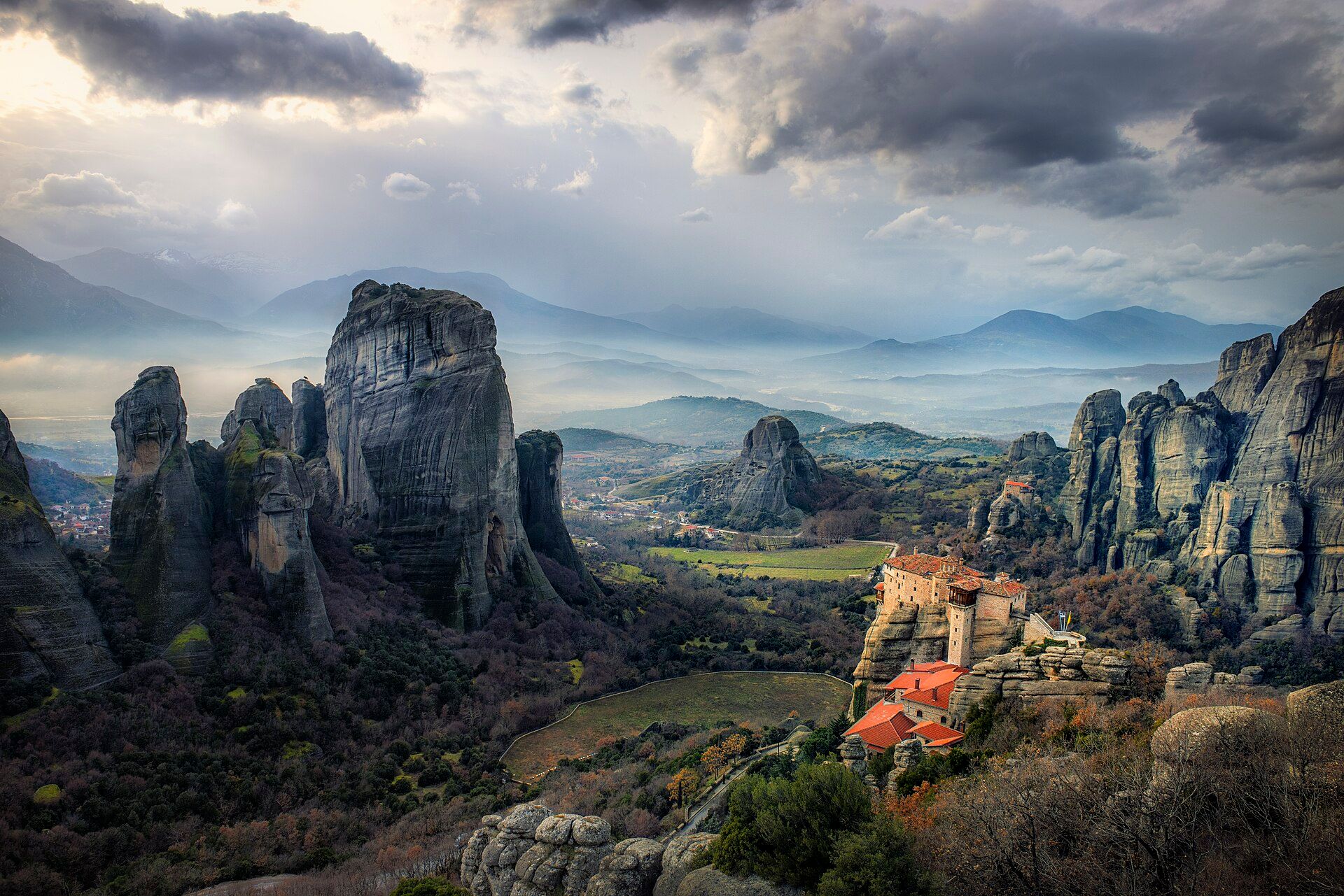
Þingvellir (Thingvellir)
📍 Þingvellir National Park, Southwest Iceland
A rift valley where the North American and Eurasian tectonic plates are visibly pulling apart — a landscape of fissures, lava plains, and clear spring-fed water that is also the birthplace of Iceland's parliament.
What makes it marvelous
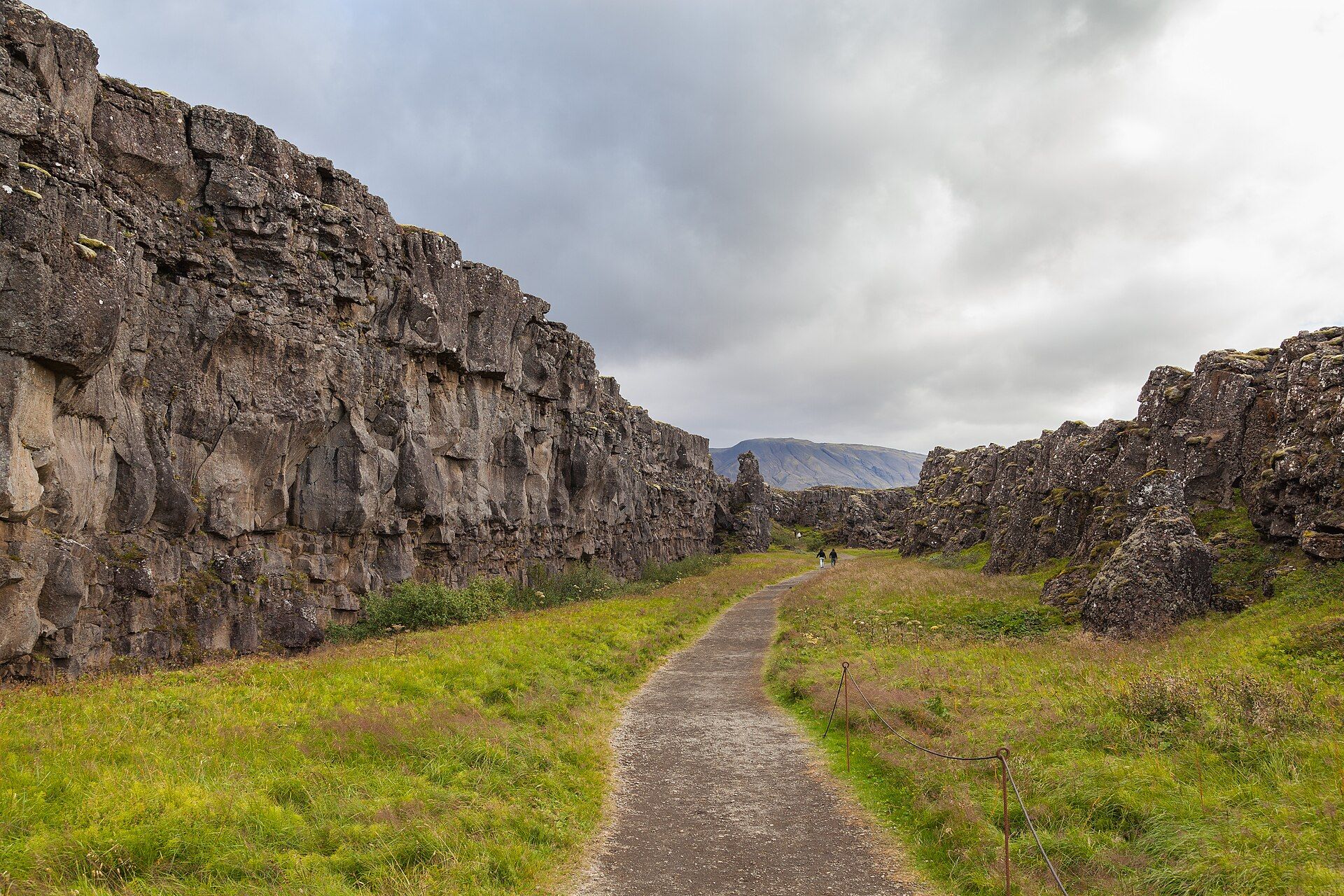
Þingvellir straddles the Mid-Atlantic Ridge, the seam where two of Earth's great tectonic plates diverge by roughly two centimetres a year. You can walk in the Almannagjá gorge with North America on one side and, across the valley, Eurasia on the other. The rift has opened cracks that fill with glacial meltwater filtered through lava, so clear that divers in the Silfra fissure can see 100 metres. It is one of the few places on land where a plate boundary is so plainly on show.
Why visit
It is geology you can walk through — a valley slowly tearing in two, with a waterfall, lava fields, and glassy fissures. It carries deep human history too: the Alþingi, one of the world's oldest parliaments, met here from 930 AD. Nature and nation intertwined.
Still deciding?
Þingvellir (Thingvellir) comes up most often against these — each one weighs cost, effort, season and crowds side by side.
What to know before you go
🗓️ Best time
June to September for comfortable walking and diving; the park is open year-round with winter access to the main sites.
🧭 Getting there & access
About 45 minutes from Reykjavík, the first stop on the Golden Circle. Free entry; small parking fee. Silfra diving/snorkelling is by licensed operators only.
Good to know
- Walk the Almannagjá gorge to stand between the continents.
- Silfra snorkelling is stunning but cold — go only with a certified operator in a drysuit.
- Stay on marked paths; the fissures are deep and the moss is fragile.
Plan your visit
Easy🧭 Getting there
From Reykjavík, Iceland
- Drive Reykjavík → Þingvellir National Park — roughly 45 minutes
- Walk the Almannagjá rift path from the Hakið visitor centre — about 30–45 minutes
- Drive on to the Silfra car park if you are snorkelling — 10 minutes
- Total travel
- Under an hour from Reykjavík
- Time at site
- Half a day, or a full day with Silfra
- Access
- The park is free to enter but parking is charged and enforced by camera — pay online or at the machine. Snorkelling and diving in the Silfra fissure is only permitted through licensed operators, and drysuit diving there requires certification and logged drysuit dives; snorkellers complete a medical declaration and there are age and health restrictions. Operators cancel in high wind. Confirm the requirements with your operator before booking flights around it.
🎒 What to bring & consider
- A drysuit and the operator that comes with it for Silfra, where the glacial meltwater sits at roughly 2–4°C year-round — this is not water you enter in a wetsuit
- Warm dry clothes to change into afterwards, because the head and hands are exposed even in a drysuit
- Parking paid for on the day, since the fine arrives by post and catches out hire-car visitors
- Layers and windproofs for an exposed rift valley with no shelter
- Grippy footwear for the Almannagjá path, which is paved but ices over
👁️ What to expect
- Crowds
- Steady on the main rift path, and concentrated at Silfra where operators run timed slots.
- Conditions
- Flat, easy walking between rock walls. Cold, windy and often wet. Underwater, extraordinary clarity and numbing cold.
- Facilities
- Visitor centre, toilets, cafés and marked paths. Changing facilities at Silfra are basic.
- The view
- The rift walls at Almannagjá with the lake beyond, or underwater in Silfra where visibility runs to a hundred metres and the rock walls of two continental plates are on either side of you. The second is the reason people come, and it is genuinely as clear as the photographs suggest.
Times and requirements are approximate and change with season, weather, and local rules — confirm permits, fares, and schedules with operators before you travel.
Natural riches of the area
- The Mid-Atlantic Ridge and active rifting geology
- Iceland's largest natural lake, Þingvallavatn, with endemic char
- Ultra-clear glacial spring water filtered through lava
- Lava fields, birch scrub, and Arctic birdlife
Local food
- Arctic char
- Fished from Þingvallavatn and Iceland's cold lakes, often smoked or pan-fried.
- Lamb & skyr
- Free-ranging lamb and thick cultured skyr — the Icelandic staples.
- Geothermal rye bread
- Sweet dense rúgbrauð baked by underground heat nearby.
Þingvellir is a place where you can literally walk the join between two continents. It sits astride the Mid-Atlantic Ridge, where the North American and Eurasian plates pull apart by a couple of centimetres a year, and the strain shows: the valley floor is cracked with fissures, and the Almannagjá gorge is the very edge of the North American plate. In the Silfra fissure, glacial meltwater filtered slowly through lava is so pure and clear that snorkellers seem to float in glass.
It is also the cradle of Iceland’s national story. The Alþingi, one of the oldest parliaments on Earth, first gathered on this lava plain in 930 AD, and continued here for centuries. That fusion — a continent tearing open beneath a place where a nation was born — is why Þingvellir is both a geological and a cultural World Heritage Site.
Þingvellir (Thingvellir): common questions
How do you get to Þingvellir (Thingvellir)?
From Reykjavík, Iceland: Drive Reykjavík → Þingvellir National Park — roughly 45 minutes; Walk the Almannagjá rift path from the Hakið visitor centre — about 30–45 minutes; Drive on to the Silfra car park if you are snorkelling — 10 minutes. Total travel time: Under an hour from Reykjavík.
When is the best time to visit Þingvellir (Thingvellir)?
June to September for comfortable walking and diving; the park is open year-round with winter access to the main sites.
How long should you spend at Þingvellir (Thingvellir)?
Half a day, or a full day with Silfra. Total travel time: Under an hour from Reykjavík.
What should you bring to Þingvellir (Thingvellir)?
A drysuit and the operator that comes with it for Silfra, where the glacial meltwater sits at roughly 2–4°C year-round — this is not water you enter in a wetsuit Warm dry clothes to change into afterwards, because the head and hands are exposed even in a drysuit Parking paid for on the day, since the fine arrives by post and catches out hire-car visitors Layers and windproofs for an exposed rift valley with no shelter Grippy footwear for the Almannagjá path, which is paved but ices over
Do you need a permit or guide for Þingvellir (Thingvellir)?
The park is free to enter but parking is charged and enforced by camera — pay online or at the machine. Snorkelling and diving in the Silfra fissure is only permitted through licensed operators, and drysuit diving there requires certification and logged drysuit dives; snorkellers complete a medical declaration and there are age and health restrictions. Operators cancel in high wind. Confirm the requirements with your operator before booking flights around it.
Is Þingvellir (Thingvellir) crowded, and what are conditions like?
Steady on the main rift path, and concentrated at Silfra where operators run timed slots. Flat, easy walking between rock walls. Cold, windy and often wet. Underwater, extraordinary clarity and numbing cold. Facilities: Visitor centre, toilets, cafés and marked paths. Changing facilities at Silfra are basic.
Added Updated
More wonders to explore