Seljalandsfoss
📍 Seljaland, South Iceland
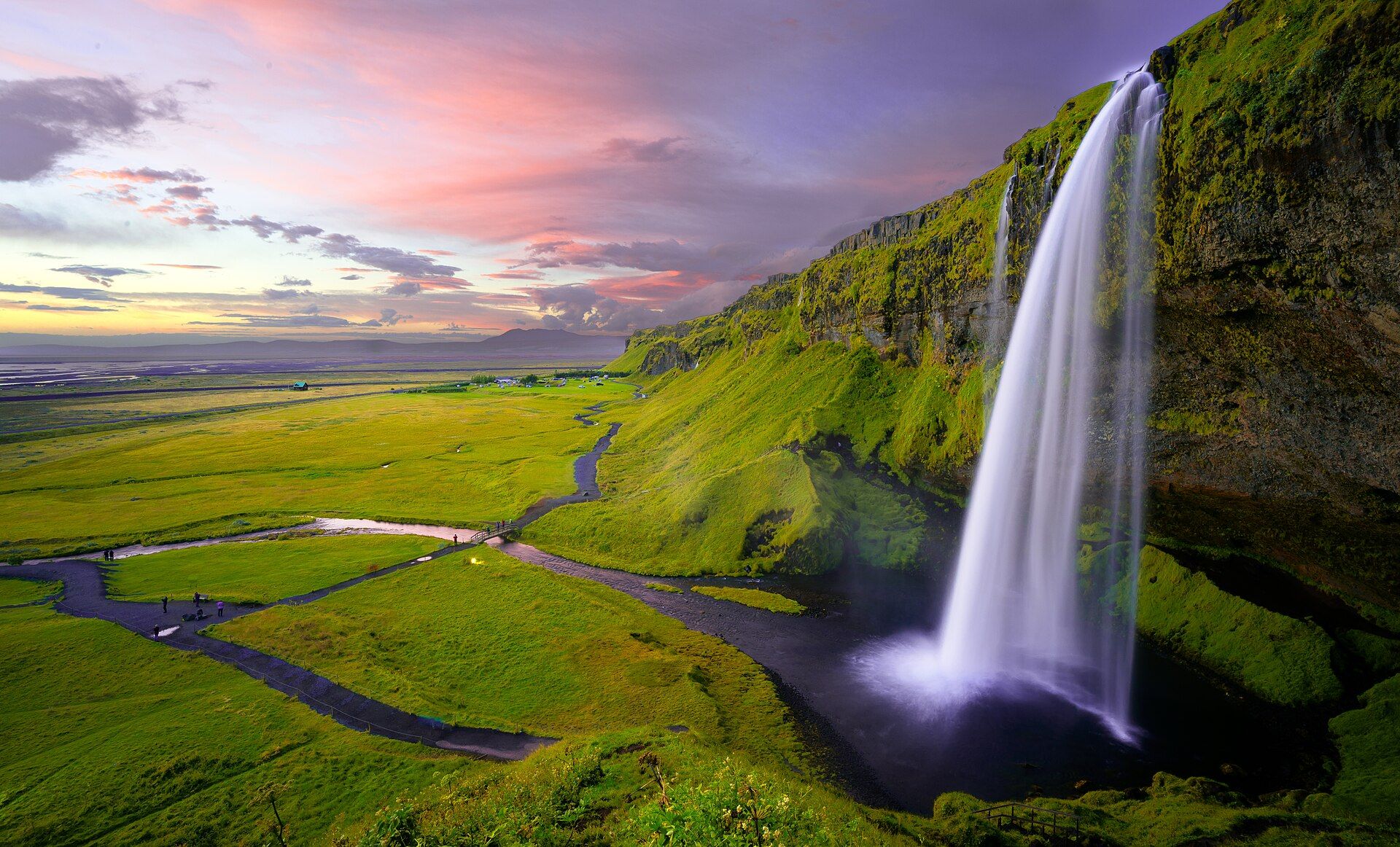
The waterfall you can walk behind — a slender 60-metre ribbon on the Seljalandsá river, fed by the Eyjafjallajökull ice cap, dropping over a former sea cliff into a mossy amphitheatre with a footpath that loops right around behind the falling water.
What makes it marvelous
Seljalandsfoss falls a clean 60 metres over the same line of ancient sea cliffs that runs along Iceland's south coast, where the Seljalandsá — meltwater from the Eyjafjallajökull ice cap and volcano — reaches the drop. What sets it apart is the cave-like recess the water has scooped out of the cliff behind it: a path threads along that hollow, so you can stand behind the entire falling column and look out through the curtain of water. Few waterfalls anywhere let you get so completely surrounded by the fall itself, and fewer still frame the low midnight sun through the water in summer.
Why visit
Walking the loop behind the falls is the whole point — a short, soaking, unforgettable circuit that puts you inside the waterfall rather than in front of it. The recess also makes Seljalandsfoss one of the most photographed spots in Iceland, especially when the late-evening sun burns orange straight through the water. A short walk north along the cliff hides Gljúfrabúi, a second fall half-concealed in a slot canyon.
Still deciding?
Seljalandsfoss comes up most often against these — each one weighs cost, effort, season and crowds side by side.
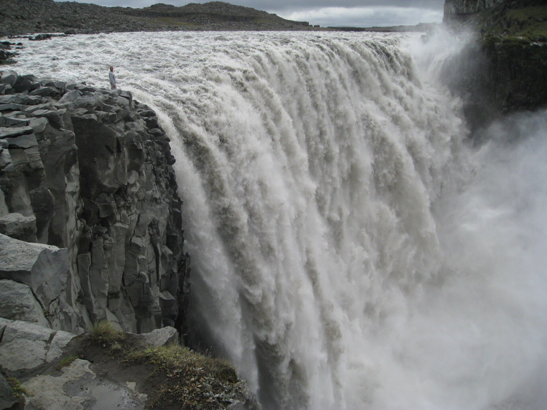
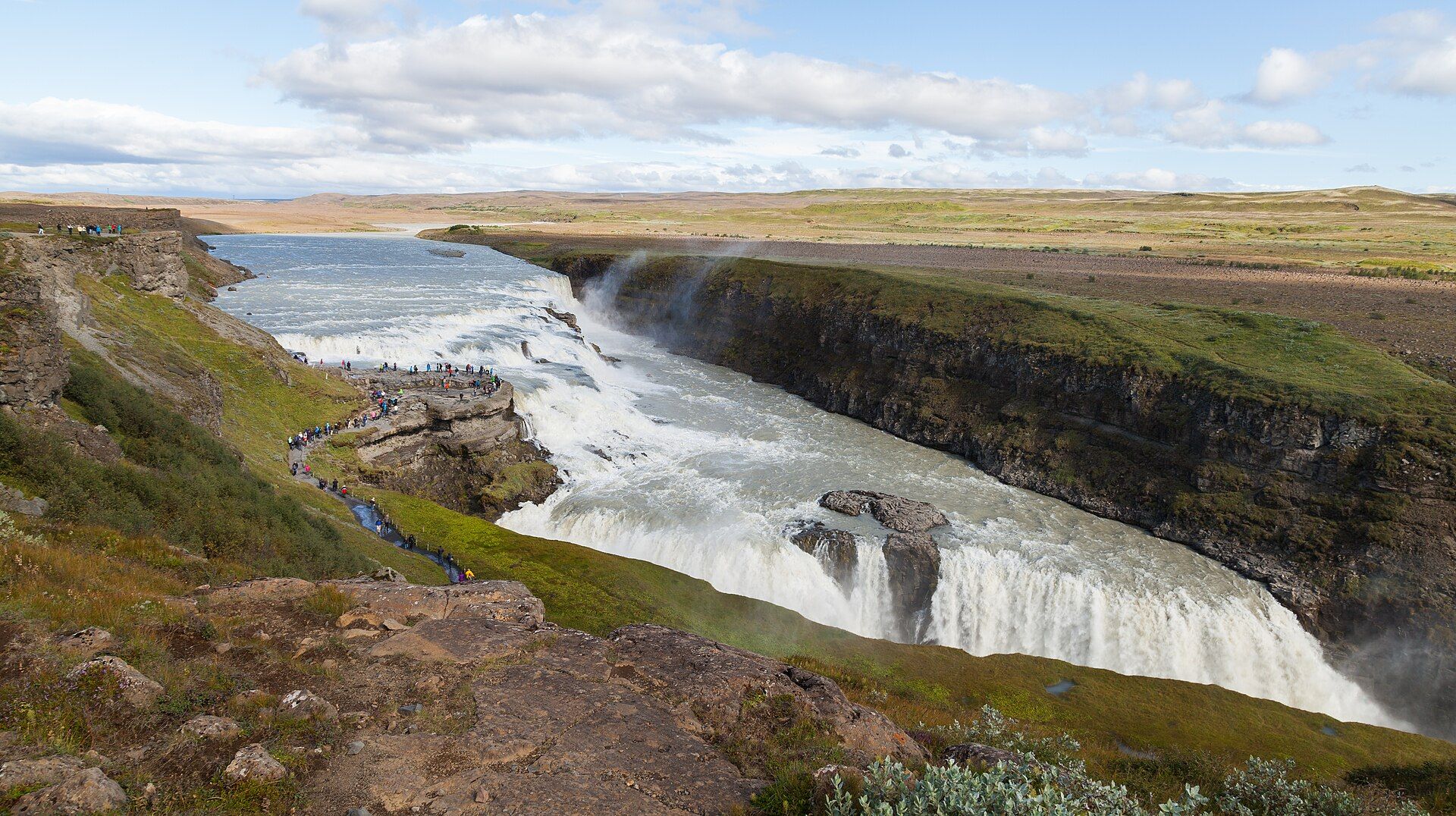
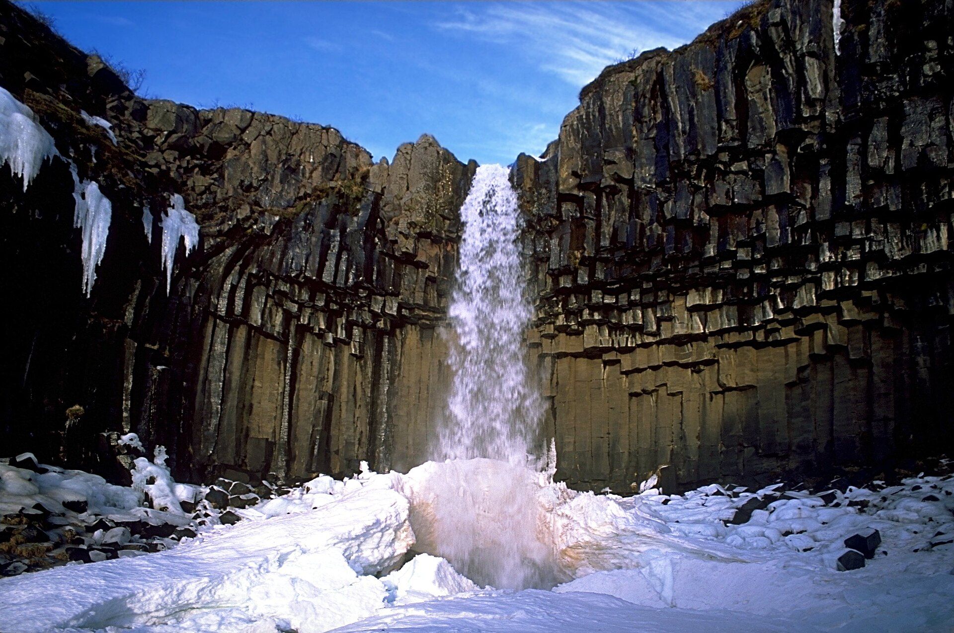
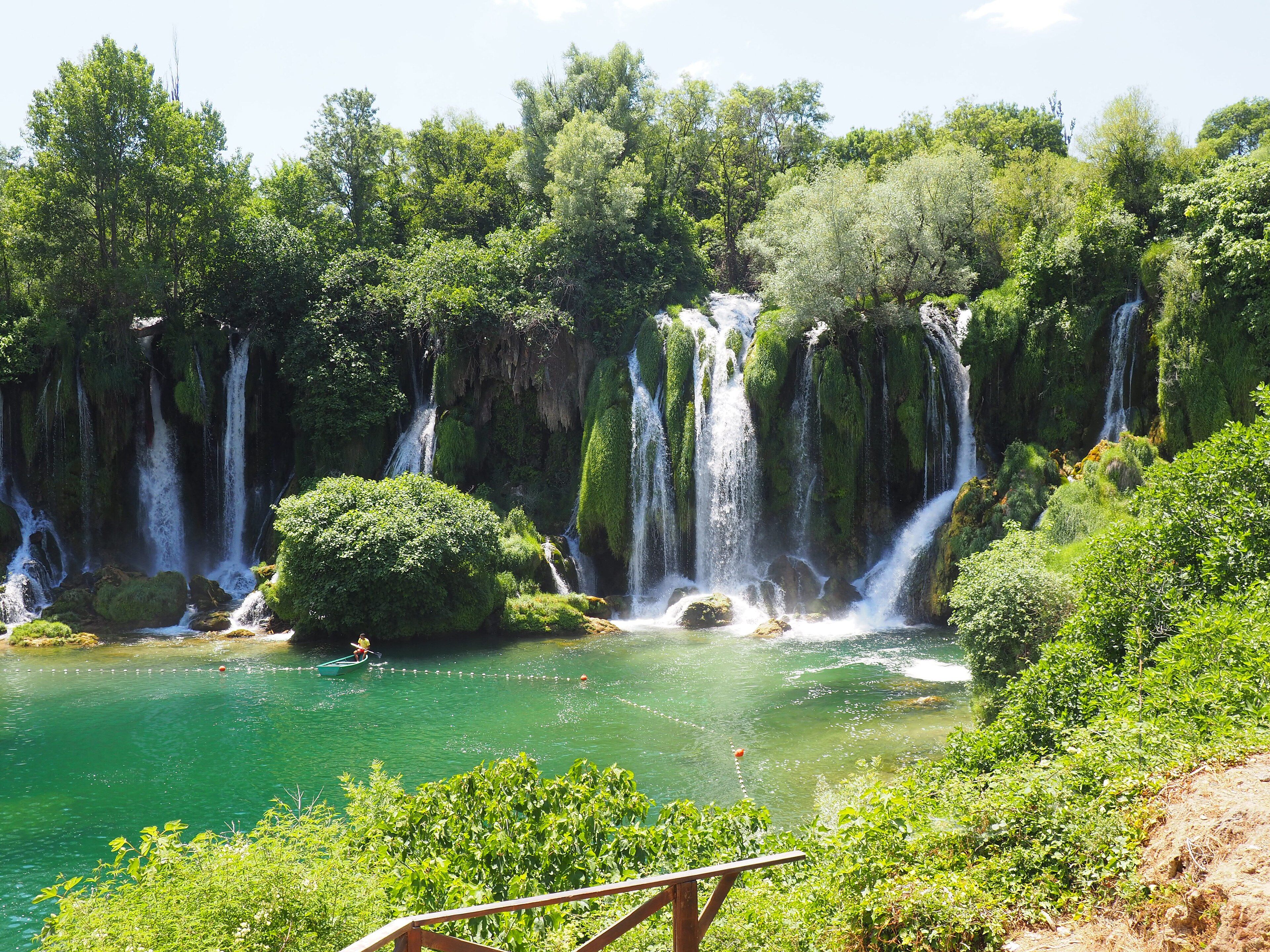
More views of Seljalandsfoss
Additional photographs of the actual site — each freely licensed, with its photographer and licence credited.
What to know before you go
🗓️ Best time
Best May to September, when the path behind the falls is open, the footing is safe, and the summer evening sun can shine through the water; in winter the spray freezes the loop path into sheet ice and the rear route is often roped off.
🧭 Getting there & access
Right beside Route 1 (the Ring Road) at Seljaland, about 120 km southeast of Reykjavík, where Route 249 branches off. A paid car park sits at the base; the loop path behind the falls begins there.
Good to know
- Wear full waterproofs and grippy shoes — the path behind the falls soaks everyone and everything.
- Come in the late evening in summer for the sun shining straight through the water.
- Walk five minutes north to find Gljúfrabúi, a hidden fall inside a mossy slot canyon.
Plan your visit
Easy🧭 Getting there
From Reykjavík (KEF), Iceland
- Drive the Ring Road (Route 1) southeast from Reykjavík about 120 km
- Turn in at the signed car park where Route 249 branches off
- The loop path behind the falls starts at the base
- Total travel
- About 2h by road from Reykjavík
- Time at site
- 1–2h, allowing the loop behind the falls and the walk to Gljúfrabúi
- Access
- On the Ring Road and open year-round, with a paid car park. The path behind the falls is often closed or dangerously icy in winter — check conditions with local operators or safetravel.is in bad weather.
🎒 What to bring & consider
- Full waterproofs — the path behind the falls soaks you completely
- Shoes with strong grip for the wet, uneven loop path
- Wind and warm layers year-round, even in summer
- A lens cloth or waterproof camera cover for the spray
👁️ What to expect
- Crowds
- One of the South Coast's busiest stops; early morning and late evening are calmer.
- Conditions
- A short but wet, slippery loop with steps behind the falls.
- Facilities
- Paid car park with toilets and a small food kiosk in season.
- The view
- The classic frame is from behind the falls looking out through the water; in summer wait for the low evening sun to blaze through it.
Times and requirements are approximate and change with season, weather, and local rules — confirm permits, fares, and schedules with operators before you travel.
Natural riches of the area
- The Seljalandsá river, fed by meltwater from the Eyjafjallajökull ice cap
- The old coastal cliff line running along Iceland's south coast
- Moss, ferns, and birch clinging to the damp cliff amphitheatre
- Sub-Arctic river and cliff ecosystems
Local food
- Kjötsúpa (lamb soup)
- Hearty Icelandic lamb-and-root-vegetable soup, warming against the coastal wind.
- Arctic char
- Cold-water fish from Icelandic lakes and rivers, often smoked or pan-fried.
- Skyr
- Thick Icelandic cultured dairy, eaten for centuries, served with berries or cream.
Seljalandsfoss is the waterfall you step inside. The Seljalandsá river gathers meltwater from the Eyjafjallajökull ice cap and carries it to the line of old sea cliffs that mark Iceland’s former coast, where it drops a clean 60 metres into a green, mossy amphitheatre. Over the centuries the water has hollowed out a shallow cave behind the fall, and a footpath threads through it — so instead of watching the waterfall from the front, you can walk right around behind the falling column and look out through the curtain of water.
That single feature has made it one of the most photographed places in the country, especially in summer when the late-evening sun drops low enough to shine straight through the water and set the whole cave glowing orange. Come prepared to get thoroughly soaked: the spray reaches everywhere on the loop, and the path is slick underfoot. A few minutes’ walk north along the cliff, a narrow slot in the rock hides Gljúfrabúi, a second waterfall tucked almost out of sight inside its own canyon — an easy, worthwhile add-on to the main event.
Seljalandsfoss: common questions
How do you get to Seljalandsfoss?
From Reykjavík (KEF), Iceland: Drive the Ring Road (Route 1) southeast from Reykjavík about 120 km; Turn in at the signed car park where Route 249 branches off; The loop path behind the falls starts at the base. Total travel time: About 2h by road from Reykjavík.
When is the best time to visit Seljalandsfoss?
Best May to September, when the path behind the falls is open, the footing is safe, and the summer evening sun can shine through the water; in winter the spray freezes the loop path into sheet ice and the rear route is often roped off.
How long should you spend at Seljalandsfoss?
1–2h, allowing the loop behind the falls and the walk to Gljúfrabúi. Total travel time: About 2h by road from Reykjavík.
What should you bring to Seljalandsfoss?
Full waterproofs — the path behind the falls soaks you completely Shoes with strong grip for the wet, uneven loop path Wind and warm layers year-round, even in summer A lens cloth or waterproof camera cover for the spray
Do you need a permit or guide for Seljalandsfoss?
On the Ring Road and open year-round, with a paid car park. The path behind the falls is often closed or dangerously icy in winter — check conditions with local operators or safetravel.is in bad weather.
Is Seljalandsfoss crowded, and what are conditions like?
One of the South Coast's busiest stops; early morning and late evening are calmer. A short but wet, slippery loop with steps behind the falls. Facilities: Paid car park with toilets and a small food kiosk in season.
Added
More wonders to explore