Skógafoss
📍 Skógar, South Iceland
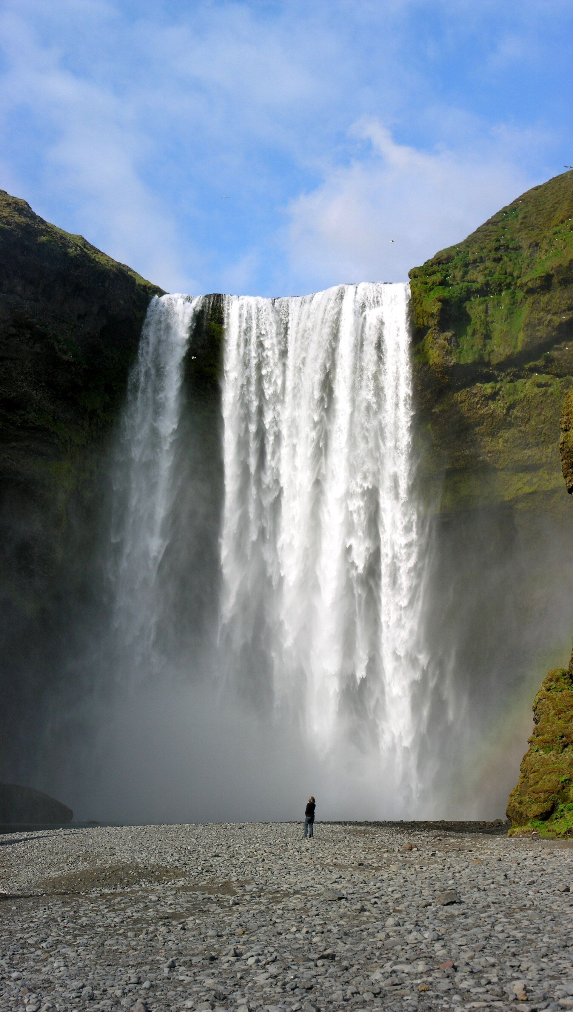
One of Iceland's biggest and best-loved waterfalls — a 60-metre curtain about 25 metres wide on the Skógá river, dropping over what was once a sea cliff and throwing up so much spray that a rainbow hangs in front of it on almost any sunny day.
What makes it marvelous
Skógafoss pours off the edge of Iceland's former coastline. The old sea cliffs still run for hundreds of kilometres parallel to the shore, and where the Skógá river — fed by meltwater from the Eyjafjallajökull and Mýrdalsjökull ice caps — reaches that line, it falls a clean 60 metres over a lip roughly 25 metres wide. The sea has since retreated some five kilometres, leaving the falls stranded inland at the head of a green valley. The sheer, even sheet of water and the constant fine spray make Skógafoss both one of Iceland's largest falls and one of its most reliably rainbow-crowned.
Why visit
You can walk right up to the base and feel the wind the falling water pushes ahead of it, or climb the steep staircase on the east side to look straight down the drop — where the Fimmvörðuháls trail begins its long climb between two glaciers. Few waterfalls this powerful are this easy to reach, sitting a few minutes' walk from the Ring Road.
Still deciding?
Skógafoss comes up most often against these — each one weighs cost, effort, season and crowds side by side.
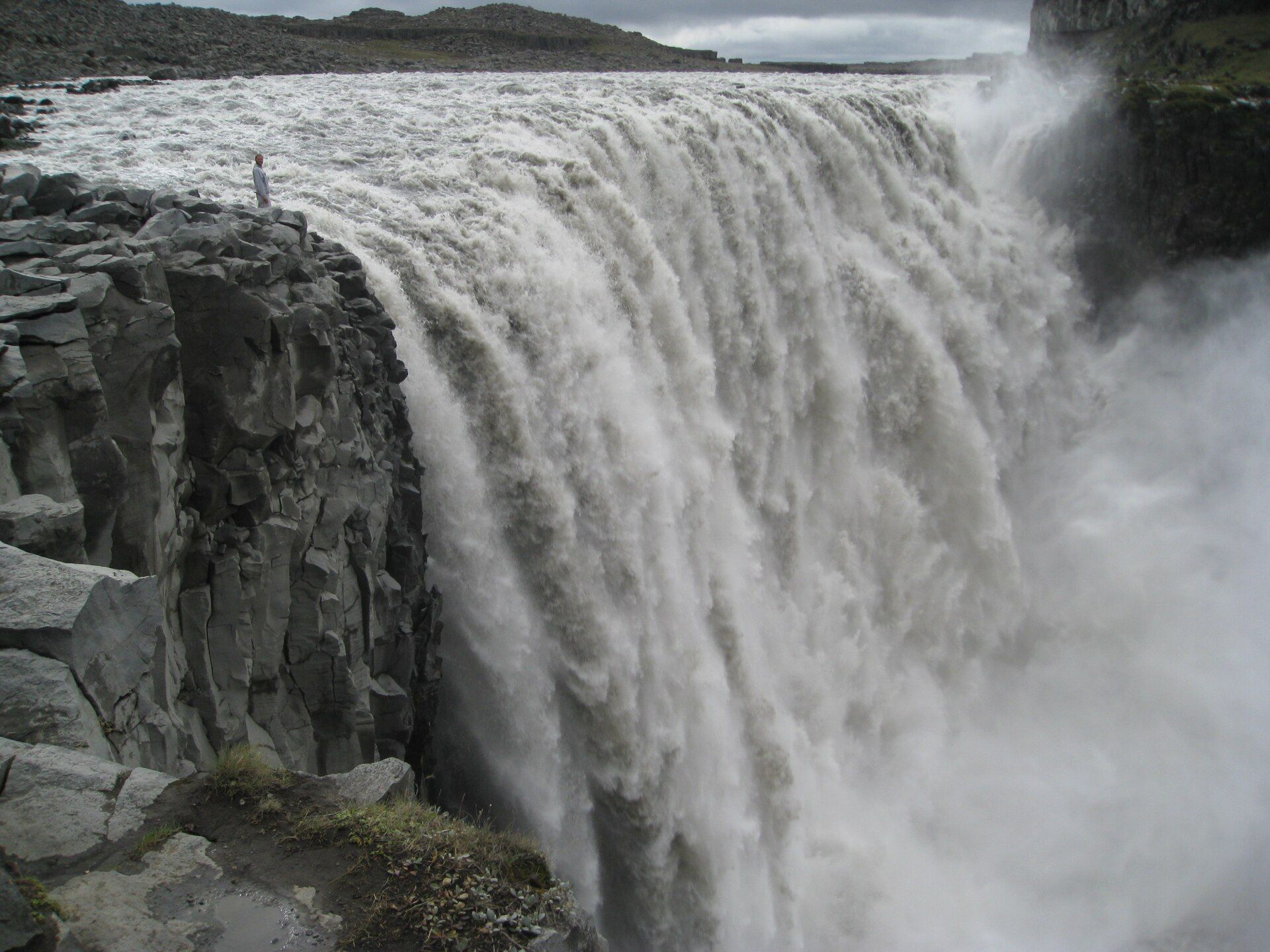
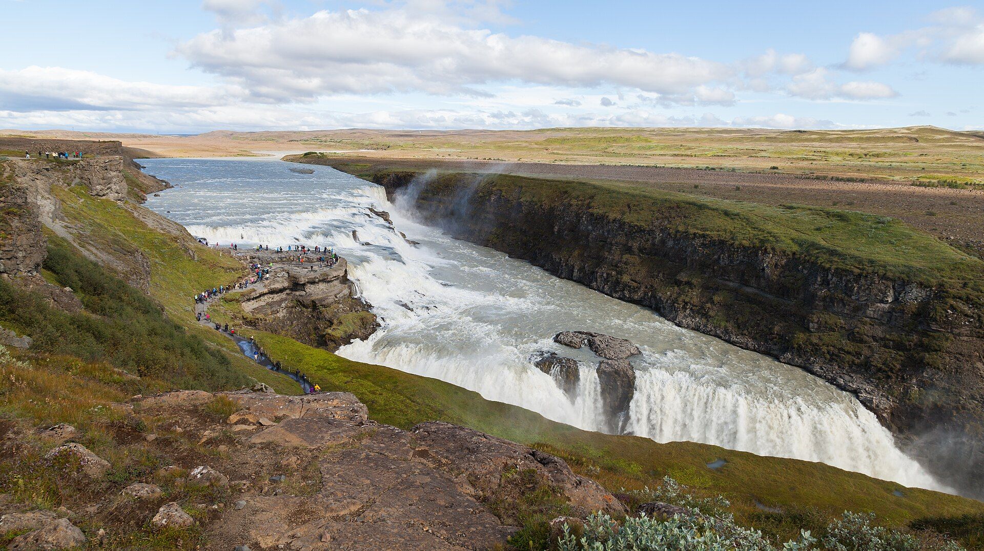
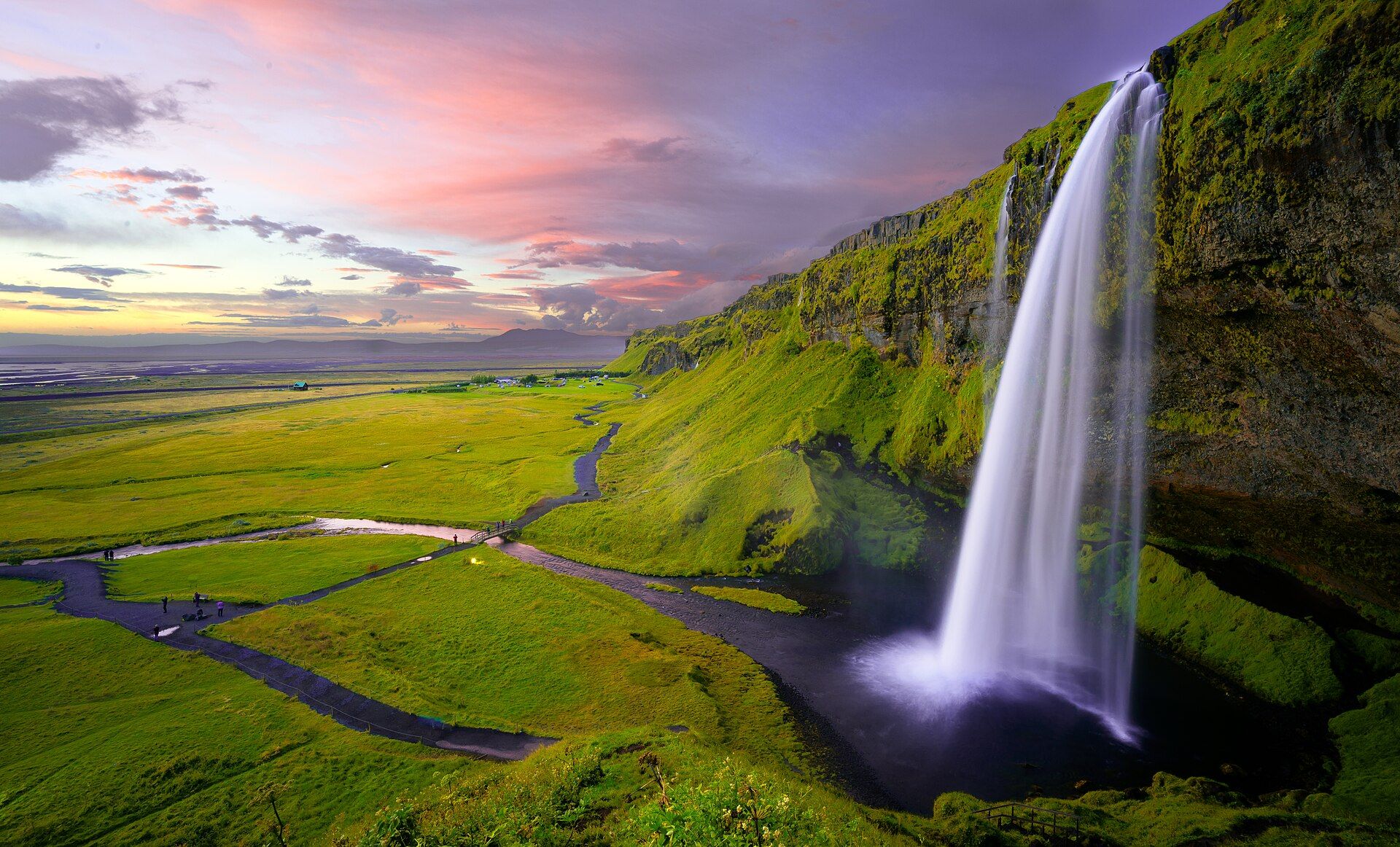
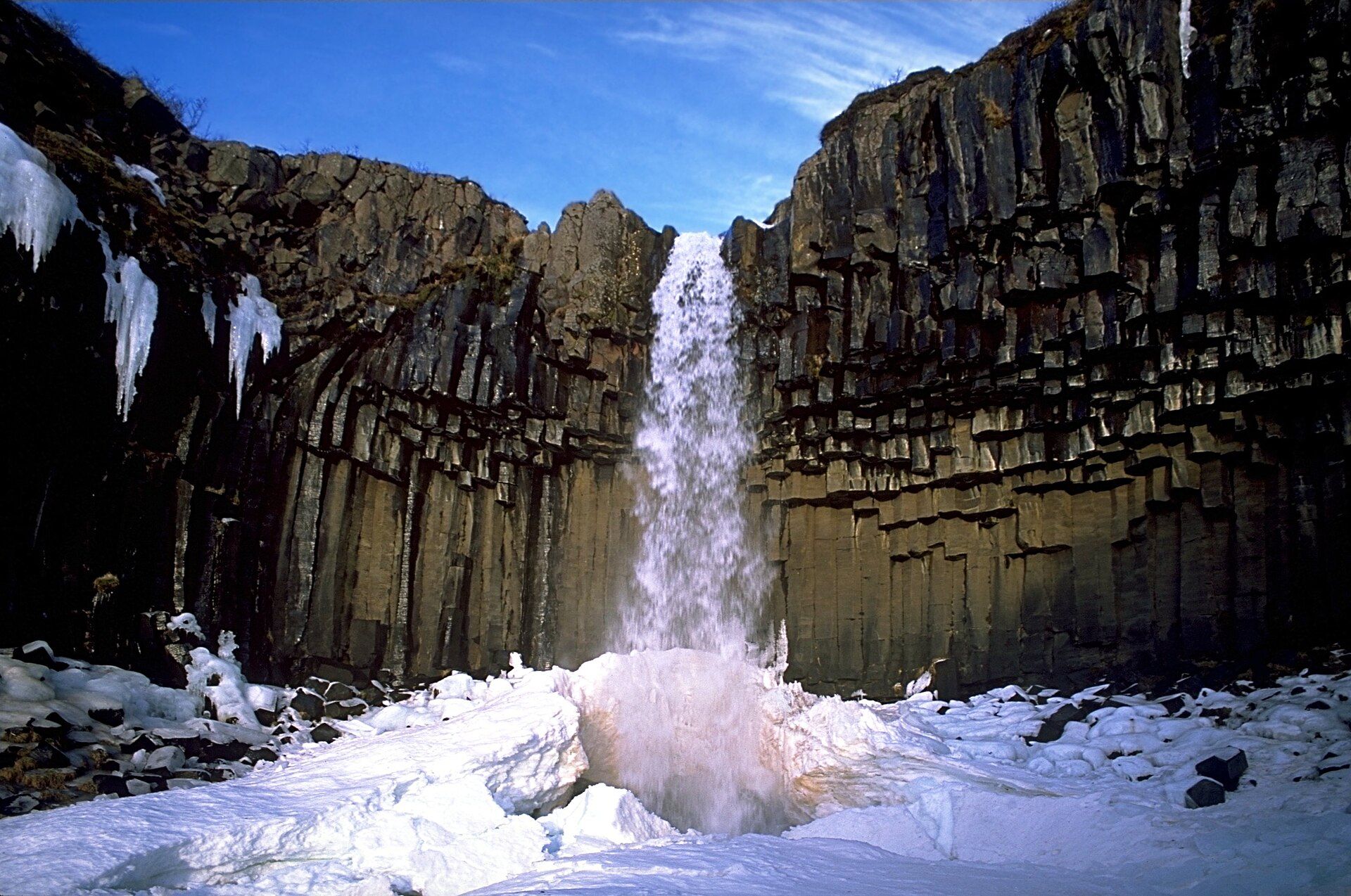
More views of Skógafoss
Additional photographs of the actual site — each freely licensed, with its photographer and licence credited.
What to know before you go
🗓️ Best time
Reachable year-round from the Ring Road, but May to September brings the greenest valley, safest footing, and the best chance of the famous rainbow; winter adds ice but the clifftop stairs can close and the path turns slick.
🧭 Getting there & access
Right beside Route 1 (the Ring Road) at Skógar, about 150 km southeast of Reykjavík. A large car park sits at the base; entry is free. A steel staircase on the east side climbs to a viewing platform at the top of the falls.
Good to know
- Bring full waterproofs — the spray drifts across the whole base area and soaks camera gear.
- Climb the east-side staircase for the top-down view and the start of the Fimmvörðuháls trail.
- Sun behind you, mid-morning or late afternoon, brings out the rainbow best.
Plan your visit
Easy🧭 Getting there
From Reykjavík (KEF), Iceland
- Drive the Ring Road (Route 1) southeast from Reykjavík about 150 km
- Turn in at Skógar; the falls are a short, signed walk from the car park
- A staircase on the east side climbs to the clifftop viewpoint
- Total travel
- About 2–2h30 by road from Reykjavík
- Time at site
- 1–2h, longer if you climb the stairs or start the Fimmvörðuháls hike
- Access
- On the Ring Road and open year-round with no fee. The clifftop staircase can be icy and is sometimes closed in winter — check conditions with local operators or safetravel.is in bad weather.
🎒 What to bring & consider
- Waterproof jacket and trousers; the spray reaches the base and lower viewpoints
- Shoes with grip for the wet path and the steep metal staircase
- Wind and warm layers year-round, even in summer
- A lens cloth — glass fogs and beads in the spray
👁️ What to expect
- Crowds
- One of the South Coast's busiest stops; early morning and evening are calmer.
- Conditions
- Flat, easy walk to the base; a long, steep staircase to the top.
- Facilities
- Car park and toilets; a cafe, hotel, and campsite at Skógar nearby.
- The view
- The full curtain with a rainbow needs sun behind you, mid-morning or late afternoon; put a person at the base for scale.
Times and requirements are approximate and change with season, weather, and local rules — confirm permits, fares, and schedules with operators before you travel.
Natural riches of the area
- The Skógá river, fed by the Eyjafjallajökull and Mýrdalsjökull ice caps
- The old coastal cliff line running along Iceland's south coast
- Salmon and trout in the Skógá river
- Sub-Arctic moss, birch scrub, and river ecosystems
Local food
- Kjötsúpa (lamb soup)
- Hearty Icelandic lamb-and-root-vegetable soup, warming against the coastal wind.
- Arctic char
- Cold-water fish from Icelandic lakes and rivers, often smoked or pan-fried.
- Skyr
- Thick Icelandic cultured dairy, eaten for centuries, served with berries or cream.
Skógafoss is the kind of waterfall that looks designed. The Skógá river gathers meltwater from the Eyjafjallajökull and Mýrdalsjökull ice caps and carries it south until it reaches the line of old sea cliffs that mark Iceland’s former coast — and there it drops a clean 60 metres over a lip about 25 metres wide. The sea has long since pulled back some five kilometres, so the falls now stand inland at the head of a green valley, a broad white sheet against dark rock with a permanent haze of spray hanging in front of it. On a sunny day that spray throws a rainbow, sometimes a double, across the base.
Part of its appeal is how close you can get. A short walk from the Ring Road brings you to the foot of the falls, near enough to feel the gusting wind the water drives ahead of itself; a steep staircase on the east side climbs to a platform at the very top, where the Skógá slides toward the edge and the long Fimmvörðuháls trail sets off across the pass between two glaciers. The cliff the river drops over is Iceland’s old sea cliff: the coastline once ran along its foot, and the flat green land now stretching several kilometres to the beach was left behind as the sea retreated.
Skógafoss: common questions
How do you get to Skógafoss?
From Reykjavík (KEF), Iceland: Drive the Ring Road (Route 1) southeast from Reykjavík about 150 km; Turn in at Skógar; the falls are a short, signed walk from the car park; A staircase on the east side climbs to the clifftop viewpoint. Total travel time: About 2–2h30 by road from Reykjavík.
When is the best time to visit Skógafoss?
Reachable year-round from the Ring Road, but May to September brings the greenest valley, safest footing, and the best chance of the famous rainbow; winter adds ice but the clifftop stairs can close and the path turns slick.
How long should you spend at Skógafoss?
1–2h, longer if you climb the stairs or start the Fimmvörðuháls hike. Total travel time: About 2–2h30 by road from Reykjavík.
What should you bring to Skógafoss?
Waterproof jacket and trousers; the spray reaches the base and lower viewpoints Shoes with grip for the wet path and the steep metal staircase Wind and warm layers year-round, even in summer A lens cloth — glass fogs and beads in the spray
Do you need a permit or guide for Skógafoss?
On the Ring Road and open year-round with no fee. The clifftop staircase can be icy and is sometimes closed in winter — check conditions with local operators or safetravel.is in bad weather.
Is Skógafoss crowded, and what are conditions like?
One of the South Coast's busiest stops; early morning and evening are calmer. Flat, easy walk to the base; a long, steep staircase to the top. Facilities: Car park and toilets; a cafe, hotel, and campsite at Skógar nearby.
Added Updated
More wonders to explore