Fjaðrárgljúfur
📍 Near Kirkjubæjarklaustur, South Iceland
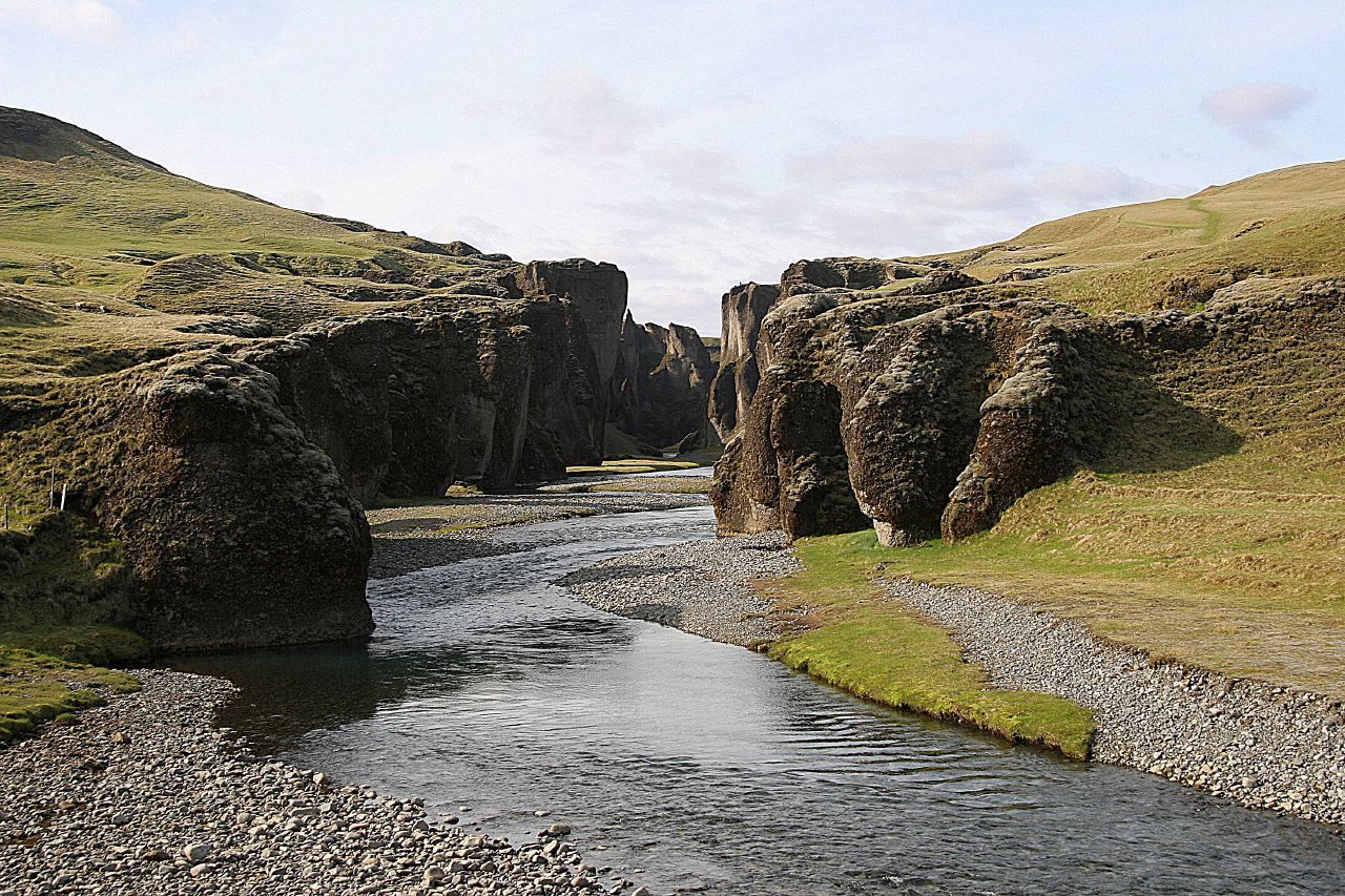
A serpentine canyon on Iceland's south coast, roughly two kilometres long and up to about 100 metres deep, its dark palagonite walls draped in green moss with the Fjaðrá river winding along the bottom — one of the country's most photographed gorges.
What makes it marvelous
Fjaðrárgljúfur was cut by the Fjaðrá river into soft palagonite bedrock, a rock born of glacial meltwater flooding over volcanic ash. As the meltwater surged at the end of the last Ice Age and the river kept working afterward, it carved a tight, twisting slot up to about 100 metres deep and some two kilometres long. The walls curve back and forth in sculpted buttresses, and in summer they turn deep green with a thick coat of moss — the soft, slow-growing kind that gives so much of Iceland's young volcanic ground its velvet look.
Why visit
A marked path runs along the canyon rim past a series of viewing platforms, each opening a new bend of the gorge with the river far below. The scale and the sinuous shape make it feel carved for effect, and the mossy walls glow in low sun. It sits just off the Ring Road, an easy pause between the waterfalls of the south coast and the glaciers further east.
Still deciding?
Fjaðrárgljúfur comes up most often against these — each one weighs cost, effort, season and crowds side by side.
More views of Fjaðrárgljúfur
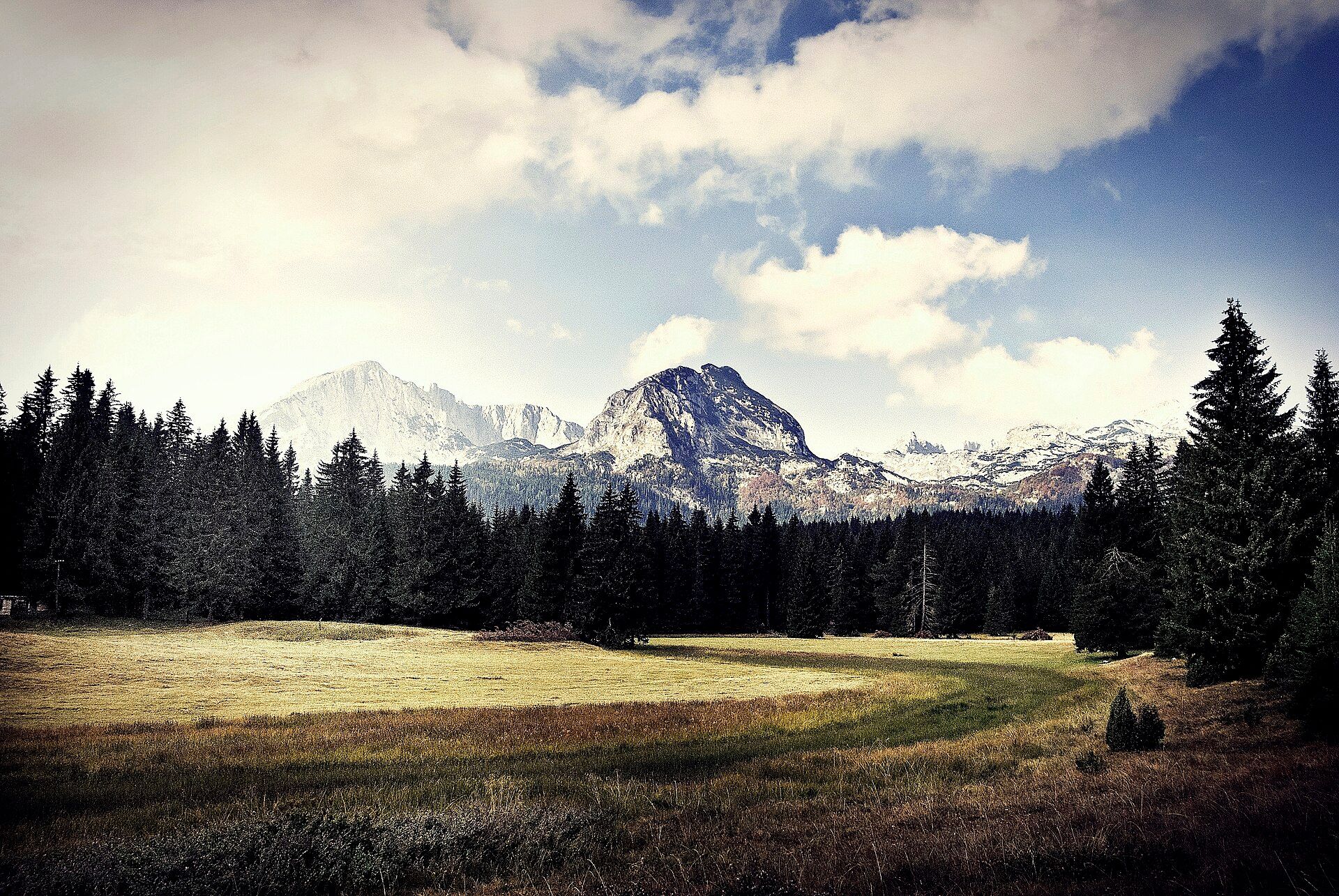
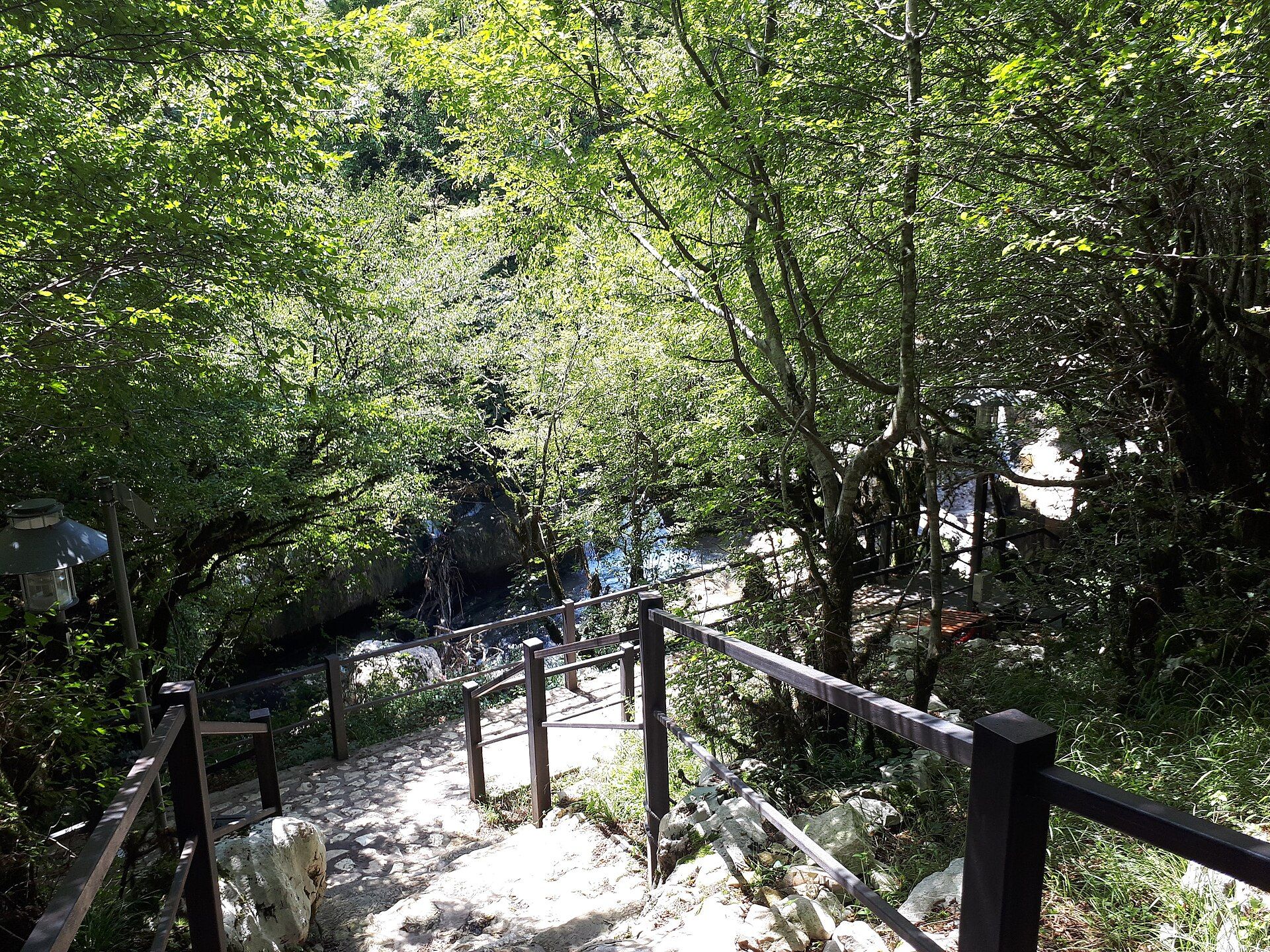
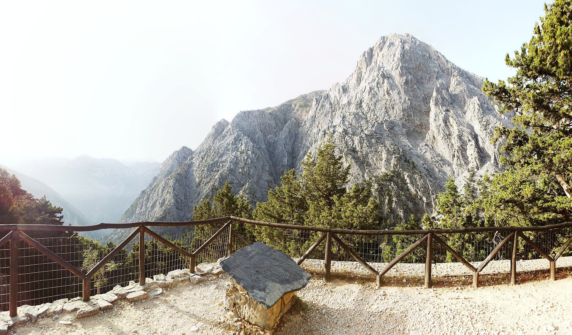
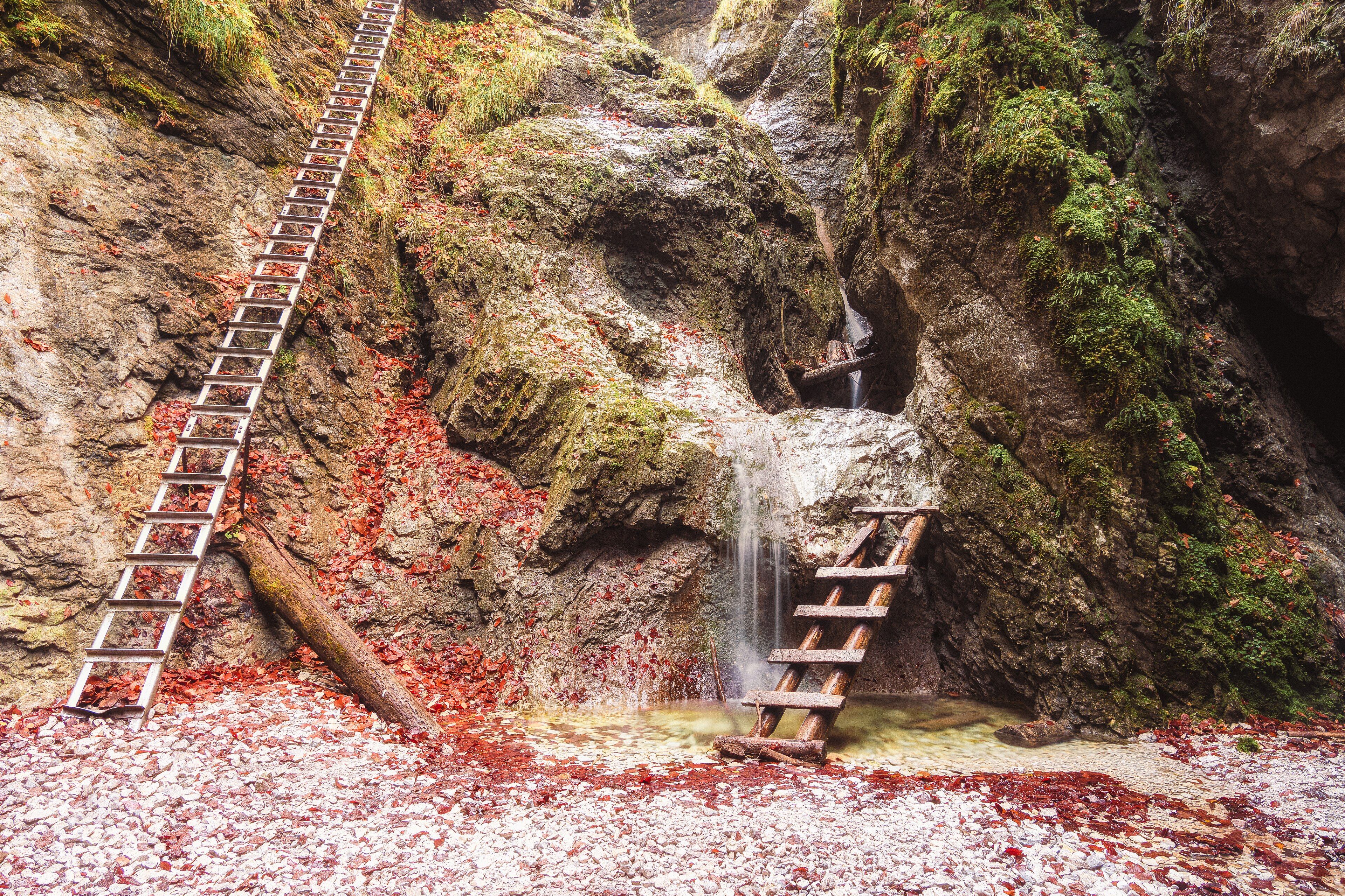
Additional photographs of the actual site — each freely licensed, with its photographer and licence credited.
What to know before you go
🗓️ Best time
Late spring through autumn, when the rim path is open and dry and the moss is at its greenest; the canyon is often closed in early spring and after heavy rain to protect the fragile vegetation from erosion.
🧭 Getting there & access
About 250 km southeast of Reykjavík, a few kilometres up a side road off the Ring Road near Kirkjubæjarklaustur. A car park sits at the canyon mouth; a rim trail with platforms follows the top. Access is free but subject to seasonal and weather closures.
Good to know
- Stay on the marked rim path and behind the ropes — the moss and edges are fragile and unstable.
- Check whether the canyon is open before you go; it closes at times to let the vegetation recover.
- Low morning or evening light rakes across the mossy walls and brings out the curves.
Plan your visit
Easy🧭 Getting there
From Reykjavík (KEF), Iceland
- Drive the Ring Road (Route 1) southeast from Reykjavík about 250 km
- Near Kirkjubæjarklaustur, turn onto the short side road to the canyon
- Walk the rim trail from the car park past the viewing platforms
- Total travel
- About 3.5–4h by road from Reykjavík, or a short hop from Kirkjubæjarklaustur
- Time at site
- 1–1.5h to walk the rim and back
- Access
- Free to enter, but the canyon is closed at times — typically in early spring and after heavy rain — to protect the vegetation. Check the current status with the Environment Agency (ust.is) or safetravel.is before visiting.
🎒 What to bring & consider
- Sturdy shoes with grip; the rim path is uneven and can be muddy
- Waterproofs and wind protection — south-coast weather turns fast
- Patience for the ropes and platforms; do not step onto the moss
- A telephoto or wide lens to work the bends of the gorge
👁️ What to expect
- Crowds
- Popular and can be busy midday in summer; quieter early and late.
- Conditions
- A short but uneven clifftop walk with drop-offs; keep back from the edge.
- Facilities
- Car park and toilets; full services at Kirkjubæjarklaustur nearby.
- The view
- A long bend of the canyon with the river below, shot in low, raking light when the moss glows greenest.
Times and requirements are approximate and change with season, weather, and local rules — confirm permits, fares, and schedules with operators before you travel.
Natural riches of the area
- The Fjaðrá river and its glacial-meltwater catchment
- Palagonite (móberg) bedrock formed from volcanic ash and ice
- Slow-growing Icelandic moss and heath on the canyon walls and rim
- Birdlife nesting on the ledges and along the river
Local food
- Arctic char
- Cold-water fish from the rivers and lakes of southern Iceland, often smoked.
- Lamb
- Free-ranging Icelandic lamb, grazed on highland pasture — the backbone of the local table.
- Skyr
- Thick Icelandic cultured dairy, centuries old, eaten plain or with berries.
Fjaðrárgljúfur is a canyon that seems to have been drawn rather than eroded. The Fjaðrá river cut it into palagonite — a soft, dark rock formed when glacial meltwater floods over volcanic ash — and over the long thaw at the end of the last Ice Age, and the slower work of the river since, it deepened into a tight, twisting slot up to about 100 metres deep and roughly two kilometres long. The walls fold back and forth in smooth buttresses, and through the summer they wear a thick coat of the slow-growing moss that softens so much of Iceland’s raw volcanic ground.
A rim path with viewing platforms follows the top of the gorge, each turn revealing another curve with the river threading the shadows below. That beauty has come at a cost: a burst of fame a few years ago brought crowds the fragile moss and narrow edges could not bear, and the site now closes at times — often in the thawing spring and after heavy rain — to let the ground recover. Visited with that care, on the marked trail and behind the ropes, it remains one of the most striking short walks on the south coast, an easy stop between the great waterfalls to the west and the glacier lagoons to the east.
Fjaðrárgljúfur: common questions
How do you get to Fjaðrárgljúfur?
From Reykjavík (KEF), Iceland: Drive the Ring Road (Route 1) southeast from Reykjavík about 250 km; Near Kirkjubæjarklaustur, turn onto the short side road to the canyon; Walk the rim trail from the car park past the viewing platforms. Total travel time: About 3.5–4h by road from Reykjavík, or a short hop from Kirkjubæjarklaustur.
When is the best time to visit Fjaðrárgljúfur?
Late spring through autumn, when the rim path is open and dry and the moss is at its greenest; the canyon is often closed in early spring and after heavy rain to protect the fragile vegetation from erosion.
How long should you spend at Fjaðrárgljúfur?
1–1.5h to walk the rim and back. Total travel time: About 3.5–4h by road from Reykjavík, or a short hop from Kirkjubæjarklaustur.
What should you bring to Fjaðrárgljúfur?
Sturdy shoes with grip; the rim path is uneven and can be muddy Waterproofs and wind protection — south-coast weather turns fast Patience for the ropes and platforms; do not step onto the moss A telephoto or wide lens to work the bends of the gorge
Do you need a permit or guide for Fjaðrárgljúfur?
Free to enter, but the canyon is closed at times — typically in early spring and after heavy rain — to protect the vegetation. Check the current status with the Environment Agency (ust.is) or safetravel.is before visiting.
Is Fjaðrárgljúfur crowded, and what are conditions like?
Popular and can be busy midday in summer; quieter early and late. A short but uneven clifftop walk with drop-offs; keep back from the edge. Facilities: Car park and toilets; full services at Kirkjubæjarklaustur nearby.
Added
More wonders to explore