The Lysefjord
📍 Rogaland, Southwestern Norway
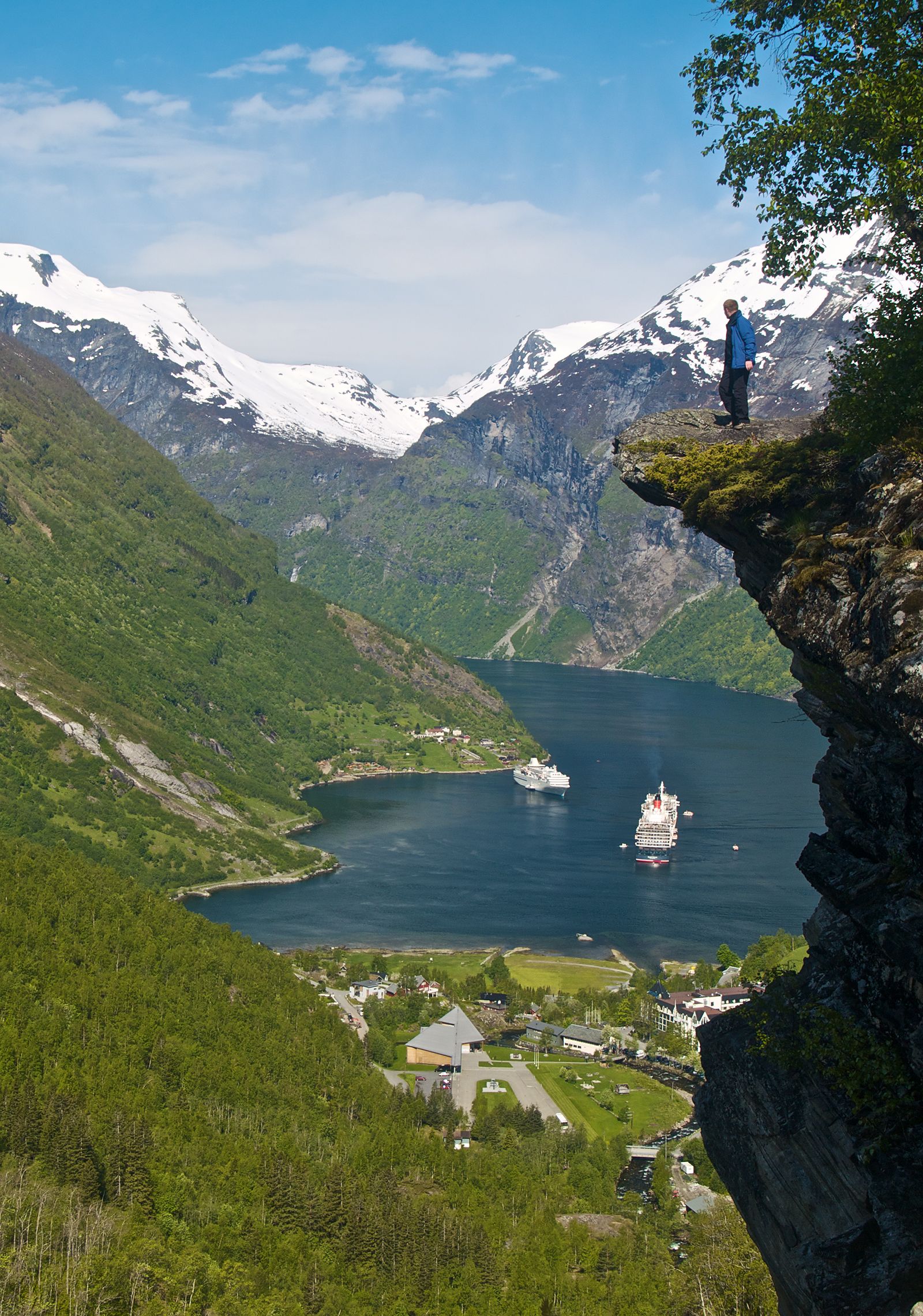
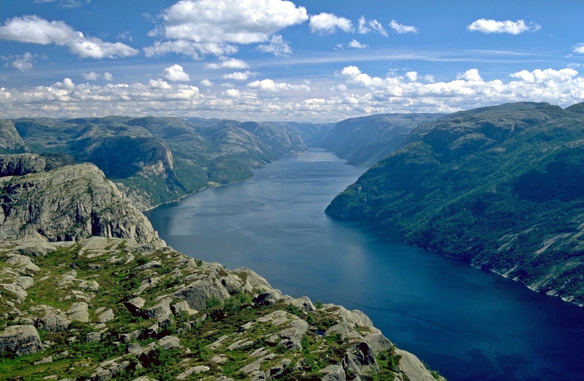
A 42-kilometre fjord of sheer, luminous granite near Stavanger, walled by two of the world's most famous clifftops — Preikestolen, the flat Pulpit Rock 604 metres above the water, and Kjerag, whose face plunges nearly a kilometre straight down.
What makes it marvelous
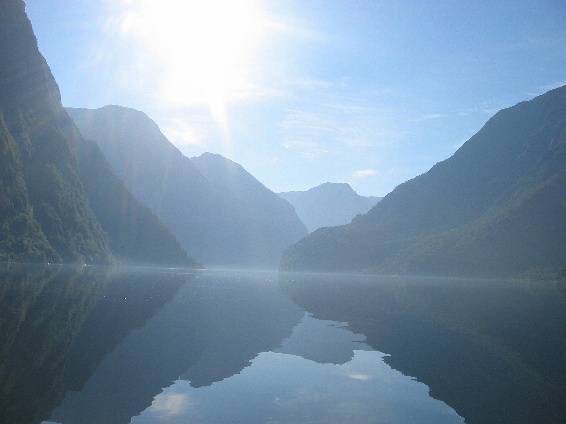
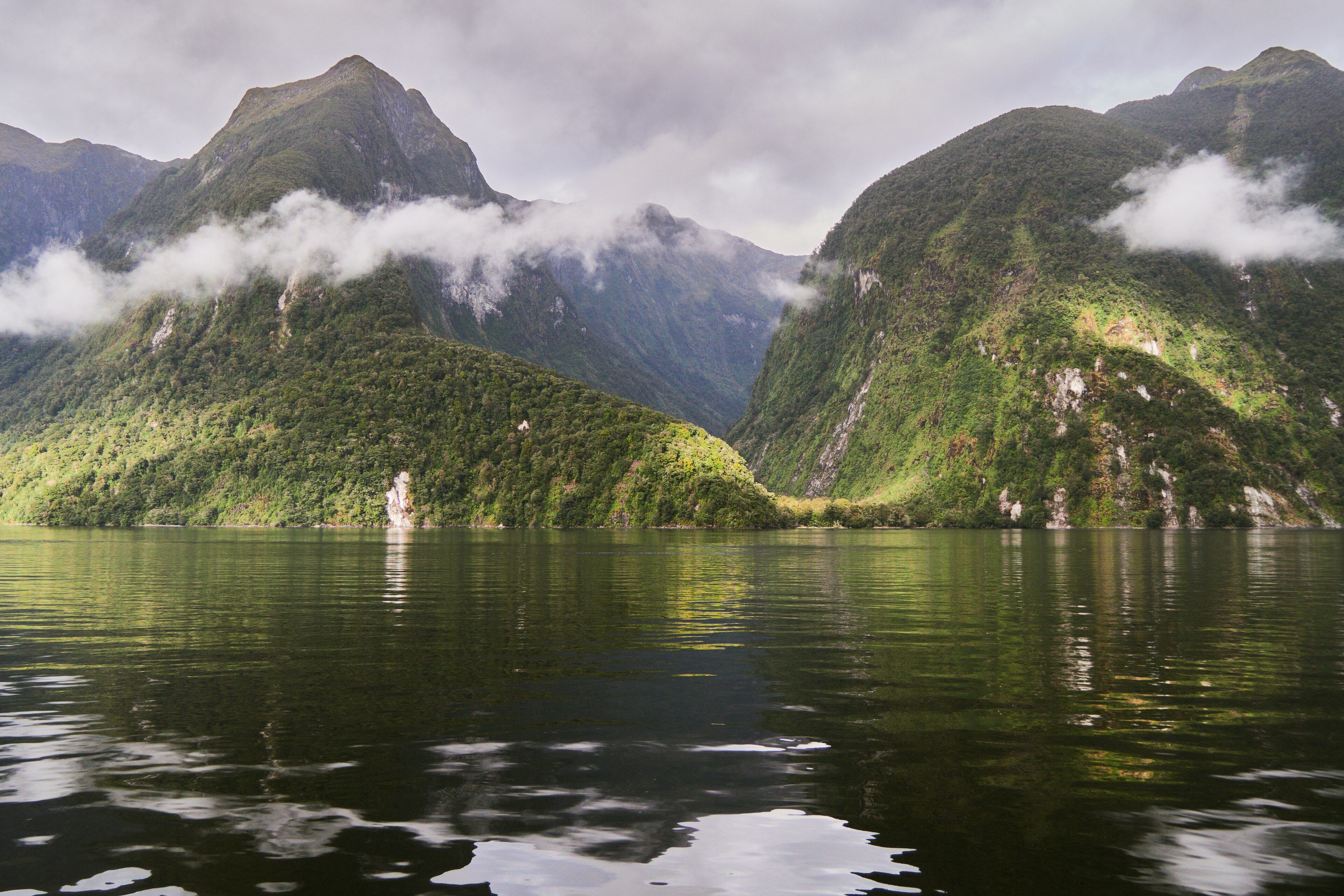
The Lysefjord — the 'light fjord', named for its pale, gleaming granite walls — cuts about 42 kilometres inland from near Stavanger, reaching depths of around 420 metres. It is short by Norwegian standards but perhaps the most dramatic of all, because two of the country's signature clifftops rise straight from its water. Preikestolen, the Pulpit Rock, is a near-flat platform of stone some 25 metres square hanging 604 metres above the fjord, one of the most photographed viewpoints on Earth. Deeper in, the mountain Kjerag drops a sheer 984 metres to the water, and wedged in a cleft near its top sits Kjeragbolten, a boulder suspended over the void that hikers step onto above a kilometre of air. Between them the fjord runs still and deep beneath polished walls, its light-coloured rock giving it a brightness found in few other fjords.
Why visit
The Lysefjord pairs two of the world's most iconic clifftop hikes — Preikestolen and Kjerag — with a serene, luminous fjord cruise beneath them, all within easy reach of Stavanger. Few places let you both sail a fjord and stand on its most famous edge in a single trip.
Still deciding?
The Lysefjord comes up most often against these — each one weighs cost, effort, season and crowds side by side.
What to know before you go
🗓️ Best time
Best June to September, when the trails to Preikestolen and Kjerag are clear of snow, boats run frequently, and the days are long; late spring and early autumn are quieter but the high routes may hold snow.
🧭 Getting there & access
The Lysefjord reaches inland east of Stavanger. Ferries and sightseeing boats run from Stavanger and Lauvvik into the fjord; roads and buses serve the Preikestolen and Kjerag trailheads at Preikestolhytta and Øygardstøl.
Good to know
- Start the Preikestolen or Kjerag hikes early to beat both crowds and afternoon weather.
- See the fjord from the water too — a cruise passes beneath the Pulpit Rock from below.
- Kjerag is the harder, higher route — check trail and weather conditions before setting out.
Plan your visit
Strenuous🧭 Getting there
From Stavanger (SVG), Norway
- Fly or ferry into Stavanger
- For Preikestolen, transfer to the Preikestolhytta trailhead — about 40 minutes by road and ferry
- For Kjerag, drive deeper into Lysefjorden to the Øygardstøl trailhead
- Or take a sightseeing cruise into the fjord from Stavanger
- Total travel
- A day for one hike or a cruise; two or more days to combine Preikestolen, Kjerag, and the fjord
- Time at site
- Preikestolen is roughly a 4-hour return hike; Kjerag is a harder 6–10 hour day
- Access
- The trails are only safe as marked hikes in the summer season; outside it they require winter skills and guiding. Check the official trail status before setting out, as weather can close the high routes at short notice.
🎒 What to bring & consider
- Sturdy hiking boots with grip — both trails cross bare, often wet rock
- Warm and waterproof layers, as clifftop weather changes fast and is cold in wind
- An early start and plenty of water and food for the long ascents
- A firm head for heights, especially at the Preikestolen edge and Kjeragbolten
👁️ What to expect
- Crowds
- Preikestolen is very busy midday in summer; go at dawn. Kjerag is quieter but harder. The fjord cruises are calmer than the trailheads.
- Conditions
- Both hikes are strenuous full-day climbs over rock; the fjord cruise itself is easy.
- Facilities
- Trailheads have parking, cafes, and lodges; the trails and clifftops have none — carry everything.
- The view
- The flat pulpit of Preikestolen jutting over the fjord far below, or a figure on Kjeragbolten wedged above the void.
Times and requirements are approximate and change with season, weather, and local rules — confirm permits, fares, and schedules with operators before you travel.
Natural riches of the area
- Deep, glacier-carved fjord waters of around 420 metres
- Sheer pale granite walls — the 'light' rock the fjord is named for
- The Preikestolen plateau and the Kjerag cliff and boulder
- Cliff waterfalls and cold marine waters rich in fish
Local food
- Fjord salmon and trout
- The deep cold waters of the Ryfylke fjords are prized for farmed salmon and trout.
- Rogaland lamb
- Sheep graze the coastal hills around Stavanger, giving tender lamb served across the region.
- Fresh shellfish
- Stavanger's harbour brings in crab, langoustine, and mussels from the surrounding coast.
The Lysefjord is the fjord you have almost certainly already seen. Only 42 kilometres long, it is modest in scale beside the great fjords of the north, but no other packs so much drama into its walls. Its name means the “light fjord”, for the pale, polished granite that gives its cliffs a luminous brightness, and from those cliffs rise two of the most famous viewpoints on Earth. Preikestolen — the Pulpit Rock — is a near-flat platform of stone hanging 604 metres straight above the water, one of the most photographed places in Norway.
Deeper into the fjord stands Kjerag, whose face drops a sheer 984 metres, and near its summit sits Kjeragbolten, a boulder jammed in a cleft over a kilometre of empty air, where hikers step out for the ultimate photograph. Between these edges the fjord lies still and deep beneath the bright walls, close enough to Stavanger that you can sail it and stand on its most famous cliff in a single day. It is the fjord of the clifftop — grand not for its length but for the places it lifts you to.
The Lysefjord: common questions
How do you get to The Lysefjord?
From Stavanger (SVG), Norway: Fly or ferry into Stavanger; For Preikestolen, transfer to the Preikestolhytta trailhead — about 40 minutes by road and ferry; For Kjerag, drive deeper into Lysefjorden to the Øygardstøl trailhead; Or take a sightseeing cruise into the fjord from Stavanger. Total travel time: A day for one hike or a cruise; two or more days to combine Preikestolen, Kjerag, and the fjord.
When is the best time to visit The Lysefjord?
Best June to September, when the trails to Preikestolen and Kjerag are clear of snow, boats run frequently, and the days are long; late spring and early autumn are quieter but the high routes may hold snow.
How long should you spend at The Lysefjord?
Preikestolen is roughly a 4-hour return hike; Kjerag is a harder 6–10 hour day. Total travel time: A day for one hike or a cruise; two or more days to combine Preikestolen, Kjerag, and the fjord.
What should you bring to The Lysefjord?
Sturdy hiking boots with grip — both trails cross bare, often wet rock Warm and waterproof layers, as clifftop weather changes fast and is cold in wind An early start and plenty of water and food for the long ascents A firm head for heights, especially at the Preikestolen edge and Kjeragbolten
Do you need a permit or guide for The Lysefjord?
The trails are only safe as marked hikes in the summer season; outside it they require winter skills and guiding. Check the official trail status before setting out, as weather can close the high routes at short notice.
Is The Lysefjord crowded, and what are conditions like?
Preikestolen is very busy midday in summer; go at dawn. Kjerag is quieter but harder. The fjord cruises are calmer than the trailheads. Both hikes are strenuous full-day climbs over rock; the fjord cruise itself is easy. Facilities: Trailheads have parking, cafes, and lodges; the trails and clifftops have none — carry everything.
Added
More wonders to explore