Jostedalsbreen
📍 Vestland, Western Norway
The largest glacier on mainland Europe — a high plateau ice cap that sends blue-tongued arms like Nigardsbreen and Briksdalsbreen spilling down into green valleys and turquoise meltwater lakes.
What makes it marvelous
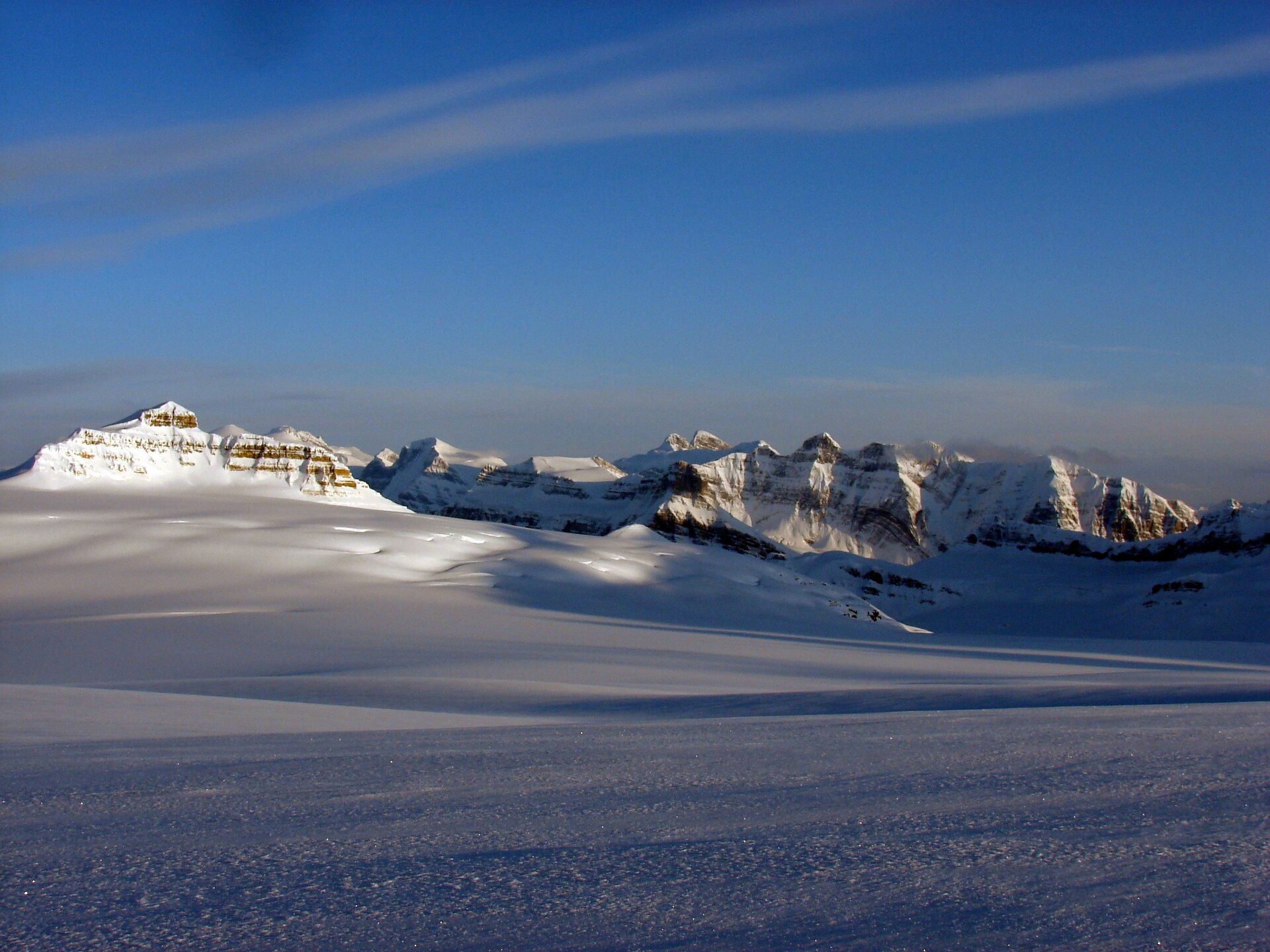
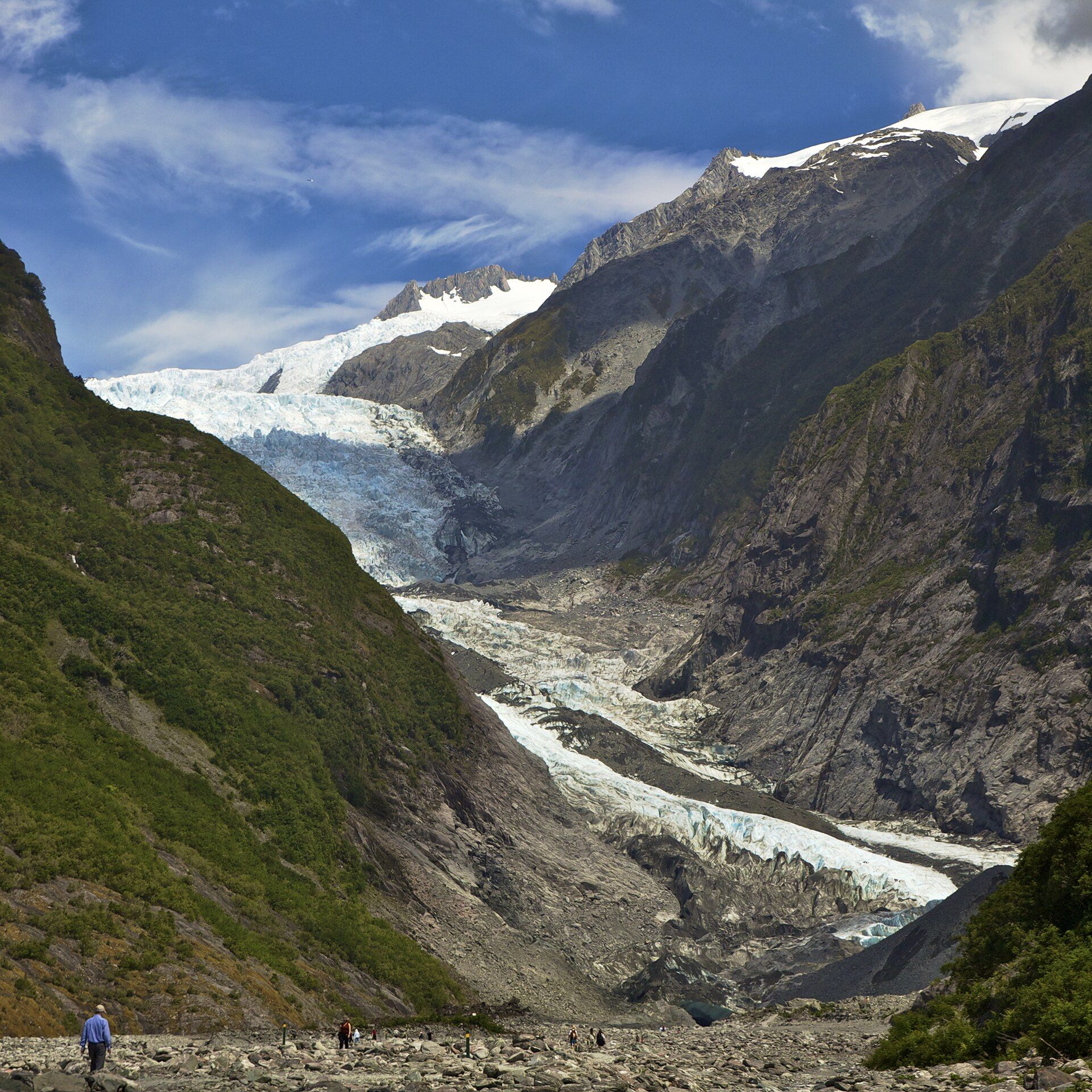
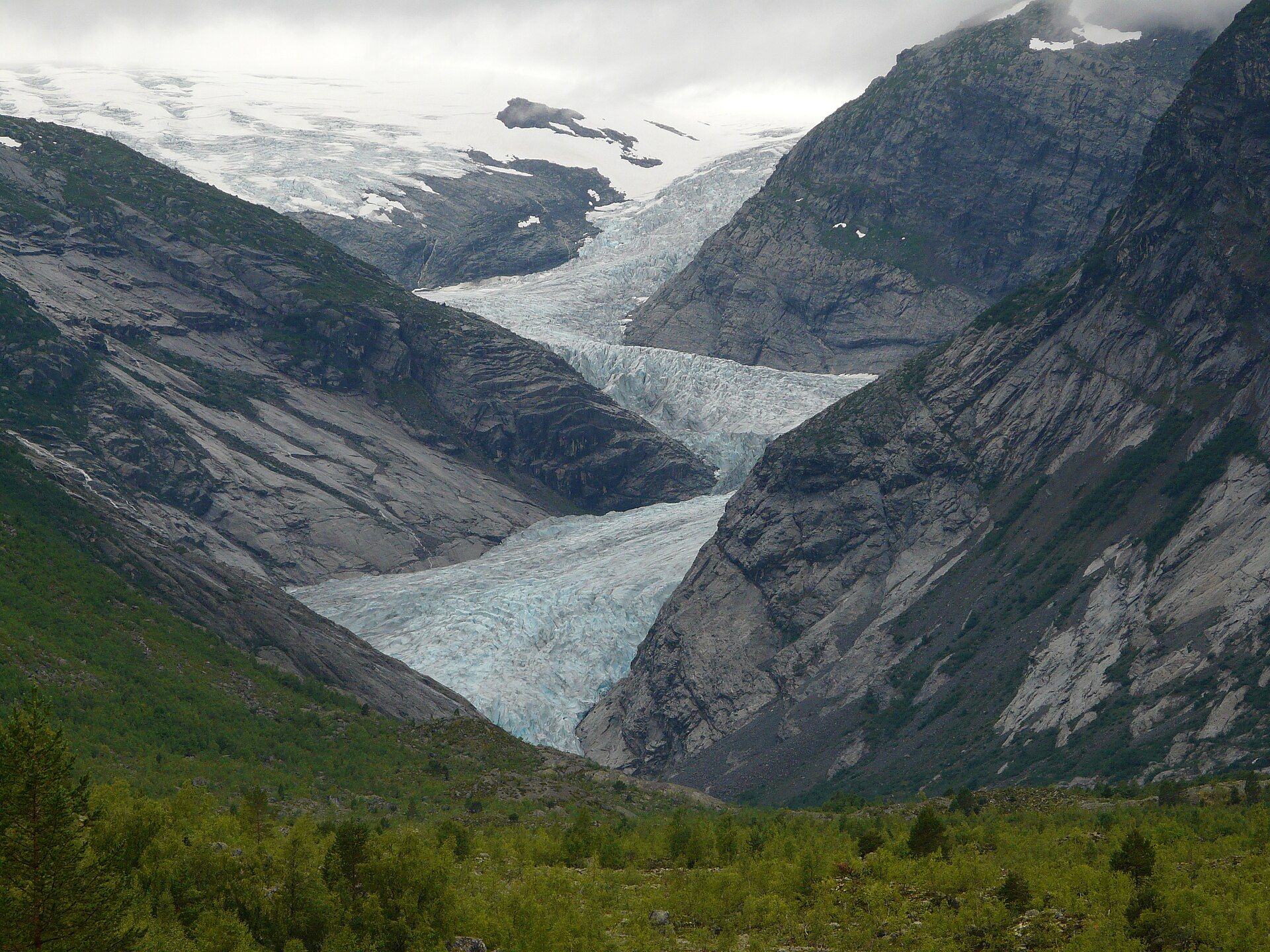
Jostedalsbreen is not a single valley glacier but an ice cap: a vast dome of ice sitting on a high plateau, in places several hundred metres thick, a surviving remnant of the ice that once buried Scandinavia. From that reservoir some fifty glacial arms flow outward and downhill, grinding rock to the fine 'glacial flour' that turns the meltwater rivers and lakes a milky turquoise. Like almost every glacier on Earth it is retreating, and its arms have visibly pulled back within living memory.
Why visit
Few places let you stand on an ice cap this size in a temperate country. Guided walks rope up onto the blue ice of arms like Nigardsbreen, while the short trail to Briksdalsbreen delivers a glacier tongue and waterfall without technical effort.
Still deciding?
Jostedalsbreen comes up most often against these — each one weighs cost, effort, season and crowds side by side.
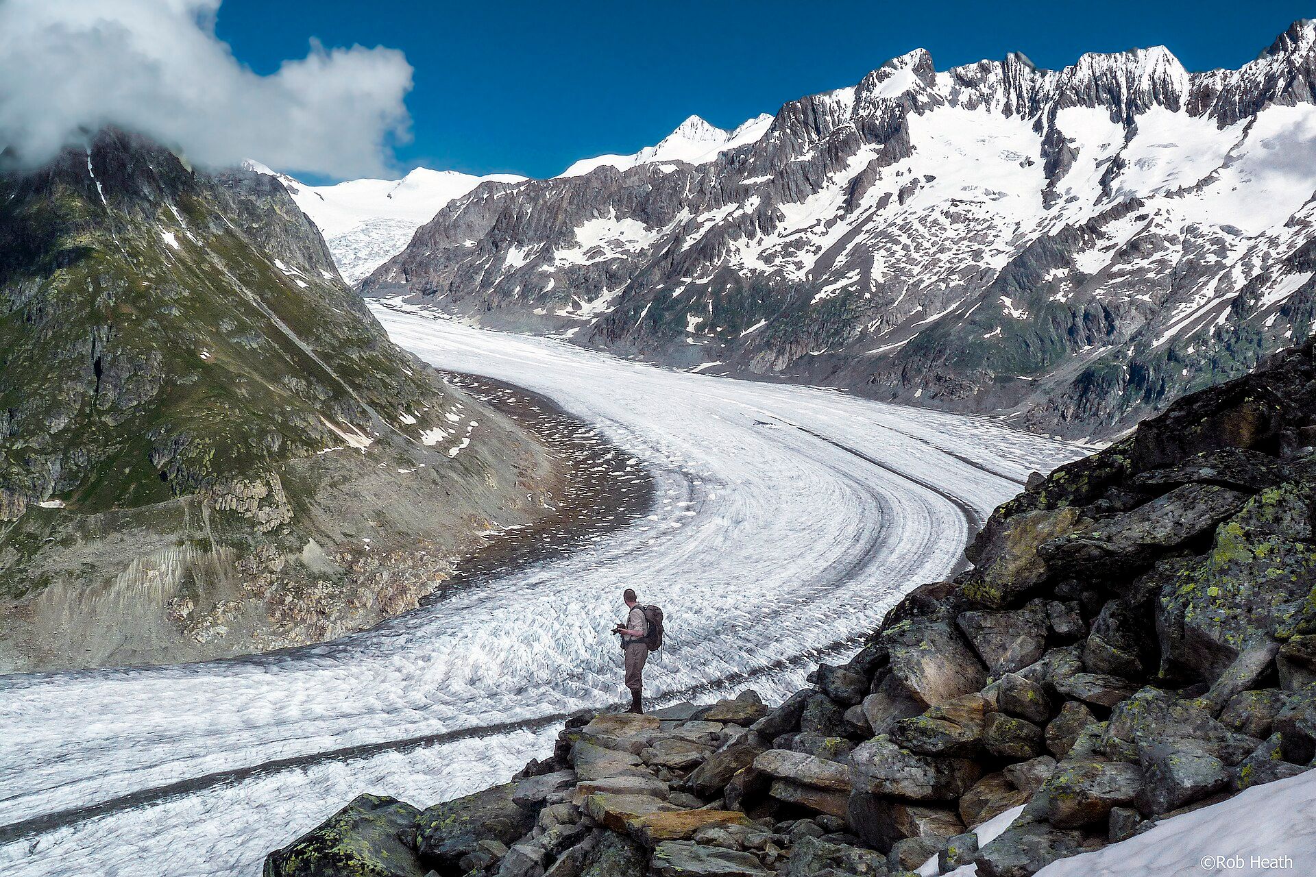
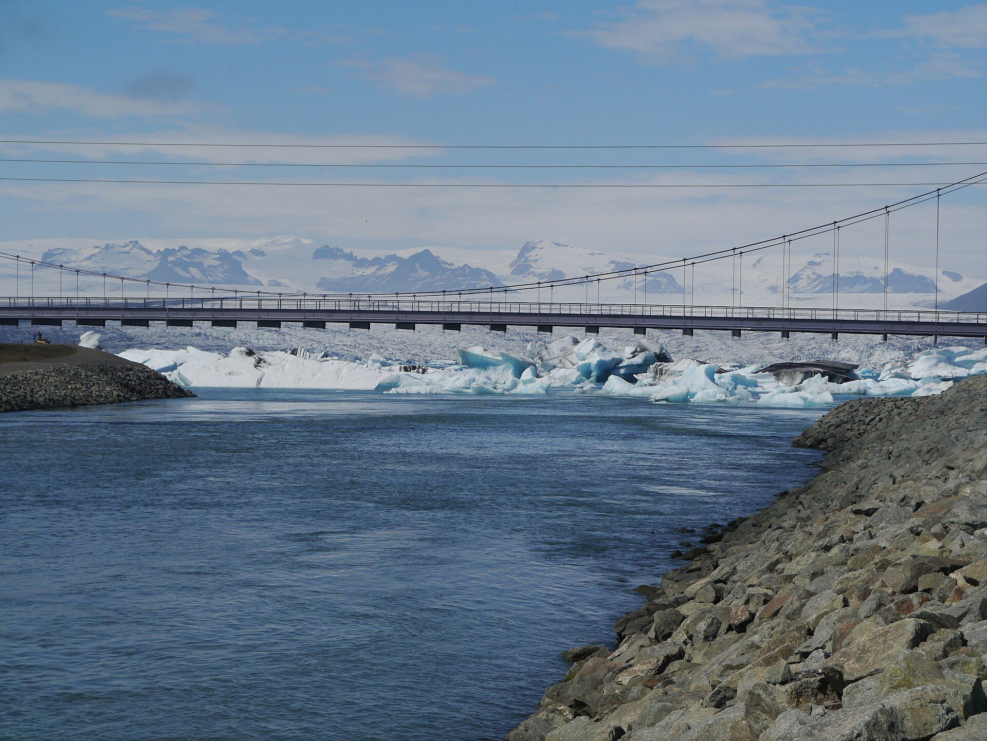
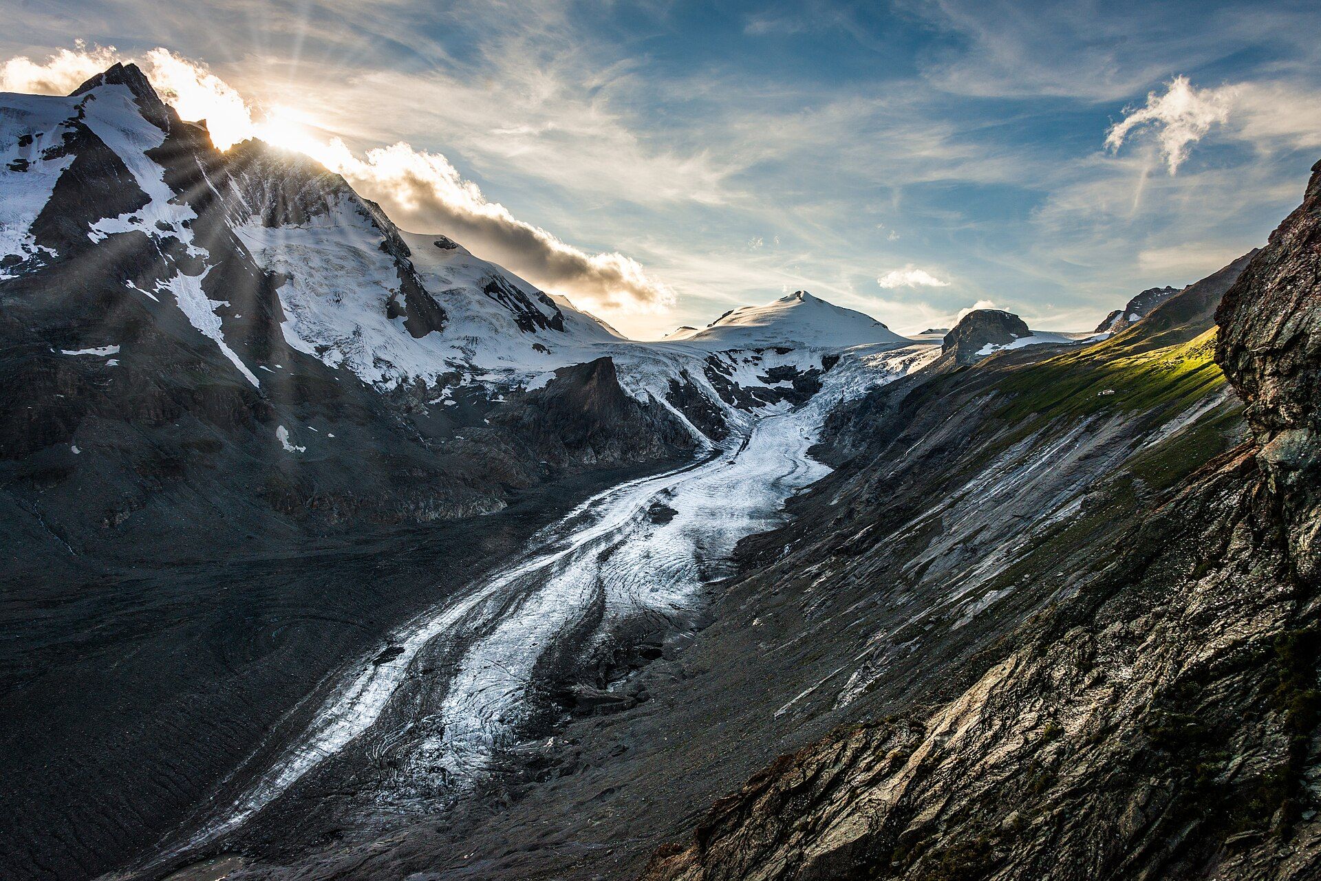
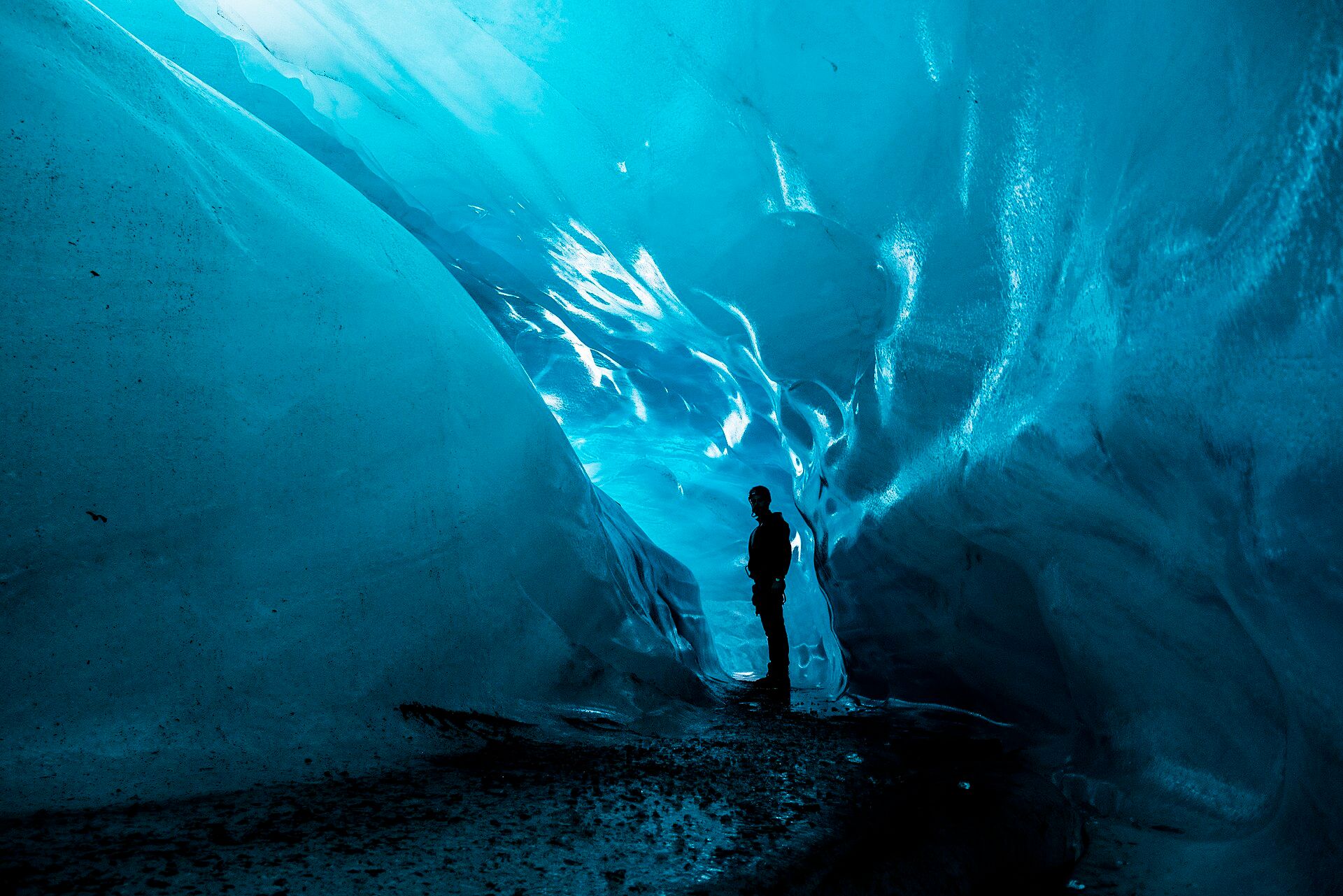
More views of Jostedalsbreen
Additional photographs of the actual site — each freely licensed, with its photographer and licence credited.
What to know before you go
🗓️ Best time
June to September, when the access roads and guided ice walks operate and the meltwater lakes are their most vivid; the glacier's current extent and safe routes change year to year and are set by local guides.
🧭 Getting there & access
Reached from Sogndal or the Nordfjord villages. Nigardsbreen sits at the head of the Jostedalen valley; Briksdalsbreen is above Olden. Setting foot on the ice requires a licensed guide — the surface is riven with hidden crevasses.
Good to know
- Book a guided ice walk in advance in peak summer; groups are capped and fill up.
- Wear stiff boots for the ice walks — guides supply crampons but not footwear.
- The boat across Nigardsbrevatnet shortcuts a rocky lakeshore walk to the ice front.
Plan your visit
Moderate🧭 Getting there
From Sogndal or Loen, Western Norway (via Bergen BGO or Alesund AES)
- Fly to Bergen or Alesund, then drive into the fjord country
- Bergen to Jostedalen (for Nigardsbreen) is roughly 4–5h with a ferry, depending on connections
- From the valley car parks a short walk or summer boat reaches the ice front
- Total travel
- A long half-day from the coast to the glacier arms
- Time at site
- A half to full day per arm; longer if you take a guided ice walk
- Access
- The national-park arms are open access to their viewpoints, but walking on the ice is guided-only for safety, and which routes are safe shifts as the glacier changes. Book through the local guiding companies, who publish current conditions each season.
🎒 What to bring & consider
- Warm layers and a windproof shell — it is cold at the ice front even in July
- Stiff, ankle-supporting boots if you plan to rope onto the ice
- Sunglasses and sun cream; glare off the ice burns even under cloud
- A card that works abroad, as Norway is close to cashless
👁️ What to expect
- Crowds
- Briksdalsbreen and Nigardsbreen draw summer coaches; the quieter arms need more effort to reach.
- Conditions
- Easy at valley and viewpoint level; genuinely alpine, cold and exposed once on the ice.
- Facilities
- Cafes and car parks at the popular arms; little to nothing at the remote ones.
- The view
- The blue ice front reflected in a glacial-flour lake — best in flat morning light before the wind ruffles the water.
Times and requirements are approximate and change with season, weather, and local rules — confirm permits, fares, and schedules with operators before you travel.
Natural riches of the area
- A plateau ice cap around 450 km2, one of Europe's great freshwater reserves
- Roughly fifty glacial arms and the rivers they feed
- Glacial-flour lakes and meltwater used for hydropower
- Alpine birch and pine valleys below the ice
Local food
- Norwegian brown cheese (brunost)
- Sweet, caramel-toned whey cheese from mountain dairy farms in the valleys below.
- Fresh trout and salmon
- From the cold glacial rivers and fjord waters of Sogn and Nordfjord.
- Cloudberries
- Amber mountain berries gathered on the high ground in late summer.
Jostedalsbreen is the largest glacier on the European mainland, and understanding it means picturing not a river of ice but a reservoir of it — a high, broad plateau buried under a dome of ice hundreds of metres thick, left over from the ice ages. From that cold heart, dozens of glacial arms flow down toward the fjords, and it is these tongues that visitors actually meet: Nigardsbreen at the end of the Jostedalen valley, Briksdalsbreen above Olden, and others reaching down into birch-lined valleys.
The signature of the glacier is colour. As the ice grinds over bedrock it mills out rock so fine it hangs suspended in the meltwater, and that ‘glacial flour’ scatters light into an unreal milky turquoise in the lakes below the ice. Stand at the front of an arm and you can watch the whole system at work — ice, meltwater, and the raw scoured rock it leaves behind. Like glaciers everywhere it is shrinking, and the pullback of these arms over recent decades is easy to see in old photographs displayed at the valley visitor centres.
Jostedalsbreen: common questions
How do you get to Jostedalsbreen?
From Sogndal or Loen, Western Norway (via Bergen BGO or Alesund AES): Fly to Bergen or Alesund, then drive into the fjord country; Bergen to Jostedalen (for Nigardsbreen) is roughly 4–5h with a ferry, depending on connections; From the valley car parks a short walk or summer boat reaches the ice front. Total travel time: A long half-day from the coast to the glacier arms.
When is the best time to visit Jostedalsbreen?
June to September, when the access roads and guided ice walks operate and the meltwater lakes are their most vivid; the glacier's current extent and safe routes change year to year and are set by local guides.
How long should you spend at Jostedalsbreen?
A half to full day per arm; longer if you take a guided ice walk. Total travel time: A long half-day from the coast to the glacier arms.
What should you bring to Jostedalsbreen?
Warm layers and a windproof shell — it is cold at the ice front even in July Stiff, ankle-supporting boots if you plan to rope onto the ice Sunglasses and sun cream; glare off the ice burns even under cloud A card that works abroad, as Norway is close to cashless
Do you need a permit or guide for Jostedalsbreen?
The national-park arms are open access to their viewpoints, but walking on the ice is guided-only for safety, and which routes are safe shifts as the glacier changes. Book through the local guiding companies, who publish current conditions each season.
Is Jostedalsbreen crowded, and what are conditions like?
Briksdalsbreen and Nigardsbreen draw summer coaches; the quieter arms need more effort to reach. Easy at valley and viewpoint level; genuinely alpine, cold and exposed once on the ice. Facilities: Cafes and car parks at the popular arms; little to nothing at the remote ones.
Added
More wonders to explore