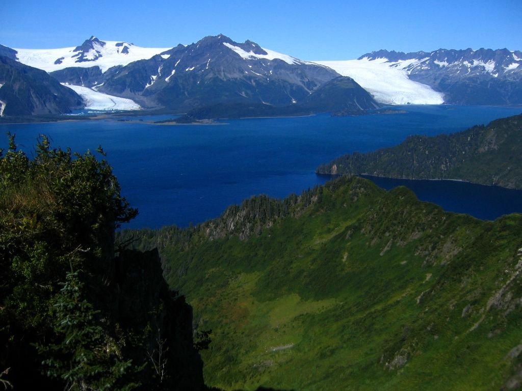
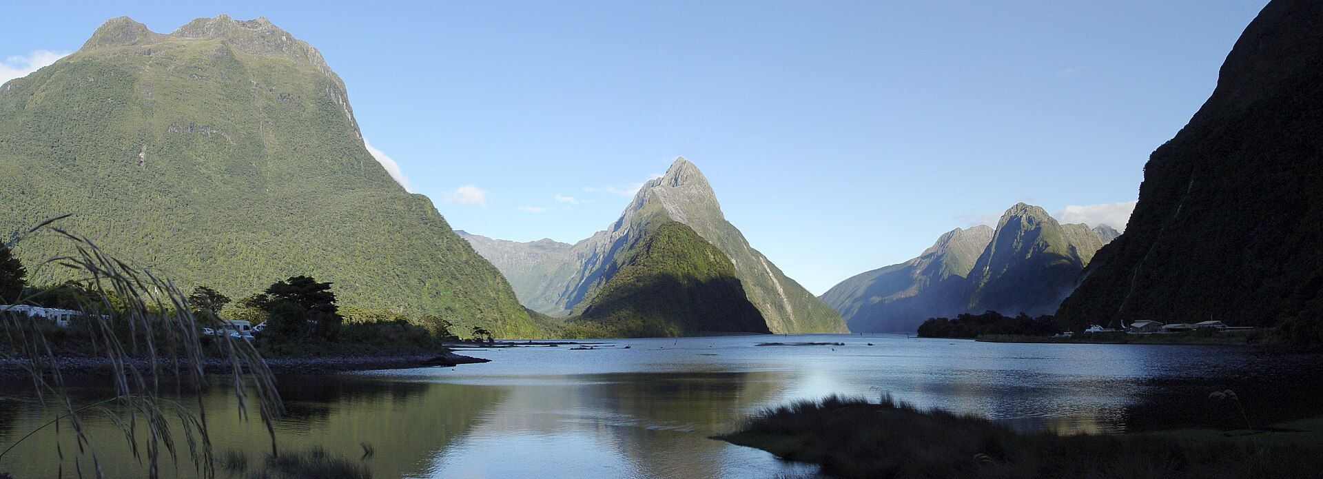
The Hardangerfjord
📍 Hardanger, Vestland, Western Norway
Norway's second-longest fjord and its orchard country — 179 kilometres of deep blue water reaching inland from the coast past Trolltunga, the Vøringsfossen falls, and the Folgefonna glacier, its gentler slopes white with apple and cherry blossom each spring.
What makes it marvelous
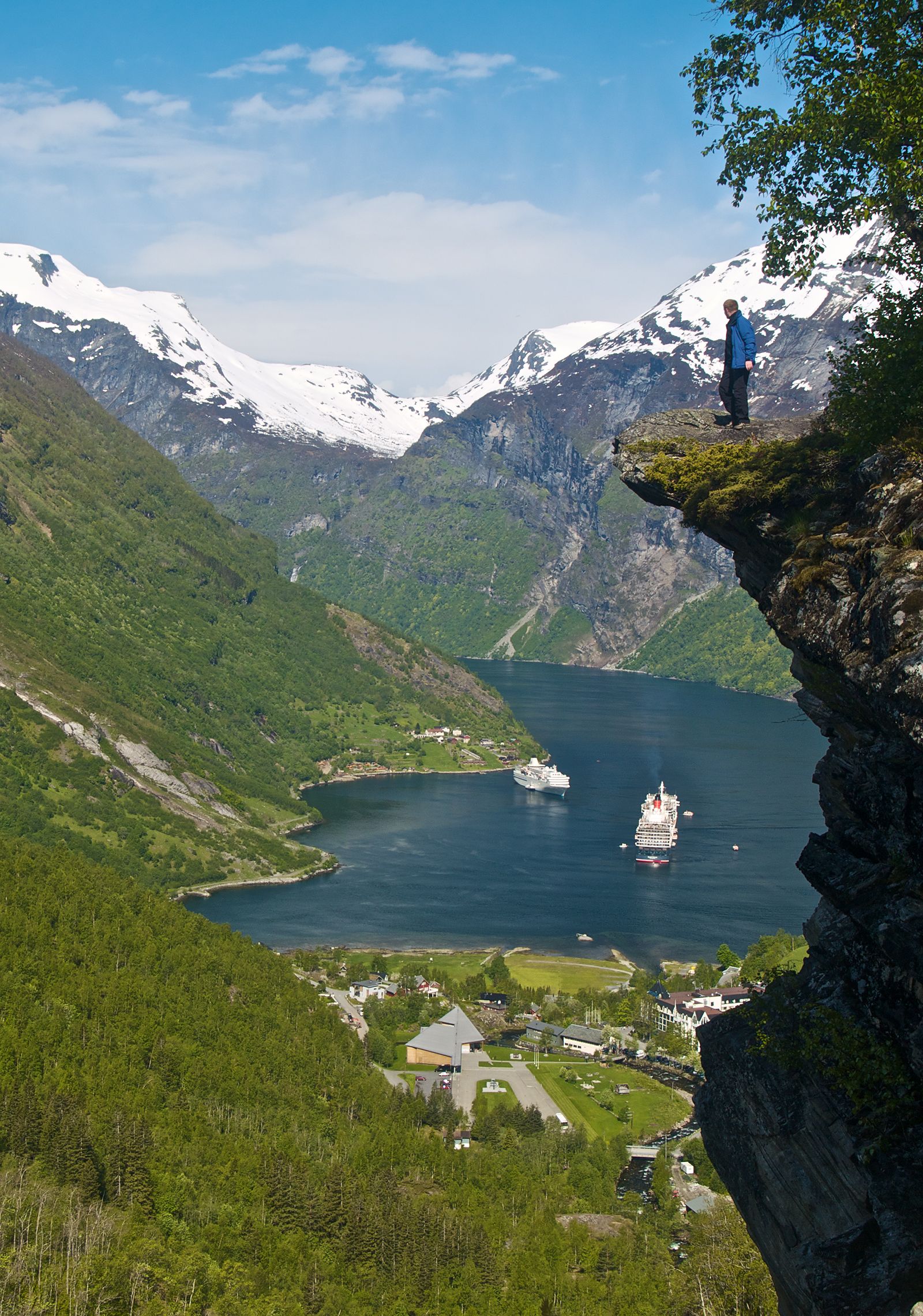
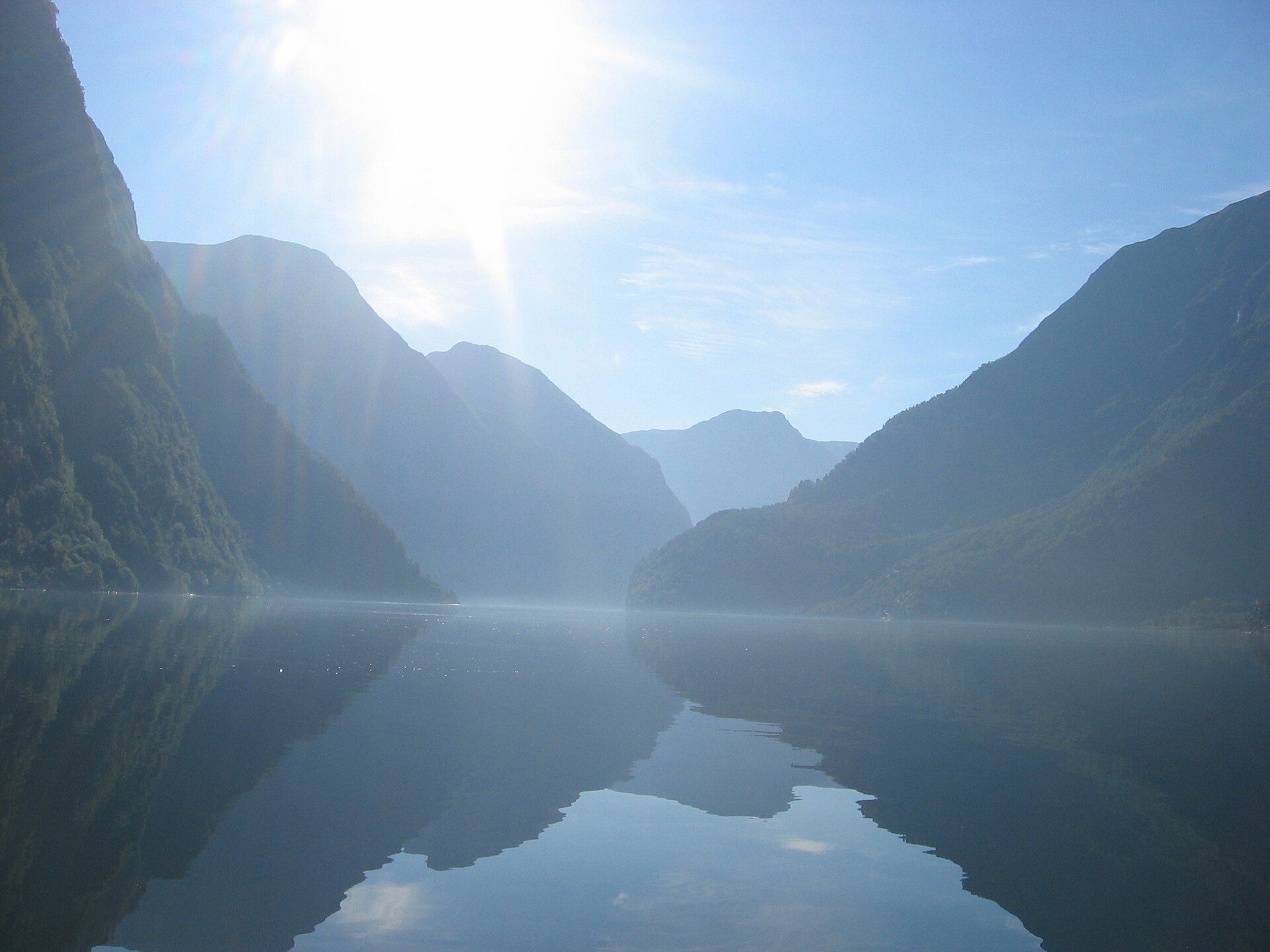
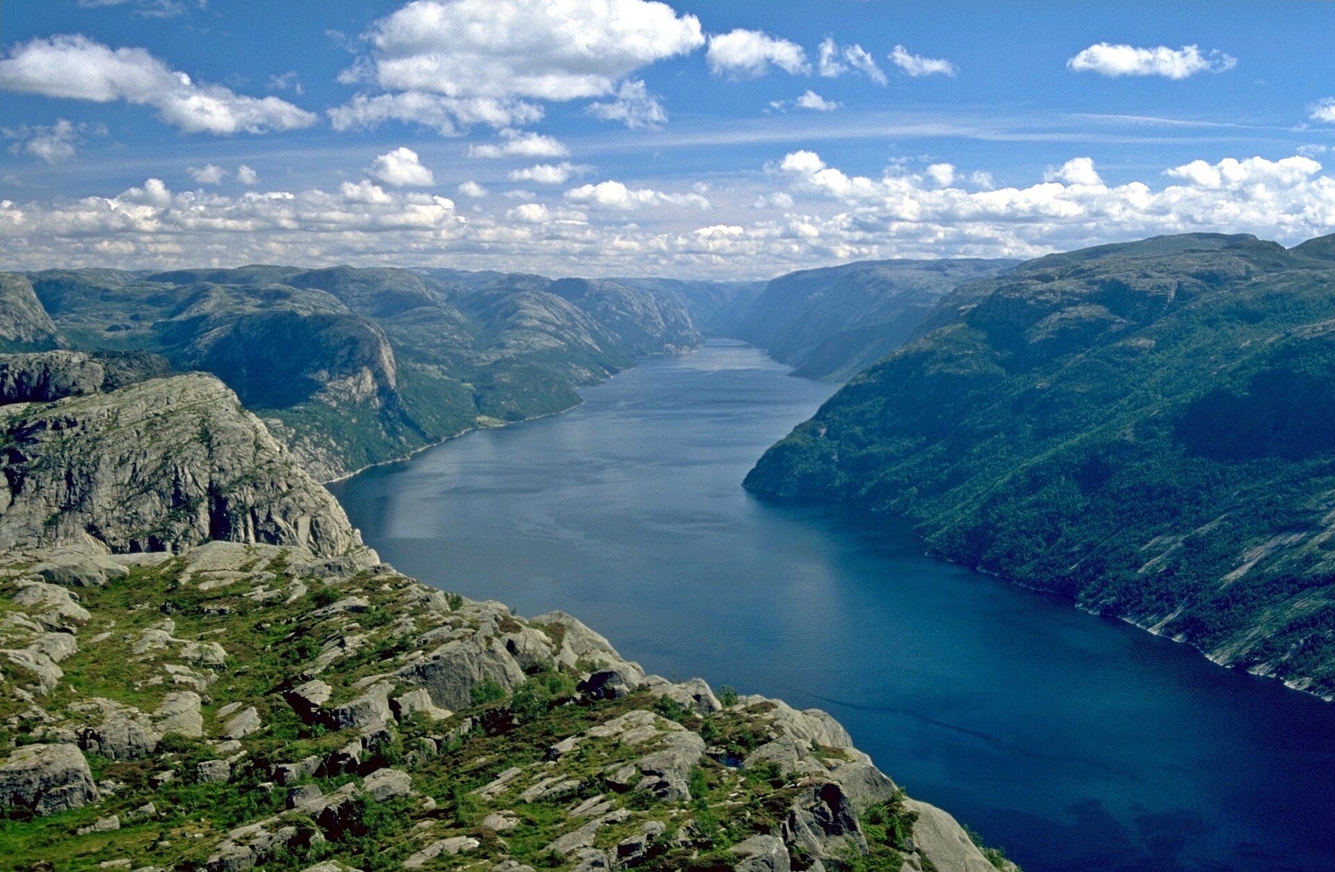
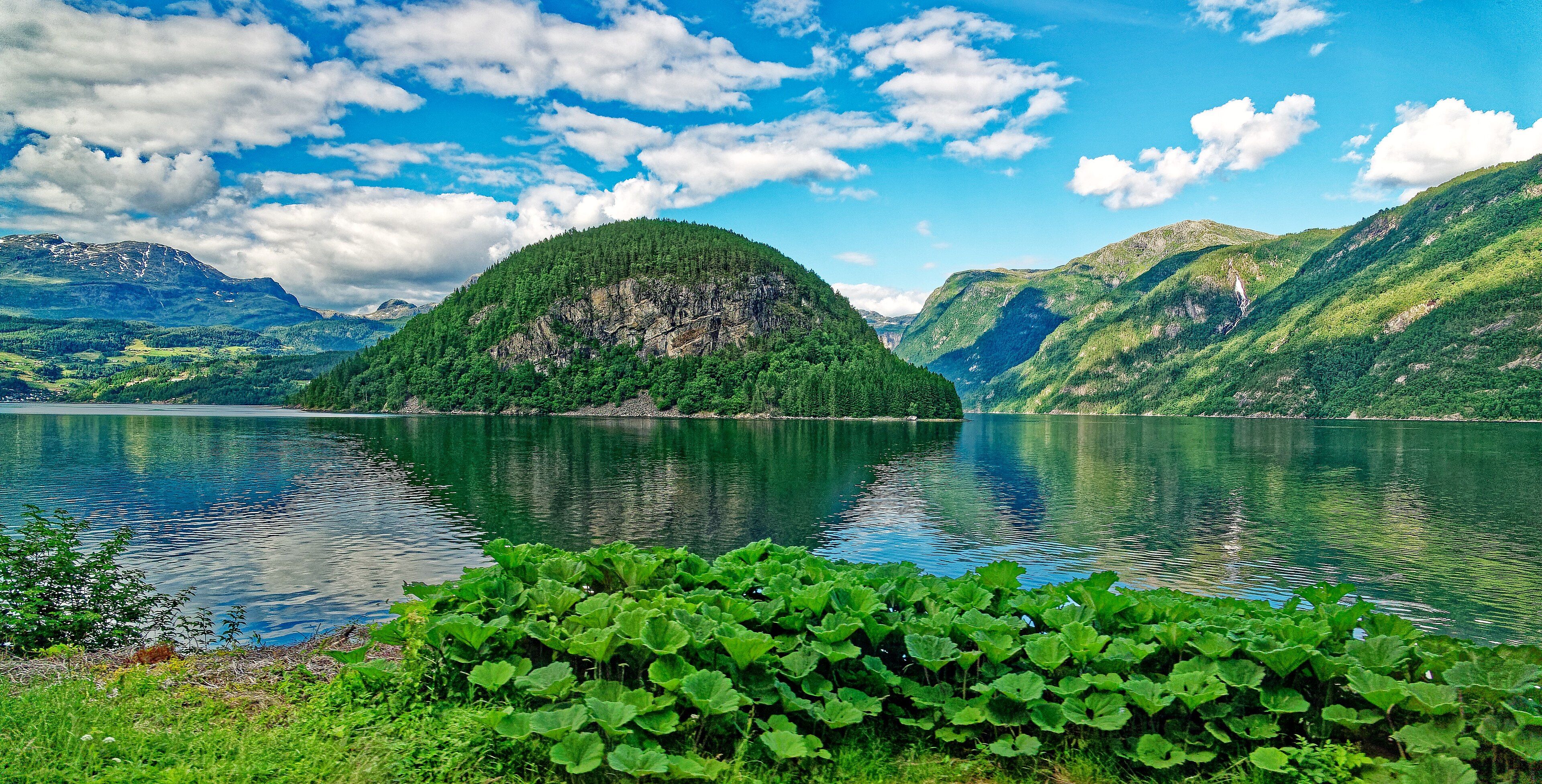
The Hardangerfjord runs about 179 kilometres inland from the Atlantic to the high plateaus of central Norway, the second-longest fjord in the country and among the longest on Earth, with water reaching depths of around 800 metres. Where the Sognefjord is all sheerness, the Hardanger is famous for a gentler beauty: its lower slopes are Norway's fruit garden, and in late spring tens of thousands of apple, cherry, plum, and pear trees blossom white and pink along the water beneath snow peaks. From its arms rise some of the country's greatest sights — the cantilevered rock tongue of Trolltunga high above Ringedalsvatnet, the tiered plunge of Vøringsfossen into the Måbødalen gorge, and the broad ice cap of Folgefonna. It is the fjord of orchards and waterfalls rather than of walls alone, and the softer for it.
Why visit
The Hardangerfjord gathers an extraordinary concentration of Norwegian icons — Trolltunga, Vøringsfossen, and the Folgefonna glacier — around a fjord famous for its spring blossom and autumn colour. It is close to Bergen and laced with ferries, giving an easier, greener counterpoint to the sheer fjords further north.
Still deciding?
The Hardangerfjord comes up most often against these — each one weighs cost, effort, season and crowds side by side.
What to know before you go
🗓️ Best time
Late April to May for the celebrated fruit blossom along the water; June to September for the fullest waterfalls, glacier trips, and the Trolltunga hike; autumn for orchard colour and quiet.
🧭 Getting there & access
The Hardangerfjord reaches inland south and east of Bergen. Roads and car ferries follow the fjord and its arms; buses run from Bergen to the fjord villages, and the Hardanger Bridge carries the main road across the water near Ulvik and Eidfjord.
Good to know
- Time a spring visit for the fruit blossom — usually late April into May, but it shifts with the season.
- The Trolltunga hike is long and strenuous — start early and check conditions before setting out.
- See Vøringsfossen from the viewing platforms at the head of the Måbødalen gorge near Eidfjord.
Plan your visit
Moderate🧭 Getting there
From Bergen (BGO), Norway
- From Bergen drive or take a bus southeast toward Eidfjord, Ulvik, or Odda
- Follow the fjord and its arms by road and car ferry
- Base in a fjord village for Trolltunga, Vøringsfossen, and Folgefonna day trips
- Total travel
- A long day trip from Bergen; two or more days to combine the fjord's icons
- Time at site
- A day for the fjord and one sight; a full separate day for the strenuous Trolltunga hike
- Access
- Reachable year-round by road and car ferry, with the widest range of services May–September. The Trolltunga trail is only safe and staffed in the summer season — outside it, check conditions and guiding requirements with local authorities.
🎒 What to bring & consider
- Warm and waterproof layers — fjord weather is cool and changeable even in summer
- Proper hiking boots and an early start for Trolltunga, which is a long, strenuous full-day walk
- A car or ferry plan, as the fjord's sights are spread across its arms
- Cash or card for the frequent car ferries
👁️ What to expect
- Crowds
- Trolltunga and Vøringsfossen are busy midday in summer; the orchards and outer villages stay calm, and blossom season is quieter than peak summer.
- Conditions
- Easy fjord travel by road and ferry; the Trolltunga hike is a serious, strenuous day out on exposed mountain ground.
- Facilities
- Fjord villages have hotels, cafes, ferry terminals, and trailhead services; the high trails have few facilities.
- The view
- Trolltunga's rock tongue jutting over Ringedalsvatnet, or orchard blossom in the foreground with the blue fjord and snow peaks behind.
Times and requirements are approximate and change with season, weather, and local rules — confirm permits, fares, and schedules with operators before you travel.
Natural riches of the area
- Deep glacier-carved fjord waters reaching around 800 metres
- The Folgefonna ice cap and meltwater feeding the fjord
- Fruit orchards on the sheltered lower slopes — Norway's fruit-growing heartland
- Cliff waterfalls including Vøringsfossen and the plateau above Trolltunga
Local food
- Hardanger apples and cider
- The fjord's orchards are Norway's most famous — apples, cherries, and plums pressed into award-winning cider.
- Fjord trout and salmon
- Cold, deep fjord waters raise prized trout and salmon, served cured or grilled.
- Rømmegrøt
- A traditional sour-cream porridge served with cured meats in the fjord valleys.
The Hardangerfjord is the softer face of Norway’s fjord country. Where the Sognefjord and Nærøyfjord overwhelm with sheerness, the Hardanger — 179 kilometres long and around 800 metres deep, the second-longest fjord in the country — is famous for its gentler slopes, and for what grows on them. This is Norway’s orchard heartland, and each spring tens of thousands of apple, cherry, and plum trees blossom white and pink along the water beneath the snow peaks, in one of the country’s best-loved seasonal sights.
Yet the drama is never far. From the fjord’s arms rise some of Norway’s greatest icons: Trolltunga, the thin rock tongue that juts out over Ringedalsvatnet hundreds of metres below; Vøringsfossen, tumbling in tiers into the Måbødalen gorge; and the broad white dome of the Folgefonna glacier. Close to Bergen and threaded with car ferries, the Hardangerfjord offers the whole of the fjord idea — depth, waterfalls, ice, and villages — wrapped around a valley of orchards rather than bare stone.
The Hardangerfjord: common questions
How do you get to The Hardangerfjord?
From Bergen (BGO), Norway: From Bergen drive or take a bus southeast toward Eidfjord, Ulvik, or Odda; Follow the fjord and its arms by road and car ferry; Base in a fjord village for Trolltunga, Vøringsfossen, and Folgefonna day trips. Total travel time: A long day trip from Bergen; two or more days to combine the fjord's icons.
When is the best time to visit The Hardangerfjord?
Late April to May for the celebrated fruit blossom along the water; June to September for the fullest waterfalls, glacier trips, and the Trolltunga hike; autumn for orchard colour and quiet.
How long should you spend at The Hardangerfjord?
A day for the fjord and one sight; a full separate day for the strenuous Trolltunga hike. Total travel time: A long day trip from Bergen; two or more days to combine the fjord's icons.
What should you bring to The Hardangerfjord?
Warm and waterproof layers — fjord weather is cool and changeable even in summer Proper hiking boots and an early start for Trolltunga, which is a long, strenuous full-day walk A car or ferry plan, as the fjord's sights are spread across its arms Cash or card for the frequent car ferries
Do you need a permit or guide for The Hardangerfjord?
Reachable year-round by road and car ferry, with the widest range of services May–September. The Trolltunga trail is only safe and staffed in the summer season — outside it, check conditions and guiding requirements with local authorities.
Is The Hardangerfjord crowded, and what are conditions like?
Trolltunga and Vøringsfossen are busy midday in summer; the orchards and outer villages stay calm, and blossom season is quieter than peak summer. Easy fjord travel by road and ferry; the Trolltunga hike is a serious, strenuous day out on exposed mountain ground. Facilities: Fjord villages have hotels, cafes, ferry terminals, and trailhead services; the high trails have few facilities.
Added
More wonders to explore