Geirangerfjord
📍 Sunnmøre, Western Norway
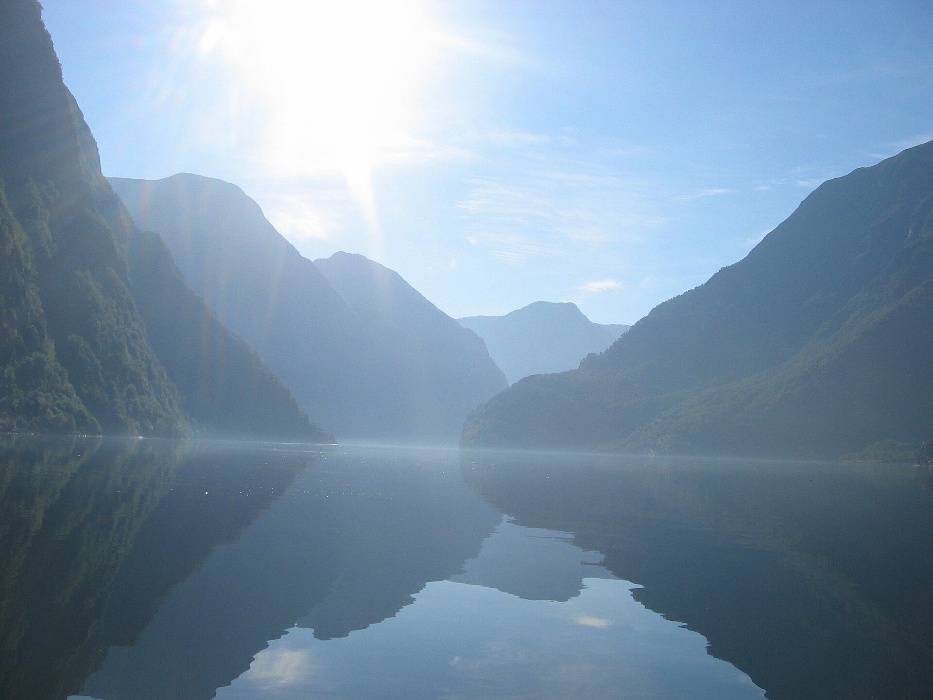
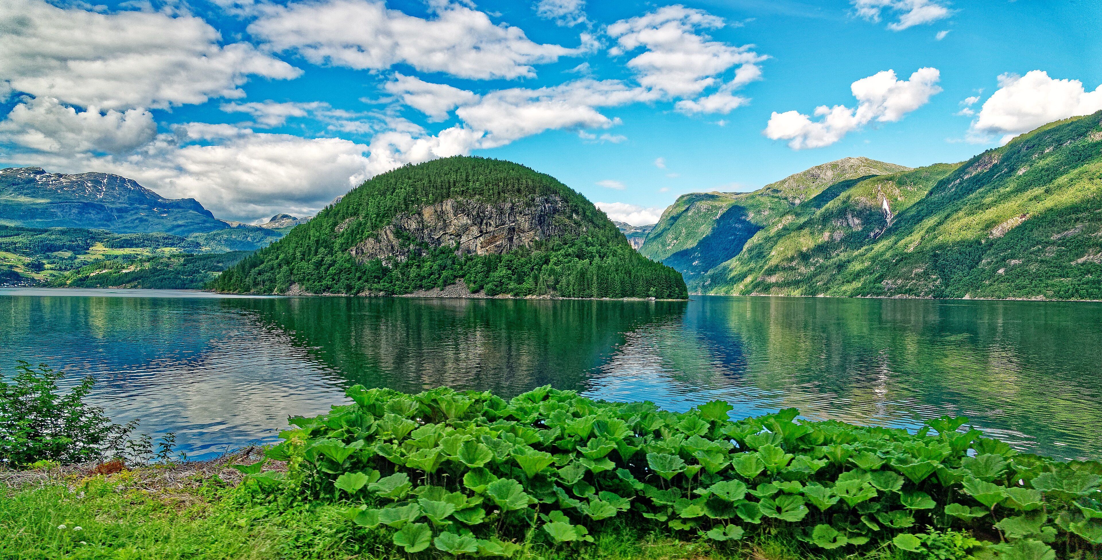
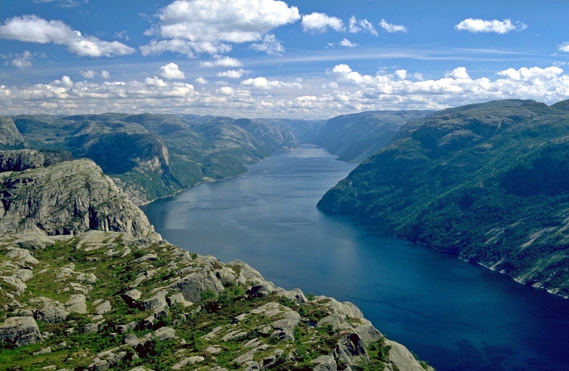
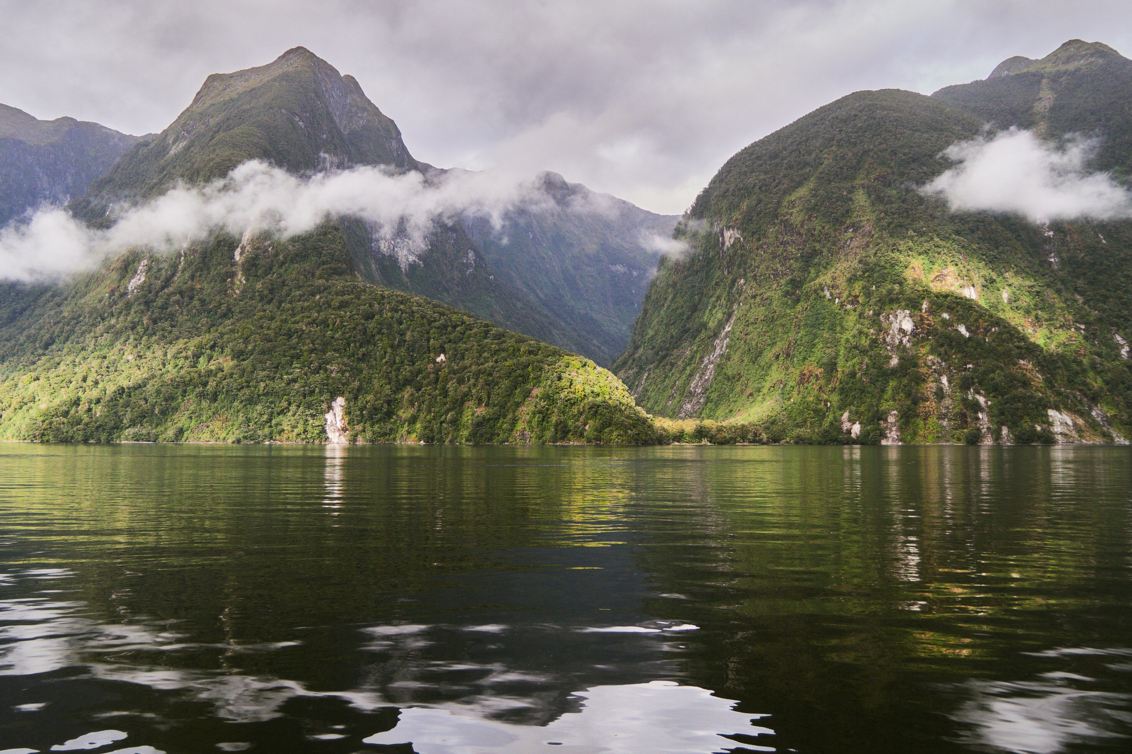
One of the world's most celebrated fjords — a deep, narrow arm of the sea winding between sheer 1,000-metre cliffs laced with waterfalls like the Seven Sisters, with abandoned farms clinging to impossible ledges.
What makes it marvelous
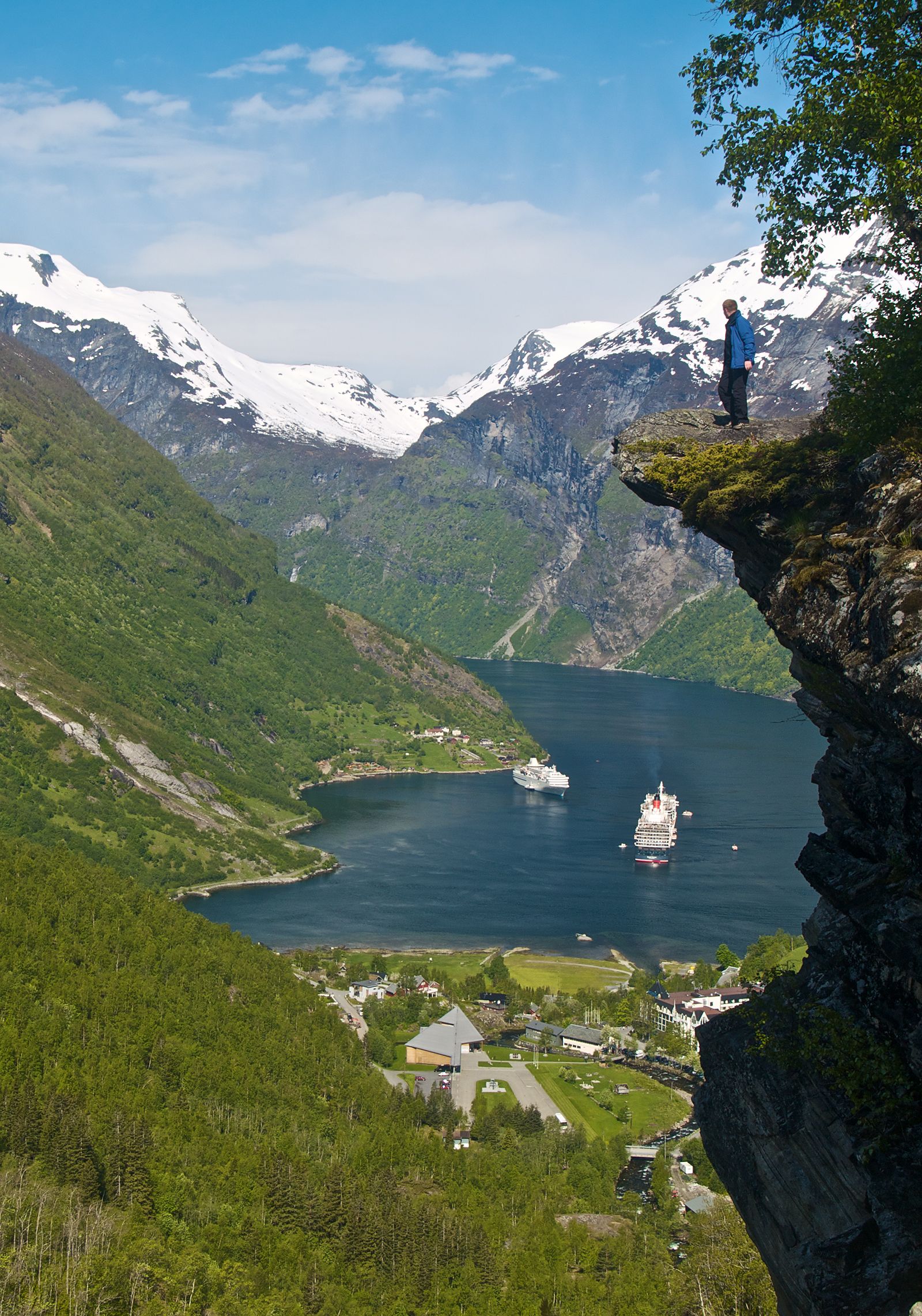
Geirangerfjord was carved by glaciers gouging a valley below sea level; when the ice retreated, the sea flooded in, leaving a fjord over 250 metres deep hemmed by near-vertical walls. Meltwater and rain pour off the heights as dozens of waterfalls — the Seven Sisters, the Suitor, the Bridal Veil — and on ledges high above the water sit the ruins of farms that were worked until the early twentieth century.
Why visit
Sailing its length is one of Europe's great scenic experiences: mirror-still water, cliffs streaked white with falls, and the sheer improbable scale of it. Viewpoints like Dalsnibba and the Eagle Road look down on the whole emerald channel.
Still deciding?
Geirangerfjord comes up most often against these — each one weighs cost, effort, season and crowds side by side.
What to know before you go
🗓️ Best time
May to September for cruises, hiking, and full waterfalls (fed by snowmelt); the road passes over the mountains are typically snow-closed in winter.
🧭 Getting there & access
Reached by the scenic road over Trollstigen or by ferry/cruise from Hellesylt or Ålesund. The village of Geiranger sits at the fjord's head.
Good to know
- Take the ferry between Geiranger and Hellesylt for the best waterfall views from the water.
- Drive up to the Dalsnibba viewpoint (weather permitting) for the aerial-style panorama.
- Go early or late in the season to avoid peak cruise-ship crowds.
Plan your visit
Easy🧭 Getting there
From Alesund (AES) or Bergen (BGO), Norway
- Fly to Alesund
- Drive or bus Alesund → Geiranger via Hellesylt or the Eagle Road — roughly 2h30–3h including a ferry
- Fjord sightseeing boats and kayaks leave from Geiranger village
- Total travel
- Half a day from Alesund
- Time at site
- 1–2 days for the fjord, viewpoints and a boat trip
- Access
- Open access. The mountain roads that make the approach spectacular — including the Trollstigen and Eagle Road sections — close for winter and reopen when snow clearing allows, typically late spring; the Norwegian roads authority publishes current status. Geiranger is a major cruise call, so the village's character changes completely depending on whether ships are in.
🎒 What to bring & consider
- Layers and a waterproof; fjord weather is cool and wet even in July
- Motion-sickness tablets if you are prone, for the sightseeing boats
- Cash is barely used — Norway is close to cashless, so a card that works abroad matters more
- A budget adjusted upward; food, fuel and ferries are expensive and there is no cheap alternative
- Warm gloves and a hat if you kayak, since meltwater keeps the fjord cold all summer
👁️ What to expect
- Crowds
- Heavy when cruise ships are berthed, and calm when they are not — check the port schedule if you want the quiet version.
- Conditions
- Easy at village and viewpoint level. The walks up to Skageflaa and the surrounding farms are steep and exposed.
- Facilities
- Good in Geiranger village in season; much reduced in winter.
- The view
- The classic is from the Eagle Road or Flydalsjuvet looking down the fjord. Low cloud sits in the fjord for days at a time — morning often clears before the afternoon does.
Times and requirements are approximate and change with season, weather, and local rules — confirm permits, fares, and schedules with operators before you travel.
Natural riches of the area
- Glacier-carved fjord geology and steep alpine watersheds
- Dozens of high waterfalls fed by snowmelt
- Cold, deep marine waters rich in fish
- Steep-slope farming heritage and birch/pine forest
Local food
- Fresh Norwegian salmon & trout
- Cold-water fish from the fjords and rivers, served cured (gravlaks) or grilled.
- Fjord goat cheese (geitost)
- Sweet caramel-brown whey cheese from mountain-grazed goats.
- Wild berries
- Bilberries and cloudberries gathered on the high slopes in late summer.
Geirangerfjord is the fjord that ends up on the postcards, and rightly so. Glaciers carved a valley far below today’s sea level; when they melted, the ocean flooded in, leaving a deep, sinuous channel walled by cliffs that rise a thousand metres almost straight from the water. Waterfalls pour down those walls in ribbons — the Seven Sisters cascading in parallel, the Suitor ‘courting’ them from across the fjord.
Look up as you sail and you’ll spot the reason people speak of it with awe: tiny abandoned farmsteads perched on ledges high above the water, worked by families who once climbed ropes to reach their own fields. It is a landscape of extremes — depth, height, and sheer verticality — and one of the crown jewels of Norway’s UNESCO-listed western fjords.
Geirangerfjord: common questions
How do you get to Geirangerfjord?
From Alesund (AES) or Bergen (BGO), Norway: Fly to Alesund; Drive or bus Alesund → Geiranger via Hellesylt or the Eagle Road — roughly 2h30–3h including a ferry; Fjord sightseeing boats and kayaks leave from Geiranger village. Total travel time: Half a day from Alesund.
When is the best time to visit Geirangerfjord?
May to September for cruises, hiking, and full waterfalls (fed by snowmelt); the road passes over the mountains are typically snow-closed in winter.
How long should you spend at Geirangerfjord?
1–2 days for the fjord, viewpoints and a boat trip. Total travel time: Half a day from Alesund.
What should you bring to Geirangerfjord?
Layers and a waterproof; fjord weather is cool and wet even in July Motion-sickness tablets if you are prone, for the sightseeing boats Cash is barely used — Norway is close to cashless, so a card that works abroad matters more A budget adjusted upward; food, fuel and ferries are expensive and there is no cheap alternative Warm gloves and a hat if you kayak, since meltwater keeps the fjord cold all summer
Do you need a permit or guide for Geirangerfjord?
Open access. The mountain roads that make the approach spectacular — including the Trollstigen and Eagle Road sections — close for winter and reopen when snow clearing allows, typically late spring; the Norwegian roads authority publishes current status. Geiranger is a major cruise call, so the village's character changes completely depending on whether ships are in.
Is Geirangerfjord crowded, and what are conditions like?
Heavy when cruise ships are berthed, and calm when they are not — check the port schedule if you want the quiet version. Easy at village and viewpoint level. The walks up to Skageflaa and the surrounding farms are steep and exposed. Facilities: Good in Geiranger village in season; much reduced in winter.
Added Updated
More wonders to explore