Vøringsfossen
📍 Eidfjord, Vestland, Western Norway
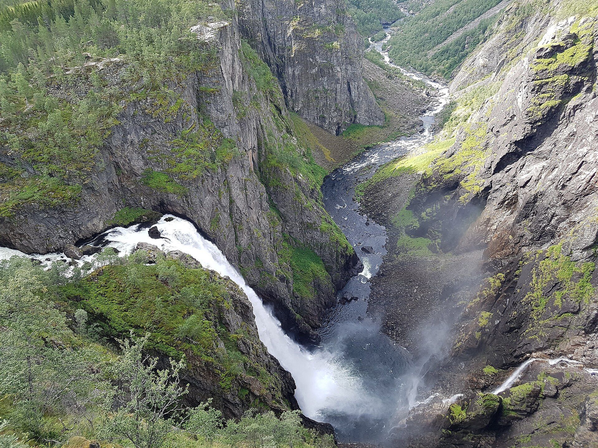
Norway's most celebrated waterfall — a river flung off the edge of the Hardangervidda plateau, dropping around 180 metres into the raw rock gorge of Måbødalen, now ringed by a dramatic stepped bridge and clifftop viewpoints.
What makes it marvelous
Where the high, treeless Hardangervidda plateau breaks off into the fjord country, the river Bjoreio simply runs out of ground and falls — around 180 metres in total, with a single free plunge of roughly 145 metres — into the deep glacial gorge of Måbødalen. The plateau above is one of Europe's largest mountain plateaus; the fall is the seam where that upland world drops abruptly to the fjords.
Why visit
It pairs power with staging: mist thunders up out of the gorge, and an award-winning switchback footbridge and clifftop platforms let you stand right at the lip and look straight down the drop. The setting — plateau on one side, fjord valley on the other — is as striking as the fall itself.
Still deciding?
Vøringsfossen comes up most often against these — each one weighs cost, effort, season and crowds side by side.
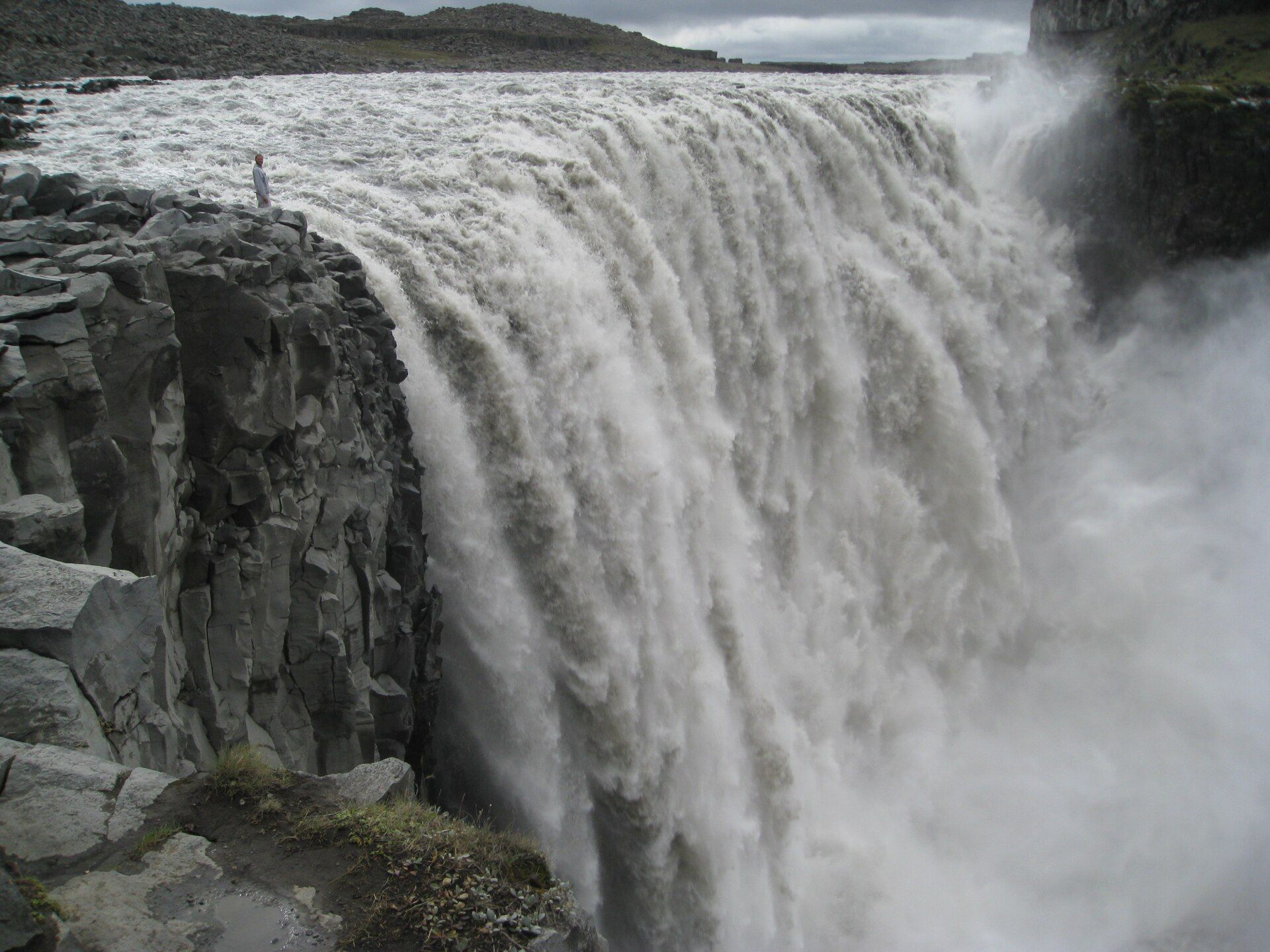
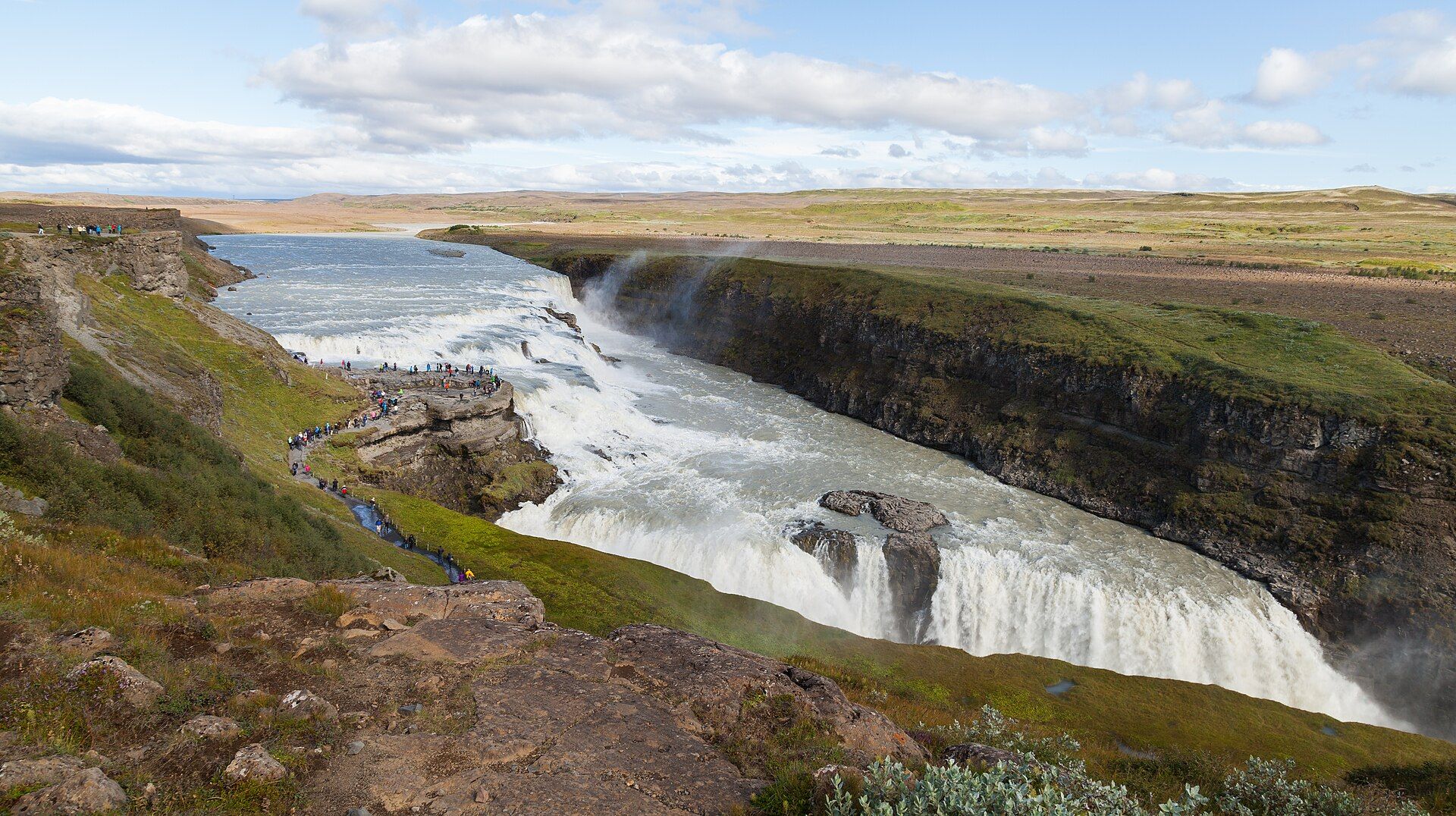
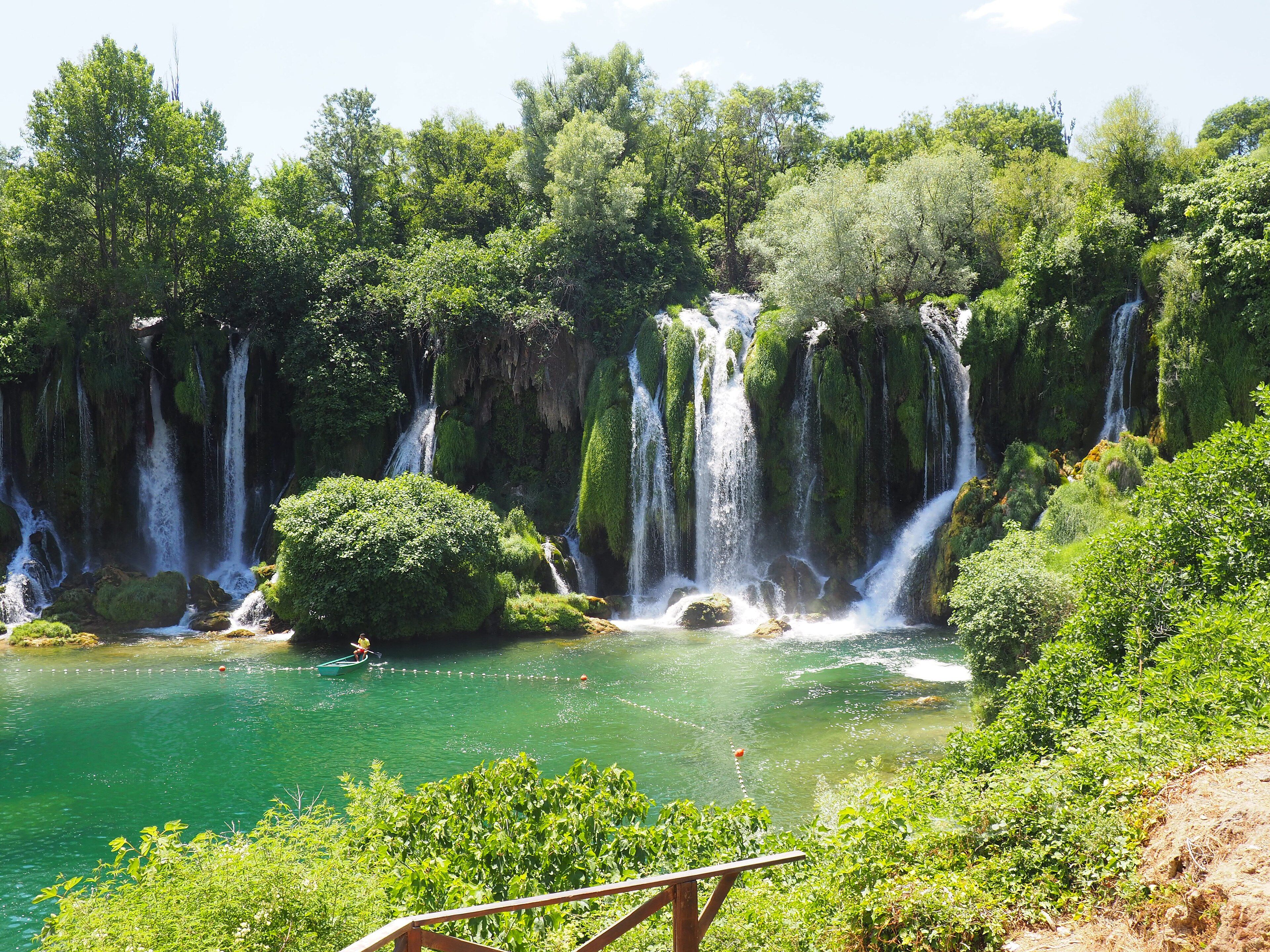
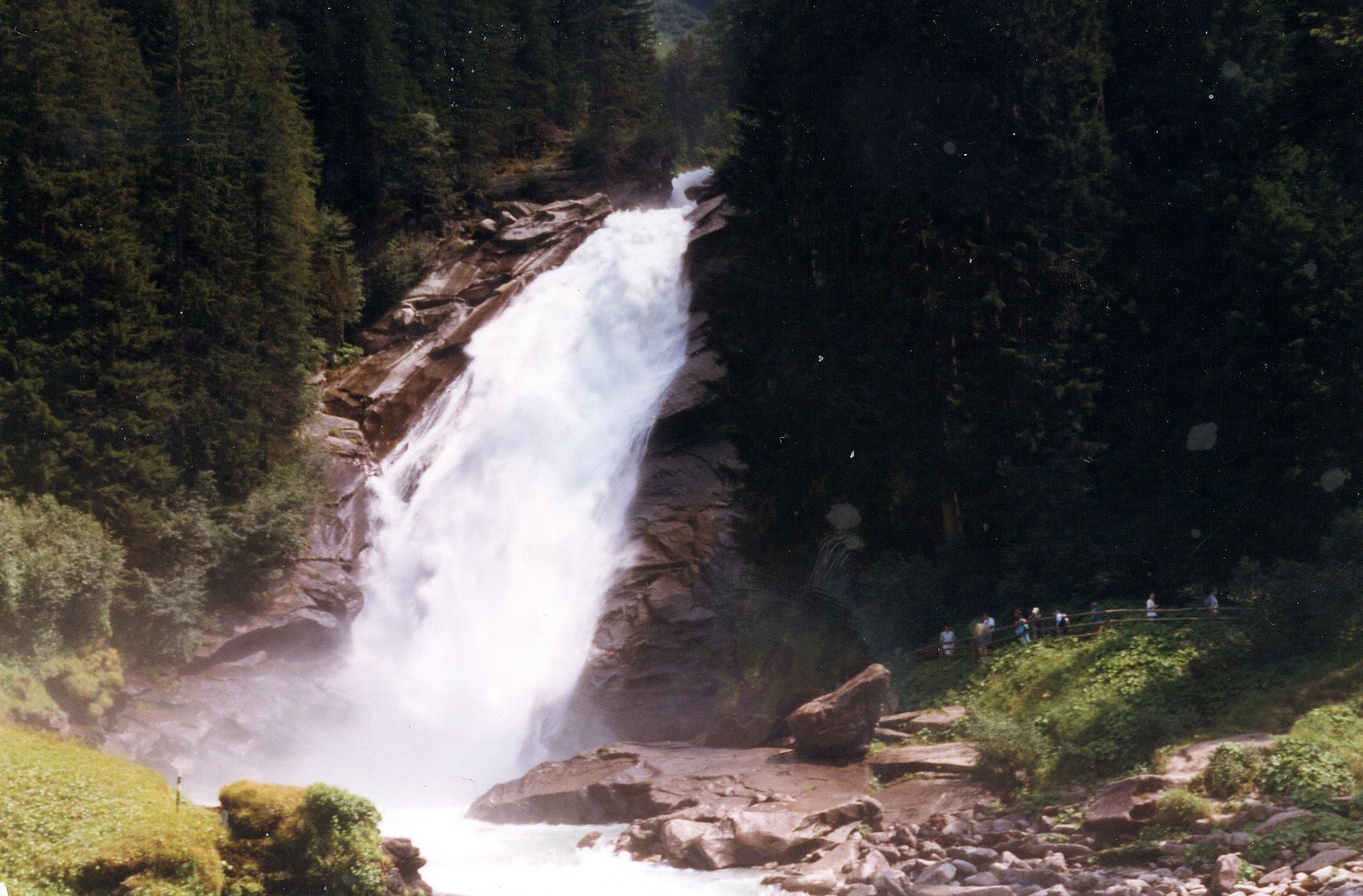
More views of Vøringsfossen
Additional photographs of the actual site — each freely licensed, with its photographer and licence credited.
What to know before you go
🗓️ Best time
Late May to September, when the snowmelt keeps the fall thundering and the mountain road over the plateau is open; the road and upper viewpoints are typically snow-closed in winter.
🧭 Getting there & access
Beside the main road between Eidfjord and the Hardangervidda plateau. There are viewpoints at the top by the Fossli hotel and at the new bridge, and a steep historic trail down into Måbødalen for the view from below.
Good to know
- See it from both the top platforms and the valley floor — they are completely different experiences.
- Mind children and the wet, polished rock near the unfenced older viewpoints.
- Combine it with a drive across the Hardangervidda plateau, one of Norway's great high-road crossings.
Plan your visit
Easy🧭 Getting there
From Eidfjord, Western Norway (via Bergen BGO)
- Fly to Bergen and drive east toward the Hardangerfjord — roughly 2h30–3h to Eidfjord depending on ferries
- Continue up the Måbødalen valley road toward the plateau; the falls are signed off the main road
- Park at the Fossli or bridge viewpoints
- Total travel
- A half-day drive from Bergen
- Time at site
- 1–2h for the viewpoints; longer with the valley trail
- Access
- The viewpoints beside the road are open access. The mountain road across the Hardangervidda closes in winter and reopens when snow clearing allows, usually in spring; the Norwegian roads authority publishes current status.
🎒 What to bring & consider
- A waterproof — the spray reaches the platforms in high flow
- Sturdy shoes for the polished, wet rock near the older viewpoints
- Warm layers; the plateau edge is cold and windy even in summer
- A card that works abroad, as Norway is largely cashless
👁️ What to expect
- Crowds
- Busy midday in summer as tour buses stop; calmer early and late.
- Conditions
- Easy at the platforms; the historic path down into Måbødalen is steep.
- Facilities
- Hotel, cafe and car parks at the top viewpoints in season.
- The view
- From the stepped bridge looking back at the full drop, or from the valley floor looking up through the spray — both need decent flow, so go before high summer thins the river.
Times and requirements are approximate and change with season, weather, and local rules — confirm permits, fares, and schedules with operators before you travel.
Natural riches of the area
- The Bjoreio river draining the Hardangervidda plateau
- A deep glacier-cut gorge, Måbødalen
- One of Europe's largest mountain plateaus above the falls
- Wild reindeer range and alpine tundra on the uplands
Local food
- Hardanger cider and apples
- The fjord slopes nearby are Norway's orchard country, with a protected cider tradition.
- Fresh trout
- From the plateau lakes and rivers of the Hardangervidda.
- Cured and smoked mutton
- Mountain-farm lamb, salted and dried in the Norwegian style.
Vøringsfossen is the waterfall Norwegians tend to name first, and its drama comes from geography as much as height. The high Hardangervidda — a vast, bare mountain plateau — ends here in an abrupt wall, and the river Bjoreio pours over that edge in a fall of around 180 metres, including a single clear plunge of roughly 145 metres, into the glacier-cut gorge of Måbødalen below. Stand at the top and you are on the roof of southern Norway; look down and you are staring into the fjord country.
For years the fall was admired from a scattering of clifftop viewpoints; more recently a striking switchback footbridge and new platforms were built to let visitors stand safely at the very lip and look straight down the drop. A steep historic trail also descends into the valley for the view from beneath, where the spray and the sound are overwhelming. It sits right beside the main road up to the plateau, making it one of the easiest of Norway’s great natural set-pieces to reach.
Vøringsfossen: common questions
How do you get to Vøringsfossen?
From Eidfjord, Western Norway (via Bergen BGO): Fly to Bergen and drive east toward the Hardangerfjord — roughly 2h30–3h to Eidfjord depending on ferries; Continue up the Måbødalen valley road toward the plateau; the falls are signed off the main road; Park at the Fossli or bridge viewpoints. Total travel time: A half-day drive from Bergen.
When is the best time to visit Vøringsfossen?
Late May to September, when the snowmelt keeps the fall thundering and the mountain road over the plateau is open; the road and upper viewpoints are typically snow-closed in winter.
How long should you spend at Vøringsfossen?
1–2h for the viewpoints; longer with the valley trail. Total travel time: A half-day drive from Bergen.
What should you bring to Vøringsfossen?
A waterproof — the spray reaches the platforms in high flow Sturdy shoes for the polished, wet rock near the older viewpoints Warm layers; the plateau edge is cold and windy even in summer A card that works abroad, as Norway is largely cashless
Do you need a permit or guide for Vøringsfossen?
The viewpoints beside the road are open access. The mountain road across the Hardangervidda closes in winter and reopens when snow clearing allows, usually in spring; the Norwegian roads authority publishes current status.
Is Vøringsfossen crowded, and what are conditions like?
Busy midday in summer as tour buses stop; calmer early and late. Easy at the platforms; the historic path down into Måbødalen is steep. Facilities: Hotel, cafe and car parks at the top viewpoints in season.
Added
More wonders to explore