How a fjord is made: the sea in a glacier's footprint
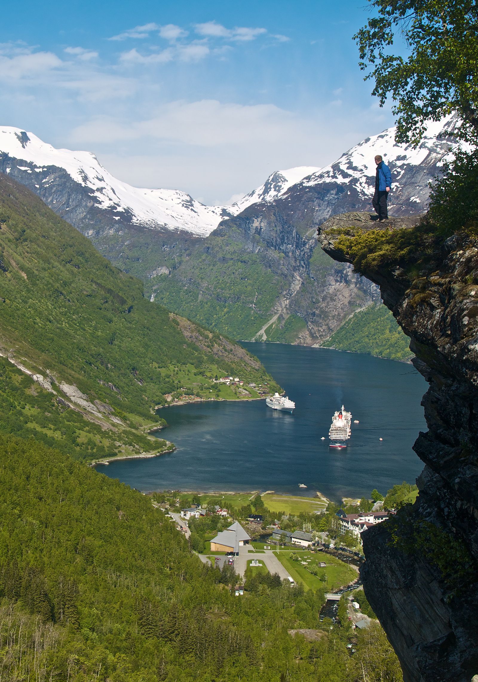
Sail into Geirangerfjord and the scale is hard to process: seawater winding for miles between cliffs that rise a thousand metres almost straight up, with waterfalls pouring down and tiny farms clinging to ledges. How does a coastline end up shaped like that? The answer is ice.
During the ice ages, thick glaciers flowed down existing river valleys toward the sea. Ice is heavy and relentless, and where it was thickest and fastest it gouged the valley floors far deeper than a river ever could — often below sea level — carving the characteristic steep-walled, U-shaped profile. When the climate warmed and the glaciers retreated, the ocean flooded into these over-deepened troughs. A fjord is, quite literally, the sea filling a glacier’s footprint.
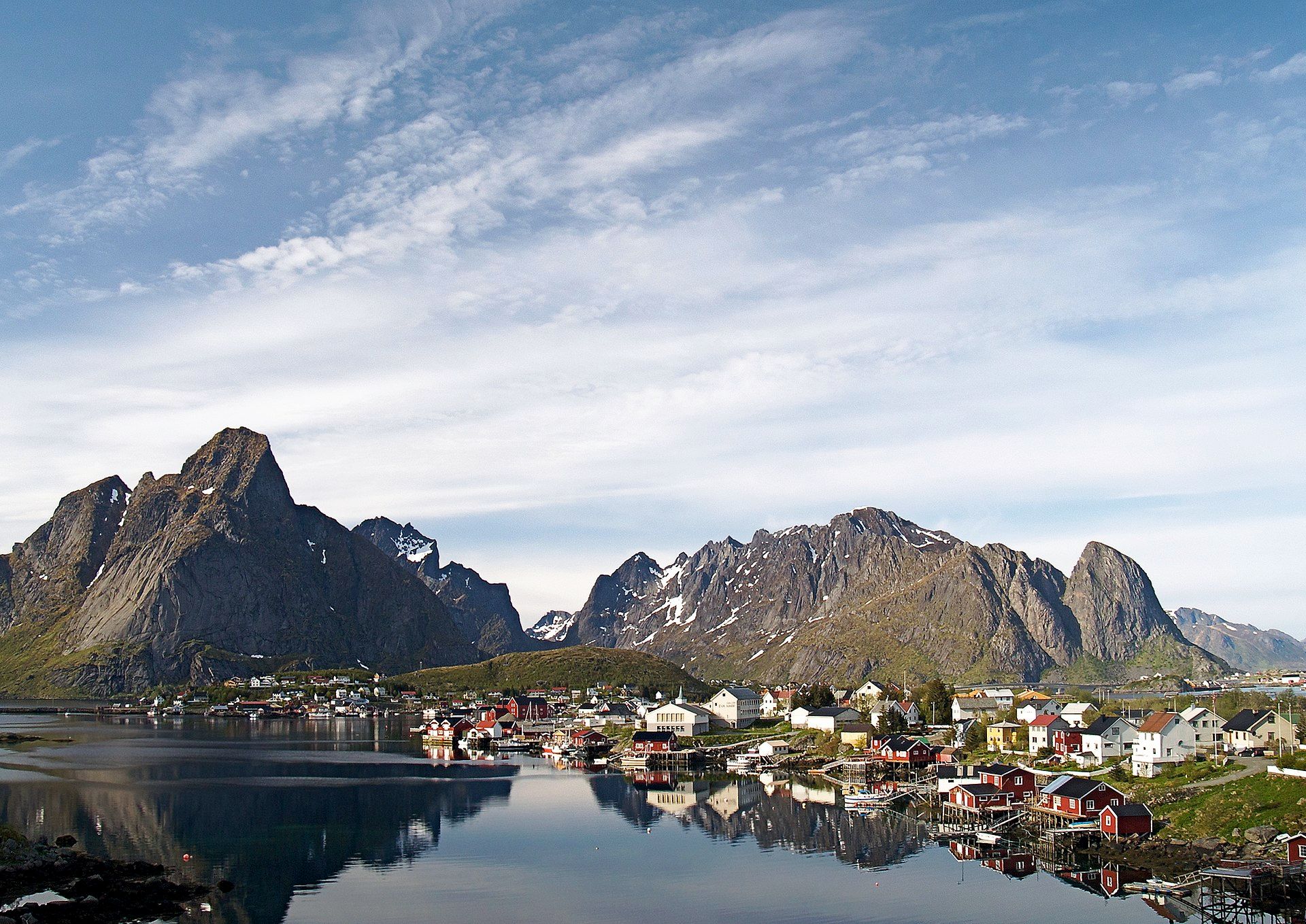
The same ice sharpened the mountains it passed, which is why fjord country and dramatic peaks go together — and why the islands of Lofoten, further north, rise as serrated granite straight from the water. Norway just happens to have had the right rock, the right rivers, and a great deal of ice — and the result is one of the most spectacular coastlines anywhere on the planet.
Wonders in this article