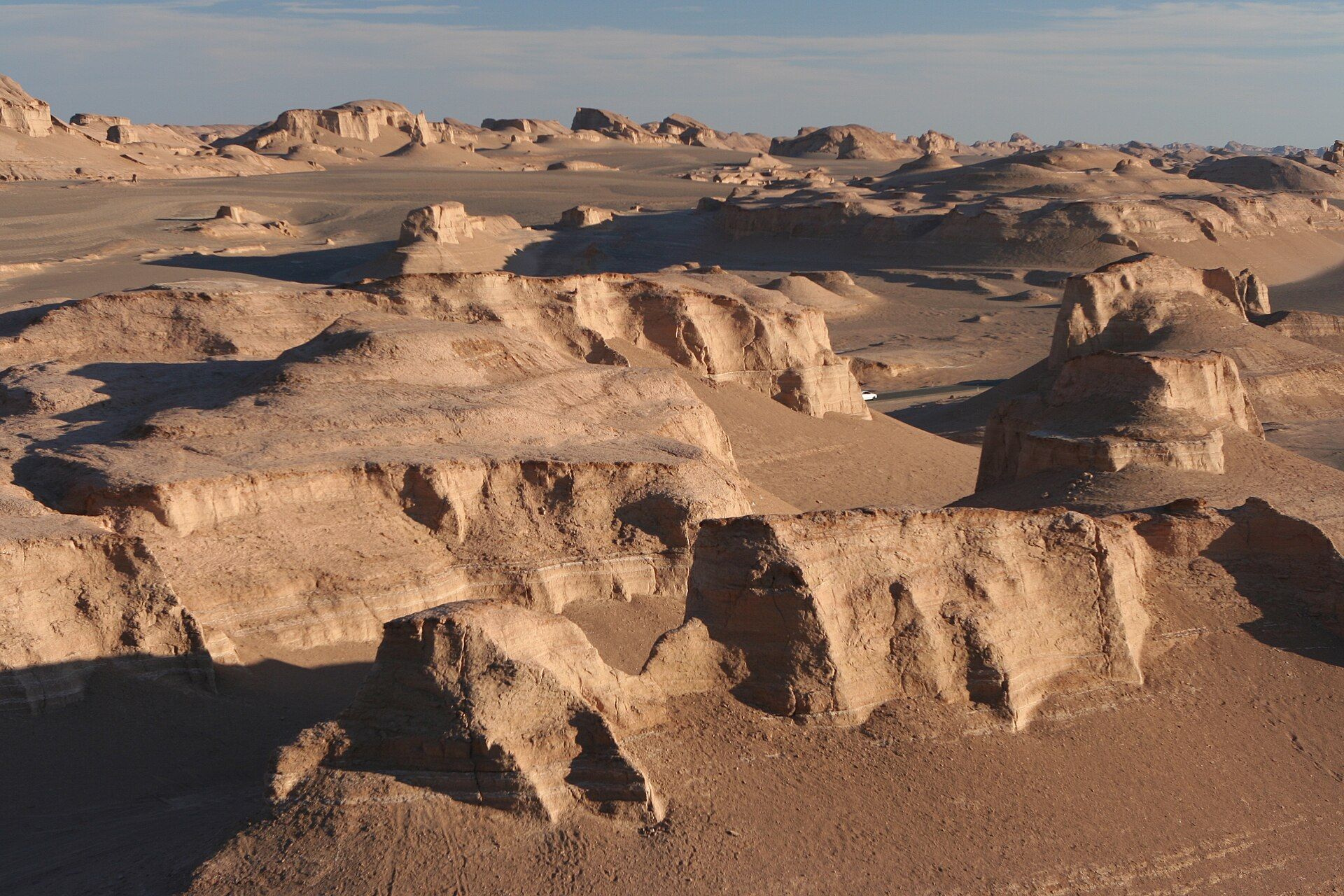
Death Valley
📍 California / Nevada, United States
The hottest, driest, and lowest place in North America — a vast desert of salt flats, sculpted dunes, and painted badlands that, against all odds, bursts into wildflowers after rare rains.
What makes it marvelous
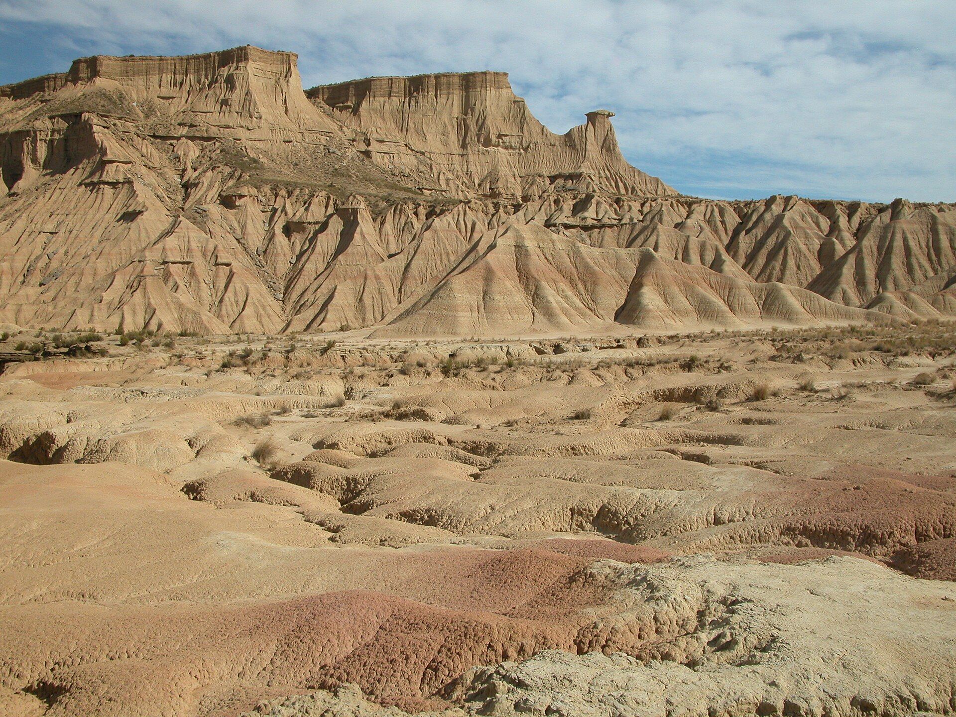
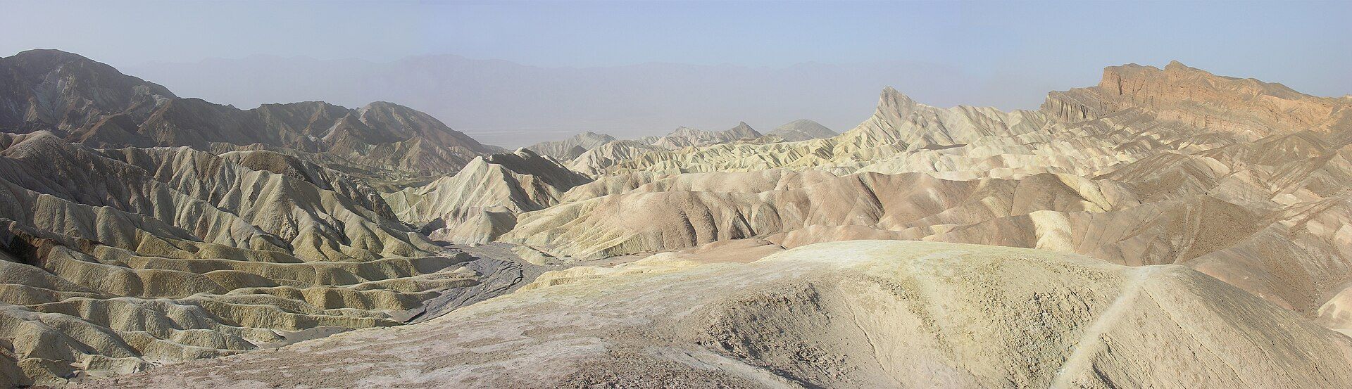
Death Valley holds the record for the highest reliably-measured air temperature on Earth (about 57°C / 134°F), and its floor at Badwater Basin lies 86 metres below sea level, the lowest point in North America. Ringed by high mountains that wring the moisture from passing storms, it is astonishingly dry — yet full of variety: blinding white salt flats, the rippling Mesquite dunes, the eroded rainbow badlands of Zabriskie Point and Artist's Palette, and salt-cracked polygons stretching for kilometres. In rare wet years, dormant seeds erupt into a 'super bloom' of desert wildflowers. It is the largest national park in the contiguous United States.
Why visit
The scale and extremity are the draw: standing on the salt flats far below sea level, watching dawn paint the badlands, climbing the dunes, and marvelling that so stark a place can, briefly, bloom. The dark, dry skies are also superb for stargazing.
Still deciding?
Death Valley comes up most often against these — each one weighs cost, effort, season and crowds side by side.
What to know before you go
🗓️ Best time
November to March, when temperatures are pleasant; summer is genuinely dangerous, with heat that can be lethal. Wildflower blooms, when they happen, are usually late winter to spring.
🧭 Getting there & access
In eastern California near the Nevada border, reached from Las Vegas or Los Angeles. Paved roads reach the main sights; carry plenty of water and watch vehicle temperatures.
Good to know
- Do not visit in summer heat casually — it can be deadly; go November–March.
- Carry far more water than you expect and never rely on phone signal.
- Catch sunrise at Zabriskie Point and stay for the dark-sky stargazing.
Plan your visit
Moderate🧭 Getting there
From Las Vegas, Nevada — or Furnace Creek within the park
- Fly → Las Vegas (LAS)
- Drive Las Vegas → Furnace Creek — roughly 2h–2h30
- Drive between viewpoints inside the park — Badwater, Zabriskie and the dunes are each 10–40 minutes apart
- Total travel
- Around two and a half hours from Las Vegas
- Time at site
- Two days covers the main basin; more if you go remote
- Access
- National park entry fee, paid at machines or online since there is not always a staffed gate. The park is open year-round, but summer here is a genuine hazard rather than an inconvenience — ground temperatures at Badwater are among the highest recorded anywhere, and the Park Service advises against hiking at low elevation after mid-morning from late spring through early autumn. Backcountry roads wash out after storms. Check current road status with the National Park Service.
🎒 What to bring & consider
- Far more water than seems reasonable — several litres per person per day, in the car, not just on you. Heat illness here escalates fast and there is no shade anywhere on the valley floor
- A full tank before you enter, since fuel inside the park is limited to a few points and priced accordingly
- Downloaded maps, because there is no mobile signal across most of the park and navigation apps have routed people onto unmaintained dirt roads with fatal results
- A high-clearance vehicle with a full-size spare and the means to change it if you want the Racetrack — punctures on that road are routine and a recovery is expensive
- Winter layers if you visit between November and February, when nights are genuinely cold
👁️ What to expect
- Crowds
- Busy at Zabriskie Point and Badwater in the cooler months, especially at sunrise and sunset. Nearly empty in summer, for good reason.
- Conditions
- Extreme heat from May to September, mild and pleasant from November to March. Dry, bright and enormous.
- Facilities
- Furnace Creek and Stovepipe Wells have lodging, fuel and food. Beyond them, nothing.
- The view
- Dawn from Zabriskie Point over the badlands, or the salt polygons at Badwater in low light. The polygons need a dry spell — after rain the basin floods into a shallow lake, which is its own remarkable sight and utterly different from the postcard.
Times and requirements are approximate and change with season, weather, and local rules — confirm permits, fares, and schedules with operators before you travel.
Natural riches of the area
- Extreme desert (Earth's highest recorded air temperature)
- Below-sea-level salt flats (Badwater Basin)
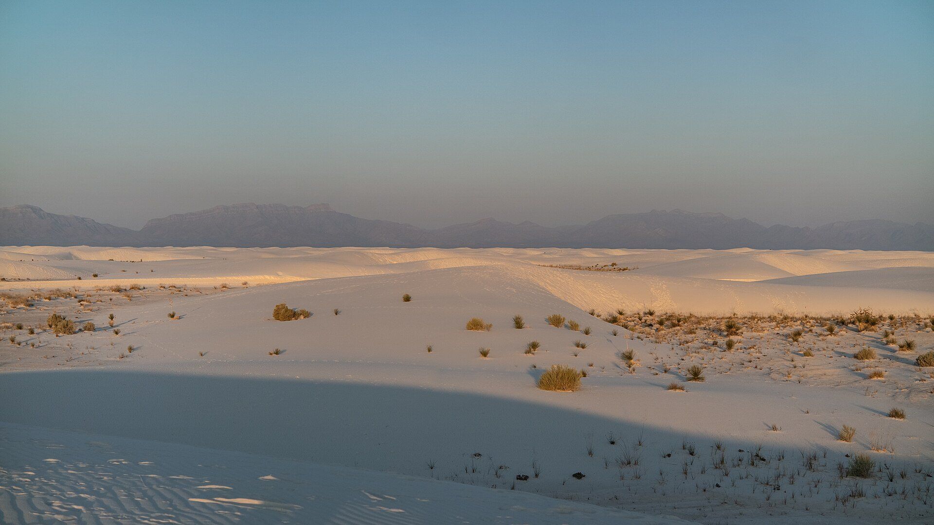
- Sand dunes, eroded badlands, and rare wildflower blooms
- Exceptionally dark skies and unique desert wildlife
Local food
- Date shakes
- Made from dates grown in the nearby desert oases of the region.
- Southwestern & diner fare
- Hearty road-trip food at the valley's few outposts.
- Prickly pear
- Desert cactus fruit in syrups and candies.
Death Valley trades in extremes. It has recorded the highest reliable air temperature ever measured on Earth — around 57°C — and its floor at Badwater Basin, 86 metres below sea level, is the lowest point in North America. Ringed by mountains that strip the rain from passing storms, it is one of the driest places on the continent, a furnace of salt and stone.
And yet it is anything but monotonous. Blinding white salt flats crack into endless polygons; the Mesquite dunes ripple gold at dawn; the badlands of Zabriskie Point and Artist’s Palette glow in bands of rust, green, and violet from their minerals. Rarest of all, in a wet year long-dormant seeds erupt into a super bloom of wildflowers across the desert floor. The largest national park in the lower United States, Death Valley is a lesson in how much life and beauty can hide in the harshest ground — best explored in the cool months, and never taken lightly in summer.
The park’s strangest feature sits well off the paved road. On Racetrack Playa, stones weighing up to tens of kilograms trail long grooves across the dry lakebed, and for decades nobody had ever seen one move. A GPS-and-camera study in the winter of 2013–14 finally caught them in the act: after a rare flooding, a few millimetres of ice form overnight, break up under the late-morning sun, and the thin floating panels shove the stones along at two to five metres a minute in winds of only about four to five metres per second. Getting there means some 43 kilometres of rough dirt road notorious for shredding tyres. The other correction worth making concerns the flowers — a true super bloom needs a particular sequence of well-spaced autumn and winter rain, and arrives roughly once a decade at best, not most springs.
Death Valley: common questions
How do you get to Death Valley?
From Las Vegas, Nevada — or Furnace Creek within the park: Fly → Las Vegas (LAS); Drive Las Vegas → Furnace Creek — roughly 2h–2h30; Drive between viewpoints inside the park — Badwater, Zabriskie and the dunes are each 10–40 minutes apart. Total travel time: Around two and a half hours from Las Vegas.
When is the best time to visit Death Valley?
November to March, when temperatures are pleasant; summer is genuinely dangerous, with heat that can be lethal. Wildflower blooms, when they happen, are usually late winter to spring.
How long should you spend at Death Valley?
Two days covers the main basin; more if you go remote. Total travel time: Around two and a half hours from Las Vegas.
What should you bring to Death Valley?
Far more water than seems reasonable — several litres per person per day, in the car, not just on you. Heat illness here escalates fast and there is no shade anywhere on the valley floor A full tank before you enter, since fuel inside the park is limited to a few points and priced accordingly Downloaded maps, because there is no mobile signal across most of the park and navigation apps have routed people onto unmaintained dirt roads with fatal results A high-clearance vehicle with a full-size spare and the means to change it if you want the Racetrack — punctures on that road are routine and a recovery is expensive Winter layers if you visit between November and February, when nights are genuinely cold
Do you need a permit or guide for Death Valley?
National park entry fee, paid at machines or online since there is not always a staffed gate. The park is open year-round, but summer here is a genuine hazard rather than an inconvenience — ground temperatures at Badwater are among the highest recorded anywhere, and the Park Service advises against hiking at low elevation after mid-morning from late spring through early autumn. Backcountry roads wash out after storms. Check current road status with the National Park Service.
Is Death Valley crowded, and what are conditions like?
Busy at Zabriskie Point and Badwater in the cooler months, especially at sunrise and sunset. Nearly empty in summer, for good reason. Extreme heat from May to September, mild and pleasant from November to March. Dry, bright and enormous. Facilities: Furnace Creek and Stovepipe Wells have lodging, fuel and food. Beyond them, nothing.
Added Updated
More wonders to explore
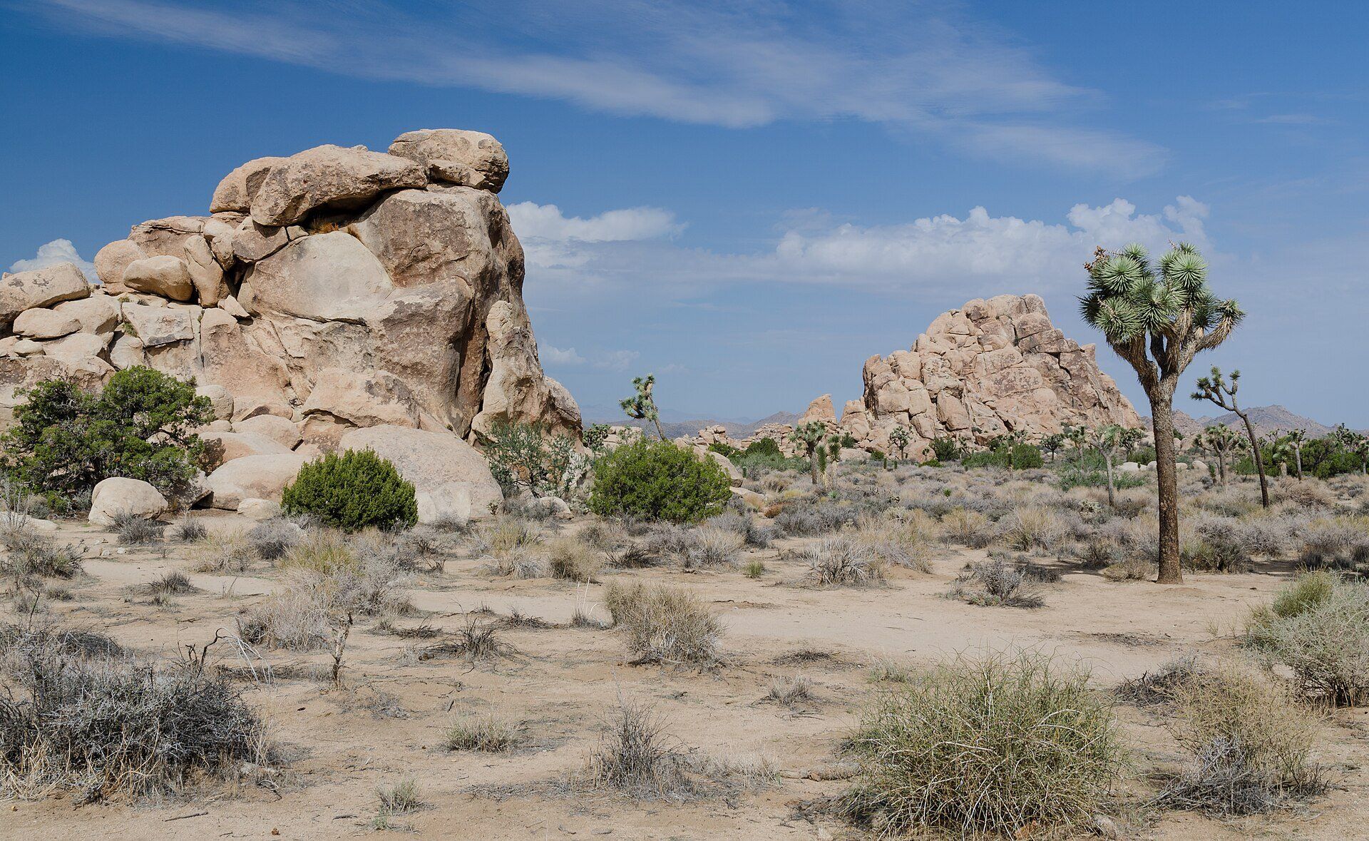
Joshua Tree National Park
Southern California, USA, between Twentynine Palms and Interstate 10, about 140 miles east of Los Angeles