Grand Canyon
📍 Arizona, United States
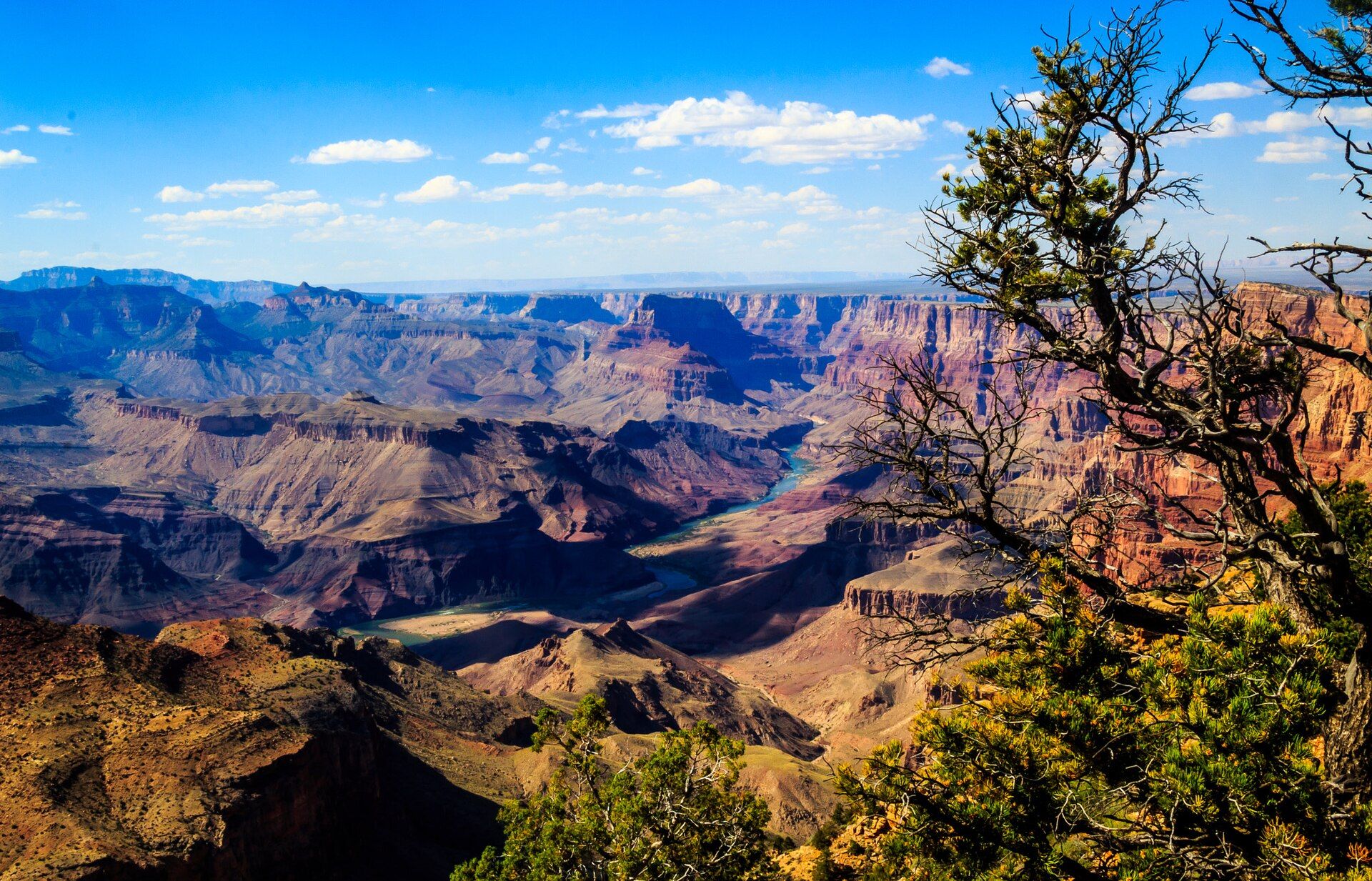
One of the most staggering landscapes on Earth — a mile-deep, 446-kilometre-long chasm where the Colorado River has laid bare nearly two billion years of the planet's history in bands of coloured rock.
What makes it marvelous
The canyon is up to about 1.8 kilometres (a mile) deep and 29 kilometres wide, carved by the Colorado River over roughly the last five to six million years. Its walls expose an almost unbroken rock record — from young rimrock down to Vishnu Schist nearly two billion years old at the river — making it one of the greatest geological cross-sections anywhere. The strata glow in shifting reds, ochres, and violets as the sun moves.
Why visit
The scale simply overwhelms: standing at the rim, the far wall is miles away and the river a distant thread. Sunrise and sunset set the layers ablaze, and options range from rim viewpoints and trails to multi-day rafting and hiking down to the Colorado itself.
Still deciding?
Grand Canyon comes up most often against these — each one weighs cost, effort, season and crowds side by side.
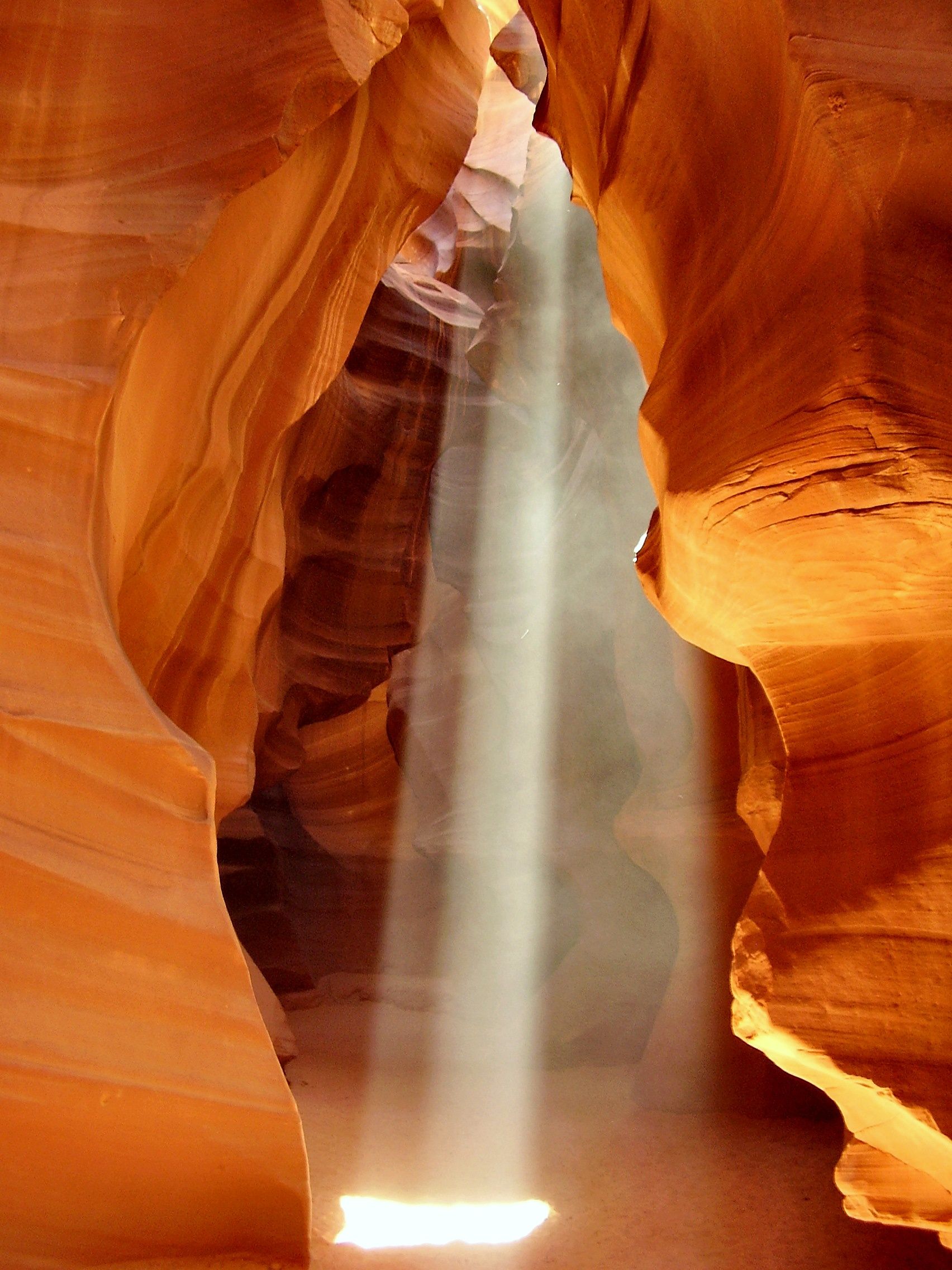
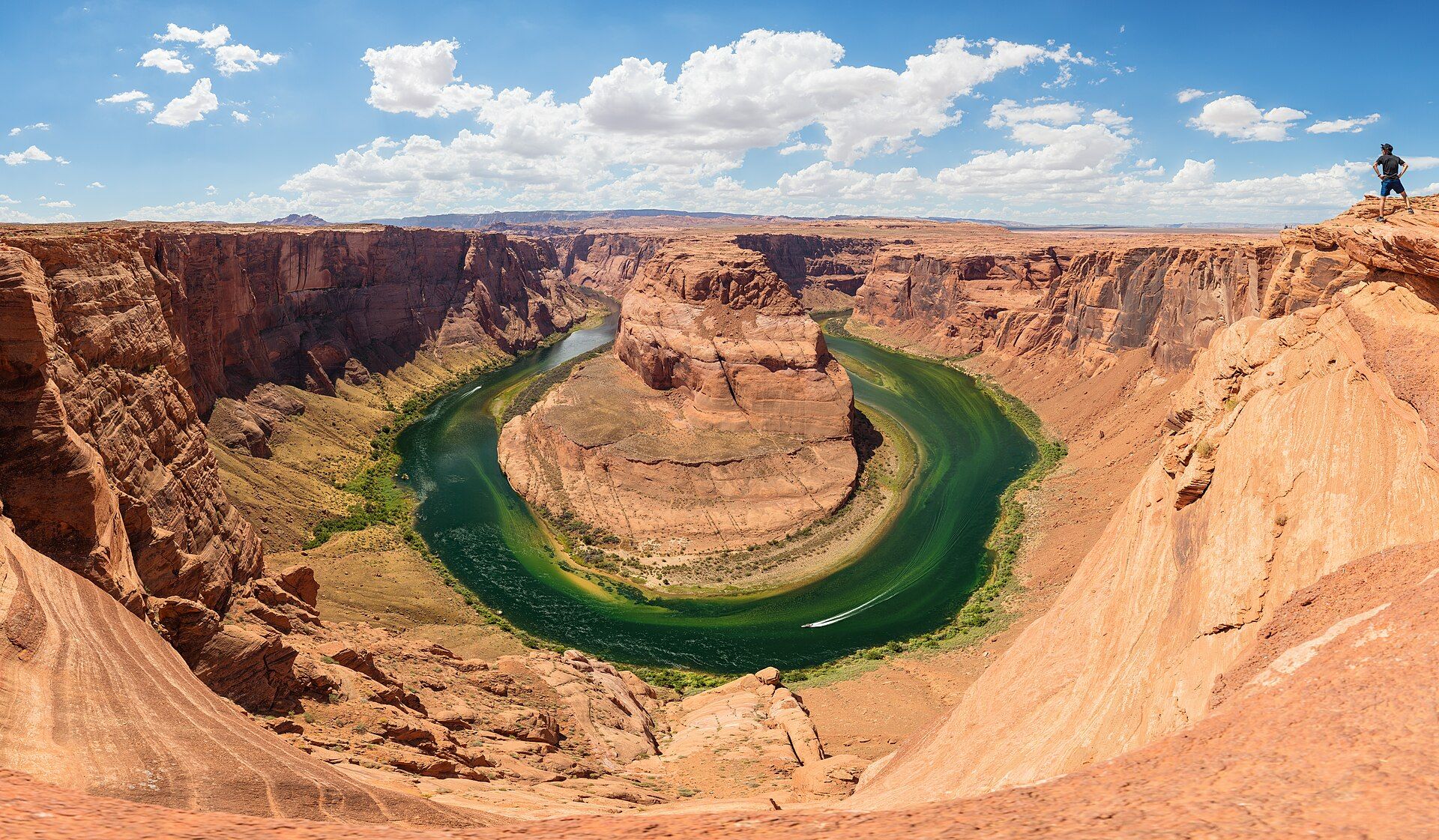
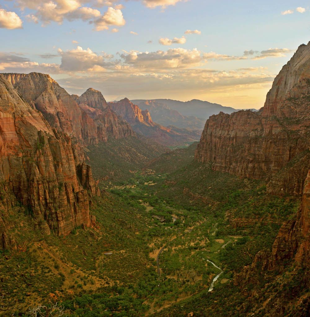
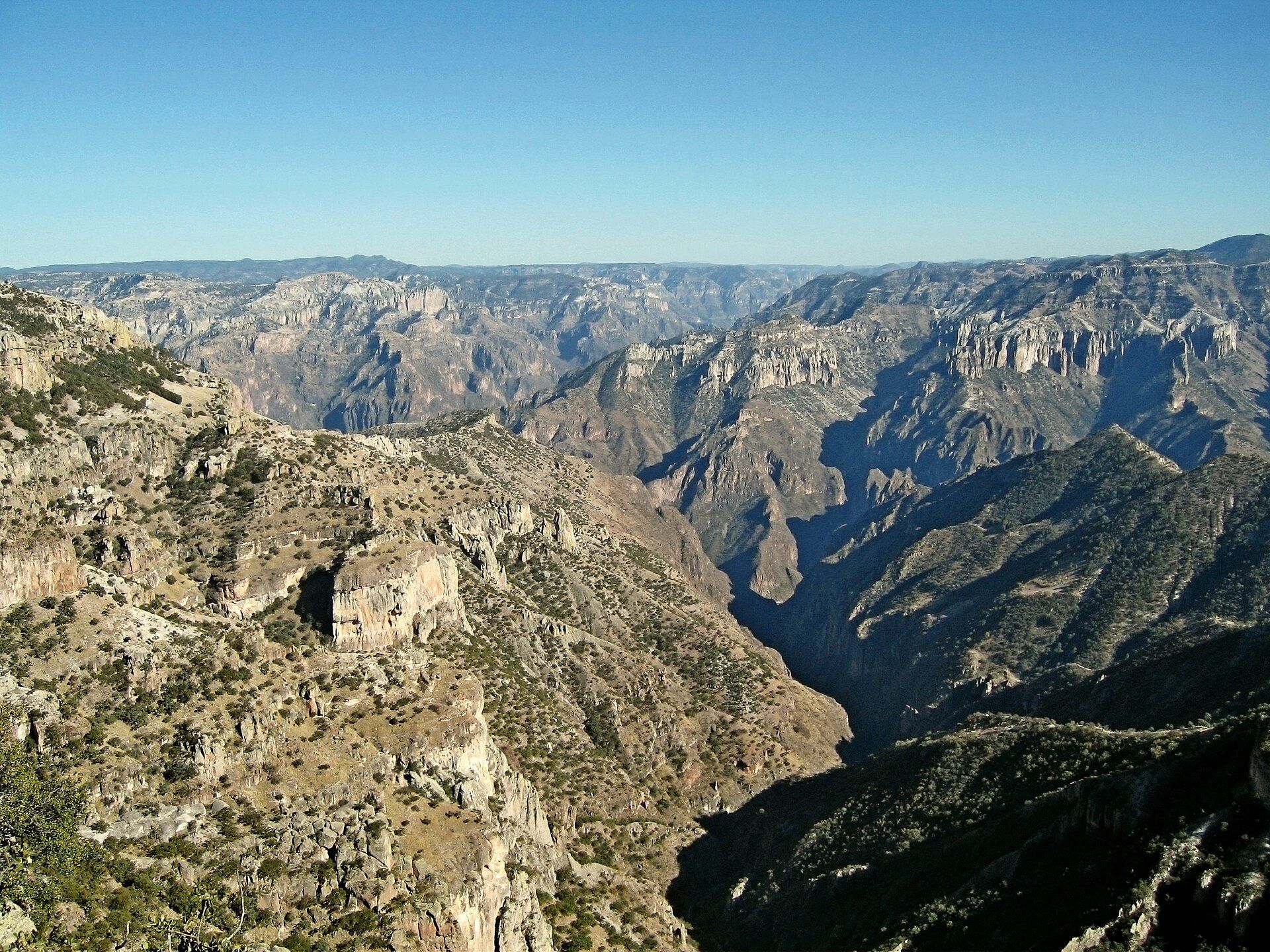
More views of Grand Canyon
Additional photographs of the actual site — each freely licensed, with its photographer and licence credited.
What to know before you go
🗓️ Best time
Spring and autumn for mild temperatures on the popular South Rim (open year-round). Summer is hot and crowded; the higher North Rim is seasonal (roughly mid-May to mid-October).
🧭 Getting there & access
The South Rim is reached from Flagstaff or Williams, Arizona (via Grand Canyon Village); shuttle buses serve the viewpoints. Inner-canyon hiking and rafting require preparation and, for some, permits.
Good to know
- Never try to hike to the river and back in a single day — the climb out in heat is dangerous.
- Carry far more water than you think; the dry heat is deceptive.
- Catch sunrise or sunset from Mather or Hopi Point for the best light.
Plan your visit
Easy🧭 Getting there
From Las Vegas (LAS) or Phoenix (PHX); Flagstaff is the closest town to the South Rim
- Fly to Phoenix or Las Vegas
- Drive to the South Rim — roughly 3h30–4h30 from Phoenix, 4–5h from Las Vegas
- From Flagstaff the drive is far shorter — about 1h30
- Total travel
- A full travel day from either coast
- Time at site
- 1–2 days on the rim; 2–3 days if you go down to the river
- Access
- National park entrance fee per vehicle, valid several days. No permit for rim viewpoints. Anything overnight below the rim needs a backcountry permit, and demand far exceeds supply — check the park service for the current application window and lottery rules.
🎒 What to bring & consider
- Far more water than feels necessary — the air is bone dry and dehydration is the commonest reason people need rescuing here
- Sun protection; shade below the rim is essentially nonexistent
- Warm layers — the South Rim sits above 2,100m and snows in winter
- Sturdy shoes if you descend at all; the hard direction is the climb back out
- Downloaded maps — mobile signal is unreliable away from the village
👁️ What to expect
- Crowds
- The South Rim is busy from spring through autumn, worst around midday at Mather Point and Bright Angel. The North Rim is far quieter and closed through winter.
- Conditions
- Paved, largely flat rim paths with accessible sections. Below the rim the trails are steep, unshaded and brutally hot in summer — the inner canyon runs far hotter than the rim.
- Facilities
- Extensive at Grand Canyon Village: lodging, food, shuttles, medical clinic. Almost nothing below the rim.
- The view
- Low sun at either end of the day gives the canyon its depth; midday flattens it. Summer wildfire haze can wash the view out entirely for days at a time.
Times and requirements are approximate and change with season, weather, and local rules — confirm permits, fares, and schedules with operators before you travel.
Natural riches of the area
- A ~2-billion-year exposed geological rock record
- The Colorado River and its watershed
- Desert, pinyon-juniper, and forest ecosystems by elevation
- California condors, bighorn sheep, and diverse desert wildlife
Local food
- Navajo frybread & tacos
- A Southwest staple from the Native nations of the region.
- Southwestern chili & cornbread
- Hearty fare suited to the high desert climate.
- Prickly pear
- Desert cactus fruit used in syrups, candies, and drinks.
Few sights on Earth prepare you for the Grand Canyon. From the rim, the opposite wall stands miles away and the Colorado River — the sculptor of the whole thing — is a faint green thread a mile below. Over the last five to six million years, that river has cut down through layer after layer of rock, exposing an almost continuous record of the planet’s past, from young limestone at the top to schist nearly two billion years old at the bottom.
It is geology turned into spectacle. As the sun crosses the sky, the banded walls shift through reds, oranges, and purples, and the sheer depth and distance reset your sense of scale. Whether you take it in from a rim viewpoint, hike a stretch of the Bright Angel Trail, or raft the Colorado itself, the canyon rewards both a glance and a lifetime of study — just respect the heat and the drop, which the landscape’s beauty can make easy to underestimate.
Around nine in ten visitors see only the South Rim; the North Rim, over three hundred metres higher and open only from roughly mid-May to mid-October, draws a small fraction of the crowds for an arguably finer, foresty view across the chasm. Serious hikers cross rim-to-rim on the Bright Angel and Kaibab trails, overnighting at Phantom Ranch by the river — a bed or campsite that books out months in advance. One common mix-up worth clearing up: the glass Skywalk many people picture is not in the national park at all, but on Hualapai tribal land at Grand Canyon West, several hours’ drive away.
Grand Canyon: common questions
How do you get to Grand Canyon?
From Las Vegas (LAS) or Phoenix (PHX); Flagstaff is the closest town to the South Rim: Fly to Phoenix or Las Vegas; Drive to the South Rim — roughly 3h30–4h30 from Phoenix, 4–5h from Las Vegas; From Flagstaff the drive is far shorter — about 1h30. Total travel time: A full travel day from either coast.
When is the best time to visit Grand Canyon?
Spring and autumn for mild temperatures on the popular South Rim (open year-round). Summer is hot and crowded; the higher North Rim is seasonal (roughly mid-May to mid-October).
How long should you spend at Grand Canyon?
1–2 days on the rim; 2–3 days if you go down to the river. Total travel time: A full travel day from either coast.
What should you bring to Grand Canyon?
Far more water than feels necessary — the air is bone dry and dehydration is the commonest reason people need rescuing here Sun protection; shade below the rim is essentially nonexistent Warm layers — the South Rim sits above 2,100m and snows in winter Sturdy shoes if you descend at all; the hard direction is the climb back out Downloaded maps — mobile signal is unreliable away from the village
Do you need a permit or guide for Grand Canyon?
National park entrance fee per vehicle, valid several days. No permit for rim viewpoints. Anything overnight below the rim needs a backcountry permit, and demand far exceeds supply — check the park service for the current application window and lottery rules.
Is Grand Canyon crowded, and what are conditions like?
The South Rim is busy from spring through autumn, worst around midday at Mather Point and Bright Angel. The North Rim is far quieter and closed through winter. Paved, largely flat rim paths with accessible sections. Below the rim the trails are steep, unshaded and brutally hot in summer — the inner canyon runs far hotter than the rim. Facilities: Extensive at Grand Canyon Village: lodging, food, shuttles, medical clinic. Almost nothing below the rim.
Added Updated
More wonders to explore