Copper Canyon
📍 Sierra Tarahumara, Chihuahua, Mexico
A network of six great canyons in the Sierra Tarahumara of northern Mexico — deeper in places than the Grand Canyon — traversed by one of the world's most spectacular railways.
What makes it marvelous
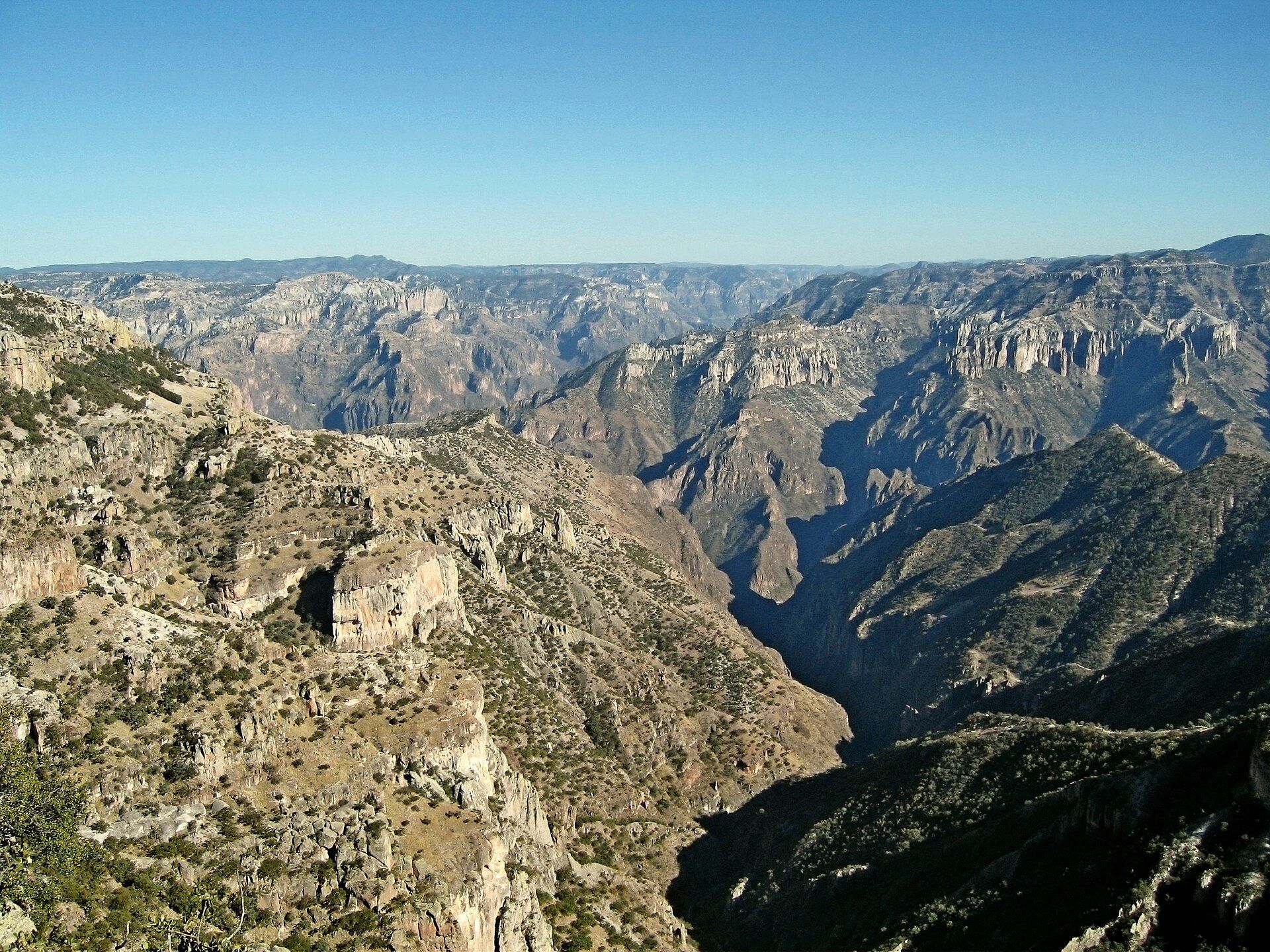
Copper Canyon, or Barranca del Cobre, is not one canyon but a system of at least six, carved by rivers into the volcanic rock of the Sierra Tarahumara over millions of years. Together they form a labyrinth far larger than the Grand Canyon, and several are deeper — plunging well over 1,800 metres from pine-forested rims to subtropical valleys where the climate changes with the depth. The green-tinged rock that gives the canyon its name, and the vast scale of the gorges, make it one of North America's great and least-crowded landscapes.
Why visit
The classic way to experience it is aboard the Chepe railway, which climbs and tunnels through the mountains on one of the world's most dramatic train journeys, past dizzying viewpoints and cliff-edge villages. Hiking and horseback trails drop into the canyons, cable cars and ziplines span the rims, and everywhere is the enduring culture of the Rarámuri (Tarahumara), the indigenous people famous for their long-distance running across this rugged country.
More views of Copper Canyon
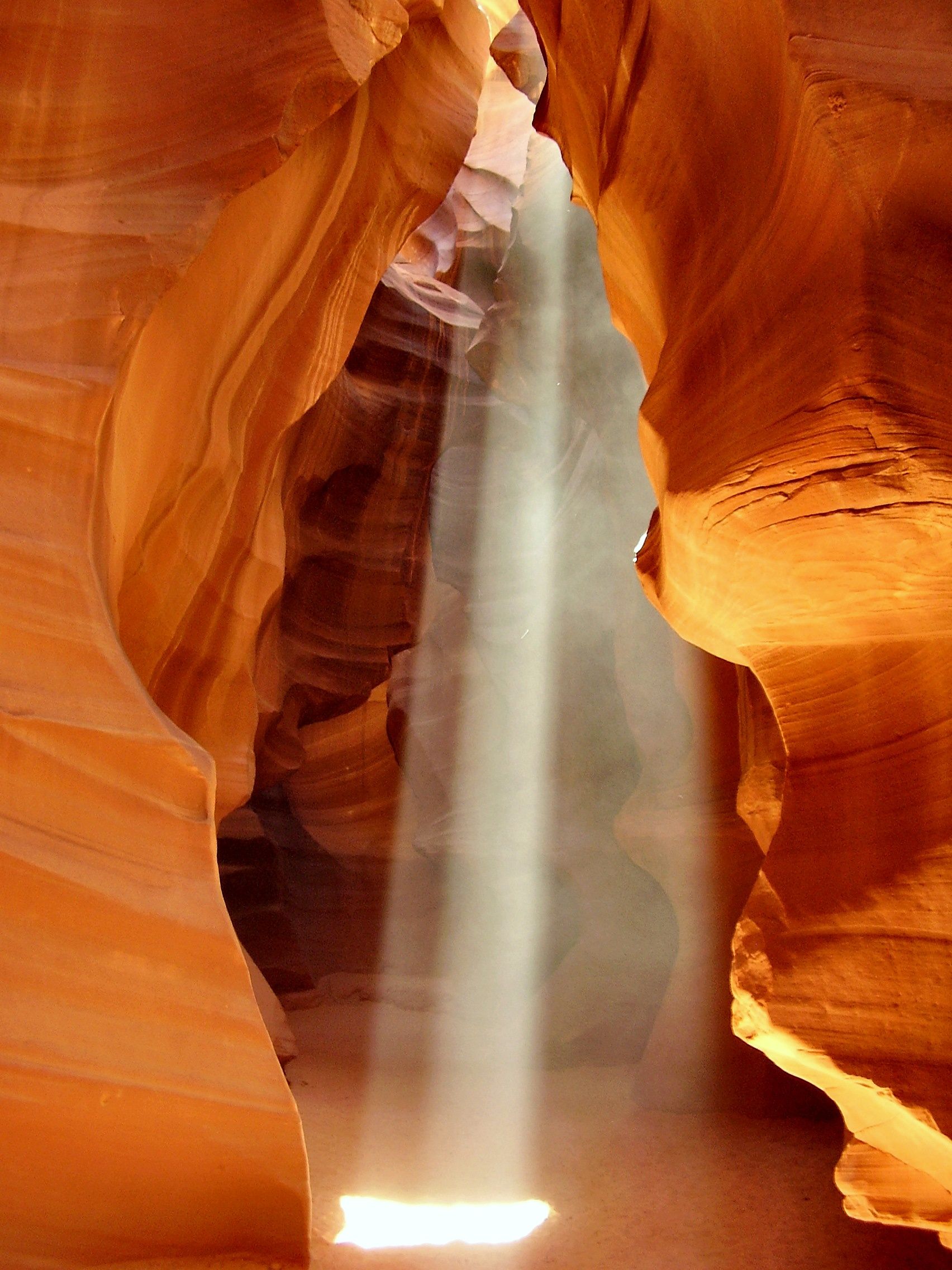
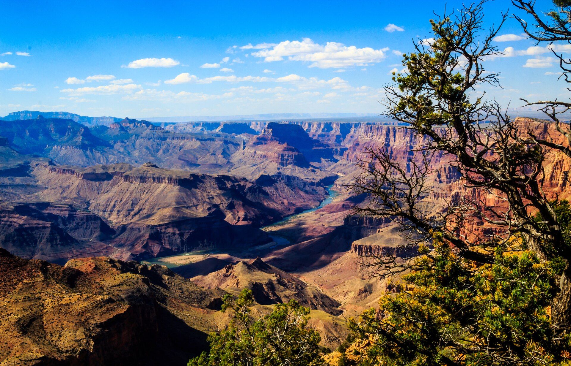
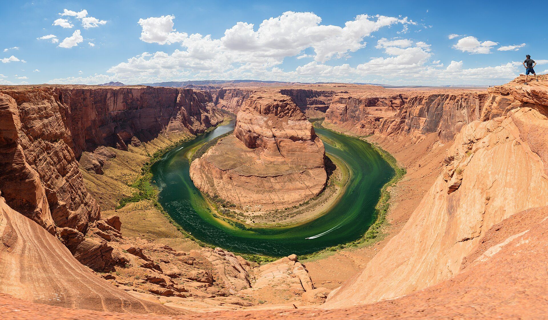
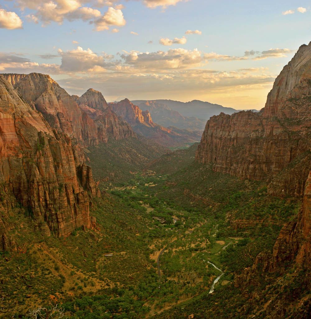
Additional photographs of the actual site — each freely licensed, with its photographer and licence credited.
What to know before you go
🗓️ Best time
Autumn to spring (roughly October to April) for comfortable temperatures on the rim; the canyon floors stay warm, and summer brings the rains that green the slopes.
🧭 Getting there & access
Reached via the Chepe railway between Los Mochis on the Pacific coast and Chihuahua city, stopping at rim towns like Creel and Divisadero. Flights serve Chihuahua and Los Mochis; the train is the signature way in.
Good to know
- Ride the Chepe railway for the classic journey, and break the trip at Divisadero for the viewpoints.
- Base in Creel or Divisadero to hike, ride, or take the cable car into the canyons.
- Respect the Rarámuri communities and buy their crafts directly to support them.
Plan your visit
Moderate🧭 Getting there
From Chihuahua (CUU) or Los Mochis (LMM), Mexico
- Fly to Chihuahua or Los Mochis
- Board the Chepe railway toward the canyon rim towns
- Break the journey at Divisadero or Creel for viewpoints and trails
- Total travel
- A full day on the train each way; best as a multi-day trip
- Time at site
- 2–4 days to ride the railway and explore the rim and canyons
- Access
- The railway is ticketed and runs on a set schedule; book seats ahead in peak season. Rim viewpoints, cable cars, and adventure parks charge fees; hiking into the canyons is best with a local guide.
🎒 What to bring & consider
- Layers — the rim is high and cool, the canyon floors warm
- Sturdy shoes for rim trails and canyon descents
- Cash for the smaller towns and Rarámuri crafts
- Time; the region rewards a slow, multi-day pace
👁️ What to expect
- Crowds
- Far quieter than North America's famous canyons; the train and Divisadero are the busiest points.
- Conditions
- A comfortable rail journey plus rugged, steep hiking if you descend; big temperature swings by elevation.
- Facilities
- Hotels and services in Creel, Divisadero, and the rail towns; little deep in the canyons.
- The view
- The canyons falling away from Divisadero, or the Chepe train on a cliff-edge curve. Clear, cool-season days give the best long views.
Times and requirements are approximate and change with season, weather, and local rules — confirm permits, fares, and schedules with operators before you travel.
Natural riches of the area
- A system of six canyons deeper in places than the Grand Canyon
- Pine-forested rims dropping to subtropical valleys
- Rivers, waterfalls, and dramatic volcanic rock
- Rich wildlife and the homeland of the Rarámuri people
Local food
- Machaca
- Dried, spiced shredded beef, a staple of northern Mexican cooking.
- Queso menonita
- A mild Chihuahua cheese made by the region's Mennonite communities.
Copper Canyon is one of North America’s grandest and least-known landscapes. In the Sierra Tarahumara of northern Mexico, rivers have carved a whole system of canyons — at least six major ones — into the volcanic highlands, together far larger than the Grand Canyon and, in several places, deeper. From pine-forested rims the gorges plunge more than 1,800 metres to warm valleys below, so that a single canyon can hold alpine forest at the top and subtropical greenery at the bottom, and the rock’s coppery-green tint gives the place its name.
The signature way to see it is the Chepe railway, which threads the mountains between the Pacific coast and Chihuahua on one of the world’s most spectacular train rides, pausing at rim towns and viewpoints where the land simply drops away. Beyond the train, trails descend into the canyons on foot and horseback, cable cars span the rims, and throughout lives the resilient culture of the Rarámuri, the indigenous people renowned the world over for running vast distances across this rugged terrain.
Copper Canyon: common questions
How do you get to Copper Canyon?
From Chihuahua (CUU) or Los Mochis (LMM), Mexico: Fly to Chihuahua or Los Mochis; Board the Chepe railway toward the canyon rim towns; Break the journey at Divisadero or Creel for viewpoints and trails. Total travel time: A full day on the train each way; best as a multi-day trip.
When is the best time to visit Copper Canyon?
Autumn to spring (roughly October to April) for comfortable temperatures on the rim; the canyon floors stay warm, and summer brings the rains that green the slopes.
How long should you spend at Copper Canyon?
2–4 days to ride the railway and explore the rim and canyons. Total travel time: A full day on the train each way; best as a multi-day trip.
What should you bring to Copper Canyon?
Layers — the rim is high and cool, the canyon floors warm Sturdy shoes for rim trails and canyon descents Cash for the smaller towns and Rarámuri crafts Time; the region rewards a slow, multi-day pace
Do you need a permit or guide for Copper Canyon?
The railway is ticketed and runs on a set schedule; book seats ahead in peak season. Rim viewpoints, cable cars, and adventure parks charge fees; hiking into the canyons is best with a local guide.
Is Copper Canyon crowded, and what are conditions like?
Far quieter than North America's famous canyons; the train and Divisadero are the busiest points. A comfortable rail journey plus rugged, steep hiking if you descend; big temperature swings by elevation. Facilities: Hotels and services in Creel, Divisadero, and the rail towns; little deep in the canyons.
Added
More wonders to explore