Chimborazo
📍 Chimborazo Province, Ecuador, near Riobamba
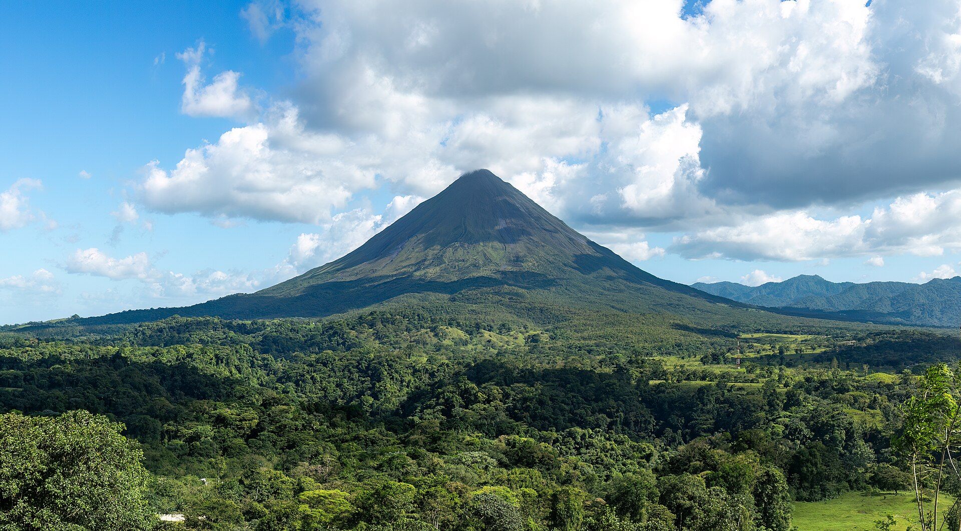
Ecuador's highest mountain — an ice-capped volcano whose summit, thanks to the equatorial bulge, is the farthest point on Earth's surface from the planet's centre.
What makes it marvelous
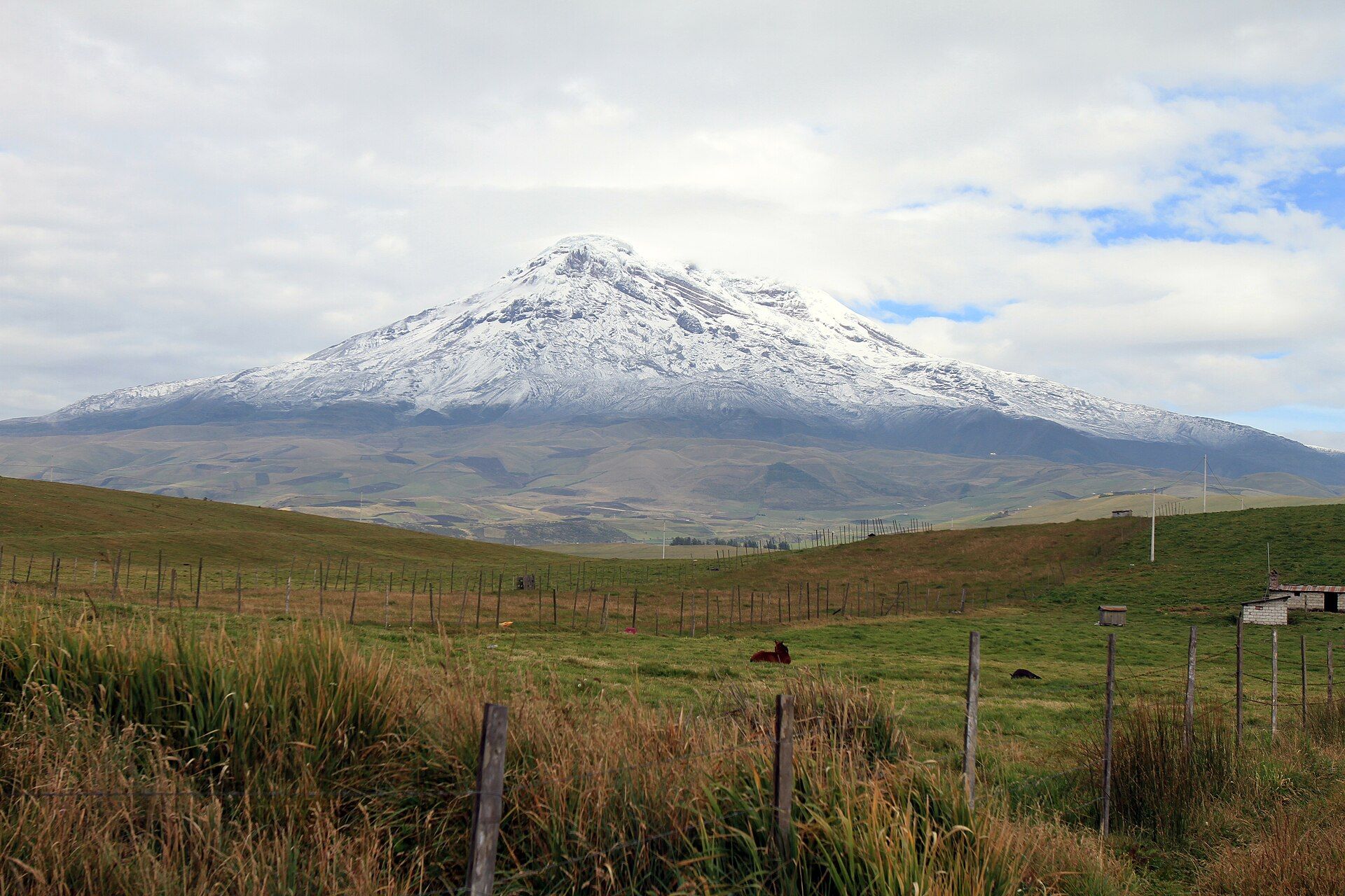
Chimborazo rises to about 6,263 m, the highest peak in Ecuador. Because it stands almost on the equator, where the Earth bulges outward, its summit is about 6,384 km from the centre of the planet — roughly 2.1 km farther than the summit of Everest. The volcano last erupted around 550 AD and is capped with glaciers that supply water to the surrounding provinces, though the ice has been shrinking for decades.
Why visit
You can drive to around 4,850 m at the Carrel refuge and walk up to the Whymper refuge at about 5,000 m, among vicuñas grazing the high páramo of the Chimborazo reserve — one of the highest points most travellers will ever reach on foot.
What to know before you go
🗓️ Best time
December–January and June–July are the best windows for clear weather; climbers usually attempt the summit from December to February and June to September.
🧭 Getting there & access
Riobamba, about 30 km to the southeast, is the usual base. A road leads to the Carrel refuge at about 4,850 m; the summit is a serious mountaineering climb requiring a guide.
Good to know
- Acclimatise for several days before going high — the refuges are above 4,800 m.
- Climbing to the summit needs a certified mountain guide and glacier equipment.
- Look for vicuñas on the páramo on the drive up.
Plan your visit
Strenuous🧭 Getting there
From Riobamba, Ecuador
- Travel south from Quito to Riobamba
- Drive up to the Carrel refuge at about 4,850 m
- Walk up to the Whymper refuge at about 5,000 m
- Total travel
- Riobamba is about 150 km south of Quito by road
- Time at site
- A day trip to the refuges; 2–3 days with a guide for a summit attempt
- Access
- Inside the Chimborazo Fauna Production Reserve. The refuge walk is open to acclimatised visitors; summit climbs are glaciated and need a certified guide.
🎒 What to bring & consider
- Several days of acclimatisation in the highlands
- Warm, windproof clothing, gloves and a hat
- Sun protection for high altitude
- A certified guide for anything beyond the refuges
👁️ What to expect
- Crowds
- Day-trippers reach the refuges; the summit sees only small guided parties.
- Conditions
- Thin air, cold and wind; weather changes quickly.
- Facilities
- Mountain refuges with basic services.
- The view
- The full ice-capped cone from the páramo, with vicuñas in the foreground.
Times and requirements are approximate and change with season, weather, and local rules — confirm permits, fares, and schedules with operators before you travel.
Natural riches of the area
- Ecuador's highest peak, about 6,263 m
- The farthest summit from Earth's centre
- Glaciers feeding the surrounding provinces
- Vicuñas, llamas and alpacas in the fauna reserve
Local food
- Hornado
- Slow-roasted pork, a speciality of the central highlands.
- Llapingachos
- Potato patties stuffed with cheese, served with peanut sauce.
Everest is the highest mountain above sea level, but Chimborazo holds another record. Because the Earth bulges at the equator and this ice-capped volcano stands about one degree south of it, its 6,263 m summit is roughly 2.1 km farther from the centre of the planet than Everest’s — the closest point on land to the stars.
The mountain’s history is written in climbing records. In 1802 Alexander von Humboldt and his companions reached about 5,875 m before turning back, then the greatest height anyone was known to have climbed. The first ascent came only in 1880, when Edward Whymper reached the summit — and climbed it again later that year by a different route to answer those who doubted him.
You don’t have to be a mountaineer to feel its scale. A road climbs to the Carrel refuge at about 4,850 m, and from there a short, breathless walk leads to the Whymper refuge at about 5,000 m. Vicuñas graze the surrounding páramo, protected in the Chimborazo reserve, while the glaciers above — shrinking in recent decades — still feed rivers far below.
Chimborazo: common questions
How do you get to Chimborazo?
From Riobamba, Ecuador: Travel south from Quito to Riobamba; Drive up to the Carrel refuge at about 4,850 m; Walk up to the Whymper refuge at about 5,000 m. Total travel time: Riobamba is about 150 km south of Quito by road.
When is the best time to visit Chimborazo?
December–January and June–July are the best windows for clear weather; climbers usually attempt the summit from December to February and June to September.
How long should you spend at Chimborazo?
A day trip to the refuges; 2–3 days with a guide for a summit attempt. Total travel time: Riobamba is about 150 km south of Quito by road.
What should you bring to Chimborazo?
Several days of acclimatisation in the highlands Warm, windproof clothing, gloves and a hat Sun protection for high altitude A certified guide for anything beyond the refuges
Do you need a permit or guide for Chimborazo?
Inside the Chimborazo Fauna Production Reserve. The refuge walk is open to acclimatised visitors; summit climbs are glaciated and need a certified guide.
Is Chimborazo crowded, and what are conditions like?
Day-trippers reach the refuges; the summit sees only small guided parties. Thin air, cold and wind; weather changes quickly. Facilities: Mountain refuges with basic services.
Added