Quilotoa
📍 Cotopaxi Province, Ecuadorian Andes
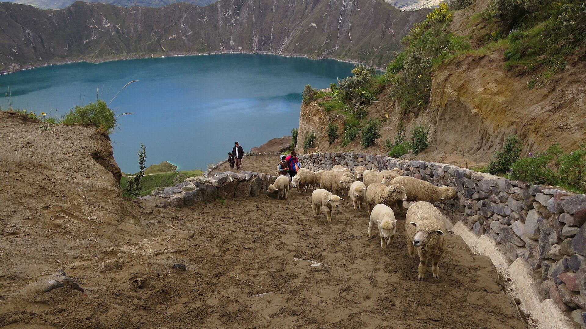
A green crater lake inside a 3 km-wide volcanic caldera high in the Ecuadorian Andes — reached by walking down from the rim.
What makes it marvelous
Quilotoa is the westernmost volcano of the Ecuadorian Andes. Its caldera, about 3 km across, formed in a huge eruption around 800 years ago and is now filled by a lake some 250 m deep, its surface at about 3,500 m above sea level. Dissolved minerals give the water its green colour, and the rim rises to nearly 3,915 m above it.
Why visit
Few volcanoes let you walk all the way around and then down to the water. The rim trail circles the whole caldera, the path down to the lake drops about 280 m, and the village on the rim is a stop on the Quilotoa Loop, a multi-day walk between Andean villages.
What to know before you go
🗓️ Best time
Clear mornings are best year-round — cloud and fog often roll in by afternoon.
🧭 Getting there & access
Buses run from Latacunga to the village of Quilotoa on the rim, passing Zumbahua 17 km to the south. A path leads from the village down to the lake.
Good to know
- Go early — fog often hides the lake by afternoon.
- The walk down takes about 30 minutes; the climb back up takes 1–2 hours at altitude.
- The full rim hike is about 10 km and takes 4–5 hours.
Plan your visit
Moderate🧭 Getting there
From Latacunga, Ecuador
- Travel from Quito south to Latacunga
- Bus or drive west via Zumbahua to Quilotoa village on the rim
- Walk down to the lake, or around the rim
- Total travel
- A day's travel from Quito via Latacunga
- Time at site
- Half a day; overnight to walk the rim or the Quilotoa Loop
- Access
- The village sits on the rim; the path to the lake is steep and sandy. There is basic lodging at the bottom but no potable water except bottled water.
🎒 What to bring & consider
- Warm, windproof layers for high altitude
- Sun protection
- Water and snacks for the climb back up
- Time to acclimatise
👁️ What to expect
- Crowds
- Day-trippers gather at the rim viewpoint mid-morning; the rim trail is quieter.
- Conditions
- Cold, windy and often foggy, at around 3,500–3,900 m.
- Facilities
- Hostels and restaurants in the rim village; very basic services at the lake.
- The view
- The green lake from the rim viewpoint on a clear morning.
Times and requirements are approximate and change with season, weather, and local rules — confirm permits, fares, and schedules with operators before you travel.
Natural riches of the area
- A caldera about 3 km wide
- A crater lake about 250 m deep, coloured green by minerals
- High Andean páramo grassland
Local food
- Locro de papa
- Andean potato soup with cheese and avocado, a highland staple.
- Choclo con queso
- Large-kernel Andean corn with fresh cheese.
Quilotoa is a volcano you can walk into. About 800 years ago a massive eruption emptied its magma chamber and the summit collapsed, leaving a caldera about 3 km wide. Today it holds a lake roughly 250 m deep, its water tinted green by dissolved minerals, sitting at about 3,500 m in the Andes of Cotopaxi Province.
The village of Quilotoa perches on the rim, and from there the whole crater opens beneath you. A steep, sandy path drops about 280 m to the shore — a 30-minute walk down and a slow, breathless 1–2 hours back up at this altitude. For more, the rim trail circles the entire caldera in about 10 km, and the village is a stop on the Quilotoa Loop, a multi-day walk through the highland communities around it.
Come early in the day: fog often fills the crater by afternoon, and the wind on the rim is cold year-round.
Quilotoa: common questions
How do you get to Quilotoa?
From Latacunga, Ecuador: Travel from Quito south to Latacunga; Bus or drive west via Zumbahua to Quilotoa village on the rim; Walk down to the lake, or around the rim. Total travel time: A day's travel from Quito via Latacunga.
When is the best time to visit Quilotoa?
Clear mornings are best year-round — cloud and fog often roll in by afternoon.
How long should you spend at Quilotoa?
Half a day; overnight to walk the rim or the Quilotoa Loop. Total travel time: A day's travel from Quito via Latacunga.
What should you bring to Quilotoa?
Warm, windproof layers for high altitude Sun protection Water and snacks for the climb back up Time to acclimatise
Do you need a permit or guide for Quilotoa?
The village sits on the rim; the path to the lake is steep and sandy. There is basic lodging at the bottom but no potable water except bottled water.
Is Quilotoa crowded, and what are conditions like?
Day-trippers gather at the rim viewpoint mid-morning; the rim trail is quieter. Cold, windy and often foggy, at around 3,500–3,900 m. Facilities: Hostels and restaurants in the rim village; very basic services at the lake.
Added
More wonders to explore
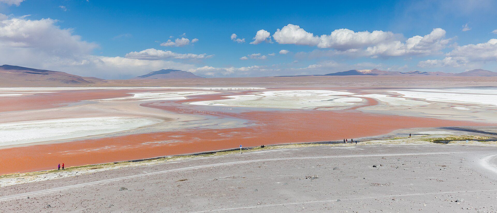
Laguna Colorada
Eduardo Avaroa Andean Fauna National Reserve, Sur Lípez, Potosí Department, southwestern Bolivia