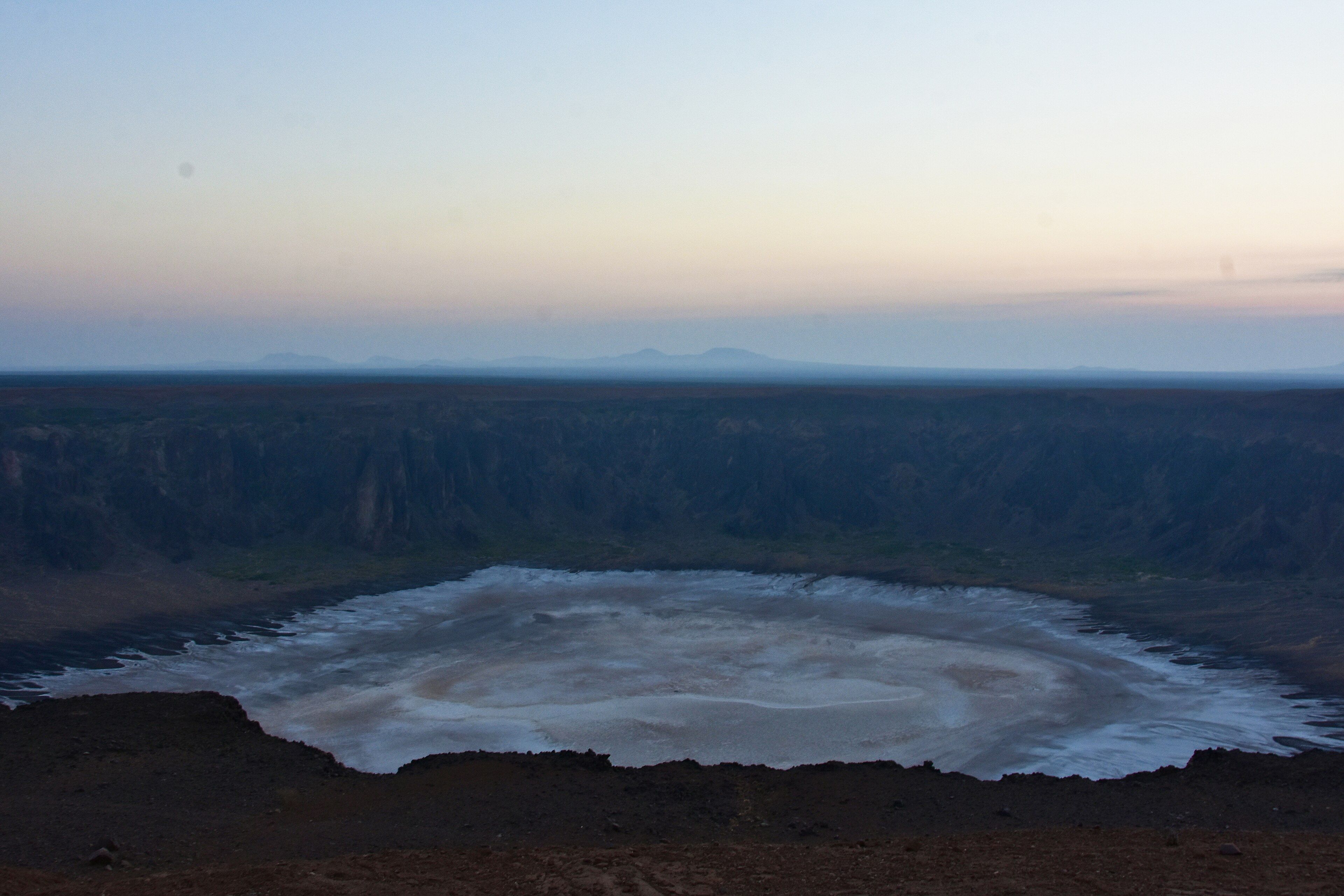
Pacaya
📍 Escuintla, near Antigua, southern Guatemala
One of Central America's most active volcanoes, an accessible cone near Antigua where hikers walk over old lava fields toward the glow of a restless summit.
What makes it marvelous
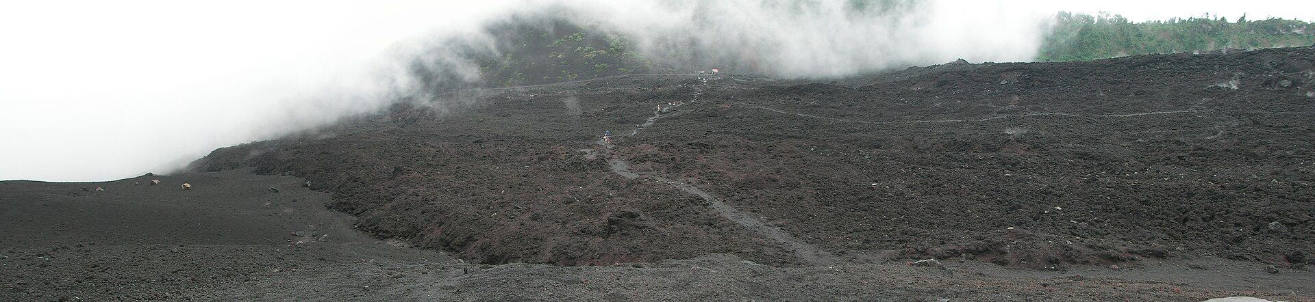
Pacaya is a complex volcano on Guatemala's volcanic chain, part of the Pacific Ring of Fire, and one of the most persistently active in Central America — it reawakened in the 1960s after a long sleep and has been erupting on and off ever since. Its slopes are layered with black lava flows and cinder from decades of activity, and vents near the top often glow or spatter, sometimes sending lava down its flanks. It rises within a national park an easy distance from the colonial city of Antigua.
Why visit
Pacaya offers something rare: a genuinely active volcano you can hike up in a morning. Trails climb through forest and out onto stark fields of hardened lava, with the smoking cone ahead and views across a line of neighbouring volcanoes. When activity allows, guides lead visitors close enough to feel the heat radiating from recent flows — a vivid, safe-distance encounter with the living Earth.
What to know before you go
🗓️ Best time
The dry season (roughly November to April) gives the clearest views and firmest trails; whatever the season, check the current activity level before you go, as access changes with the volcano's mood.
🧭 Getting there & access
About 1.5–2 hours by road from Antigua or Guatemala City to the village of San Francisco de Sales, the trailhead in Pacaya National Park. Entry requires a ticket and, in practice, a local guide; horses can be hired for part of the climb.
Good to know
- Check INSIVUMEH (Guatemala's volcano institute) for the current alert level before booking.
- Wear closed shoes with good soles — the lava rock is sharp and abrasive.
- Go for a sunrise or sunset hike when any glow is most visible; bring a headlamp.
Plan your visit
Moderate🧭 Getting there
From Guatemala City (GUA) or Antigua
- Fly to Guatemala City
- Road to Antigua, then to the San Francisco de Sales trailhead — about 1h30–2h total
- On foot (or partly by hired horse) up the marked trail toward the cone
- Total travel
- A half-day trip from Antigua
- Time at site
- 3–4 hours round trip on the trail, plus travel
- Access
- National park ticket and a local guide are required; the route and how close you may approach depend entirely on the current activity level, which is set by the authorities. Access can be restricted or closed during stronger eruptions.
🎒 What to bring & consider
- Sturdy closed shoes — the lava rock shreds soft soles
- Warm and windproof layers for the exposed upper slopes
- A headlamp for sunrise/sunset hikes, plus water and snacks
- A check of the official alert level before you commit
👁️ What to expect
- Crowds
- A popular half-day from Antigua, busiest on the standard afternoon tours; sunrise hikes are quieter.
- Conditions
- A steady climb through forest onto loose, sharp volcanic ground; exposed and cool near the top.
- Facilities
- Guides, horses, and basic services at the trailhead village; nothing on the upper mountain.
- The view
- The glowing or smoking cone at dusk, or lava fields with distant volcanoes beyond. What you see depends on the volcano — always check activity first.
Times and requirements are approximate and change with season, weather, and local rules — confirm permits, fares, and schedules with operators before you travel.
Natural riches of the area
- An active stratovolcano and its fresh lava fields
- Volcanic cinder, ash, and geothermal heat
- Pine forest on the lower slopes within the national park
- Fertile volcanic soils that feed the surrounding highlands
Local food
- Pepián
- One of Guatemala’s national dishes — a deep, spiced meat-and-vegetable stew.
- Rellenitos
- Sweet fried plantain filled with mashed black beans.
Pacaya lets you stand, safely, at the edge of a working volcano. Part of Guatemala’s line of highland cones on the Pacific Ring of Fire, it woke from a long sleep in the 1960s and has been erupting on and off ever since, layering its slopes with black lava and cinder and often keeping a glow or a plume at its summit. Yet unlike many active volcanoes, it can be climbed in a single morning from the nearby colonial city of Antigua.
The hike leads through pine forest and then out onto stark fields of hardened lava, the smoking cone rising ahead and a row of neighbouring volcanoes stretching across the horizon. When the mountain is calm enough, guides bring visitors close to recent flows, where the rock still radiates heat — an unforgettable, immediate brush with the living planet. Because that mood changes, the golden rule is simple: check the official activity level first, and go with a guide who knows the mountain.
Pacaya: common questions
How do you get to Pacaya?
From Guatemala City (GUA) or Antigua: Fly to Guatemala City; Road to Antigua, then to the San Francisco de Sales trailhead — about 1h30–2h total; On foot (or partly by hired horse) up the marked trail toward the cone. Total travel time: A half-day trip from Antigua.
When is the best time to visit Pacaya?
The dry season (roughly November to April) gives the clearest views and firmest trails; whatever the season, check the current activity level before you go, as access changes with the volcano's mood.
How long should you spend at Pacaya?
3–4 hours round trip on the trail, plus travel. Total travel time: A half-day trip from Antigua.
What should you bring to Pacaya?
Sturdy closed shoes — the lava rock shreds soft soles Warm and windproof layers for the exposed upper slopes A headlamp for sunrise/sunset hikes, plus water and snacks A check of the official alert level before you commit
Do you need a permit or guide for Pacaya?
National park ticket and a local guide are required; the route and how close you may approach depend entirely on the current activity level, which is set by the authorities. Access can be restricted or closed during stronger eruptions.
Is Pacaya crowded, and what are conditions like?
A popular half-day from Antigua, busiest on the standard afternoon tours; sunrise hikes are quieter. A steady climb through forest onto loose, sharp volcanic ground; exposed and cool near the top. Facilities: Guides, horses, and basic services at the trailhead village; nothing on the upper mountain.
Added
More wonders to explore
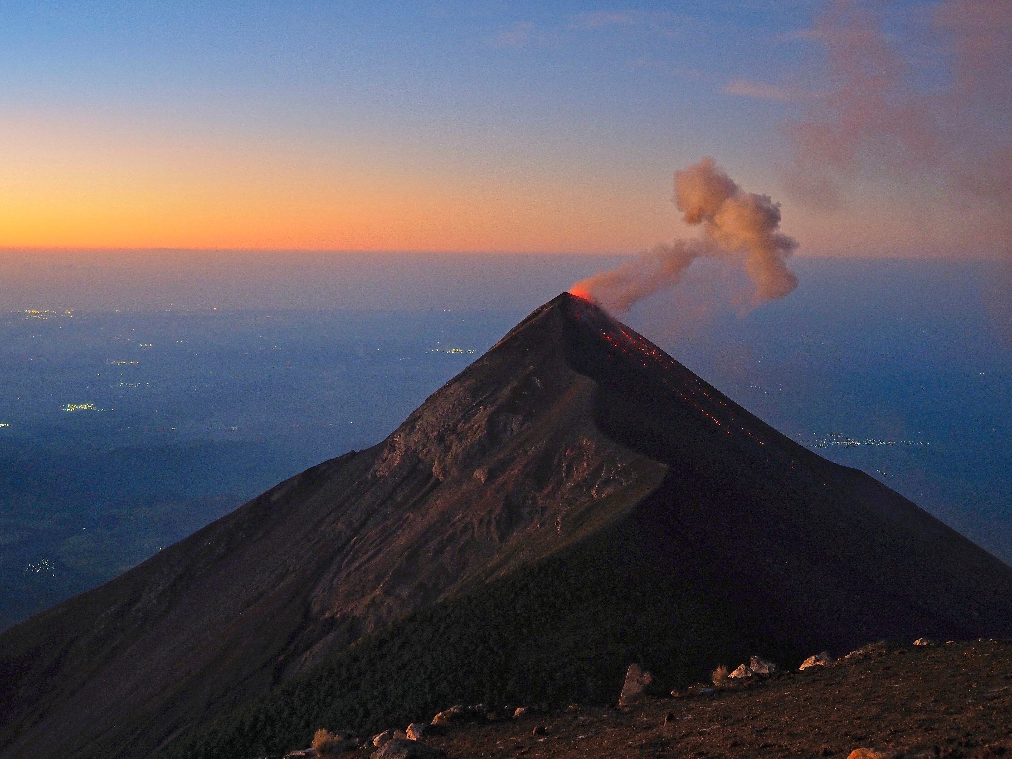
Acatenango
Sacatepéquez and Chimaltenango Departments, near Antigua, Guatemala
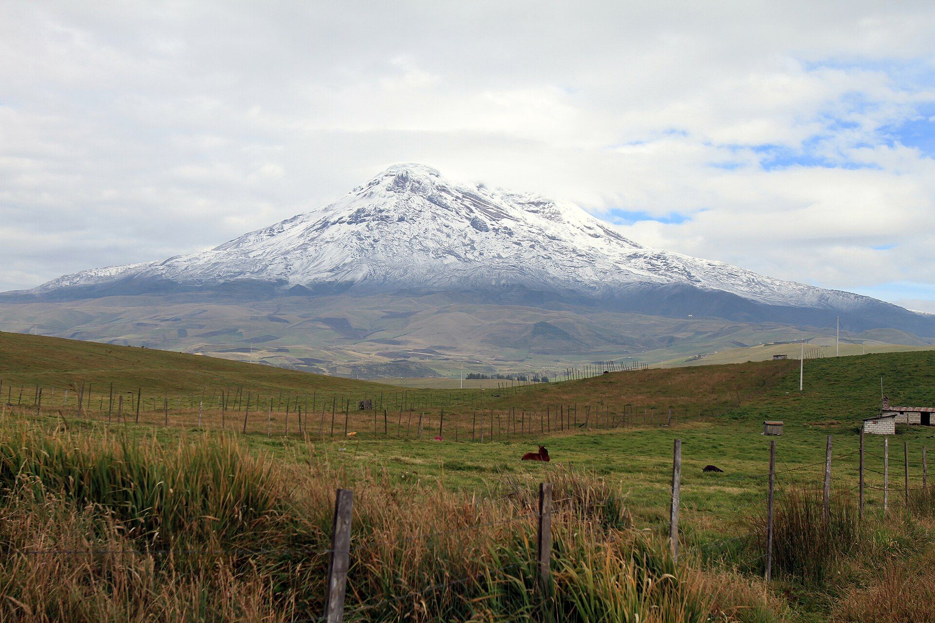
Sajama National Park
Western Altiplano, Oruro Department, Bolivia, on the border with Chile