Ometepe
📍 Lake Nicaragua, Rivas Department, southwestern Nicaragua
Two volcanoes standing in a freshwater lake and joined at the base into a single hourglass island — one still erupting, the other carrying a crater lake and cloud forest.
What makes it marvelous
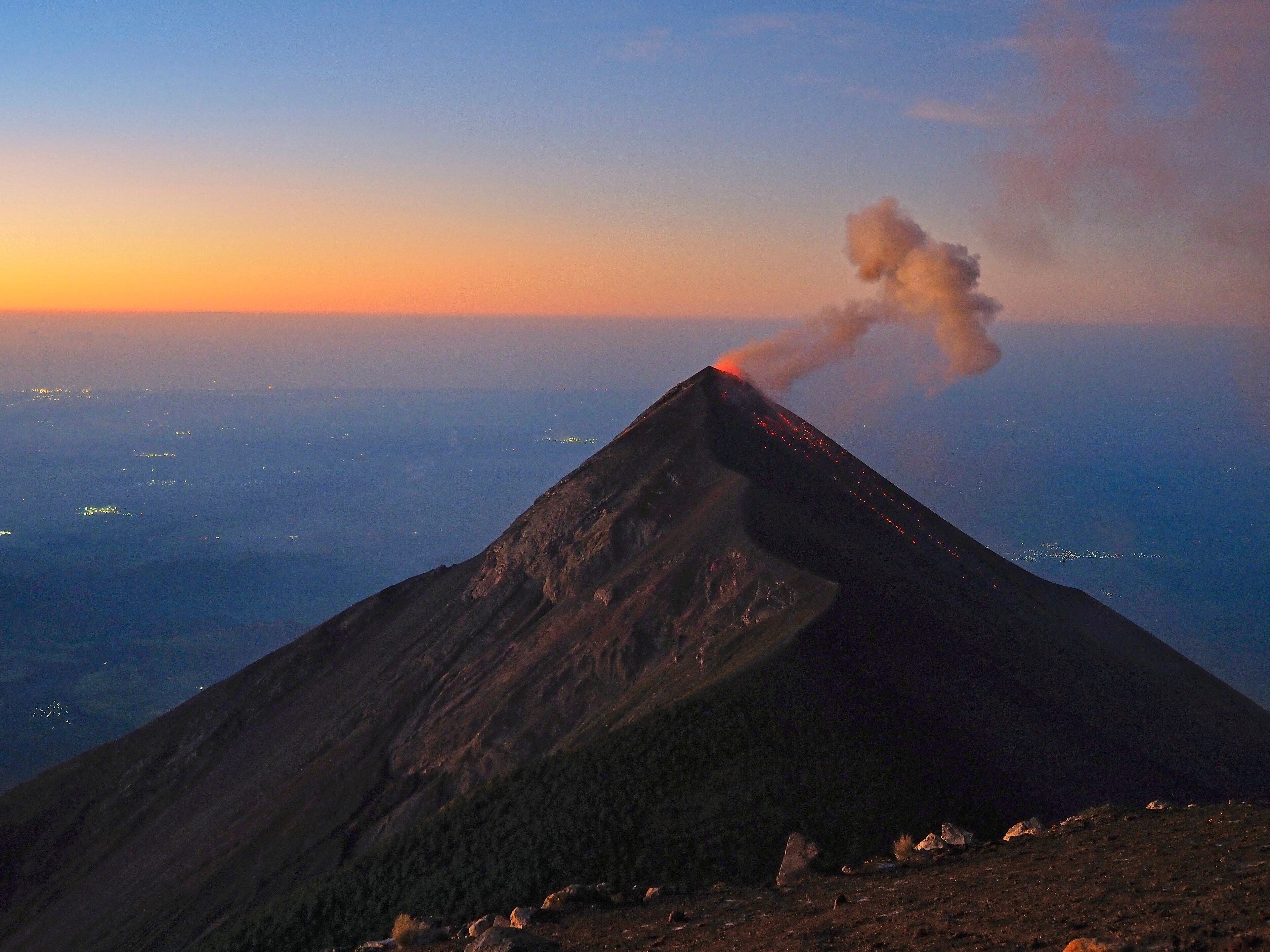
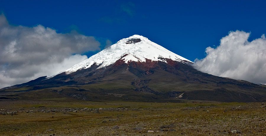
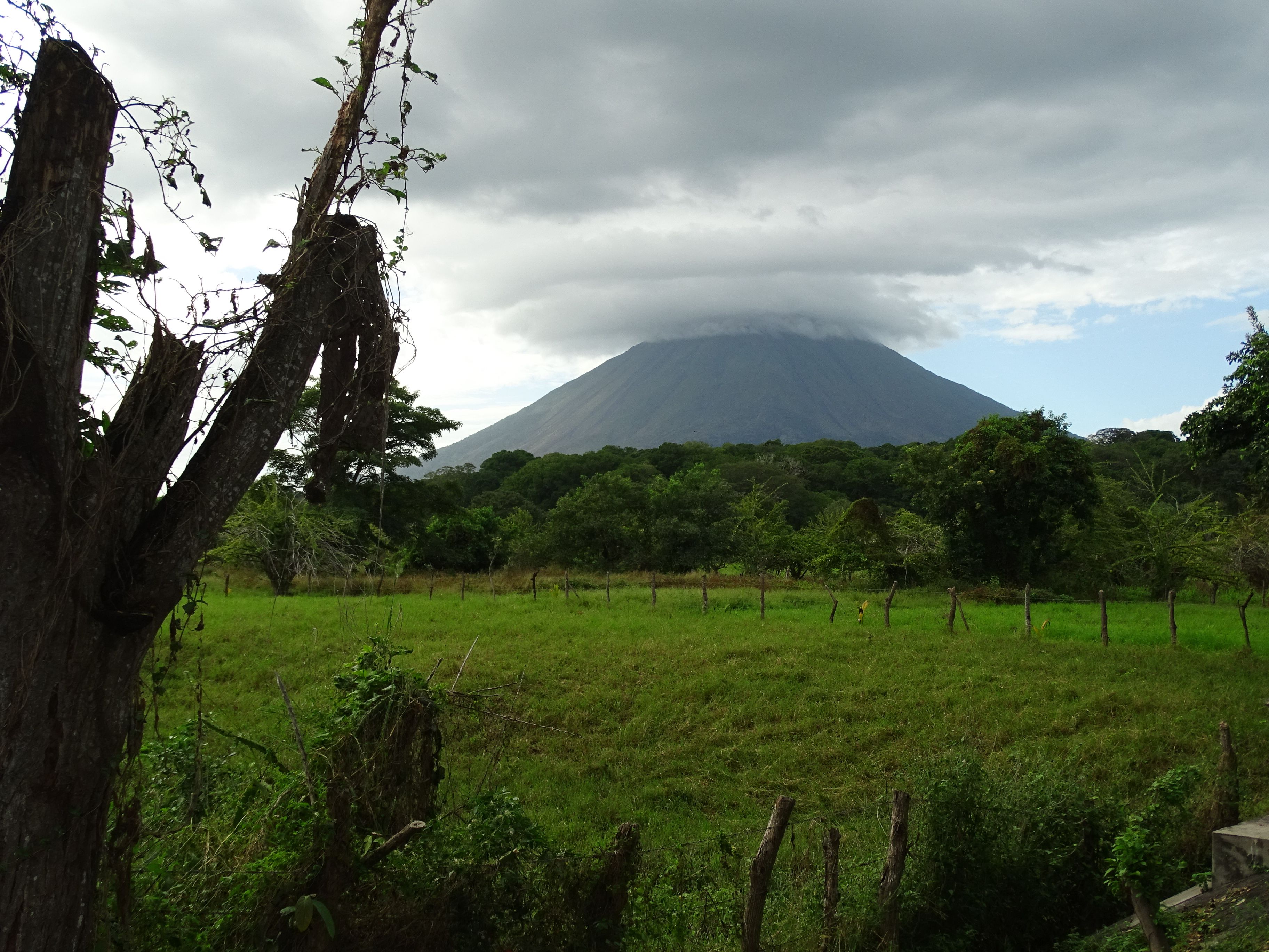
Ometepe is an island made entirely of two volcanoes that grew close enough together to merge. Concepción, at 1,610 metres, forms the northwestern half: an active stratovolcano with a strikingly symmetrical cone, resting on a kilometre-thick base of lake mudstones, which has erupted at least 25 times since 1883 and vents fumaroles just north of its summit crater. Maderas, at 1,394 metres, forms the southeast and has not erupted in historical times; it holds a crater lake at its top and carries cloud forest on its upper slopes — one of only two places on Nicaragua's whole Pacific side where that habitat occurs. A low isthmus joins them into a single island of 276 square kilometres, 31 kilometres long and between five and ten wide, sitting in Lake Nicaragua, which is the largest lake in Central America. The name comes from the Nawat words for two and mountain.
Why visit
It is a genuinely strange geography to stand in: an inland sea with two volcanoes rising straight out of it, one smoking and one green. Both can be climbed in a day, and they are completely different climbs — Concepción is bare ash and scree with enormous views, Maderas is a muddy scramble through humid forest to a lake in the crater. Between them the island is flat farmland, plantains and quiet roads, which makes it one of the easier places in Central America to spend a week doing very little.
What to know before you go
🗓️ Best time
December to April is the dry season and the practical window for climbing; the trails are still often muddy, because it rains on Ometepe in most months. May to November is wetter and greener, with cloud frequently covering both summits.
🧭 Getting there & access
Ferries cross from San Jorge, near Rivas, to Moyogalpa on the island's northwest side — around an hour, with several sailings a day. Rivas is about two hours from Managua and close to the Costa Rican border. A small airport opened on the island in 2014. Getting around is by bus, motorbike or hired car; the road circling Concepción is paved, the Maderas side much less so.
Good to know
- Take a guide for either summit. Both routes lose people, and Concepción's upper cone is loose ash with no shade.
- Maderas is muddy in every season — expect to be wet from the knees down.
- Concepción is an active volcano; check current activity before climbing and follow local advice.
- The round trip up either volcano is six to nine hours. Start before dawn.
Plan your visit
Strenuous🧭 Getting there
From Managua (MGA), Nicaragua
- Fly into Managua
- Travel about two hours south to Rivas and the ferry port at San Jorge
- Cross to Moyogalpa by ferry, roughly an hour
- Base near either volcano and climb from there
- Total travel
- Around half a day from Managua
- Time at site
- 3–5 days; more if you want both summits
- Access
- Ferries run to a timetable that thins out late in the day and can be suspended in rough weather on the lake. Guides for both volcanoes are hired in the villages at their bases and are effectively required on Concepción. Check current volcanic activity and any national travel advisories before planning.
🎒 What to bring & consider
- A guide for either summit climb
- Boots you do not mind ruining in Maderas mud
- Three litres of water minimum for Concepción; there is no shade on the cone
- Cash in córdobas; card acceptance on the island is limited
- Rain protection in any month
👁️ What to expect
- Crowds
- Modest. The island has a long-standing backpacker scene but numbers are small and spread out.
- Conditions
- Hot and humid at lake level. Steep loose ash on Concepción, deep mud and dense forest on Maderas.
- Facilities
- Guesthouses, hostels and small hotels around both volcanoes; nothing on either mountain.
- The view
- Concepción's cone rising straight out of the lake from the ferry crossing in early light, before the cloud settles on the summit.
Times and requirements are approximate and change with season, weather, and local rules — confirm permits, fares, and schedules with operators before you travel.
Natural riches of the area
- Concepción, 1,610 m — an active, near-symmetrical stratovolcano with summit fumaroles
- Maderas, 1,394 m — dormant, with a crater lake at its summit
- Cloud forest on Maderas, one of only two such stands on Nicaragua's Pacific side
- An island of 276 km² formed where two volcanoes grew together
- Lake Nicaragua, the largest lake in Central America, surrounding it
Local food
- Gallo pinto
- Rice and beans fried together, eaten at breakfast across Nicaragua.
- Vigorón
- Boiled cassava with cabbage salad and fried pork rind, served on a banana leaf.
- Plantains
- The island's main crop, eaten green as tostones or ripe as maduros.
- Guapote
- A freshwater fish from Lake Nicaragua, usually fried whole.
Lake Nicaragua is the largest lake in Central America, and standing in the middle of it are two volcanoes that grew until they touched. Concepción and Maderas are separate cones with separate histories, but their bases have merged into a low isthmus, and the result is a single hourglass-shaped island of 276 square kilometres. The Nawat name for it says exactly that: ome and tepetl, two mountains.
They could hardly be less alike. Concepción, on the northwest side, is 1,610 metres of near-perfect cone, built on a kilometre-thick bed of old lake mudstones, and it is very much still going — at least 25 eruptions since 1883, the most recent in May 2024, with fumaroles venting just north of the summit crater. Climbing it means several hours on loose ash and scree with no shade at all and, on a clear day, a view over the whole lake.
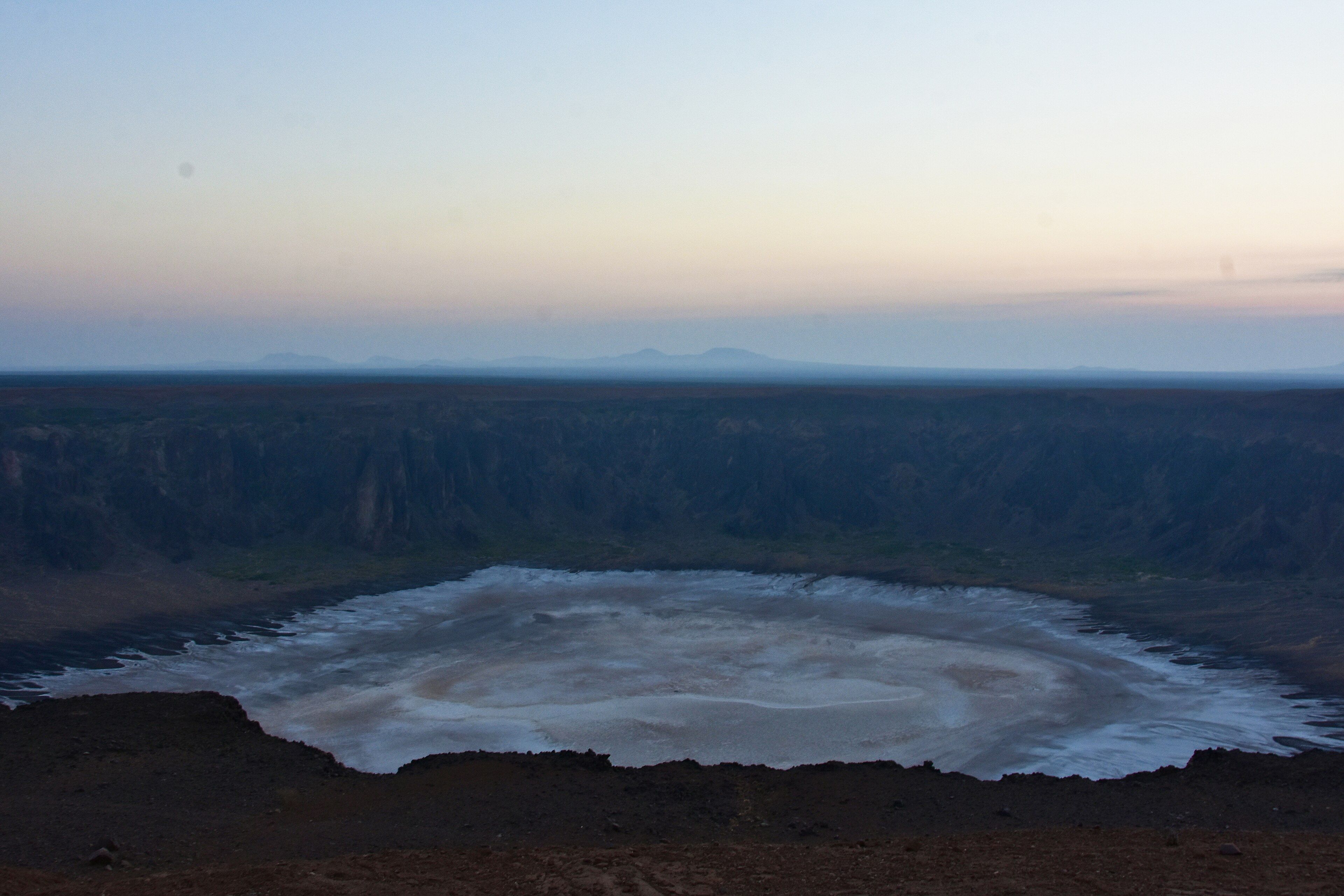
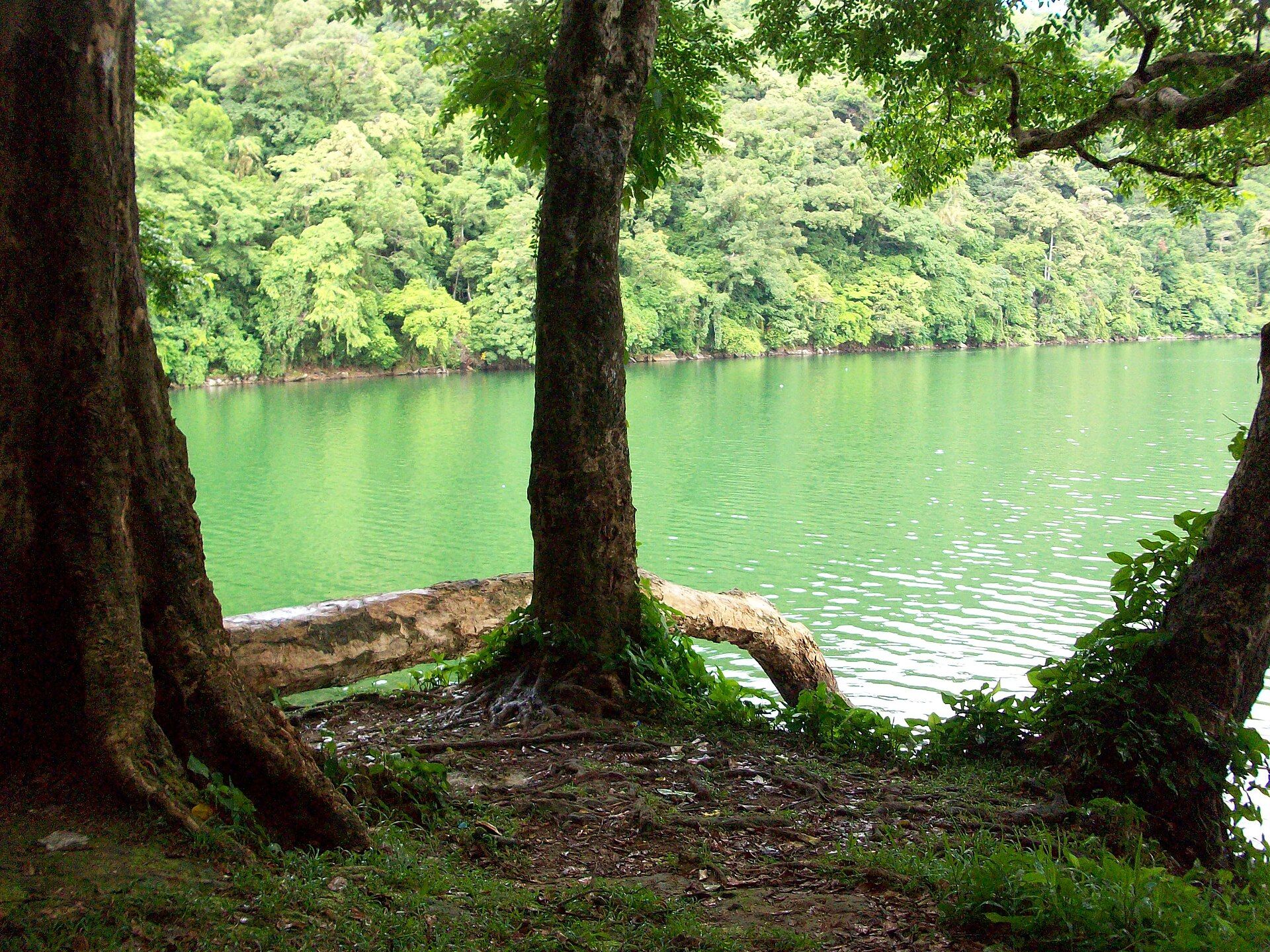
Maderas is the opposite. It has not erupted in historical times, it is green to the top, and its summit crater holds a lake. The upper slopes carry cloud forest — one of only two stands of it anywhere on Nicaragua’s Pacific side, kept alive by the humidity the lake throws at it. The climb is shorter and lower and considerably muddier, and howler monkeys are audible most of the way up.
Between the two, the island flattens out into farmland: plantains, cattle, a paved road round one volcano and a rough one round the other. That combination — dramatic geology, almost no development, and a ferry rather than a flight to get there — is why Ometepe has stayed the sort of place people go for a week and stay for three.
Ometepe: common questions
How do you get to Ometepe?
From Managua (MGA), Nicaragua: Fly into Managua; Travel about two hours south to Rivas and the ferry port at San Jorge; Cross to Moyogalpa by ferry, roughly an hour; Base near either volcano and climb from there. Total travel time: Around half a day from Managua.
When is the best time to visit Ometepe?
December to April is the dry season and the practical window for climbing; the trails are still often muddy, because it rains on Ometepe in most months. May to November is wetter and greener, with cloud frequently covering both summits.
How long should you spend at Ometepe?
3–5 days; more if you want both summits. Total travel time: Around half a day from Managua.
What should you bring to Ometepe?
A guide for either summit climb Boots you do not mind ruining in Maderas mud Three litres of water minimum for Concepción; there is no shade on the cone Cash in córdobas; card acceptance on the island is limited Rain protection in any month
Do you need a permit or guide for Ometepe?
Ferries run to a timetable that thins out late in the day and can be suspended in rough weather on the lake. Guides for both volcanoes are hired in the villages at their bases and are effectively required on Concepción. Check current volcanic activity and any national travel advisories before planning.
Is Ometepe crowded, and what are conditions like?
Modest. The island has a long-standing backpacker scene but numbers are small and spread out. Hot and humid at lake level. Steep loose ash on Concepción, deep mud and dense forest on Maderas. Facilities: Guesthouses, hostels and small hotels around both volcanoes; nothing on either mountain.
Added