🇳🇮 Natural wonders of Nicaragua
The largest country in Central America, built along a chain of active volcanoes and holding the region's biggest lake — with two of those volcanoes standing in the middle of it.
🗓️ Best time for nature: December to April is the dry season and the most reliable time for climbing and the Pacific coast. May to November is greener and wetter, with the heaviest rain and hurricane risk on the Caribbean side from August to October.
The lay of the land
Nicaragua is organised by a tectonic depression running the length of its Pacific side. The Cocos plate is subducting beneath the Caribbean plate offshore, and the result is the Marrabios chain — a line of young, active volcanoes running northwest to southeast, several of them erupting within any given decade. Behind that line the depression holds Lake Nicaragua, the largest lake in Central America, and Lake Managua. The interior rises into cooler central highlands with cloud forest and coffee, and the Caribbean side falls away into a wide, wet, sparsely populated lowland of rainforest, pine savanna and river delta — including the Indio Maíz reserve and the Bosawás Biosphere Reserve, one of the largest tracts of rainforest north of the Amazon.
Where to begin
-
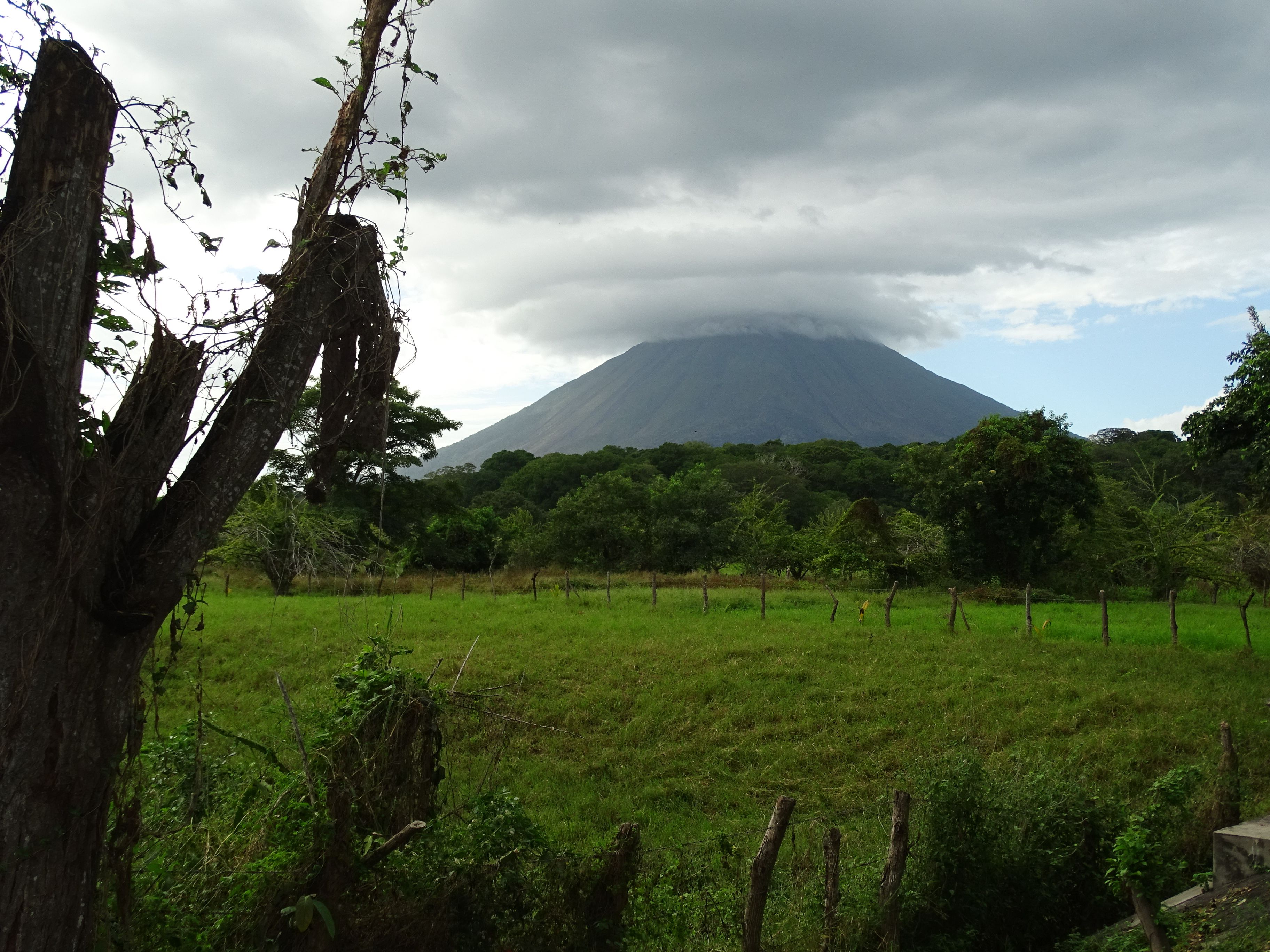
Ometepe
Two volcanoes joined into one island in the middle of Lake Nicaragua — one active, one carrying a crater lake.
A taste of the place
Nicaraguan cooking runs on maize, beans and plantain: gallo pinto at breakfast, vigorón of cassava and pork rind on a banana leaf, nacatamal wrapped and steamed at weekends, and freshwater fish from the lakes. Maize also turns up as drink, in pinolillo and chicha.
Traveling responsibly
- The Pacific side and the Caribbean side are effectively different countries in climate, language and travel logistics.
- Volcanic activity is normal here — check current status before climbing anything, and follow local guidance.
- Check your government's travel advice for Nicaragua before planning; conditions have changed in recent years.
Nicaragua’s shape is tectonic. Offshore in the Pacific, the Cocos plate is grinding down beneath the Caribbean plate, and the line where that happens has thrown up a chain of volcanoes running the length of the country’s western side — the Marrabios — several of which are active in any given decade. Inland of that chain the crust has dropped into a long depression, and the depression has filled with water: Lake Managua, and beyond it Lake Nicaragua, the largest lake in Central America.
The most striking thing the two processes have done together sits in the middle of that lake. Ometepe is a single island made of two volcanoes that grew until their bases merged — Concepción, still active and still symmetrical at 1,610 metres, and Maderas, dormant, green, with a lake in its summit crater and cloud forest on its upper slopes.
East of the volcanic line the country changes completely. The central highlands are cooler and grow coffee; beyond them the Caribbean lowland spreads out wet, flat and thinly populated, holding the Indio Maíz reserve and Bosawás, one of the largest continuous rainforests anywhere north of the Amazon. Getting between the two halves is genuinely difficult, which is a large part of why the eastern side has stayed as intact as it has.
Added
All wonders in Nicaragua
1 places