Haleakalā
📍 East Maui, Maui, Hawaiʻi, United States
The 10,023-ft shield volcano that makes up East Maui, its summit cut by a vast erosional 'crater' of red and black cinder cones. Haleakalā National Park climbs from the cinder desert at the top down to waterfalls and the Pools of ʻOheʻo on the coast.
What makes it marvelous
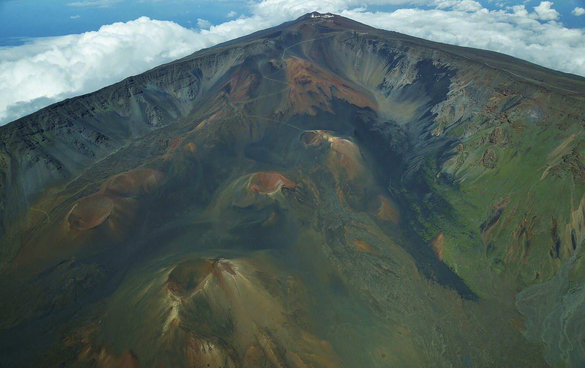
Haleakalā is the volcano that built East Maui. It began growing about 2 million years ago, and the US Geological Survey puts its volume at about 30,000 km³, with about 97% of it below sea level. It is not extinct: the USGS counts at least ten eruptions in the past 1,000 years, and the most recent came sometime between 1480 and 1600. The famous Haleakalā Crater is not a true volcanic crater at all. It is an erosional feature, a huge summit depression that opens at its north-west and south-east corners into large valleys draining to the north and south coasts. Its floor is an aeolian cinder desert of cinder cones and old lava flows. On the Keoneheʻeheʻe (Sliding Sands) Trail, the floor is 3.9 miles down from the visitor centre and almost 2,500 ft lower. This is where the Haleakalā silversword (ʻāhinahina) grows. It lives between 3 and 90 years or more, flowers once on a tall stalk and then dies.
Why visit
Stand at 10,023 ft above a cinder desert as the sun comes up over the clouds, then walk down into the 'crater' among red and black cinder cones — and on another day drive the Hāna Highway to the park's coastal Kīpahulu District for waterfalls and a bamboo forest.
Still deciding?
Haleakalā comes up most often against one other place — each one weighs cost, effort, season and crowds side by side.
What to know before you go
🗓️ Best time
The summit is open all year, but weather there is unpredictable. Mornings can fall to 32°F (0°C) or below and warm to 50–60°F (10–15°C) in the afternoon. Rain and wind are most common in the rainy season, November to March. Sunrise is the busiest time and needs a reservation; the coastal Kīpahulu District is warmer but wet all year.
🧭 Getting there & access
The park has two districts that are not connected by road inside the park. The Summit District is reached on 11 miles of paved road from the entrance station, climbing about 3,000 ft more to the summit; the National Park Service gives drive times to the summit of 45 minutes to an hour from Kahului, 1–1.5 hours from Kīhei and 1.5–2 hours from Lāhainā. The coastal Kīpahulu District is reached only by the Hāna Highway, 2.5–4 hours from those towns. A reservation through Recreation.gov is required for every vehicle entering the Summit District between 3:00 and 7:00 AM; the park entrance fee is charged separately, and the park does not accept cash.
Good to know
- Sunrise reservations open 60 days ahead at 7:00 AM Hawaiʻi time and often sell out within 15 minutes; more are released two days ahead. Without one you will be turned around until 7:00 AM.
- Bring warm, windproof and rain layers even in summer — the summit can be freezing at dawn and wind chill can push it below freezing at any time.
- The summit is over 10,000 ft. Watch for altitude sickness (nausea, headache, dizziness, shortness of breath), and allow twice as long to climb back out of the crater as you took to walk down.
- There is no food, fuel or supplies in the park. Stay on marked trails, which is required by law, to protect fragile silversword seedlings.
- Swimming is not recommended in ʻOheʻo Gulch because of flash floods and rock slides; check the park's alerts, as the pools have been closed to swimming.
Plan your visit
Moderate🧭 Getting there
From Kahului (OGG), Maui, Hawaiʻi
- Fly into Kahului on Maui
- Drive up Haleakalā Highway to the Summit District entrance station
- Continue 11 miles on the paved summit road to Haleakalā Visitor Center (9,740 ft) and the summit at Puʻu ʻUlaʻula (10,023 ft)
- For the coastal Kīpahulu District, drive the Hāna Highway on a separate day
- Total travel
- 45 minutes to 1 hour from Kahului to the summit; 2.5–3 hours from Kahului to the Kīpahulu District
- Time at site
- Half a day for sunrise or sunset and the summit overlooks; a full day for the 11-mile Keoneheʻeheʻe-to-Halemauʻu crater crossing; a separate day for Kīpahulu
- Access
- A park entrance pass is required (Standard Pass $15–$30 at the time of writing, cashless) and is valid for three days in both districts. Entering the Summit District between 3:00 and 7:00 AM also needs a $1.00 per-vehicle sunrise reservation from Recreation.gov, booked up to 60 days or 2 days ahead; 150 vehicles are allowed for sunrise. Camping and wilderness cabins in the crater need reservations. Check the park's Alerts & Conditions page (nps.gov/hale) before you go.
🎒 What to bring & consider
- A printed sunrise reservation and photo ID if you are going for sunrise
- Warm layers, a hat and gloves for the cold summit before dawn
- Rain gear, sun protection and plenty of water
- Food for the day — none is sold in the park
👁️ What to expect
- Crowds
- The summit is busiest at sunrise, when entry is capped by reservation; the crater trails are much quieter once you are a mile or two in.
- Conditions
- Cold, thin air and fast-changing weather at the summit; soft cinder trails that are easy going down and slow coming back up. Kīpahulu is hot, humid and often rainy.
- Facilities
- Visitor centres with drinking water in the Summit District and at Kīpahulu; drive-up campgrounds at Hosmer Grove and Kīpahulu; no food or fuel in the park.
- The view
- Sunrise from Haleakalā Visitor Center or Puʻu ʻUlaʻula, with the cinder cones of the crater floor lit red below a sea of cloud.
Times and requirements are approximate and change with season, weather, and local rules — confirm permits, fares, and schedules with operators before you travel.
Natural riches of the area
- The 10,023-ft (3,055 m) summit at Puʻu ʻUlaʻula (Red Hill)
- Haleakalā Crater, an erosional summit depression with cinder cones and an aeolian cinder desert
- Haleakalā silverswords (ʻāhinahina), which flower once and die
- Native subalpine shrubland, home to the nēnē (Hawaiian goose) and honeycreepers found nowhere else
- The Pīpīwai Trail's bamboo forest and Waimoku Falls in the coastal Kīpahulu District
Local food
- Poke
- Cubes of raw fish dressed with seaweed, sesame and salt — Hawaiʻi's everyday snack, sold at markets and delis across Maui.
- Shave ice
- Finely shaved ice soaked in fruit syrups, a Hawaiian staple after a hot day on the coast.
Haleakalā is the volcano that made the eastern half of Maui. It rises to 10,023 feet (3,055 metres) at Puʻu ʻUlaʻula, or Red Hill. Like other Hawaiian volcanoes, most of it is hidden: the US Geological Survey estimates its volume at about 30,000 cubic kilometres, about 97% of it below sea level. The volcano began growing about 2 million years ago and is now in its post-shield stage. It is still active, too. The USGS counts at least ten eruptions in the past 1,000 years, the most recent between 1480 and 1600, and expects it to erupt again. The line of vents along its south-west and east rift zones, from La Perouse Bay through the summit to Hāna, is where future lava flows are most likely.
The great summit “crater” is something else. It is an erosional feature, not a volcanic one: a summit depression that opens at its north-west and south-east corners into big valleys running down to the north and south coasts. Inside are cinder cones in shades of red, black and ochre, old lava flows and an aeolian cinder desert. The Keoneheʻeheʻe (Sliding Sands) Trail starts in the Haleakalā Visitor Center car park and drops almost 2,500 feet in 3.9 miles to the floor. A popular full-day hike carries on for 11 miles across it to the Halemauʻu trailhead.
That cinder desert is home to the Haleakalā silversword, or ʻāhinahina. Its silvery hairs and fleshy leaves let it survive the heat and drought. It can live for 3 to 90 years or more, then flowers once on a tall stalk and dies. Visitors once pulled silverswords up as souvenirs. Today the park fences out grazing animals, removes invasive plants and asks hikers to stay on trails, which the law requires, to protect seedlings. In the shrubland lower down, Hosmer Grove has honeycreepers found nowhere else on Earth, and the slopes support the nēnē, the Hawaiian goose.
The park, established in 1916, now protects 30,183 acres. Most of it, 24,719 acres, is designated wilderness. It also reaches the sea at Kīpahulu, on the wet windward coast beyond Hāna. There, the four-mile round-trip Pīpīwai Trail climbs 800 feet past Makahiku Falls and through a bamboo forest to the foot of Waimoku Falls, and the short Kūloa Point Trail leads to the Pools of ʻOheʻo. The two districts are not linked by road inside the park, so plan a separate day for each.
Haleakalā: common questions
How do you get to Haleakalā?
From Kahului (OGG), Maui, Hawaiʻi: Fly into Kahului on Maui; Drive up Haleakalā Highway to the Summit District entrance station; Continue 11 miles on the paved summit road to Haleakalā Visitor Center (9,740 ft) and the summit at Puʻu ʻUlaʻula (10,023 ft); For the coastal Kīpahulu District, drive the Hāna Highway on a separate day. Total travel time: 45 minutes to 1 hour from Kahului to the summit; 2.5–3 hours from Kahului to the Kīpahulu District.
When is the best time to visit Haleakalā?
The summit is open all year, but weather there is unpredictable. Mornings can fall to 32°F (0°C) or below and warm to 50–60°F (10–15°C) in the afternoon. Rain and wind are most common in the rainy season, November to March. Sunrise is the busiest time and needs a reservation; the coastal Kīpahulu District is warmer but wet all year.
How long should you spend at Haleakalā?
Half a day for sunrise or sunset and the summit overlooks; a full day for the 11-mile Keoneheʻeheʻe-to-Halemauʻu crater crossing; a separate day for Kīpahulu. Total travel time: 45 minutes to 1 hour from Kahului to the summit; 2.5–3 hours from Kahului to the Kīpahulu District.
What should you bring to Haleakalā?
A printed sunrise reservation and photo ID if you are going for sunrise Warm layers, a hat and gloves for the cold summit before dawn Rain gear, sun protection and plenty of water Food for the day — none is sold in the park
Do you need a permit or guide for Haleakalā?
A park entrance pass is required (Standard Pass $15–$30 at the time of writing, cashless) and is valid for three days in both districts. Entering the Summit District between 3:00 and 7:00 AM also needs a $1.00 per-vehicle sunrise reservation from Recreation.gov, booked up to 60 days or 2 days ahead; 150 vehicles are allowed for sunrise. Camping and wilderness cabins in the crater need reservations. Check the park's Alerts & Conditions page (nps.gov/hale) before you go.
Is Haleakalā crowded, and what are conditions like?
The summit is busiest at sunrise, when entry is capped by reservation; the crater trails are much quieter once you are a mile or two in. Cold, thin air and fast-changing weather at the summit; soft cinder trails that are easy going down and slow coming back up. Kīpahulu is hot, humid and often rainy. Facilities: Visitor centres with drinking water in the Summit District and at Kīpahulu; drive-up campgrounds at Hosmer Grove and Kīpahulu; no food or fuel in the park.
Added
More wonders to explore
Mount Rainier
Cascade Range, western Washington, USA, about 65 miles southeast of the Seattle–Tacoma area
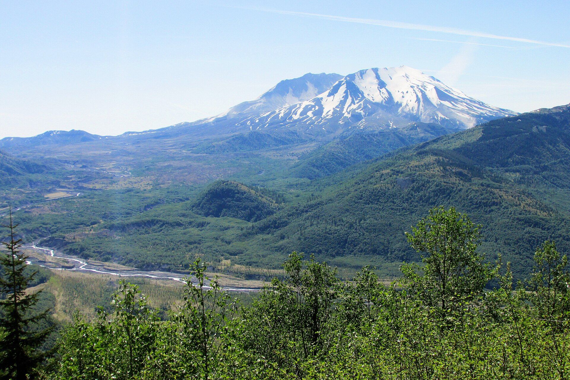
Mount St. Helens
Cascade Range, south-west Washington, USA, about 70 miles north of Portland, Oregon
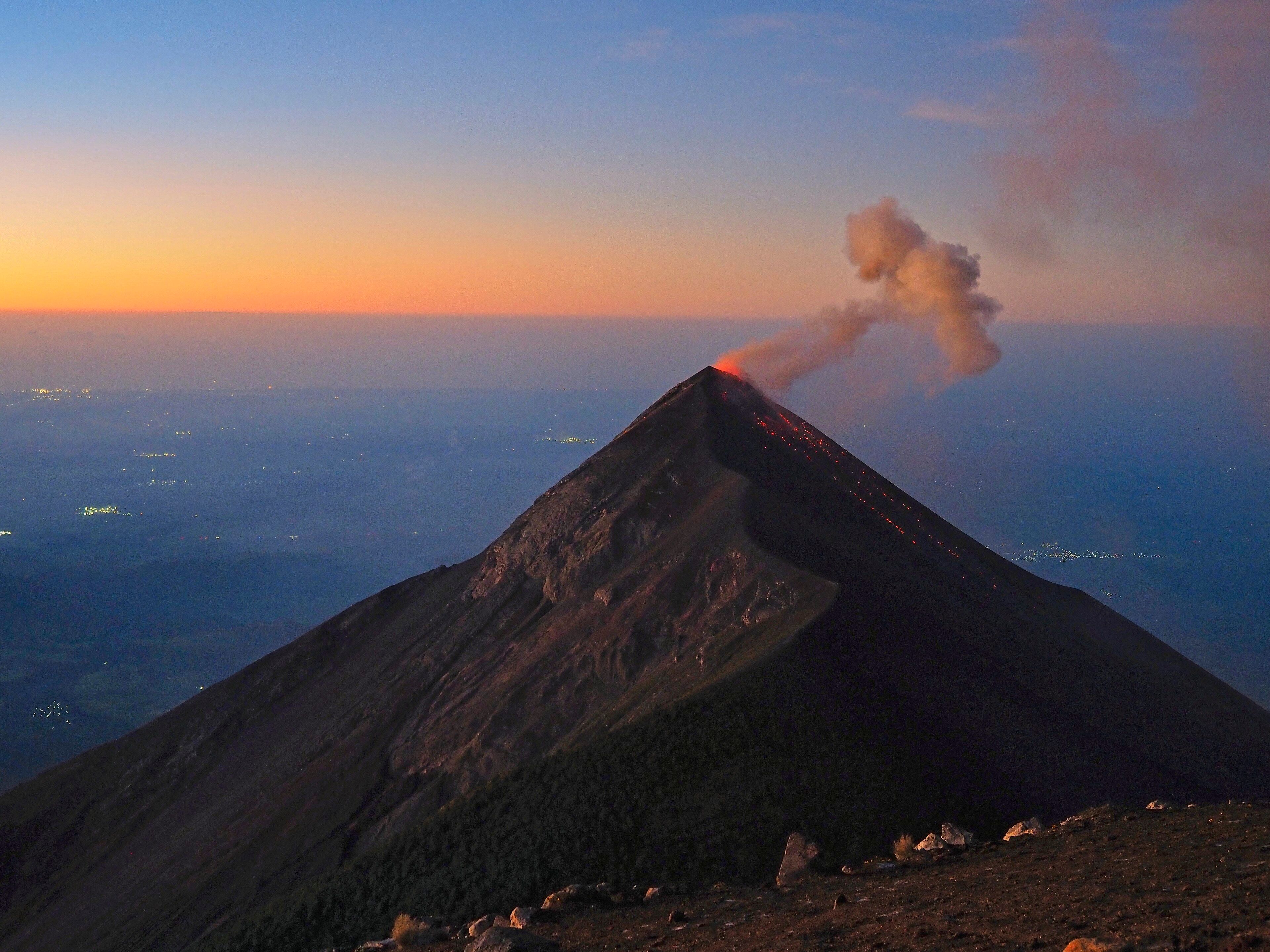
Acatenango
Sacatepéquez and Chimaltenango Departments, near Antigua, Guatemala