Samaria Gorge
📍 White Mountains, Chania, Crete, Greece
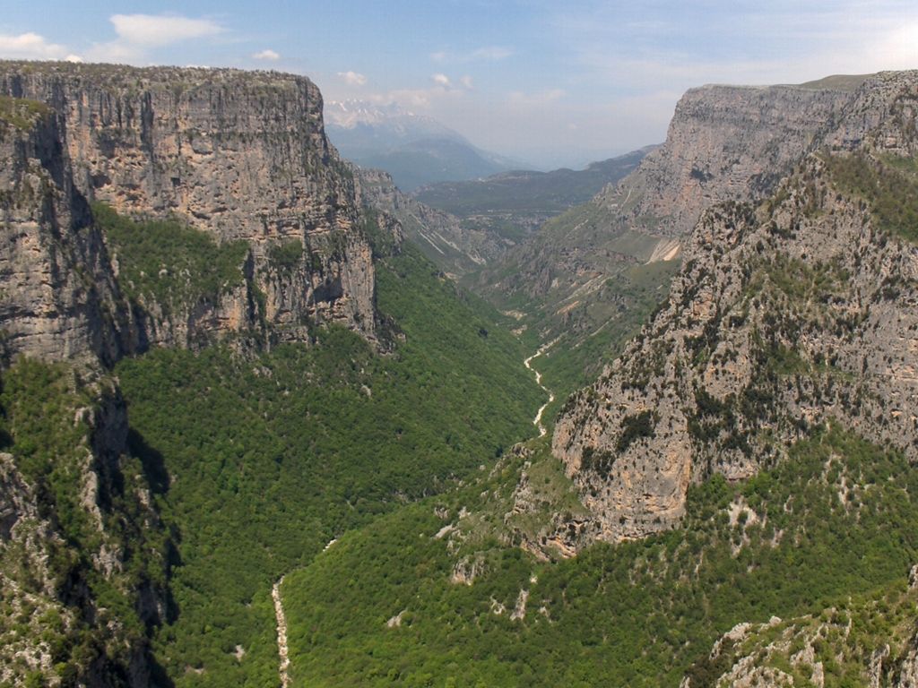
One of Europe's longest gorges — a 16-kilometre cleft dropping from the White Mountains of Crete to the Libyan Sea, narrowing at the famous Iron Gates to a corridor just a few metres wide beneath 500-metre walls.
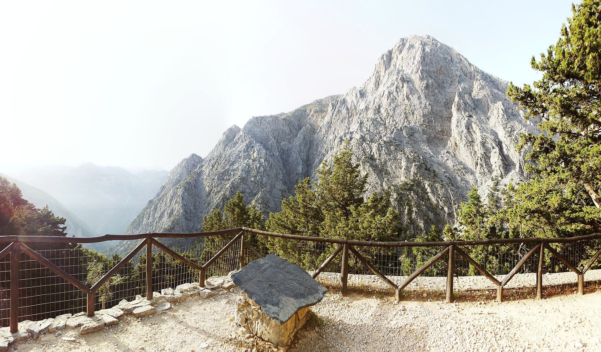
What makes it marvelous
The Samaria Gorge cuts through the limestone of Crete's White Mountains for about 16 kilometres, beginning at 1,250 metres on the Omalos plateau and ending at the shore of the Libyan Sea. Water and time have sawn a deep, sinuous canyon whose most celebrated point, the Sideroportes or 'Iron Gates', pinches to barely four metres wide while the rock soars 300 to 500 metres overhead. Declared a national park in 1962, the gorge is a refuge for the kri-kri, the wild Cretan goat found nowhere else, and shelters cypress, pine and a wealth of endemic plants along the seasonal river that carves it.
Why visit
Walking Samaria is one of the classic day hikes of the Mediterranean — a long, cool descent from mountain forest to sea through ever-narrowing walls, past the abandoned village of Samariá and its little chapels. Reaching the Iron Gates, where the sky is reduced to a ribbon far above, is the reward, and the trail ends with a swim and a ferry from the coastal hamlet of Agia Roumeli.
More views of Samaria Gorge
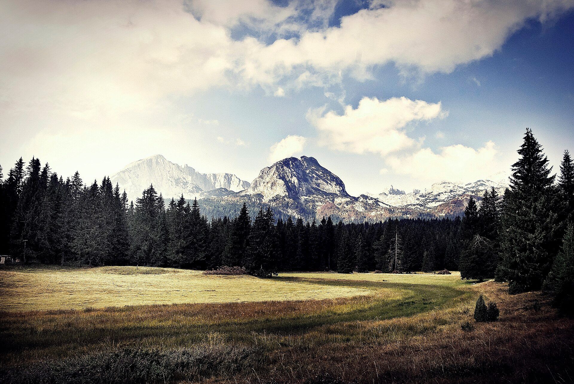
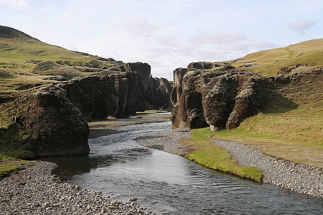
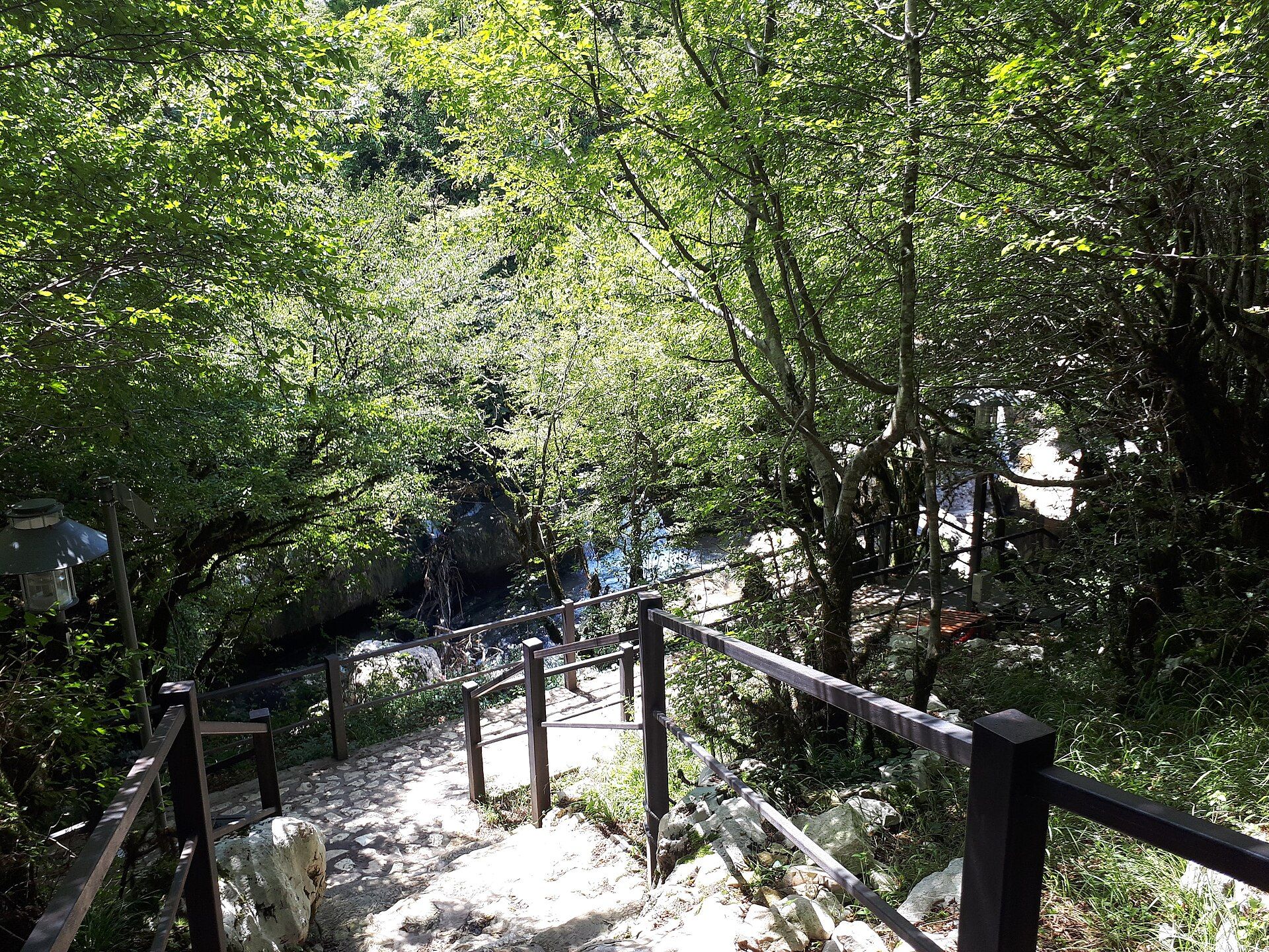
Additional photographs of the actual site — each freely licensed, with its photographer and licence credited.
What to know before you go
🗓️ Best time
The park is open from 1 May to 31 October; late spring brings wildflowers and full flow, while May, June, September and October avoid the fiercest summer heat.
🧭 Getting there & access
Reached by early bus or tour from Chania to the Xyloskalo entrance on the Omalos plateau; the walk is one-way, ending at Agia Roumeli, from where a ferry and onward bus return you by road.
Good to know
- The full route is about 16 km downhill on rough, rocky ground — sturdy footwear and an early start are essential.
- There is no exit midway; once committed you must walk the whole gorge to the sea and catch the ferry.
- Carry water between springs, sun protection and a swimsuit for the finish at Agia Roumeli.
Plan your visit
Strenuous🧭 Getting there
From Chania, Crete (airport CHQ)
- Take an early bus or tour from Chania up to the Xyloskalo entrance on the Omalos plateau
- Walk down the gorge to Agia Roumeli, then take the ferry to Sougia or Chora Sfakion and a bus back
- Total travel
- A full day, including transfers and the ferry
- Time at site
- Five to seven hours to walk the gorge end to end
- Access
- Open 1 May–31 October with an entrance fee; the walk is one-way and there is no midway exit.
🎒 What to bring & consider
- Sturdy hiking shoes for long, rocky descent
- At least two litres of water, refilled at springs
- Sun hat and protection; much of the trail is exposed
- A swimsuit and cash for the ferry and food at Agia Roumeli
👁️ What to expect
- Crowds
- The trail is busy in high summer; starting on the first bus gives cooler, quieter walking.
- Conditions
- A long downhill hike on uneven rock with river crossings; hard on knees.
- Facilities
- Springs and rest points along the route; tavernas and beach at Agia Roumeli.
- The view
- The Iron Gates from below, walls closing overhead to a sliver of sky.
Times and requirements are approximate and change with season, weather, and local rules — confirm permits, fares, and schedules with operators before you travel.
Natural riches of the area
- A deep limestone canyon in the White Mountains
- The Iron Gates, where the walls close to about four metres
- Endemic Cretan flora, cypress and pine forest
- The kri-kri, the wild goat unique to Crete
Local food
- Dakos
- Barley rusk topped with grated tomato, myzithra cheese and olive oil.
- Myzithra
- A fresh Cretan whey cheese, eaten sweet or savoury.
- Raki
- The clear Cretan spirit distilled from grape must, poured after meals.
The Samaria Gorge is the great walk of Crete: a 16-kilometre cleft that drops from the pine forests of the White Mountains at 1,250 metres all the way down to the Libyan Sea. Over millennia a seasonal river has sawn through the limestone to create a deep, winding canyon, and at its most famous point — the Sideroportes, or Iron Gates — the walls close to barely four metres apart while the rock towers up to 500 metres overhead.
Protected as a national park since 1962, the gorge is a sanctuary as much as a spectacle. It is the stronghold of the kri-kri, the wild goat found only in Crete, and its slopes hold cypress, pine and a host of plants that grow nowhere else. Walkers pass the abandoned village of Samariá and its chapels, left when the park was created.
Hiking Samaria is a one-way commitment — a long descent with no exit until the sea. It ends at the little coastal village of Agia Roumeli, reachable only by boat, where a swim and a ferry await the tired but triumphant. For many visitors to Crete, it is the highlight of the island.
Samaria Gorge: common questions
How do you get to Samaria Gorge?
From Chania, Crete (airport CHQ): Take an early bus or tour from Chania up to the Xyloskalo entrance on the Omalos plateau; Walk down the gorge to Agia Roumeli, then take the ferry to Sougia or Chora Sfakion and a bus back. Total travel time: A full day, including transfers and the ferry.
When is the best time to visit Samaria Gorge?
The park is open from 1 May to 31 October; late spring brings wildflowers and full flow, while May, June, September and October avoid the fiercest summer heat.
How long should you spend at Samaria Gorge?
Five to seven hours to walk the gorge end to end. Total travel time: A full day, including transfers and the ferry.
What should you bring to Samaria Gorge?
Sturdy hiking shoes for long, rocky descent At least two litres of water, refilled at springs Sun hat and protection; much of the trail is exposed A swimsuit and cash for the ferry and food at Agia Roumeli
Do you need a permit or guide for Samaria Gorge?
Open 1 May–31 October with an entrance fee; the walk is one-way and there is no midway exit.
Is Samaria Gorge crowded, and what are conditions like?
The trail is busy in high summer; starting on the first bus gives cooler, quieter walking. A long downhill hike on uneven rock with river crossings; hard on knees. Facilities: Springs and rest points along the route; tavernas and beach at Agia Roumeli.
Added
More wonders to explore