Slovenský raj
📍 Spiš-Gemer Karst, eastern Slovakia
A karst plateau split into pieces by gorges so narrow that the trails through them are climbed on ladders bolted beside the waterfalls — and most of them only work in one direction.
What makes it marvelous
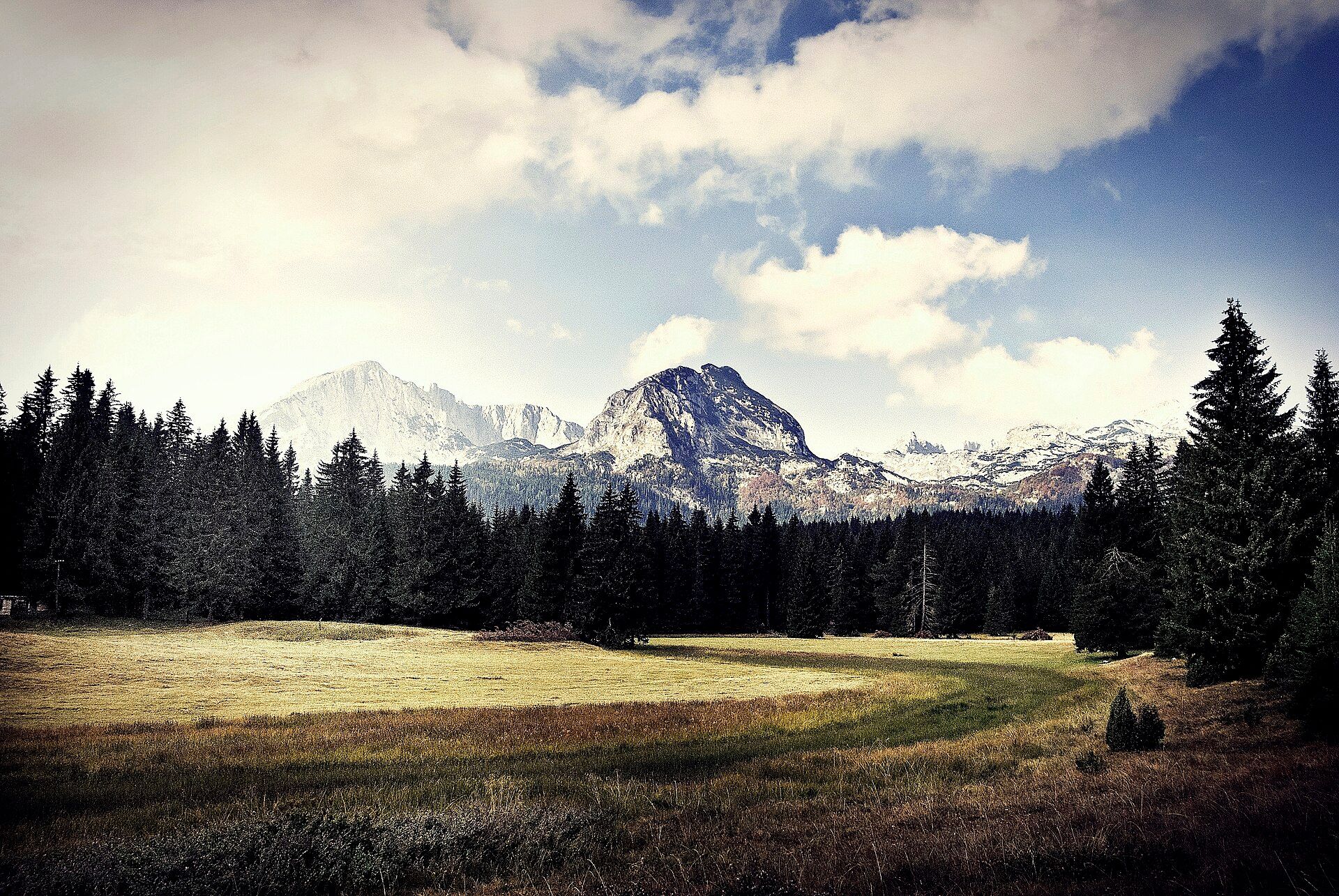
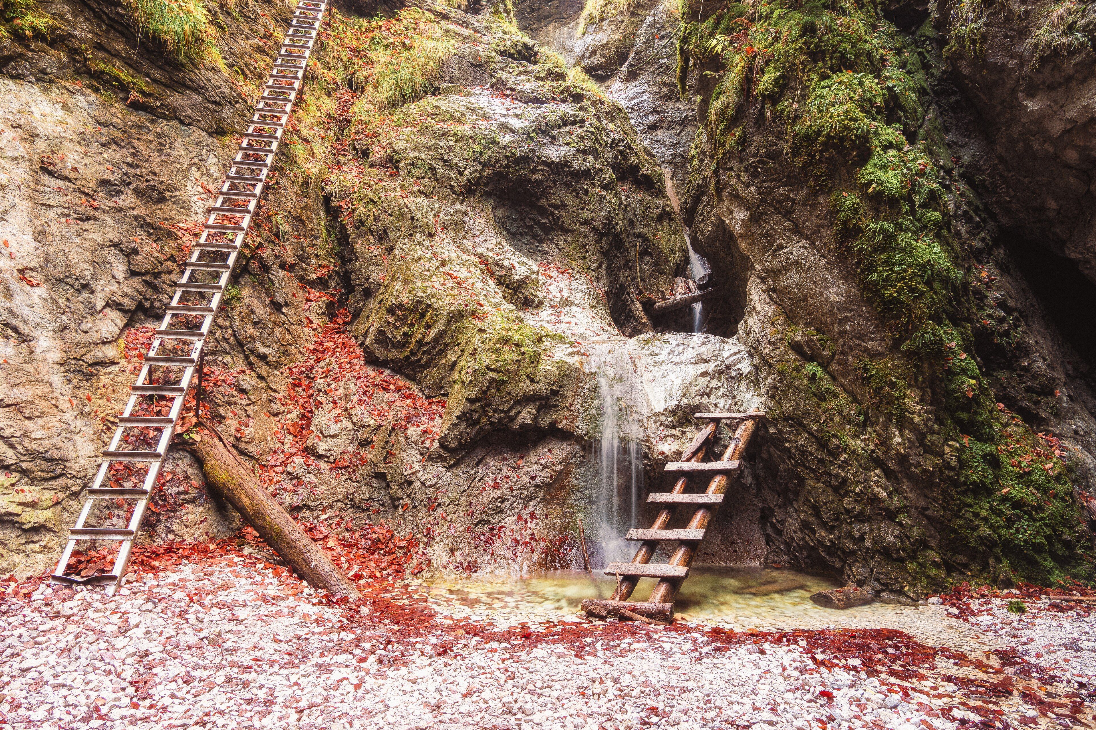
Slovenský raj — Slovak Paradise — is the northern end of the Spiš-Gemer Karst, and its structure is unusual: a limestone plateau that streams have sliced into several smaller plateaux separated by gorges hundreds of metres deep and often only a few metres wide. Because the gorges have waterfalls in them rather than paths beside them, the walking system was built into the watercourse itself. Around 300 kilometres of trail run through the park, much of it on fixed steel ladders, chain handholds and log bridges climbing directly past the falls, and several of the gorges are one-way: you go up them and come back over the plateau. Veľký Sokol is the longest gorge at 4.5 kilometres; Suchá Belá, Piecky and Kyseľ are the best known of the rest. The Hornád has cut the longest canyon in the park, Prielom Hornádu, at 11.7 kilometres, and it holds the greatest species diversity in the area. Beneath all of it are roughly 350 caves, of which exactly one — the Dobšiná Ice Cave, a UNESCO World Heritage Site since 2000 — is open to the public.
Why visit
There is nothing else quite like walking up a waterfall on a ladder. The gorges are cold, green, permanently wet and genuinely enclosed, and the transition from a dark ravine full of spray to open plateau meadow at the top does not get old. It is also unusually affordable and uncrowded for European mountain country of this quality.
What to know before you go
🗓️ Best time
May to October is the season; the gorge routes are closed over winter and in high water because the ladders become lethal. June and September are the best combination of open trails and manageable numbers. July and August are busy, particularly at Suchá Belá.
🧭 Getting there & access
Podlesok, near Hrabušice, and Čingov near Spišská Nová Ves are the two main entry points, both about an hour from Poprad or Košice by road. Park entry is charged at the gorge entrances. The one-way gorges are signposted as such — the direction is not a suggestion.
Good to know
- Check which gorges are open before you go; they close after heavy rain and over winter.
- Go up the one-way gorges, not down. Descending the ladders against the flow of walkers is both dangerous and unwelcome.
- Start early in July and August — a queue on a ladder is a slow, cold place to stand.
- The Dobšiná Ice Cave is a separate visit with its own timed tickets and a short steep walk up to the entrance.
Plan your visit
Strenuous🧭 Getting there
From Košice (KSC) or Poprad, Slovakia
- Fly to Košice or Poprad, or arrive by train
- Drive about an hour to Podlesok or Čingov
- Walk up one of the one-way gorges on the ladder system
- Return across the plateau on the marked circuit
- Total travel
- About an hour from either city
- Time at site
- 2–3 days to cover several gorges
- Access
- Entry is ticketed at the gorge entrances. Several gorges are strictly one-way and closed outside the summer season or after heavy rain — check the park's current status rather than assuming. Dobšiná Ice Cave is separately ticketed with timed entry and limited daily numbers.
🎒 What to bring & consider
- Boots with grip that you accept will get soaked
- Gloves for cold wet steel ladders and chains
- A dry bag; spray in the narrow sections is constant
- Cash for the gorge entry fees
- A head for heights — some ladders are long, exposed and above water
👁️ What to expect
- Crowds
- Heavy at Suchá Belá on summer weekends. The longer gorges and the Hornád canyon thin out quickly.
- Conditions
- Cold, wet and enclosed in the gorges; warm and open on the plateau. Sustained ladder climbing.
- Facilities
- Car parks, ticket huts and campsites at Podlesok and Čingov; chalets on the plateau. Nothing inside the gorges.
- The view
- A ladder bolted to the rock beside a fall in the narrows of Suchá Belá, with autumn leaf litter on the wet limestone below.
Times and requirements are approximate and change with season, weather, and local rules — confirm permits, fares, and schedules with operators before you travel.
Natural riches of the area
- A karst plateau cut into pieces by gorges hundreds of metres deep
- Around 300 km of trail, much of it on ladders, chains and log bridges through waterfalls
- Prielom Hornádu, the longest canyon in the park at 11.7 km
- Veľký Sokol, the longest gorge at 4.5 km, and the falls of Suchá Belá, Piecky and Kyseľ
- Roughly 350 caves, including the Dobšiná Ice Cave
Local food
- Bryndzové halušky
- Potato dumplings with sheep's cheese and bacon — Slovakia's national dish.
- Kapustnica
- Sauerkraut soup with sausage and mushrooms, eaten year round in the mountains.
- Žinčica
- The whey left from making bryndza, drunk sour at shepherds' huts.
- Trdelník
- Sweet dough wound on a spit and rolled in sugar, sold at every trailhead.
Most mountain trails go round obstacles. In Slovenský raj they go straight up them.
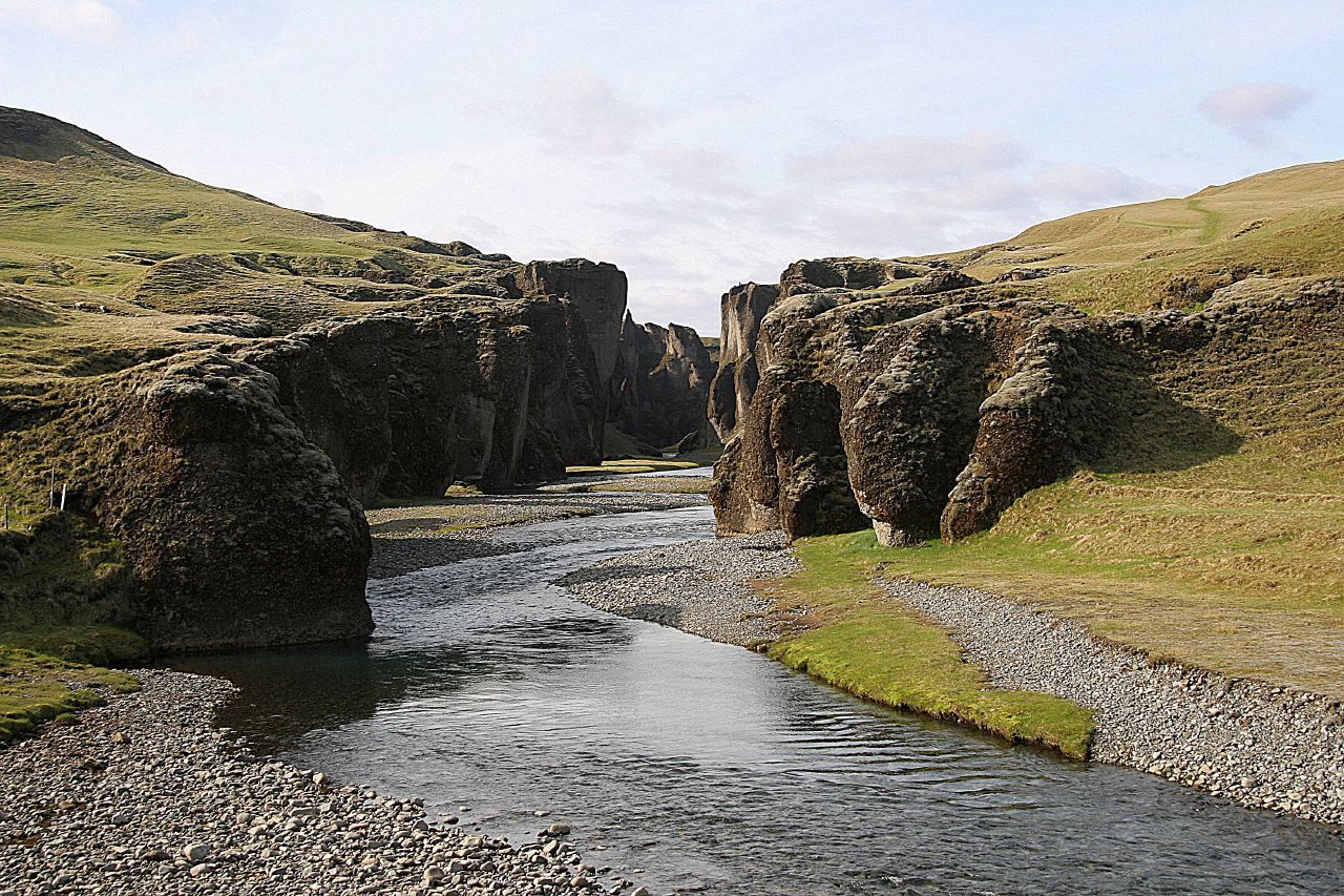
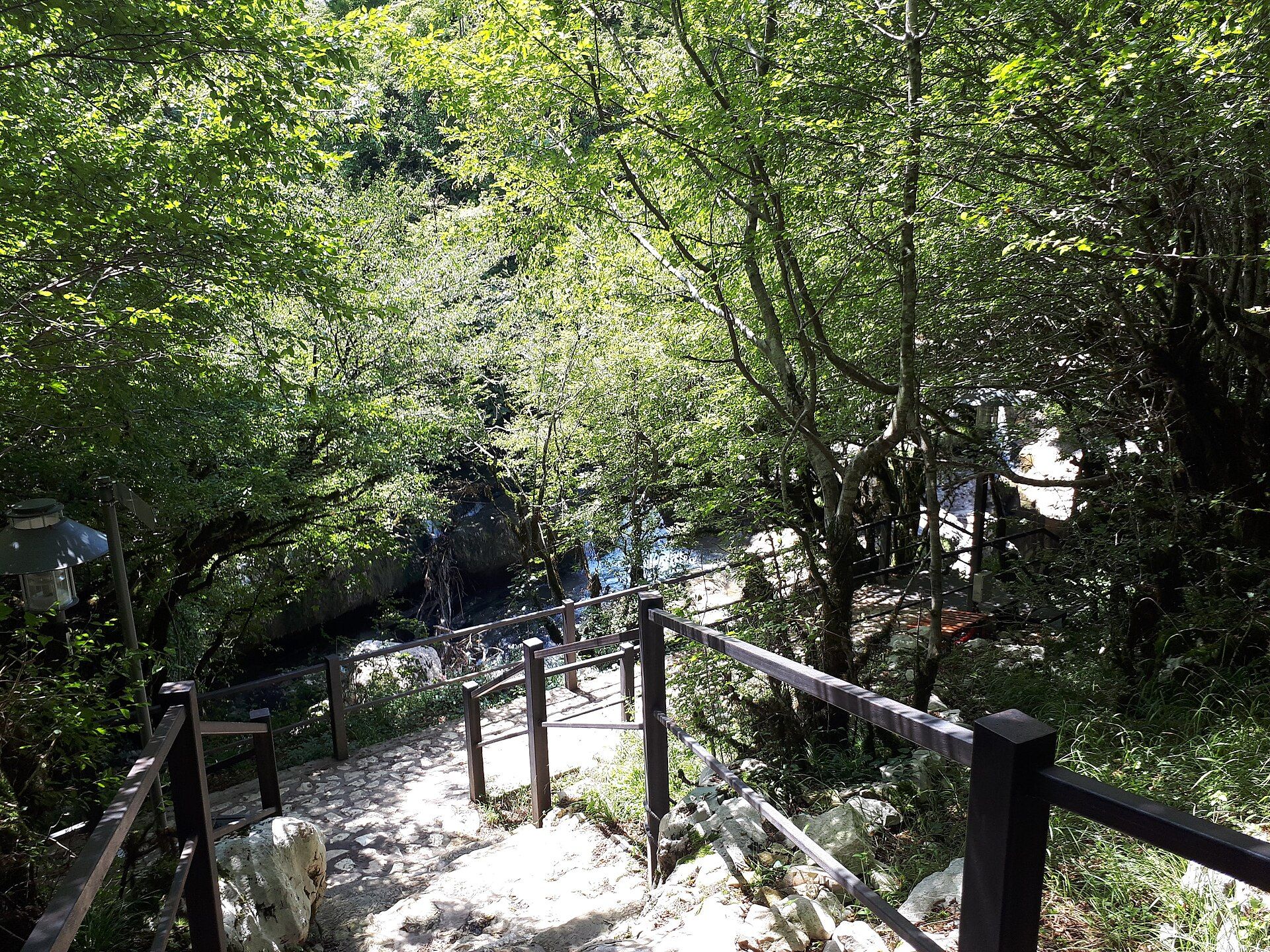
The park sits on the northern edge of the Spiš-Gemer Karst, and the shape of the place is the result of streams cutting limestone: a plateau sliced into several smaller plateaux by gorges that are hundreds of metres deep and, in places, only a few metres wide. Because those gorges are full of waterfalls rather than walkable ground, the route through them had to be built rather than found. Around 300 kilometres of trail run through the park, and a good deal of it consists of steel ladders bolted to the rock beside the falls, chain handholds across wet slabs, and log bridges over the stream.
The consequence is that several gorges only work in one direction. You climb Suchá Belá or Piecky upstream, ladder by ladder, and come back over the top of the plateau on an ordinary path — going down against the traffic is both dangerous and firmly discouraged. The longest gorge, Veľký Sokol, runs 4.5 kilometres; the Hornád has cut the longest canyon in the park at 11.7 kilometres, and that stretch holds the widest range of species in the area.
Underneath, the limestone has done what limestone does. There are around 350 known caves in the park. Exactly one is open to the public: the Dobšiná Ice Cave, which has held permanent ice since long before anyone was measuring it and has been a UNESCO World Heritage Site since 2000.
The gorges close in winter and after heavy rain, for the obvious reason that a steel ladder beside a swollen waterfall is not a trail. Between May and October, though, this is one of the more unusual walking experiences in Europe and still one of the cheapest.
Slovenský raj: common questions
How do you get to Slovenský raj?
From Košice (KSC) or Poprad, Slovakia: Fly to Košice or Poprad, or arrive by train; Drive about an hour to Podlesok or Čingov; Walk up one of the one-way gorges on the ladder system; Return across the plateau on the marked circuit. Total travel time: About an hour from either city.
When is the best time to visit Slovenský raj?
May to October is the season; the gorge routes are closed over winter and in high water because the ladders become lethal. June and September are the best combination of open trails and manageable numbers. July and August are busy, particularly at Suchá Belá.
How long should you spend at Slovenský raj?
2–3 days to cover several gorges. Total travel time: About an hour from either city.
What should you bring to Slovenský raj?
Boots with grip that you accept will get soaked Gloves for cold wet steel ladders and chains A dry bag; spray in the narrow sections is constant Cash for the gorge entry fees A head for heights — some ladders are long, exposed and above water
Do you need a permit or guide for Slovenský raj?
Entry is ticketed at the gorge entrances. Several gorges are strictly one-way and closed outside the summer season or after heavy rain — check the park's current status rather than assuming. Dobšiná Ice Cave is separately ticketed with timed entry and limited daily numbers.
Is Slovenský raj crowded, and what are conditions like?
Heavy at Suchá Belá on summer weekends. The longer gorges and the Hornád canyon thin out quickly. Cold, wet and enclosed in the gorges; warm and open on the plateau. Sustained ladder climbing. Facilities: Car parks, ticket huts and campsites at Podlesok and Čingov; chalets on the plateau. Nothing inside the gorges.
Added
More wonders to explore