Durmitor & the Tara Canyon
📍 Durmitor National Park, northern Montenegro
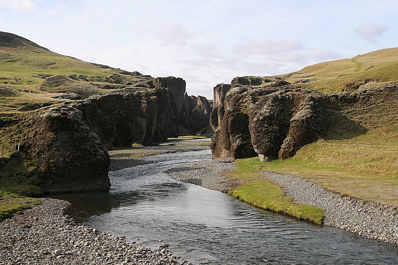
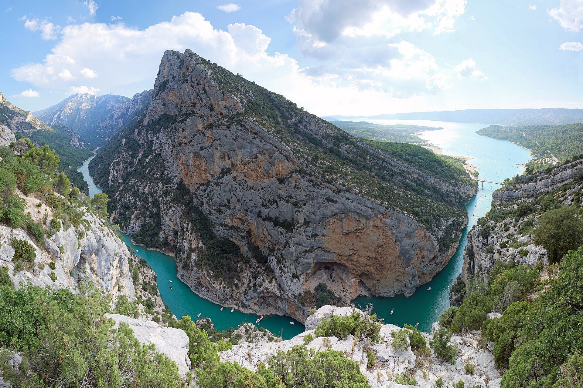
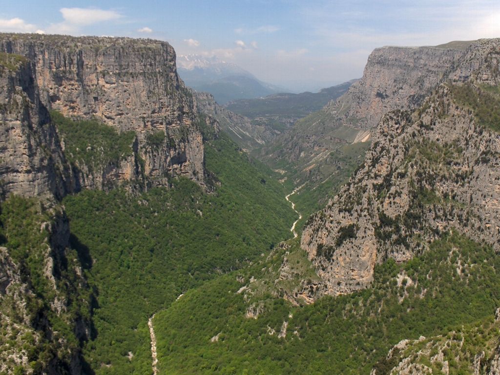
A glaciated limestone massif in northern Montenegro with more than forty peaks above 2,000 metres, cut on its eastern flank by the Tara — at up to 1,300 metres, the deepest river canyon in Europe.
What makes it marvelous
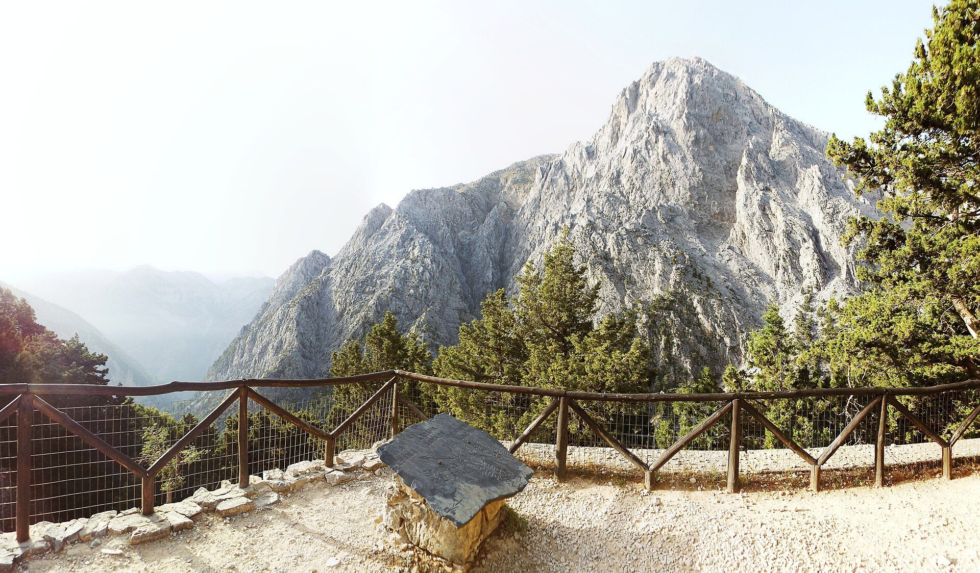
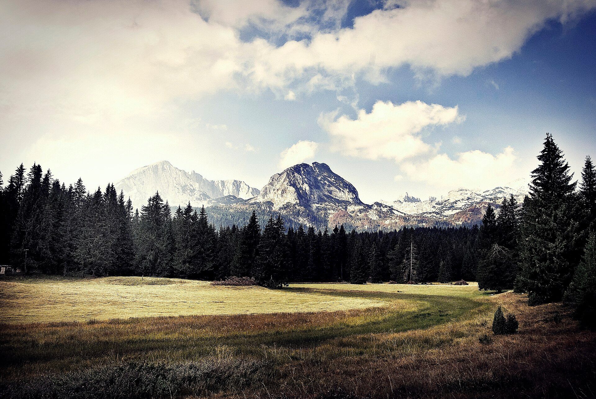
Durmitor is limestone that has been worked twice. First by water: the whole massif is karst, so rain sinks in rather than running off, dissolving the rock into caves, sinkholes and underground drainage. Then by ice: Pleistocene glaciers ground out cirques and troughs across the high plateau, leaving behind the small dark tarns Montenegrins call gorske oči, the mountain eyes, of which Black Lake is the largest and best known. Above them stand more than forty summits over 2,000 metres, topped by Bobotov Kuk at 2,523. The eastern boundary is the extraordinary part. The Tara has cut down through the plateau for roughly 80 kilometres, reaching about 1,300 metres at its deepest — the deepest river canyon in Europe, and second in the world only to the Colorado's. UNESCO inscribed Durmitor and the canyon together in 1980.
Why visit
It is Europe's deepest canyon without Europe's crowds. The Tara can be rafted through its inner gorge in summer, the Đurđevića Tara bridge gives the classic view straight down into it, and above, the Durmitor plateau offers genuinely wild hiking between glacial lakes and limestone peaks — all in a country small enough that the Adriatic is a few hours away.
What to know before you go
🗓️ Best time
June to September for both the mountains and the river. The high trails need the snow gone, which is rarely before June, and the rafting season runs through summer into early autumn. From late autumn the plateau is under snow and much of it closes.
🧭 Getting there & access
Žabljak, the highest town in the Balkans, is the base for the massif and sits about 2 to 3 hours by road from Podgorica. The Đurđevića Tara bridge is a short drive north. Rafting is booked through operators on the river, usually as a half or full day. Park entry is a modest fee collected at the main access points.
Good to know
- Base in Žabljak — it is right at the Black Lake entrance and has the guides and rafting operators.
- Raft the inner canyon rather than the tamer upper section, if you want the walls.
- Roads are slow and winding; halve your assumptions about how far you can drive in a day.
- The high plateau holds snow well into spring — check conditions before planning a summit.
Plan your visit
Moderate🧭 Getting there
From Podgorica (TGD), Montenegro
- Fly into Podgorica, or Tivat for the coast
- Drive 2–3 hours north to Žabljak
- Walk the Black Lake circuit and the plateau trails
- Drive north to the Đurđevića Tara bridge, or raft the inner canyon
- Total travel
- Half a day from Podgorica; a full day from the coast
- Time at site
- 2–3 days to combine the plateau, the bridge and a rafting day
- Access
- A modest national park entry fee is collected at the main access points. Rafting is run by licensed operators and includes equipment and guides. The high plateau is snowbound outside roughly June to September.
🎒 What to bring & consider
- Proper hiking boots — the karst underfoot is sharp, uneven and unforgiving
- Layers, since the plateau sits above 1,400 m and weather turns fast
- Cash in euros; card acceptance thins out quickly away from Žabljak
- Sun protection on the open plateau, which has very little shade
- Realistic driving times on mountain roads
👁️ What to expect
- Crowds
- Black Lake is busy in high summer; walk an hour onto the plateau and it empties out. The canyon viewpoints see coach stops.
- Conditions
- Alpine and exposed above the treeline, warm in the canyon bottom. Rough limestone trails and long, winding drives.
- Facilities
- Hotels, guesthouses and guides in Žabljak; rafting camps along the river. Nothing on the high plateau.
- The view
- The canyon from the Đurđevića Tara bridge in morning light, before haze fills the gorge — or Black Lake with Meded behind it, from the far shore.
Times and requirements are approximate and change with season, weather, and local rules — confirm permits, fares, and schedules with operators before you travel.
Natural riches of the area
- The Tara Canyon — roughly 80 km long, up to about 1,300 m deep
- A glaciated karst massif with more than forty peaks above 2,000 m
- Eighteen glacial lakes, including Black Lake below Meded
- Black pine and beech forest, some of it old growth, on the canyon slopes
Local food
- Kajmak
- A rich clotted dairy spread eaten with almost everything in the Montenegrin highlands.
- Njeguši ham
- Air-dried and smoked in the mountain village of the same name.
- Cicvara
- A cornmeal and cheese dish from the highland pastures.
- Tara trout
- Freshwater trout from one of the cleanest rivers in Europe.
Durmitor is limestone that has been worked over twice. Water went first: the whole massif is karst, so rain sinks into the rock instead of running across it, dissolving out caves, sinkholes and underground drainage. Then came the ice. Pleistocene glaciers gouged cirques and troughs across the high plateau and left behind eighteen small dark tarns, which Montenegrins call the mountain eyes — Black Lake, below the wall of Meded, is the largest and the one everyone walks to. Above them stand more than forty summits over 2,000 metres, the highest being Bobotov Kuk at 2,523.
The eastern edge is where it becomes exceptional. Over roughly 80 kilometres the Tara has cut down through the plateau to a maximum of about 1,300 metres, making it the deepest river canyon in Europe and second in the world only to the Colorado’s. UNESCO inscribed the massif and the canyon together in 1980. What is striking in practice is how little visited it is by European standards: you can raft the inner gorge, stand on the Đurđevića Tara bridge looking straight down into it, and then walk for hours on the plateau above without meeting many people at all.
Durmitor & the Tara Canyon: common questions
How do you get to Durmitor & the Tara Canyon?
From Podgorica (TGD), Montenegro: Fly into Podgorica, or Tivat for the coast; Drive 2–3 hours north to Žabljak; Walk the Black Lake circuit and the plateau trails; Drive north to the Đurđevića Tara bridge, or raft the inner canyon. Total travel time: Half a day from Podgorica; a full day from the coast.
When is the best time to visit Durmitor & the Tara Canyon?
June to September for both the mountains and the river. The high trails need the snow gone, which is rarely before June, and the rafting season runs through summer into early autumn. From late autumn the plateau is under snow and much of it closes.
How long should you spend at Durmitor & the Tara Canyon?
2–3 days to combine the plateau, the bridge and a rafting day. Total travel time: Half a day from Podgorica; a full day from the coast.
What should you bring to Durmitor & the Tara Canyon?
Proper hiking boots — the karst underfoot is sharp, uneven and unforgiving Layers, since the plateau sits above 1,400 m and weather turns fast Cash in euros; card acceptance thins out quickly away from Žabljak Sun protection on the open plateau, which has very little shade Realistic driving times on mountain roads
Do you need a permit or guide for Durmitor & the Tara Canyon?
A modest national park entry fee is collected at the main access points. Rafting is run by licensed operators and includes equipment and guides. The high plateau is snowbound outside roughly June to September.
Is Durmitor & the Tara Canyon crowded, and what are conditions like?
Black Lake is busy in high summer; walk an hour onto the plateau and it empties out. The canyon viewpoints see coach stops. Alpine and exposed above the treeline, warm in the canyon bottom. Rough limestone trails and long, winding drives. Facilities: Hotels, guesthouses and guides in Žabljak; rafting camps along the river. Nothing on the high plateau.
Added
More wonders to explore