Superlative · crater lakes
The Most Beautiful Crater Lakes in the World
9 places · every one real, mapped, and worth the trip
A crater lake is what happens when a volcano's crater or collapsed caldera fills with rain, snowmelt or groundwater. Some are pure and luminous blue; others are coloured by the minerals and gases still rising from below, which is why Kelimutu's lakes change colour and Kawah Ijen's turquoise water is strongly acidic.
How you see them varies as much as the colour. At Quilotoa a path leads down to the shore; at Crater Lake one trail goes down; at Pinatubo, Kelimutu, Ijen and Tongariro you look from the rim or the track; and Taal's Volcano Island is off-limits. This is our editors' pick of nine in the atlas, unranked.
-
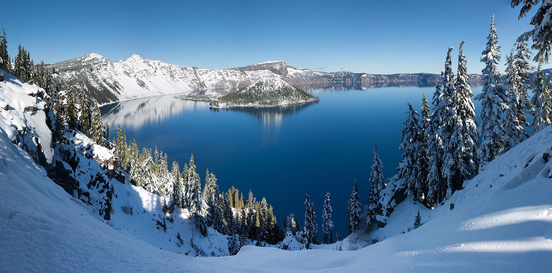
Crater Lake Deepest in the USA
Oregon, USA
The caldera left when Mount Mazama erupted and collapsed about 7,700 years ago, filled only by rain and snow — 594 metres deep. The Rim Drive is clear of snow roughly July to September, and the Cleetwood Cove trail is the only legal route down to the water.
-
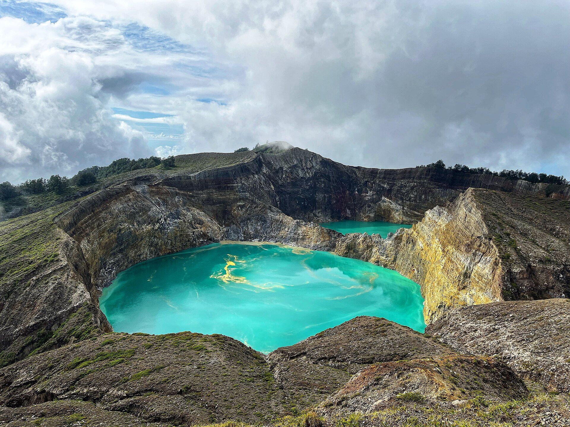
Kelimutu Three lakes, changing colour
Flores, East Nusa Tenggara, Indonesia
Three crater lakes on a 1,639-metre summit on Flores that change colour independently — turquoise, green, black, brown or red — as volcanic gases and minerals well up from below. Drive up from Moni before dawn and walk the last steps; mist usually veils the lakes later in the morning.
-
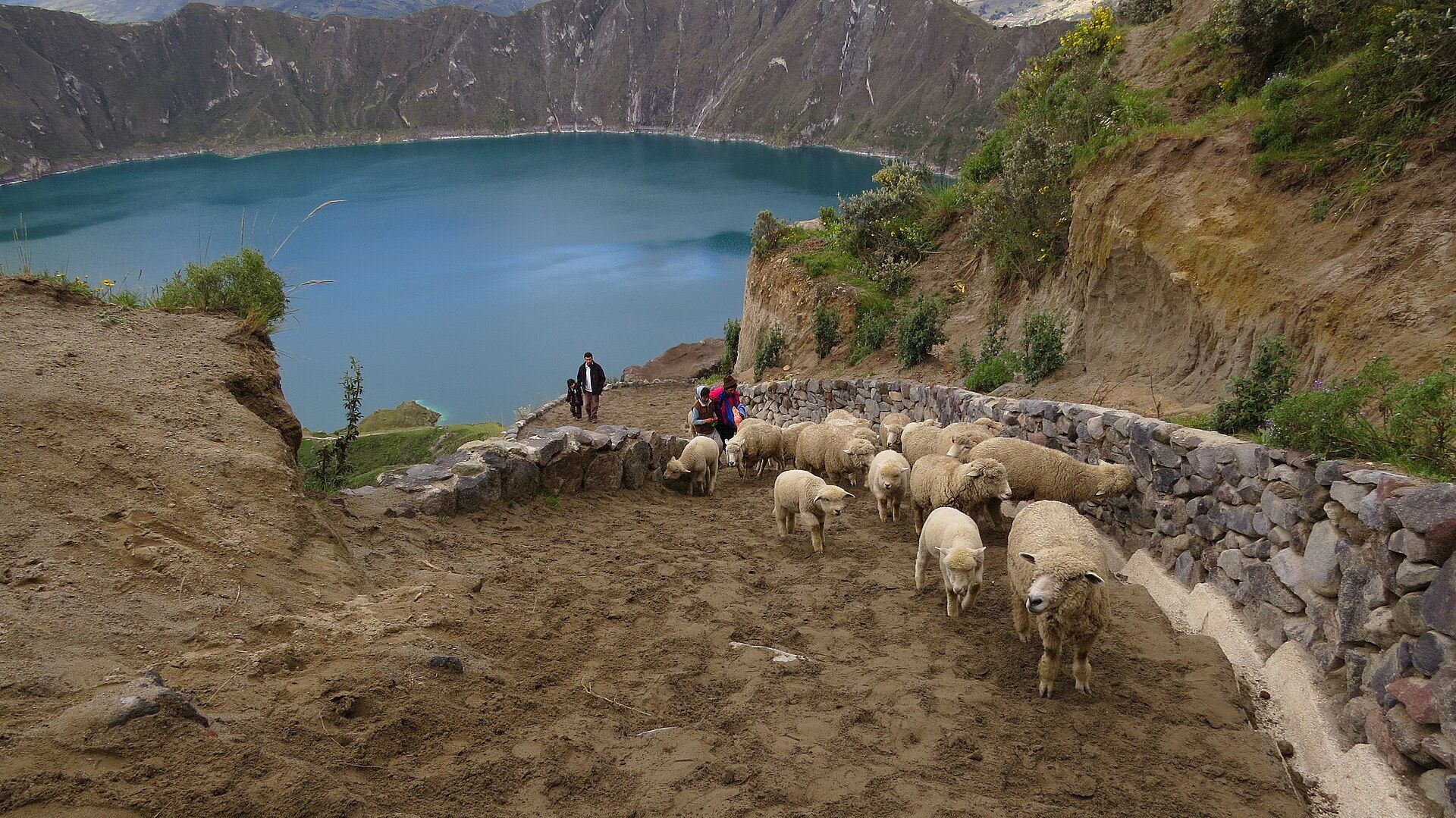
Quilotoa Walk down to the water
Cotopaxi Province, Ecuadorian Andes
A green lake about 250 metres deep inside a 3-kilometre-wide caldera in the Ecuadorian Andes. Buses run from Latacunga to the village on the rim, and a path leads down to the shore; go in the morning, before the afternoon cloud.
-
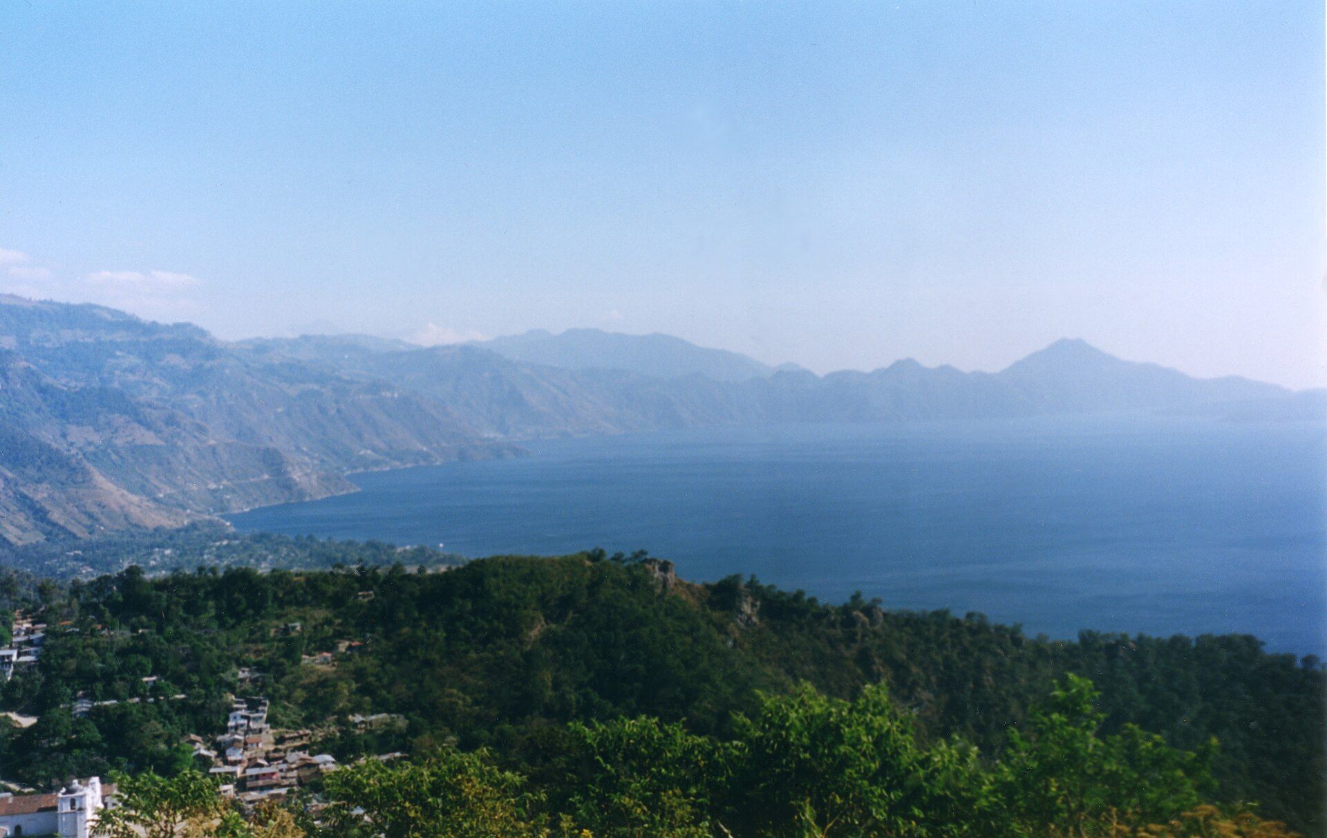
Lake Atitlán Ringed by three volcanoes
Sololá, southwestern Guatemala highlands
A caldera lake of about 130 square kilometres and over 300 metres deep, ringed by volcanic cones above 3,000 metres and Maya villages linked by public launch boats. About 3 hours from Guatemala City or Antigua; the dry season, roughly November to April, has the calmest mornings.
-
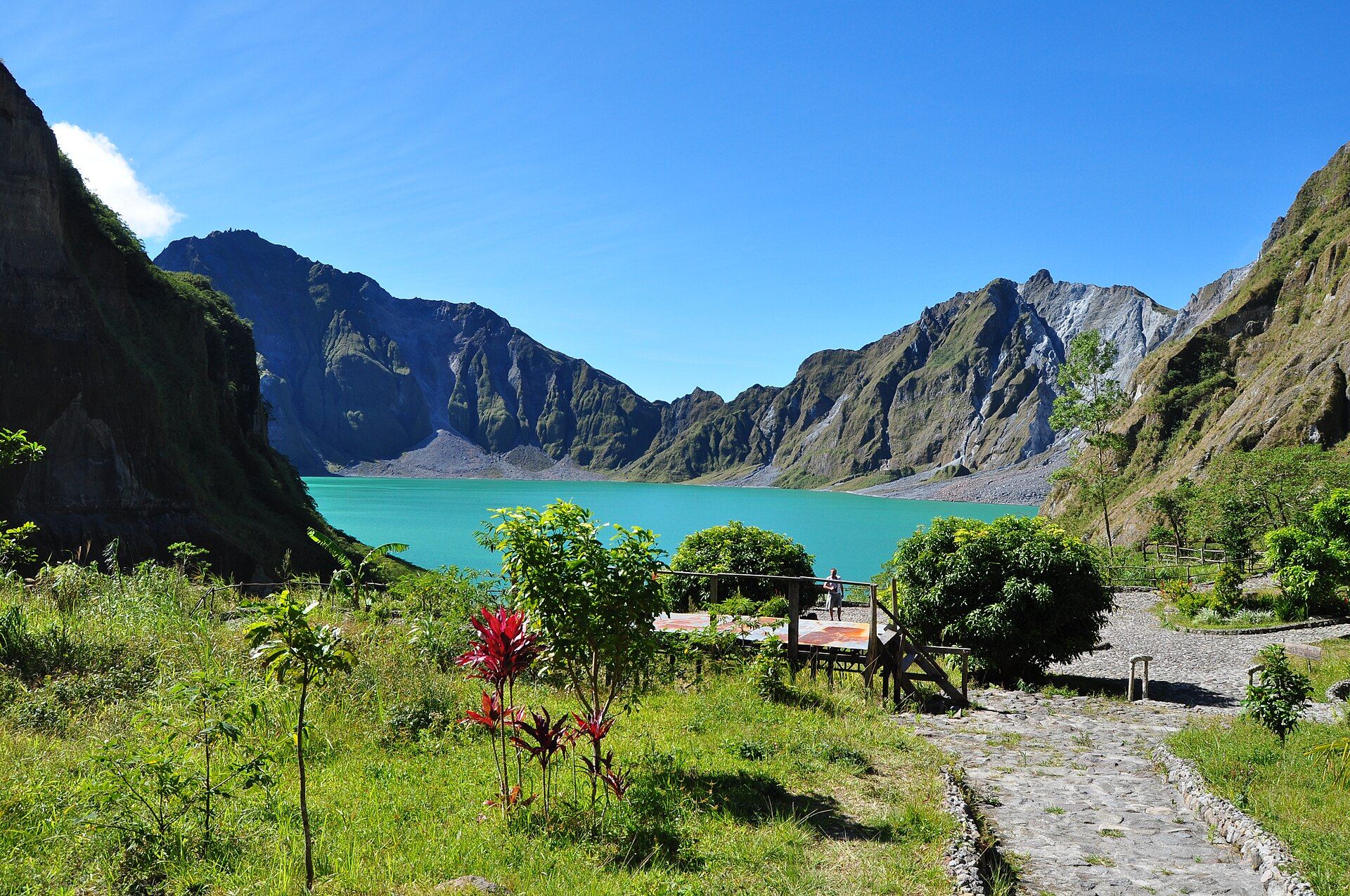
Mount Pinatubo Crater Lake Born in 1991
Zambales / Tarlac / Pampanga, Luzon, Philippines
A turquoise lake in a caldera about 2.5 kilometres wide, formed since the second-largest eruption of the 20th century. A 4x4 crosses the lahar plain from Capas, then a 1–2 hour hike reaches the rim; the route closes in heavy rain and usually through the peak wet season, so go November to May.
-
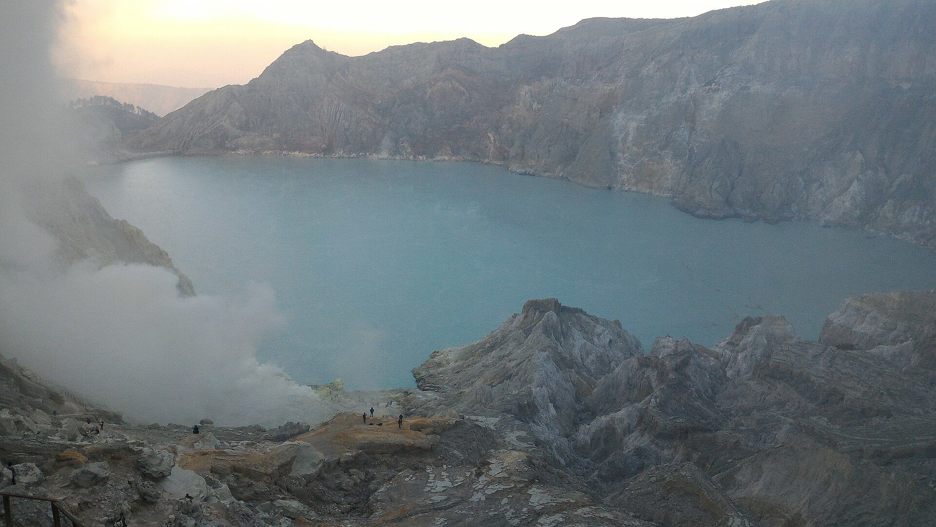
Kawah Ijen The acid lake
East Java, Indonesia
The world's largest highly acidic crater lake, about 700 metres wide, beside the vents whose blue flames are visible only in darkness. Climbs from the Paltuding trailhead start around 1–2 a.m.; a guide and gas mask are strongly advised for the descent to the vents.
-
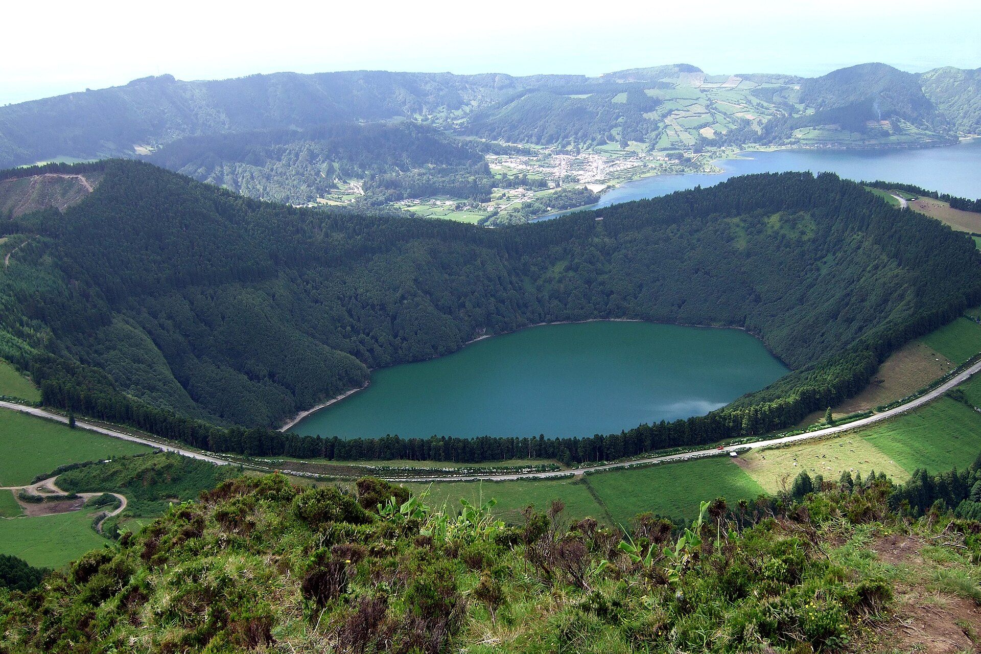
The Azores One green, one blue
Azores archipelago, Atlantic Ocean
The twin lakes of Sete Cidades on São Miguel, seen from the Vista do Rei viewpoint, plus the crater lake at Furnas — no permits needed, easy by hire car. Roughly May to September is warmest and driest, but the views depend on clear windows.
-
Tongariro National Park On a great day hike
Central Plateau, North Island, New Zealand
The vividly green Emerald Lakes, coloured by dissolved volcanic minerals, below the red crater on the Tongariro Alpine Crossing (about 19.4 kilometres). Roughly November to April in summer conditions; check the forecast and volcanic-alert level first.
-
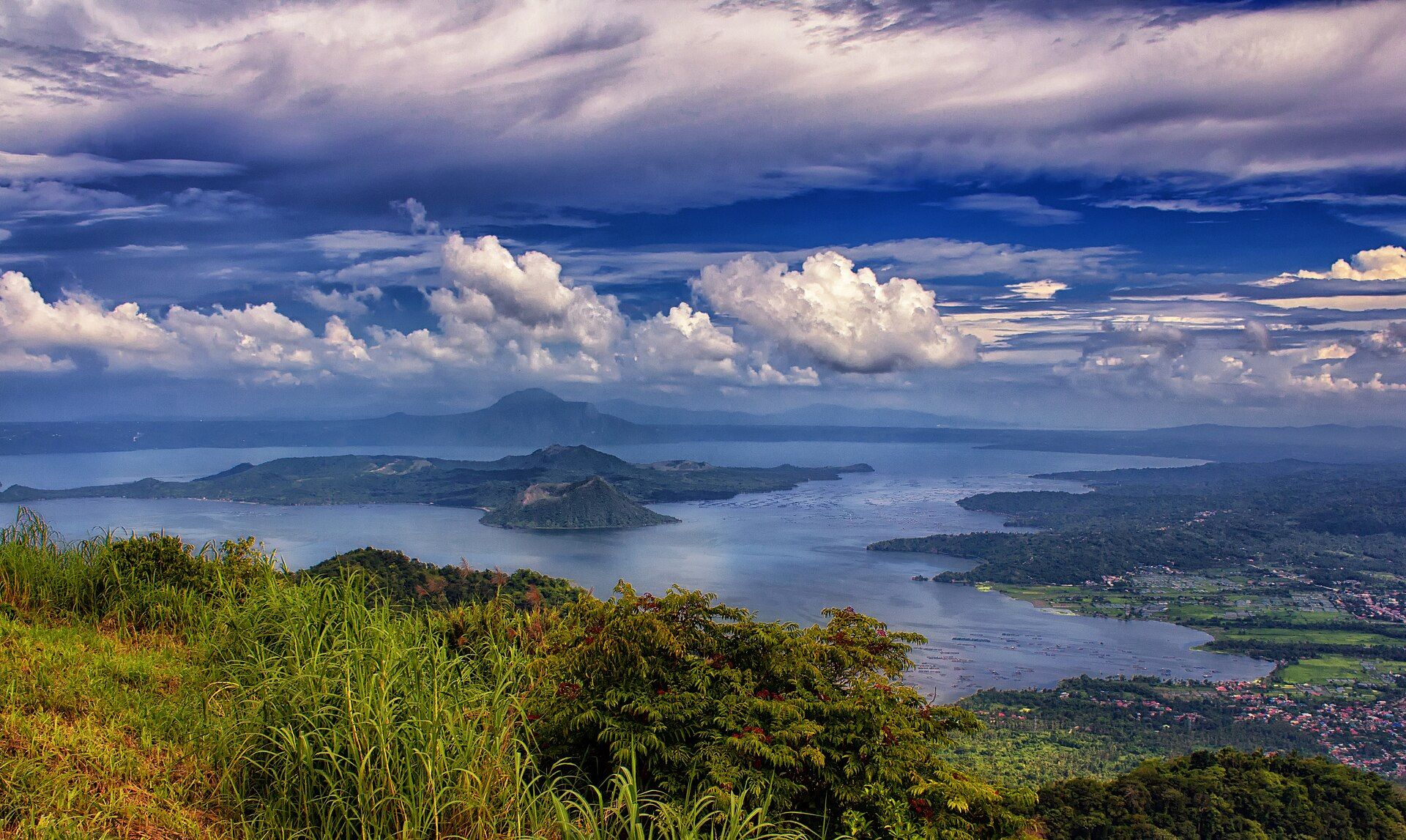
Taal Volcano & Lake See it from the rim
Batangas, Calabarzon, Philippines
A volcano on an island inside a lake that fills a caldera about 25 kilometres across, viewed from the Tagaytay ridge 1.5–2 hours south of Manila. Volcano Island is a Permanent Danger Zone and off-limits to the public — check the PHIVOLCS bulletin before you go.

Most crater lakes are best early: cloud and mist close in on Kelimutu, Quilotoa and Sete Cidades as the day warms, and Ijen's flames need darkness. Several sit on active volcanoes — Kawah Ijen, Taal and the Tongariro crossing all depend on the current alert level, and Pinatubo's route closes in the wet season — so check the volcano observatory or park notice the week you travel.
Added