Taal Volcano & Lake
📍 Batangas, Calabarzon, Philippines
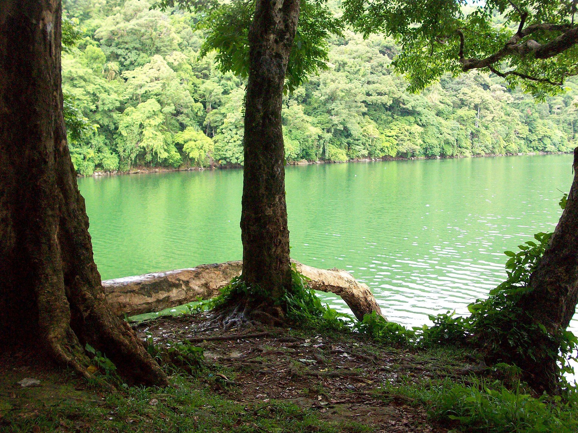
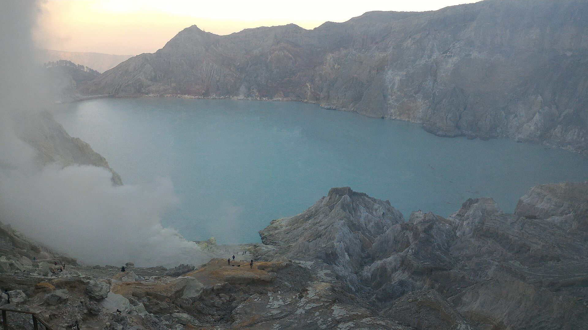
A volcano within a lake within a volcano — one of the world's smallest and most active volcanoes, sitting on an island inside a crater lake that fills a far larger ancient caldera, just south of Manila.
What makes it marvelous
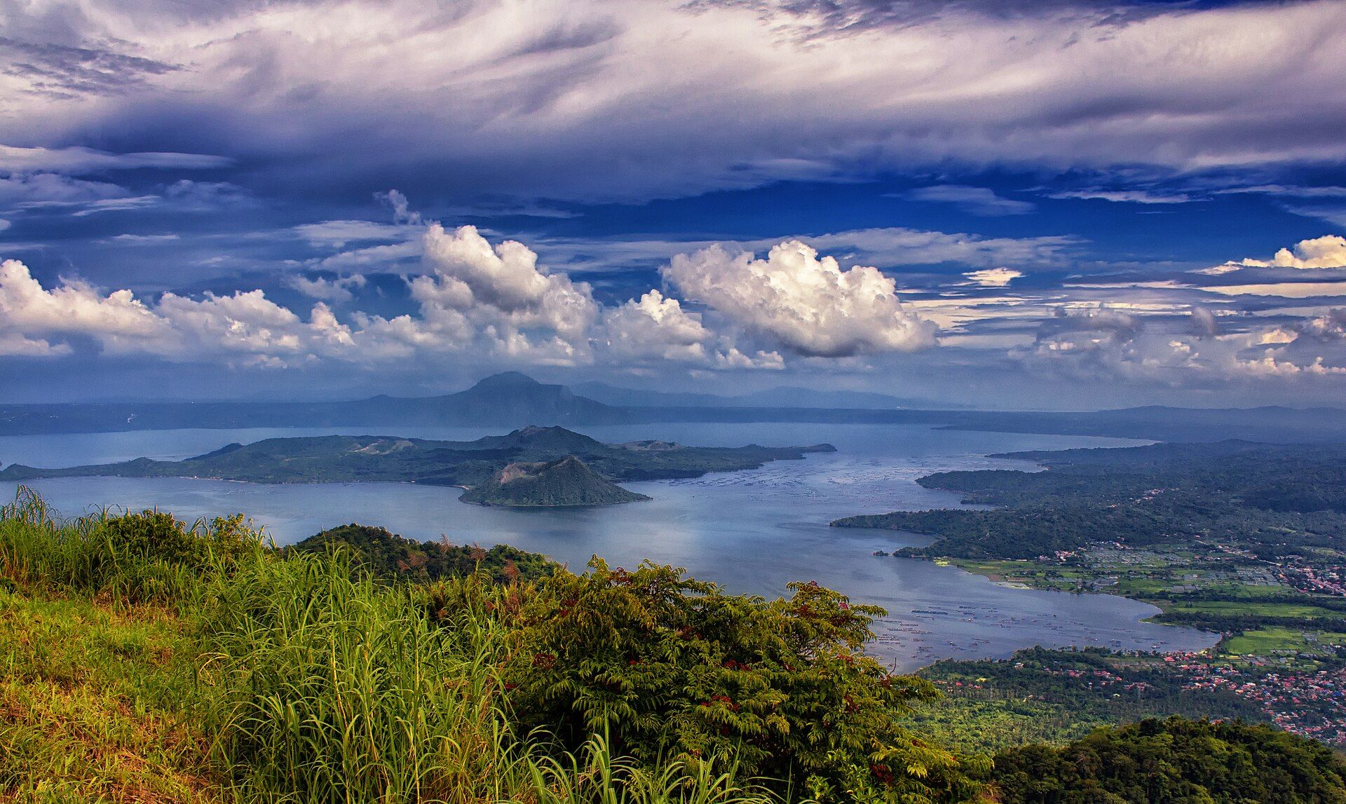
Taal is a nested landscape: a huge prehistoric caldera now filled by Taal Lake, with Volcano Island rising from its centre, and on that island a crater lake of its own. It is a Decade Volcano — one of a handful worldwide singled out for study because it is both very active and very close to dense population. The 2020 eruption blanketed the region in ash and reshaped the crater.
Why visit
The view from the Tagaytay ridge is one of the most beloved panoramas in the country: cool highland air, a vast blue lake, and the steaming island volcano at its heart. It is a compact, almost diagrammatic illustration of how calderas and nested volcanoes form.
What to know before you go
🗓️ Best time
November to May for clear, cool ridge views from Tagaytay. IMPORTANT: as of 2026 Volcano Island is a Permanent Danger Zone and remains off-limits to the public even at Alert Level 1 — enjoy Taal from the Tagaytay side and check PHIVOLCS before you go.
🧭 Getting there & access
About 1.5–2 hours by car south of Manila to Tagaytay, which lines the caldera rim with viewpoints, cafés, and parks. Boat landings and climbs onto Volcano Island have been suspended during unrest — do not attempt to land without official clearance.
Good to know
- View from Tagaytay's ridge; island access is currently prohibited for safety.
- Mornings are clearest before highland clouds build.
- Check the PHIVOLCS Taal bulletin the week you travel — the alert level and access rules change.
Plan your visit
Easy🧭 Getting there
From Manila, via Tagaytay
- Road Manila → Tagaytay — roughly 2–3h depending heavily on traffic
- Descend to Talisay on the lakeshore — about 30–45 minutes
- Boat across Taal Lake to Volcano Island — around 20–30 minutes when open
- Total travel
- Half a day from Manila to the Tagaytay ridge viewpoints
- Time at site
- 1–2 hours from the ridge; half-day if crossing to the island
- Access
- Ridge viewpoints in Tagaytay are freely accessible. Access to Volcano Island itself depends entirely on the current PHIVOLCS alert level and has been closed for extended periods — verify before planning a crossing.
🎒 What to bring & consider
- Check the PHIVOLCS alert level — island access closes without notice
- Dust protection if the island is open; the trail is fine volcanic ash
- Sun protection and water; there is minimal shade on the island
- Cash for boat hire, which is negotiated locally
👁️ What to expect
- Crowds
- Tagaytay is a major weekend destination from Manila and gets very busy; weekdays are calmer.
- Conditions
- Effortless from the ridge — you are looking down from a café. The island itself is hot, dusty, and exposed.
- Facilities
- Excellent in Tagaytay: restaurants, hotels, viewpoints. Basic on the lakeshore.
- The view
- The classic lake-within-a-volcano view is from the Tagaytay ridge and needs no effort — just haze-free air, which is better in the dry months.
Times and requirements are approximate and change with season, weather, and local rules — confirm permits, fares, and schedules with operators before you travel.
Natural riches of the area
- A freshwater caldera lake with endemic life, including the tawilis (the world's only freshwater sardine)
- Fertile volcanic soils supporting coffee and pineapple around Tagaytay and Batangas
- Geothermal activity beneath the lake and island
- Highland forest and cool microclimate on the caldera rim
Local food
- Bulalo
- A hearty Batangas beef-shank and marrow soup, perfect in Tagaytay's cool air.
- Tawilis
- The tiny endemic freshwater sardine of Taal Lake, fried crisp (eat only from sustainable, in-season sources).
- Kapeng barako
- Batangas' bold native Liberica coffee.
Taal is a set of nested surprises. A huge caldera formed by ancient, violent eruptions is now filled by Taal Lake. In the middle of that lake rises Volcano Island — and on the island sits another crater with its own small lake. It is a volcano within a lake within a volcano, and it is only a short drive from Manila.
That closeness is exactly why volcanologists watch it so carefully. Taal is one of the world’s Decade Volcanoes, chosen for focused study because it is both highly active and dangerously near millions of people. The 2020 eruption drove mass evacuations and coated the surrounding provinces in ash.
Today the safest and most rewarding way to meet Taal is from the Tagaytay ridge, where the whole nested scene lays itself out below you in the cool highland air. Volcano Island itself remains a Permanent Danger Zone, off-limits during unrest — a reminder that this small volcano commands a large respect.
Taal Volcano & Lake: common questions
How do you get to Taal Volcano & Lake?
From Manila, via Tagaytay: Road Manila → Tagaytay — roughly 2–3h depending heavily on traffic; Descend to Talisay on the lakeshore — about 30–45 minutes; Boat across Taal Lake to Volcano Island — around 20–30 minutes when open. Total travel time: Half a day from Manila to the Tagaytay ridge viewpoints.
When is the best time to visit Taal Volcano & Lake?
November to May for clear, cool ridge views from Tagaytay. IMPORTANT: as of 2026 Volcano Island is a Permanent Danger Zone and remains off-limits to the public even at Alert Level 1 — enjoy Taal from the Tagaytay side and check PHIVOLCS before you go.
How long should you spend at Taal Volcano & Lake?
1–2 hours from the ridge; half-day if crossing to the island. Total travel time: Half a day from Manila to the Tagaytay ridge viewpoints.
What should you bring to Taal Volcano & Lake?
Check the PHIVOLCS alert level — island access closes without notice Dust protection if the island is open; the trail is fine volcanic ash Sun protection and water; there is minimal shade on the island Cash for boat hire, which is negotiated locally
Do you need a permit or guide for Taal Volcano & Lake?
Ridge viewpoints in Tagaytay are freely accessible. Access to Volcano Island itself depends entirely on the current PHIVOLCS alert level and has been closed for extended periods — verify before planning a crossing.
Is Taal Volcano & Lake crowded, and what are conditions like?
Tagaytay is a major weekend destination from Manila and gets very busy; weekdays are calmer. Effortless from the ridge — you are looking down from a café. The island itself is hot, dusty, and exposed. Facilities: Excellent in Tagaytay: restaurants, hotels, viewpoints. Basic on the lakeshore.
Added Updated