Kelimutu
📍 Flores, East Nusa Tenggara, Indonesia
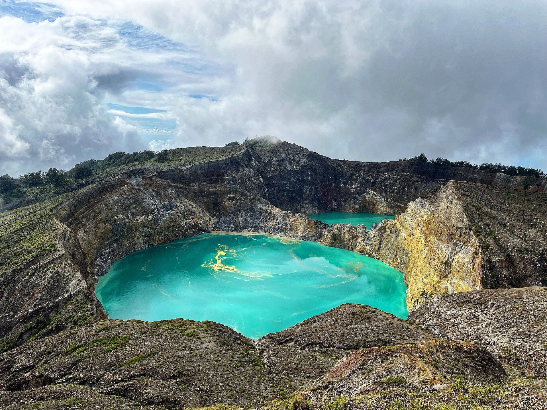
A volcano on the island of Flores crowned by three crater lakes that change colour independently and unpredictably — turquoise, green, black, brown, or red — each tied in local belief to the resting place of departed souls.
What makes it marvelous
Kelimutu holds three summit crater lakes, side by side yet chemically distinct, and each shifts colour on its own schedule — from turquoise and green to black, brown, and even deep red — over months or years. The changes are driven by volcanic activity beneath them: gases and mineral-rich fluid welling up from vents on the lake floors alter the water's chemistry, so its content of dissolved iron, manganese, and other elements — and the balance of oxidation in each lake — keeps changing. The result is that two lakes separated only by a thin rock wall can glow completely different colours, and neither stays the same for long. The two eastern lakes share a single dividing crater wall, yet they are plumbed by separate vents, which is why they can hold entirely different colours at the same moment. Kelimutu lies within its own national park.
Why visit
Climbing to the summit for sunrise and watching light spill across three lakes of different, shifting colours — with no certainty which shades you will find on the day — is a genuinely singular experience. It is a short, accessible walk to one of the most surreal viewpoints in Indonesia, on an island most visitors to Indonesia never reach.
Still deciding?
Kelimutu comes up most often against one other place — each one weighs cost, effort, season and crowds side by side.
More views of Kelimutu
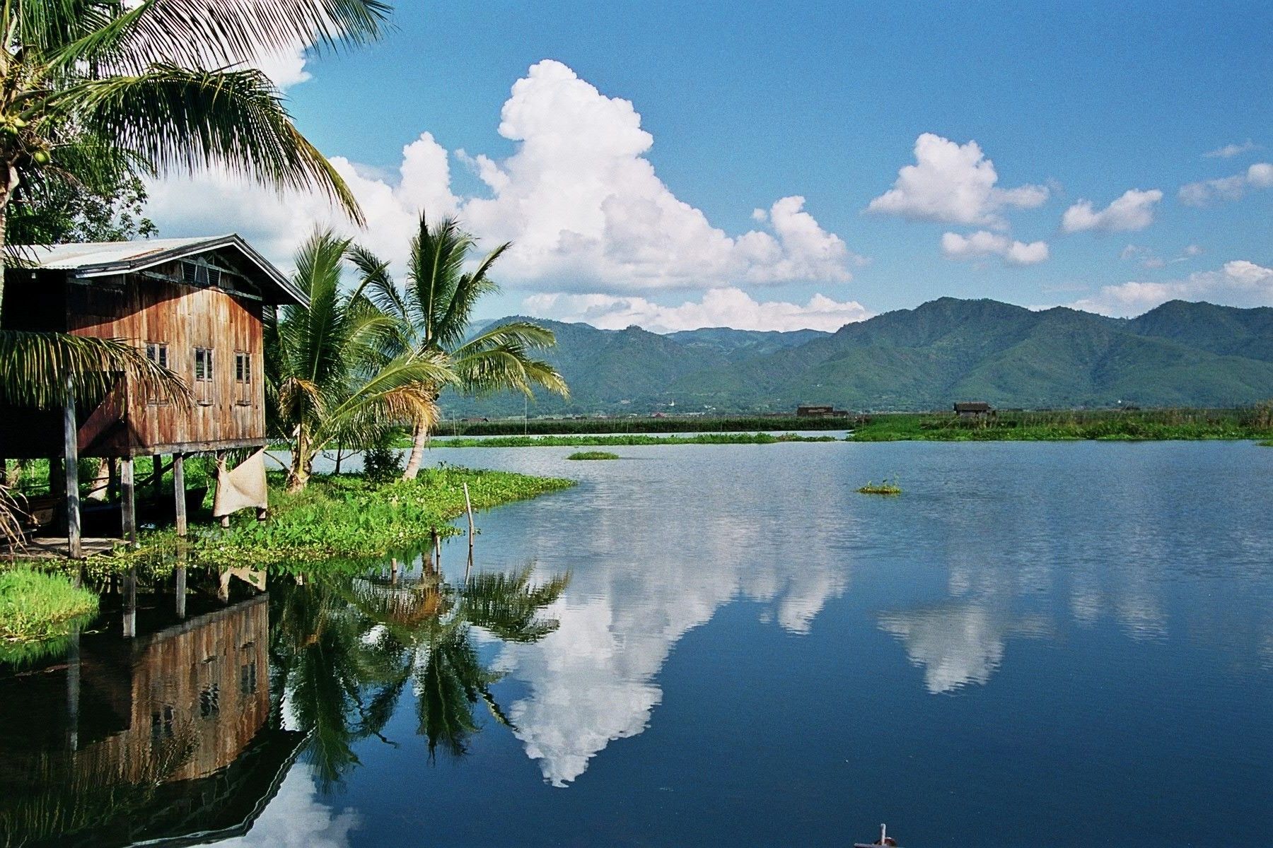
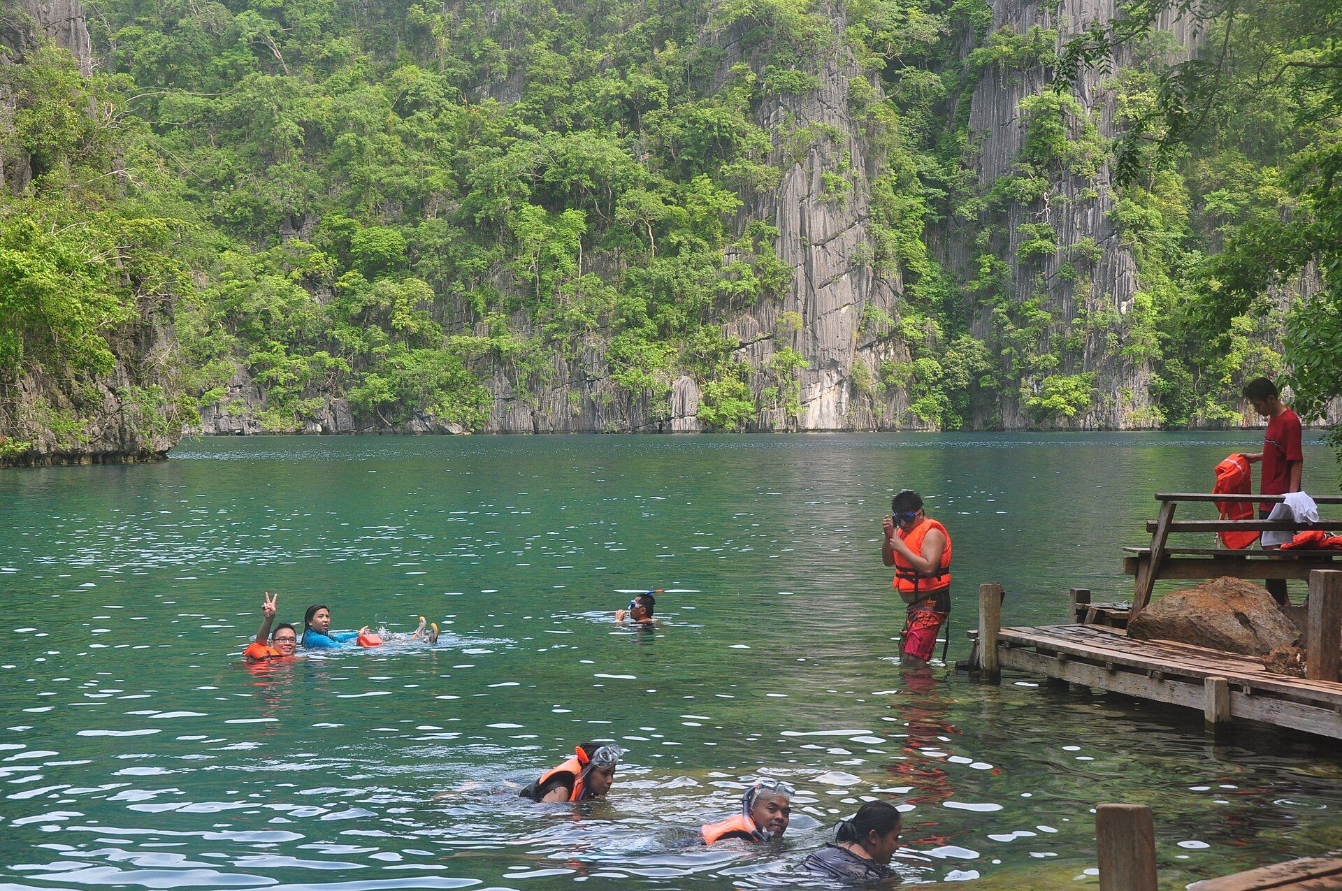
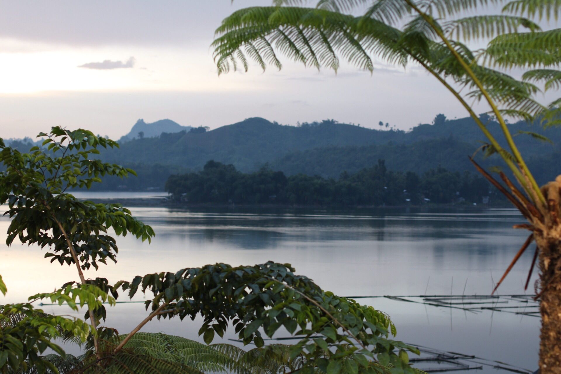
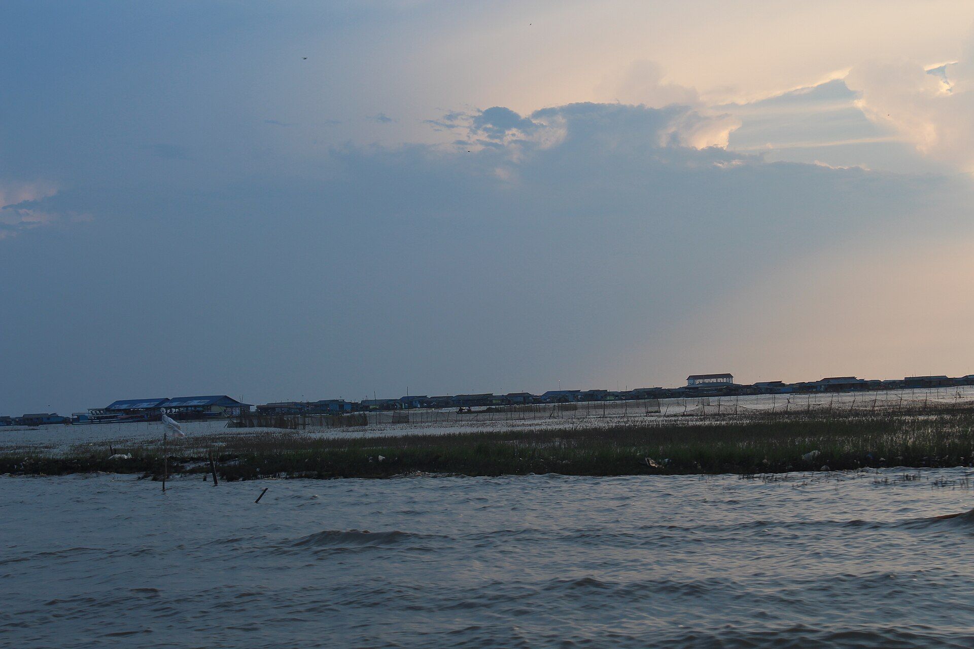
Additional photographs of the actual site — each freely licensed, with its photographer and licence credited.
What to know before you go
🗓️ Best time
Dry season (roughly May–September) for clear skies and safe trails; arrive for sunrise, before cloud and mist typically roll in and veil the lakes later in the morning.
🧭 Getting there & access
From the village of Moni on Flores, drive up toward the summit car park before dawn, then walk the final stretch of steps to the viewpoints. Moni is reached by road from Ende or Maumere.
Good to know
- Go for sunrise — the lakes are clearest before the mid-morning cloud arrives.
- Bring a warm layer; the summit is cold and dark in the pre-dawn hours.
- Stay behind the railings — the crater rims are steep and the lakes are dangerous.
Plan your visit
Easy🧭 Getting there
From Ende (ENE) or Maumere (MOF), staging in Moni
- Fly to Ende or Maumere on Flores
- Drive to the village of Moni — roughly 1.5–2.5 hours
- Pre-dawn drive up to the summit car park, then a short walk to the viewpoints
- Total travel
- An overnight in Moni, then a pre-dawn ascent
- Time at site
- A sunrise visit of 2–3 hours; longer to walk the rim trails
- Access
- A ticketed national park. The road climbs most of the way; a flight of steps leads to the main viewpoint. Cloud often closes in later in the morning, so an early start is the key to seeing the lakes.
🎒 What to bring & consider
- A warm layer and a head torch for the cold, dark pre-dawn walk
- Transport arranged the night before from Moni for the early start
- Sturdy shoes for the steps and rim paths
- A little cash for the park entry ticket
- Respect for the marked barriers — the crater rims are loose and the drops are sheer
👁️ What to expect
- Crowds
- Sunrise gathers a modest crowd at the main viewpoint; the side trails are quiet.
- Conditions
- A short, easy walk on steps and paths, cold before dawn, warming quickly after.
- Facilities
- Basic — parking, ticket booth, small stalls; guesthouses and food down in Moni.
- The view
- The colours read best in early sun; which colours you get is genuinely up to the mountain.
Times and requirements are approximate and change with season, weather, and local rules — confirm permits, fares, and schedules with operators before you travel.
Natural riches of the area
- Three volcanic crater lakes of independently changing colour
- Mineral-rich, gas-fed waters over active volcanic vents
- A summit viewpoint over the highlands of central Flores
- Cloud forest and endemic wildlife on the volcano's slopes
Local food
- Jagung titi
- Flores-style flattened, toasted corn, a staple snack of the region.
- Se'i
- Smoked meat from Nusa Tenggara, traditionally cured over low heat.
- Flores coffee
- Arabica grown in the island's volcanic highlands, including around Bajawa.
On the island of Flores, the volcano Kelimutu keeps one of the strangest sights in Indonesia: three crater lakes, set almost side by side at its summit, that refuse to agree on a colour. One may be turquoise while its neighbour is black; over months or years each drifts through greens, browns, and even deep blood-red, on its own unpredictable schedule. Two lakes divided by nothing more than a thin wall of rock can glow entirely different hues.
The cause lies beneath the water. Volcanic gases and mineral-laden fluid rise through vents on the lake floors, constantly altering the chemistry — the dissolved iron and manganese, the balance of oxidation — so no lake holds its colour for long. It is less a fixed landscape than a slow, living reaction, and no one can tell you in advance which shades you will find on any given morning.
The two eastern lakes sit side by side, divided by nothing more than a single crater wall, yet each is fed by its own vents — which is how one can be turquoise while its neighbour, metres away, is deep red or black. Nobody can predict the colours in advance, and the park publishes no schedule for them. Visitors climb before dawn from the village of Moni, walk the last steps to the rim as the sky lightens, and watch the sun reveal three impossible, ever-changing colours — a short walk to one of the most surreal viewpoints on Earth.
Kelimutu: common questions
How do you get to Kelimutu?
From Ende (ENE) or Maumere (MOF), staging in Moni: Fly to Ende or Maumere on Flores; Drive to the village of Moni — roughly 1.5–2.5 hours; Pre-dawn drive up to the summit car park, then a short walk to the viewpoints. Total travel time: An overnight in Moni, then a pre-dawn ascent.
When is the best time to visit Kelimutu?
Dry season (roughly May–September) for clear skies and safe trails; arrive for sunrise, before cloud and mist typically roll in and veil the lakes later in the morning.
How long should you spend at Kelimutu?
A sunrise visit of 2–3 hours; longer to walk the rim trails. Total travel time: An overnight in Moni, then a pre-dawn ascent.
What should you bring to Kelimutu?
A warm layer and a head torch for the cold, dark pre-dawn walk Transport arranged the night before from Moni for the early start Sturdy shoes for the steps and rim paths A little cash for the park entry ticket Respect for the marked barriers — the crater rims are loose and the drops are sheer
Do you need a permit or guide for Kelimutu?
A ticketed national park. The road climbs most of the way; a flight of steps leads to the main viewpoint. Cloud often closes in later in the morning, so an early start is the key to seeing the lakes.
Is Kelimutu crowded, and what are conditions like?
Sunrise gathers a modest crowd at the main viewpoint; the side trails are quiet. A short, easy walk on steps and paths, cold before dawn, warming quickly after. Facilities: Basic — parking, ticket booth, small stalls; guesthouses and food down in Moni.
Added Updated
More wonders to explore