South Luangwa National Park
📍 Luangwa Valley, Eastern Province, Zambia
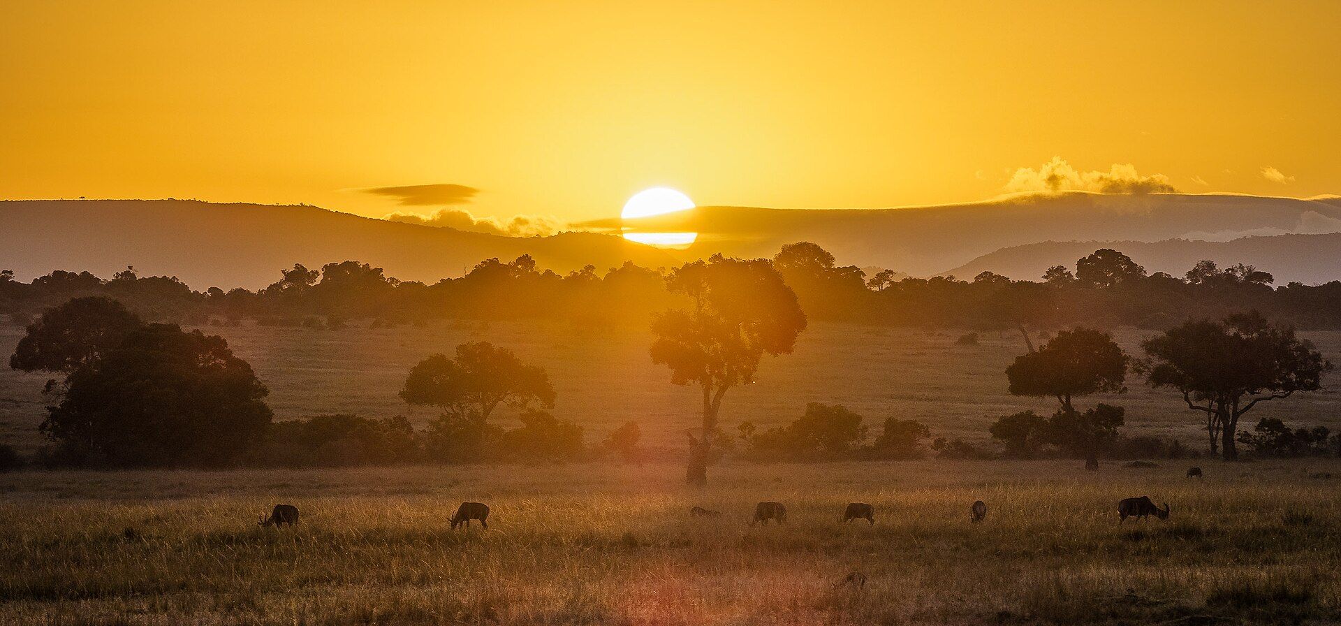
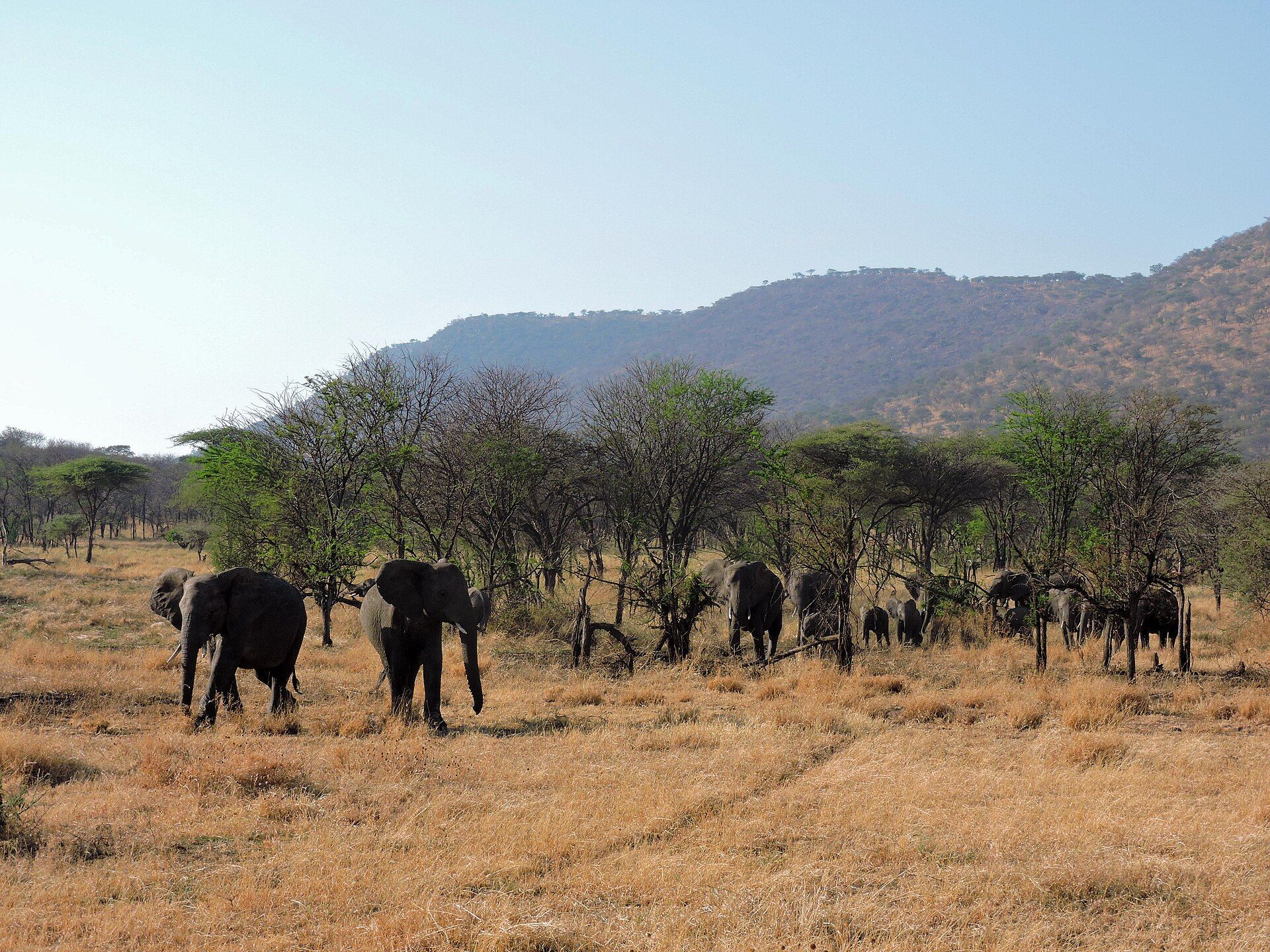
Nine thousand square kilometres at the southern end of the East African Rift, built around a river that moves every year — and the place where the walking safari was invented.
What makes it marvelous
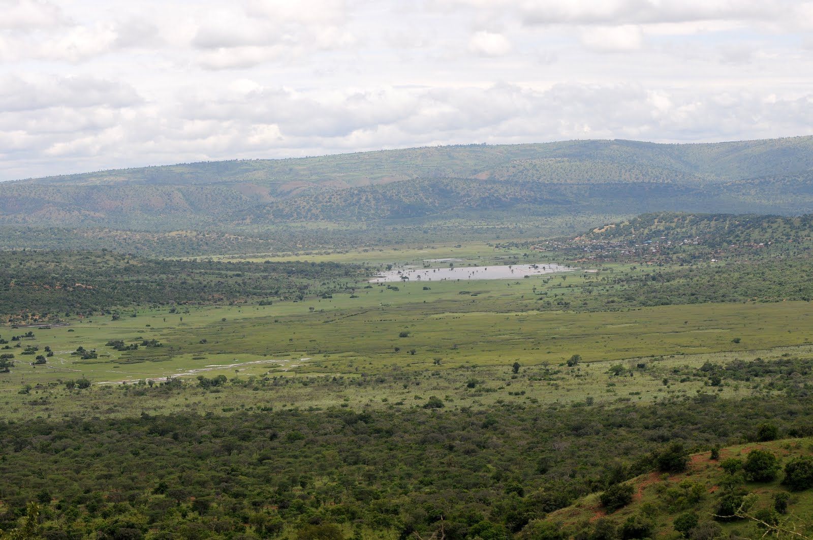
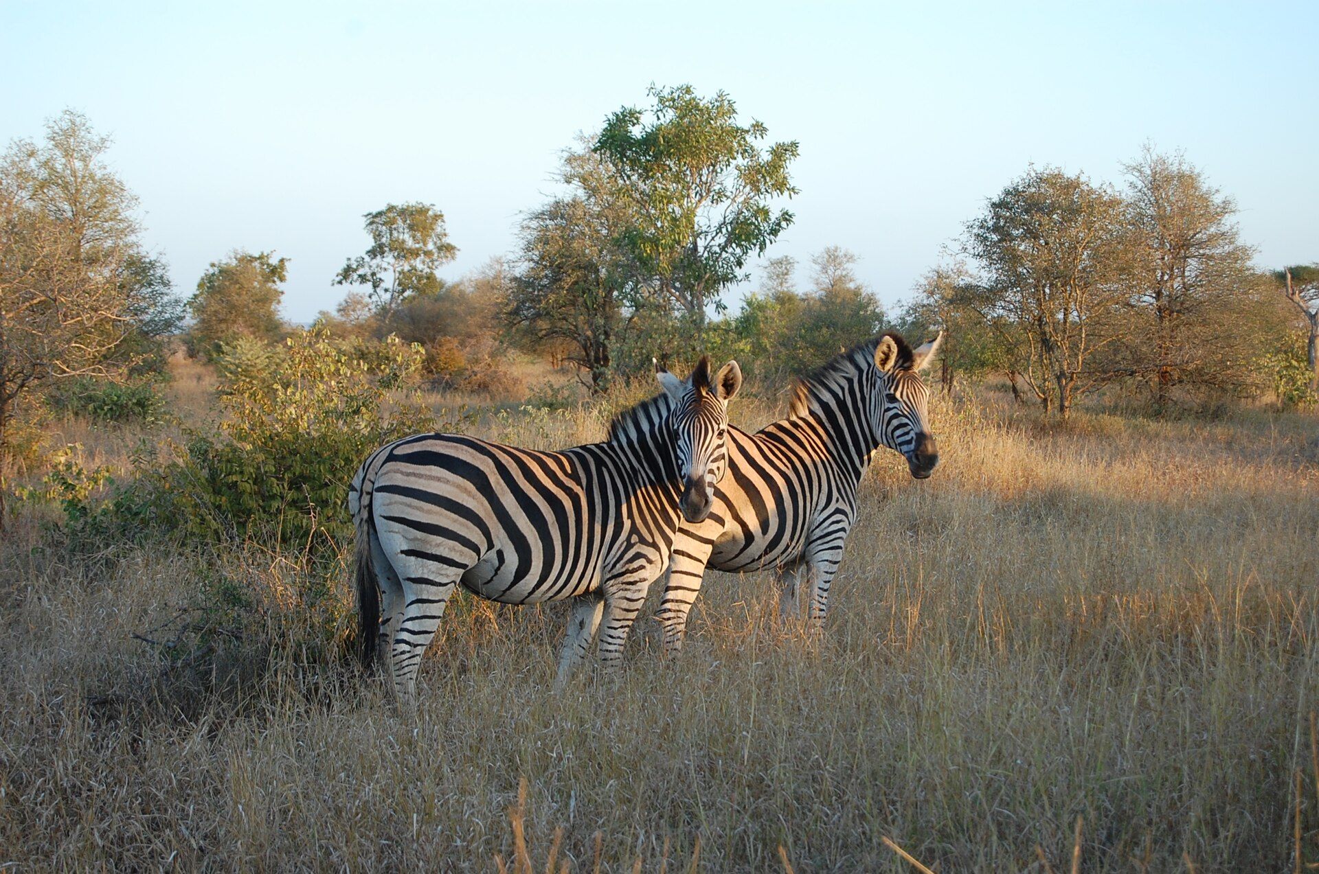
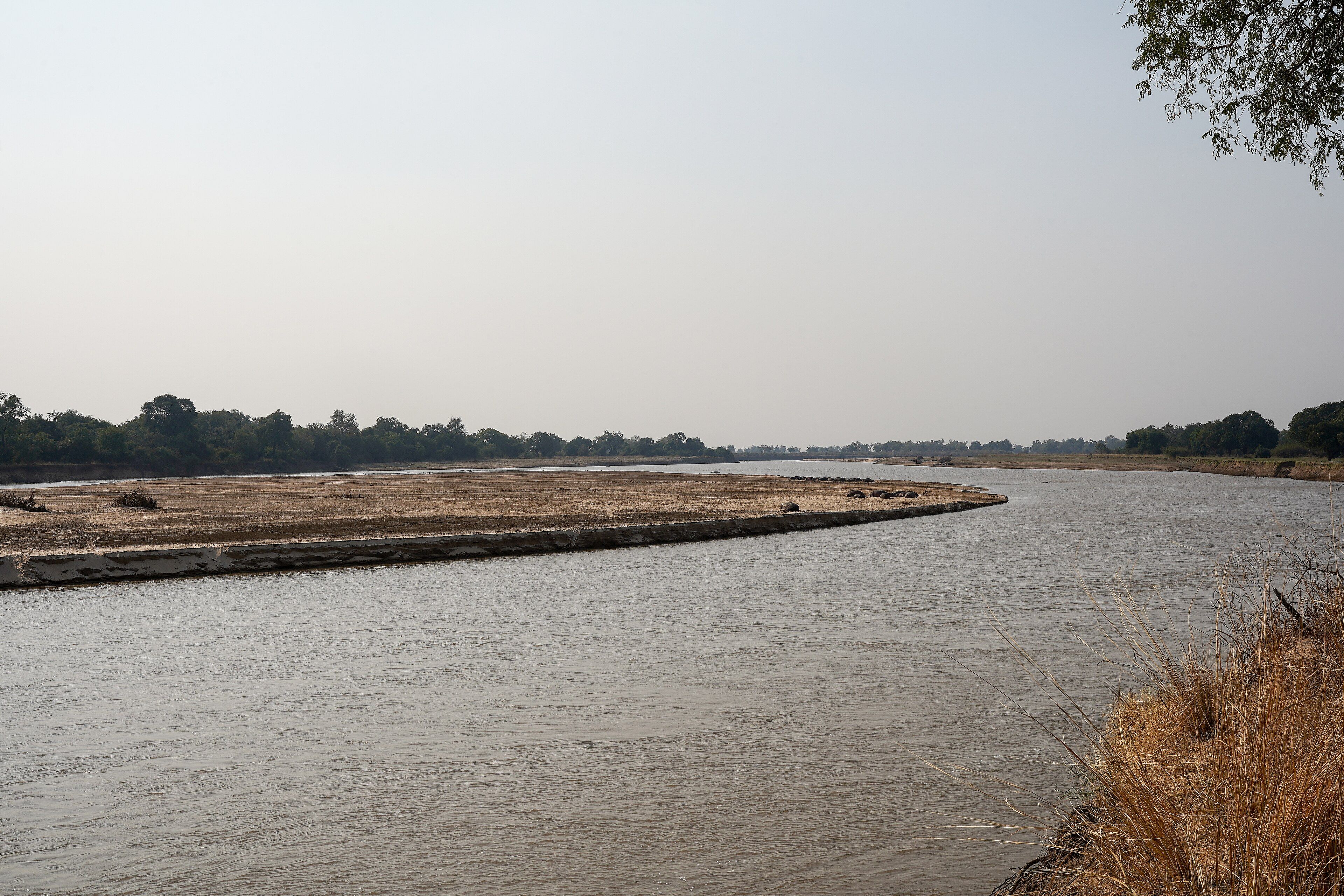
The Luangwa Valley is the far southern end of the East African Rift, and the river running down it has never been fixed in place. It meanders hard, cuts through its own bends, and leaves behind oxbow lagoons that hold water into the dry season — which is why game concentrates here so tightly as everything else dries out. The park covers 9,050 square kilometres between the river on its eastern side and the Muchinga Escarpment on its western, with miombo woodland on the higher slopes and mopane in the hot valley bottom. More than 400 bird species and over 60 mammal species have been recorded. Several occur nowhere else or almost nowhere else: the giraffe population here, long known as Thornicroft's, is found only in this valley, as are Cookson's wildebeest and Crawshay's zebra. The Nsefu sector in the north has some of the highest recorded leopard densities in southern Africa. It is also where the modern walking safari began — Norman Carr set up camps in the 1950s on the principle that visitors would come with cameras rather than rifles, and it worked.
Why visit
Walking is the reason. Being on foot changes what you notice — tracks, dung, birdsong, the smell of an animal before you see it — and South Luangwa has done it longer and better than anywhere. The river adds the other half: hippo pods packed into shrinking channels, crocodiles on the sandbanks and elephants crossing in the open, all within sight of the same bend.
What to know before you go
🗓️ Best time
June to October is the dry season and the classic game-viewing window, with animals concentrated on the river and lagoons and September and October the most intense. Many camps close during the emerald season from December to March, when the valley floods, the roads dissolve and the birding is at its best.
🧭 Getting there & access
Mfuwe, just outside the park's eastern boundary, has an airport with flights from Lusaka, and the main gate is a short drive from it. Overland from Lusaka is a long day on roads that vary. Camps arrange transfers, game drives and walks; a licensed guide and an armed scout are required for walking safaris.
Good to know
- Book at least one walking safari — this is the place that invented them, and vehicles show you less.
- Night drives are permitted here and are where the leopards and genets show up.
- September and October are hot — well over 40 °C is normal — but the game viewing is unmatched.
- If you want green, birds and dramatic skies rather than concentrated game, come in the emerald season and accept the mud.
Plan your visit
Moderate🧭 Getting there
From Lusaka (LUN), Zambia
- Fly into Lusaka
- Take a scheduled light-aircraft flight to Mfuwe
- Transfer by road to a camp inside or beside the park
- Combine game drives, night drives and walking safaris from there
- Total travel
- About 2 hours from Lusaka by air
- Time at site
- 4–5 nights; longer if you want a walking trail between bush camps
- Access
- Park entry fees are charged per person per day and are usually handled by the camp. Walking safaris must be led by a licensed guide accompanied by an armed scout — this is a legal requirement, not an upsell. Many bush camps operate only in the dry season and close entirely when the valley floods.
🎒 What to bring & consider
- Neutral-coloured clothing and closed shoes for walking safaris
- Serious sun protection; October heat in the valley is extreme
- Binoculars — the birding here is a large part of the value
- Antimalarials and repellent; this is a malaria area
- Cash in kwacha or US dollars for park fees and tips
👁️ What to expect
- Crowds
- Light by African safari standards, and much lighter in the north of the park than around Mfuwe.
- Conditions
- Very hot and dry from August to October; wet, green and largely impassable from December to March.
- Facilities
- A wide range of camps and lodges from simple to luxurious, mostly along the river. Nothing in the park interior.
- The view
- A leopard on a fallen ebony in the last light of a night drive, or hippo pods packed into a shrinking channel from the bank at sunset.
Times and requirements are approximate and change with season, weather, and local rules — confirm permits, fares, and schedules with operators before you travel.
Natural riches of the area
- 9,050 km² at the southern end of the East African Rift
- The meandering Luangwa River and its oxbow lagoons, which hold water through the dry season
- Over 400 bird species and more than 60 mammal species
- Thornicroft's giraffe, Cookson's wildebeest and Crawshay's zebra, restricted to this valley
- Miombo woodland on the escarpment, mopane and floodplain grassland in the valley
Local food
- Nshima
- Stiff maize porridge, eaten by hand with relish — the base of every Zambian meal.
- Ifisashi
- Greens stewed with groundnut paste.
- Kapenta
- Small dried freshwater fish, fried and served with nshima.
- Chikanda
- A dense loaf of ground wild orchid tubers and groundnuts, sometimes called African polony.
The Luangwa Valley is the last thing the East African Rift does before it runs out. The river down its middle has never been persuaded to hold a line: it meanders hard, cuts across its own loops in flood, and abandons bends that become crescent lagoons on the floodplain. Those lagoons are the reason the park works. As the dry season tightens and the valley bakes, they keep water where the river no longer runs, and everything comes to them.
The park covers 9,050 square kilometres between the river and the Muchinga Escarpment — miombo woodland on the higher ground, mopane down in the heat, floodplain grassland along the water. Over 400 bird species and more than 60 mammals have been recorded here, and the valley’s isolation has produced populations that occur essentially nowhere else: the giraffe here, long known as Thornicroft’s, and Cookson’s wildebeest and Crawshay’s zebra alongside it. In the Nsefu sector to the north, leopards are found at some of the highest densities recorded anywhere in southern Africa.
What South Luangwa is best known for, though, is a method rather than a species. In the 1950s Norman Carr set up camps in the valley on a premise that was unusual at the time — that people would pay to come and photograph animals instead of shooting them — and in doing so effectively invented the walking safari. It is still the thing to do here. On foot you move slowly and notice a different set of things: tracks in dust, a hippo path worn into a bank, the alarm call that tells you what is ahead before you see it. A vehicle covers more ground and shows you less.
Not everything has held. The park’s black rhinos were gone by 1987, and elephant numbers have come under heavy pressure more than once. But the valley remains one of the least-visited great wildlife areas in Africa, partly because there are no roads across it at all — which is also, not coincidentally, why so much of it survived.
South Luangwa National Park: common questions
How do you get to South Luangwa National Park?
From Lusaka (LUN), Zambia: Fly into Lusaka; Take a scheduled light-aircraft flight to Mfuwe; Transfer by road to a camp inside or beside the park; Combine game drives, night drives and walking safaris from there. Total travel time: About 2 hours from Lusaka by air.
When is the best time to visit South Luangwa National Park?
June to October is the dry season and the classic game-viewing window, with animals concentrated on the river and lagoons and September and October the most intense. Many camps close during the emerald season from December to March, when the valley floods, the roads dissolve and the birding is at its best.
How long should you spend at South Luangwa National Park?
4–5 nights; longer if you want a walking trail between bush camps. Total travel time: About 2 hours from Lusaka by air.
What should you bring to South Luangwa National Park?
Neutral-coloured clothing and closed shoes for walking safaris Serious sun protection; October heat in the valley is extreme Binoculars — the birding here is a large part of the value Antimalarials and repellent; this is a malaria area Cash in kwacha or US dollars for park fees and tips
Do you need a permit or guide for South Luangwa National Park?
Park entry fees are charged per person per day and are usually handled by the camp. Walking safaris must be led by a licensed guide accompanied by an armed scout — this is a legal requirement, not an upsell. Many bush camps operate only in the dry season and close entirely when the valley floods.
Is South Luangwa National Park crowded, and what are conditions like?
Light by African safari standards, and much lighter in the north of the park than around Mfuwe. Very hot and dry from August to October; wet, green and largely impassable from December to March. Facilities: A wide range of camps and lodges from simple to luxurious, mostly along the river. Nothing in the park interior.
Added