🇿🇲 Natural wonders of Zambia
A landlocked plateau country defined by its rivers — the Zambezi, the Kafue and the Luangwa — with roughly a third of its territory under some form of protection and the walking safari as its own invention.
🗓️ Best time for nature: May to October is the dry season and the main safari window, with September and October the most concentrated game viewing and the greatest heat. The emerald season from December to March floods the valleys, closes many bush camps and turns the birding exceptional.
The lay of the land
Zambia sits on a high plateau, mostly between 1,000 and 1,400 metres, and its landscapes are organised by three river systems. The Zambezi runs along the southern border, dropping over the basalt lip at Victoria Falls before entering the Batoka Gorge. The Kafue crosses the middle of the country through the vast seasonally flooded grasslands of the Kafue Flats. The Luangwa runs down the far southern arm of the East African Rift in the east, meandering hard across its own floodplain and leaving oxbow lagoons that hold water into the dry season. Miombo woodland covers most of the plateau, giving way to mopane in the hot valley bottoms and to floodplain grassland along the rivers. Something close to a third of the country's area carries protected status of some kind, in national parks and game management areas.
Where to begin
-
South Luangwa National Park
9,050 km² in the Luangwa Valley, with exceptional leopard densities and the walking safari where it was invented.
A taste of the place
Nshima, a stiff maize porridge eaten by hand, is the base of nearly every Zambian meal, served with relish — greens in groundnut sauce, beans, dried kapenta fish or meat. Chikanda, a dense loaf of ground wild orchid tubers and groundnuts, is a distinctive speciality of the north.
Traveling responsibly
- Light aircraft are how the parks are reached; road transfers from Lusaka take most of a day or more.
- Book at least one walking safari — Zambia does them better than anywhere, and by law with a guide and armed scout.
- Many bush camps close entirely from December to March when the valleys flood.
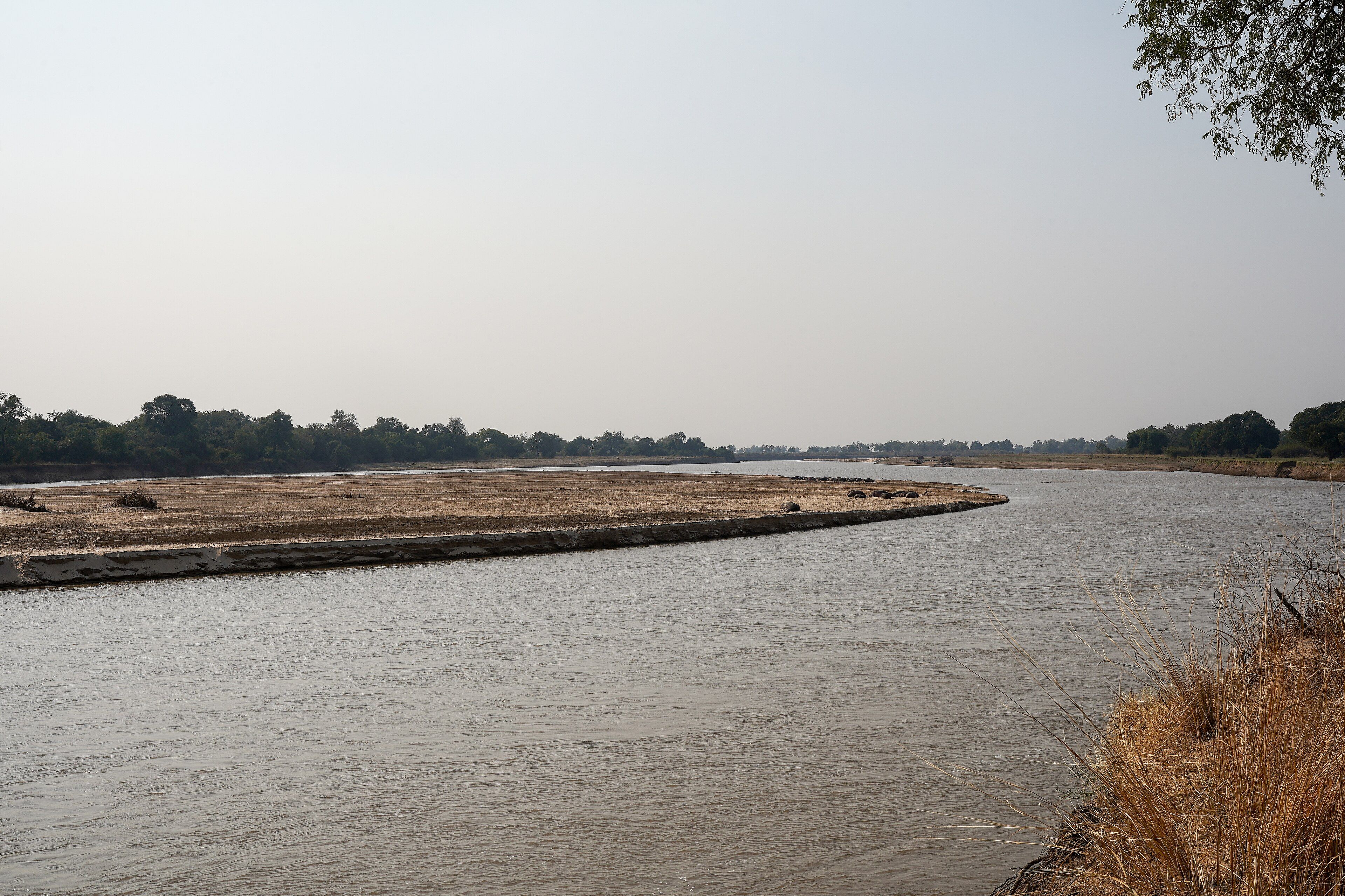
Zambia is a plateau with rivers cut into it, and the rivers are what organise everything. The Zambezi runs along the southern border and drops over a basalt lip into a zigzag of gorges. The Kafue crosses the middle through the Kafue Flats, a vast seasonally flooded grassland. And in the east, the Luangwa runs down the last stretch of the East African Rift, meandering so hard across its own floodplain that it regularly cuts through its own bends and leaves them behind as crescent lagoons.
Those lagoons are why South Luangwa works as a wildlife area. When the dry season tightens and the valley bakes, they hold water where the river no longer reaches, and everything concentrates around them. The park covers 9,050 square kilometres, has recorded over 400 bird species and more than 60 mammals, and holds populations found essentially nowhere else — Thornicroft’s giraffe, Cookson’s wildebeest, Crawshay’s zebra.
Zambia’s other contribution is a method. In the 1950s Norman Carr set up camps in the Luangwa Valley on the premise that people would pay to photograph animals rather than shoot them, and in doing so effectively invented the walking safari. It remains the country’s signature way of seeing wildlife, still done with a licensed guide and an armed scout, and still the reason a lot of people choose Zambia over its better-known neighbours.
Added
All wonders in Zambia
1 places