Mayon Volcano
📍 Albay, Bicol Region, Philippines
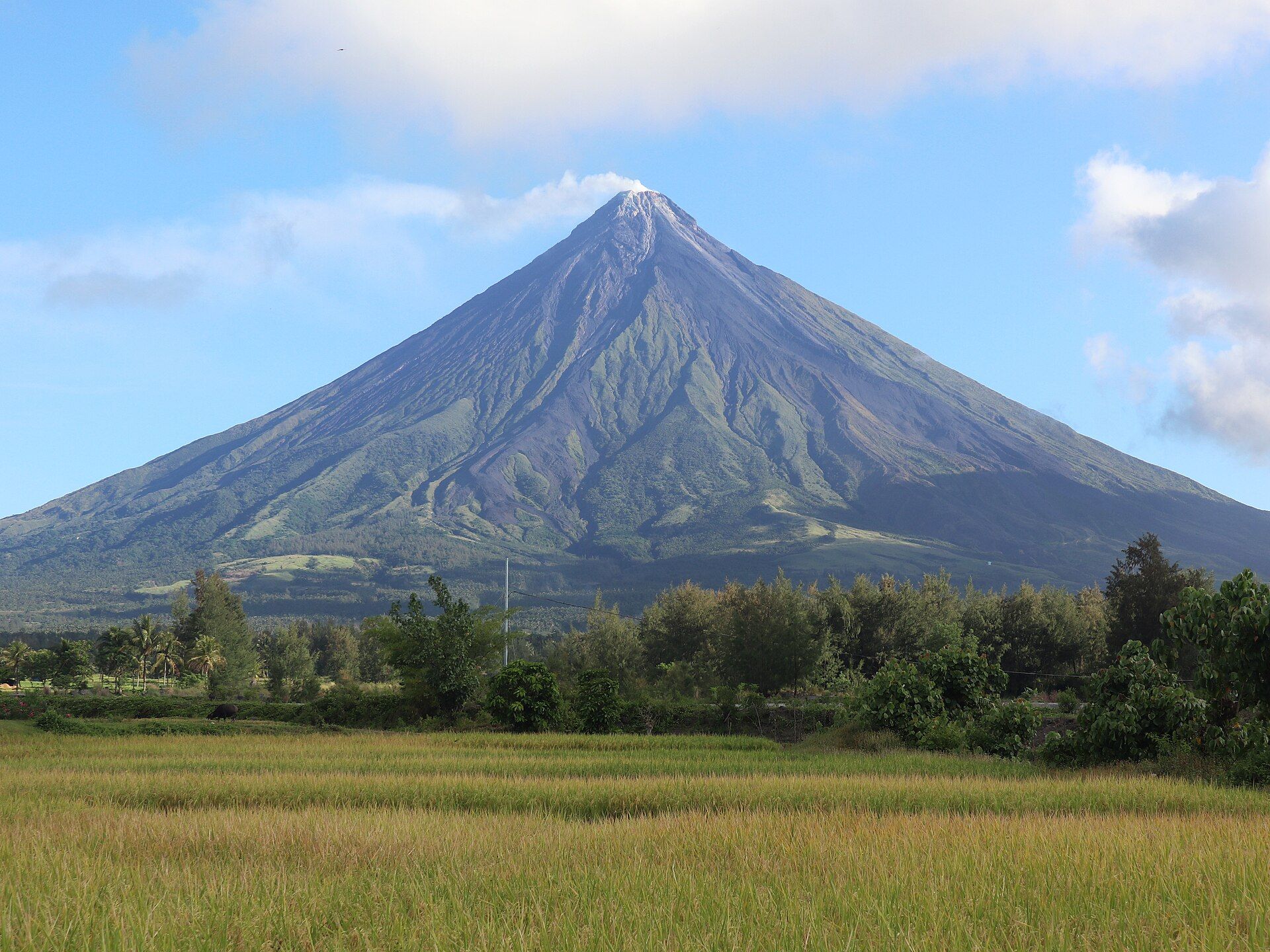
The Philippines' most active volcano and, by many accounts, the most perfectly symmetrical cone on Earth — a 2,463-metre stratovolcano that dominates the Bicol skyline and, as of mid-2026, is in active eruption.
What makes it marvelous
Mayon's near-flawless cone is built from thousands of years of layered lava and ash from frequent, small-to-moderate eruptions. Its symmetry is a textbook consequence of that eruptive style. The volcano is the centrepiece of a UNESCO-designated Geopark, and its slopes preserve the Cagsawa ruins — a church tower half-buried by the catastrophic 1814 eruption, a sobering marker of its power.
Why visit
Even from a safe distance, Mayon is unforgettable: a green-and-grey cone rising cleanly from the plain, often trailing a plume, framed by the Cagsawa belfry and Bicol's rice fields. During periods of activity, glowing lava and ash columns are visible at night from designated viewpoints in and around Legazpi.
More views of Mayon Volcano
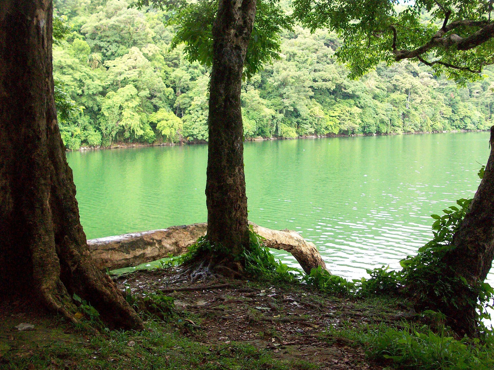
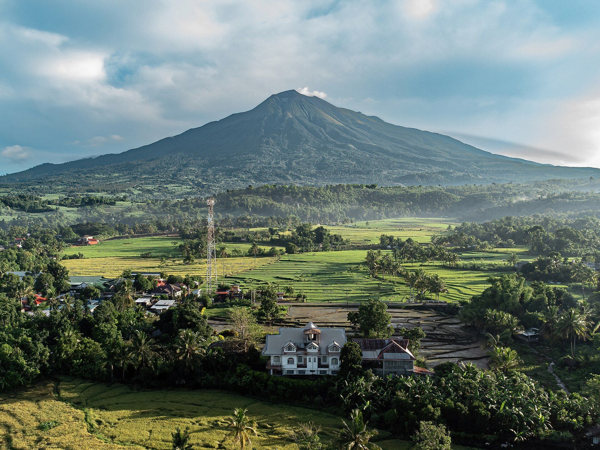
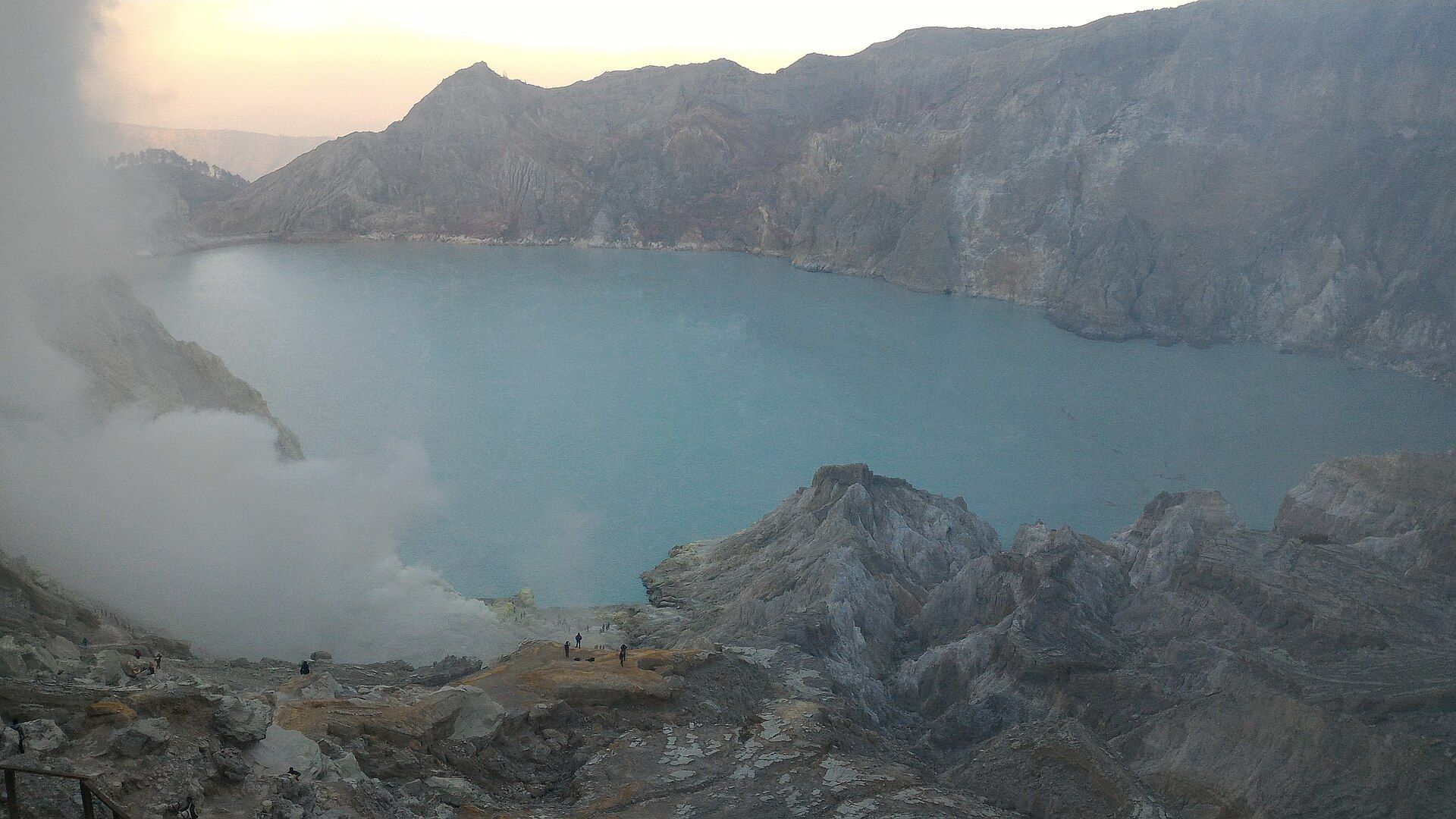
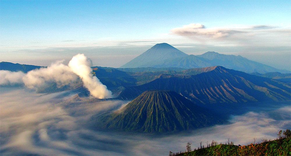
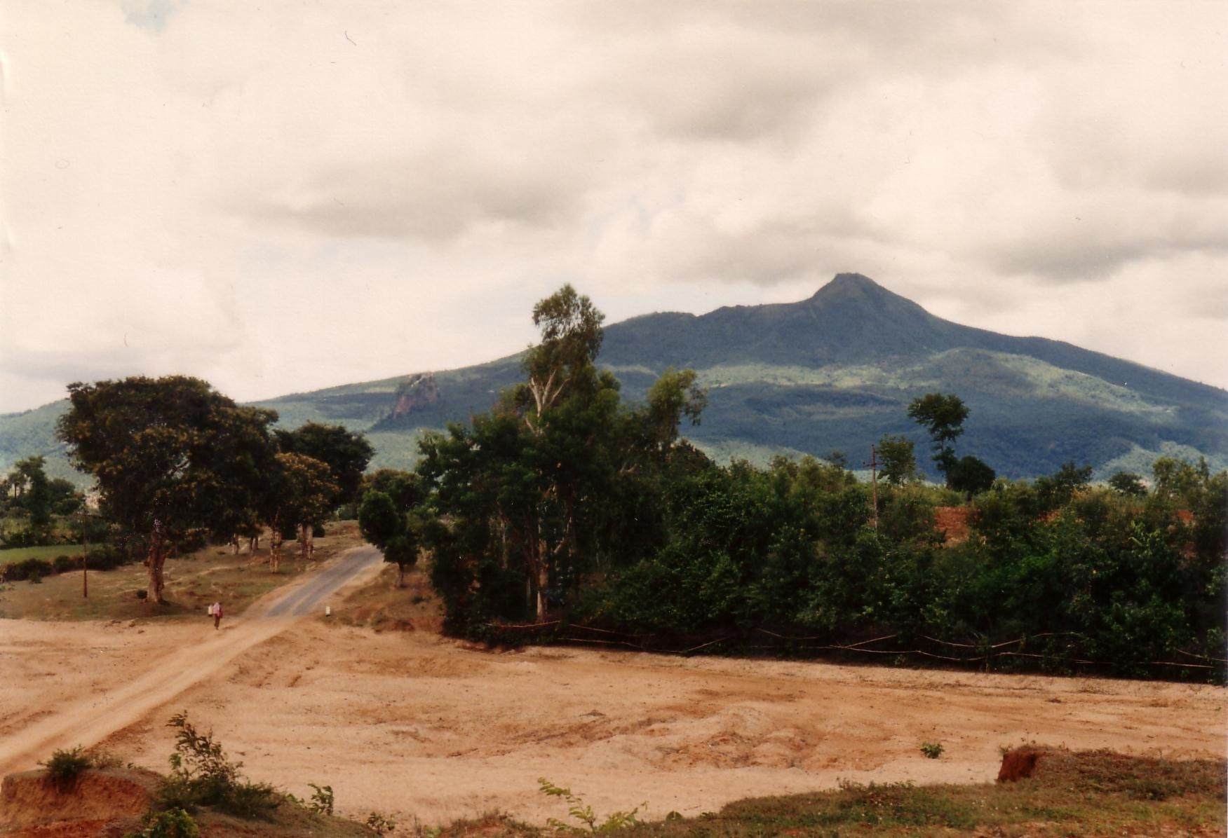
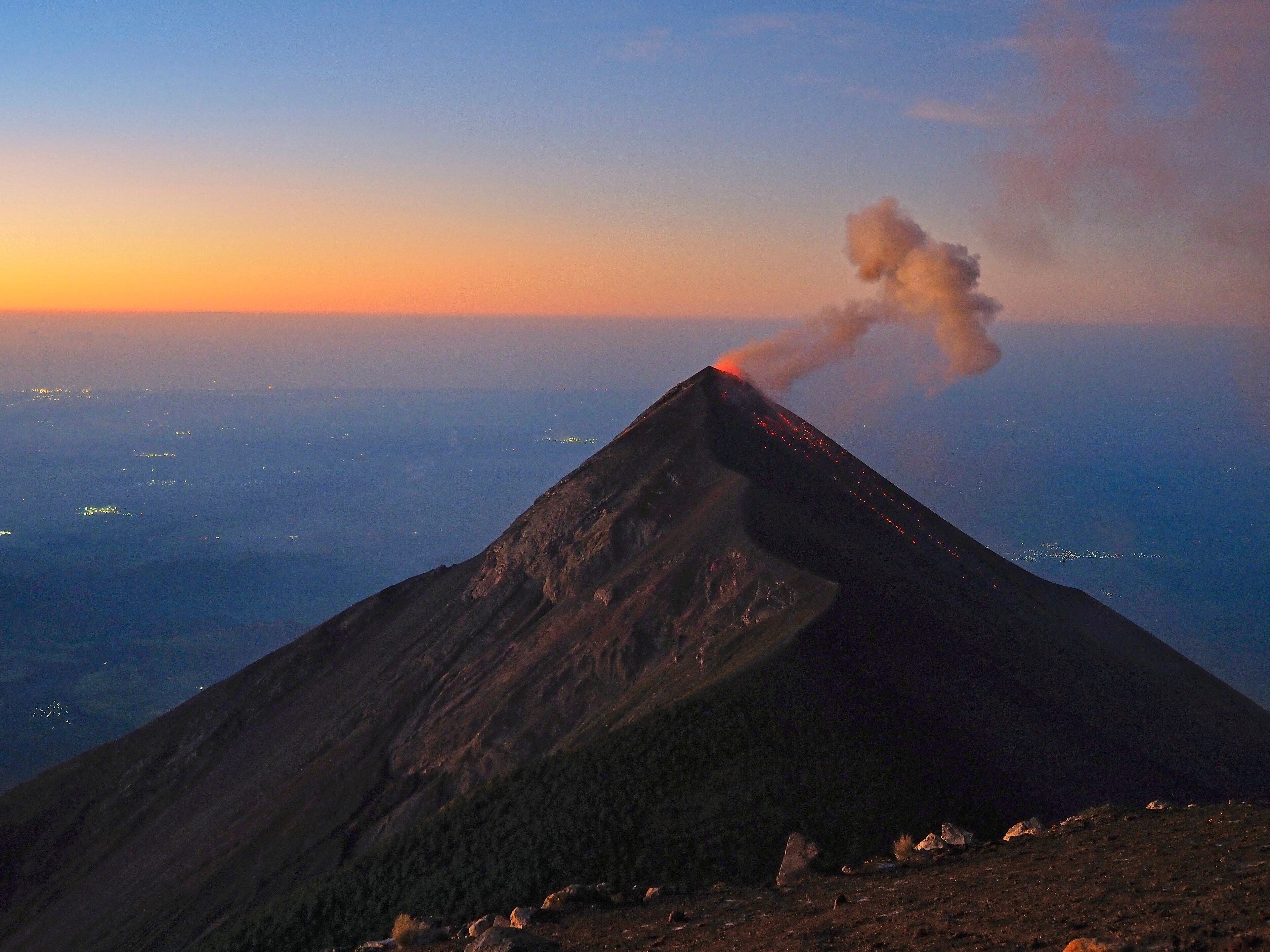
Additional photographs of the actual site — each freely licensed, with its photographer and licence credited.
What to know before you go
🗓️ Best time
Views are clearest in the dry months (roughly February–May). IMPORTANT: as of July 2026 Mayon is at Alert Level 3 with an ongoing eruption — the 6-km Permanent Danger Zone is off-limits and climbing is prohibited. Enjoy it only from safe, authority-approved viewpoints, and check PHIVOLCS before travelling.
🧭 Getting there & access
Fly or take the train/bus to Legazpi City in Albay. Classic safe viewpoints include the Cagsawa Ruins, Lignon Hill, and Sumlang Lake. Do not attempt to enter the danger zone or climb during unrest; follow local government and PHIVOLCS advisories.
Good to know
- Check the current PHIVOLCS alert level the week you travel — conditions change fast.
- Never enter the 6-km Permanent Danger Zone; view from approved sites only.
- Early morning gives the best chance of a cloud-free summit; Mayon is often shy by midday.
Plan your visit
Easy🧭 Getting there
From Legazpi (LGP), Albay
- Fly Manila to Legazpi — about 1h
- Short drive to viewpoints such as Cagsawa Ruins or Lignon Hill — 15–30 minutes
- Higher approaches by 4x4 and on foot, when the alert level permits
- Total travel
- A little over an hour from Manila to the first viewpoints
- Time at site
- Half-day for viewpoints; full-day or overnight for higher trekking when open
- Access
- Viewpoints are freely accessible. The volcano has a permanent danger zone, and climbing is restricted or closed entirely depending on the PHIVOLCS alert level — check the current level before planning anything on the slopes.
🎒 What to bring & consider
- Check the PHIVOLCS alert level first — this is an active volcano and closures are real
- Sun protection; the viewpoints are open and hot
- Patience for cloud — the summit is often hidden
- Cash for local transport and small entry fees
👁️ What to expect
- Crowds
- Cagsawa Ruins is a popular stop and gets busy with tour groups; other viewpoints are usually calm.
- Conditions
- Easy at viewpoint level — a short walk on flat ground. Anything higher is a serious, restricted undertaking.
- Facilities
- Good around Legazpi and at Cagsawa: toilets, cafes, souvenirs.
- The view
- The famously symmetrical cone is frequently wrapped in cloud. Early morning gives the best odds, and a clear full-cone view is genuinely a matter of luck.
Times and requirements are approximate and change with season, weather, and local rules — confirm permits, fares, and schedules with operators before you travel.
Natural riches of the area
- Fertile volcanic soils that make Bicol prime coconut and abaca country
- Geothermal heat and mineral-rich ash
- Rivers and lahars draining the cone (a hazard as well as a resource)
- Endemic forest on the lower slopes within the Mayon Volcano Natural Park
Local food
- Bicol Express
- A fiery stew of pork, coconut milk, shrimp paste, and plenty of chilli — Bicol's most famous dish.
- Laing
- Dried taro leaves slow-cooked in coconut milk with chilli, rich and creamy.
- Pili nuts
- Buttery native nuts from the Bicol region, eaten roasted, candied, or in pastries.
Mayon is the volcano people draw when they imagine a volcano: a single, almost geometrically perfect cone rising from the Bicol plain. That symmetry is earned. Mayon erupts often — small to moderate events, again and again over centuries — and each one lays down another even coat of lava and ash, building the cone layer by patient layer.
That same activity makes it dangerous. The 1814 eruption buried the town of Cagsawa; today only the church belfry stands above the old lahar, one of the country’s most striking reminders that a beautiful volcano is still a working one. As of mid-2026 Mayon is erupting, at Alert Level 3, with lava on its flanks and ash plumes above the summit. The six-kilometre Permanent Danger Zone is closed, and climbing is off the table.
None of that diminishes it — if anything, it sharpens the awe. From the Cagsawa ruins or Lignon Hill, at a safe distance and with an eye on the official advisories, Mayon is one of the great sights of the Philippines: earth-building happening in real time.
The classic composition — the cone rising cleanly behind a ruined bell tower — comes from the Cagsawa Ruins in Daraga, where the 1814 eruption buried a church and, by contemporary accounts, well over a thousand people who had sheltered inside; only the belfry still stands above the old lahar. Lignon Hill above Legazpi and Sumlang Lake to the south give the other two much-photographed angles, the lake adding a mirror image on still mornings. All three are safe, roadside vantage points well outside the danger zone — which matters, because the mountain’s near-perfect symmetry and its restlessness are two sides of the same coin.
Mayon Volcano: common questions
How do you get to Mayon Volcano?
From Legazpi (LGP), Albay: Fly Manila to Legazpi — about 1h; Short drive to viewpoints such as Cagsawa Ruins or Lignon Hill — 15–30 minutes; Higher approaches by 4x4 and on foot, when the alert level permits. Total travel time: A little over an hour from Manila to the first viewpoints.
When is the best time to visit Mayon Volcano?
Views are clearest in the dry months (roughly February–May). IMPORTANT: as of July 2026 Mayon is at Alert Level 3 with an ongoing eruption — the 6-km Permanent Danger Zone is off-limits and climbing is prohibited. Enjoy it only from safe, authority-approved viewpoints, and check PHIVOLCS before travelling.
How long should you spend at Mayon Volcano?
Half-day for viewpoints; full-day or overnight for higher trekking when open. Total travel time: A little over an hour from Manila to the first viewpoints.
What should you bring to Mayon Volcano?
Check the PHIVOLCS alert level first — this is an active volcano and closures are real Sun protection; the viewpoints are open and hot Patience for cloud — the summit is often hidden Cash for local transport and small entry fees
Do you need a permit or guide for Mayon Volcano?
Viewpoints are freely accessible. The volcano has a permanent danger zone, and climbing is restricted or closed entirely depending on the PHIVOLCS alert level — check the current level before planning anything on the slopes.
Is Mayon Volcano crowded, and what are conditions like?
Cagsawa Ruins is a popular stop and gets busy with tour groups; other viewpoints are usually calm. Easy at viewpoint level — a short walk on flat ground. Anything higher is a serious, restricted undertaking. Facilities: Good around Legazpi and at Cagsawa: toilets, cafes, souvenirs.
Added Updated