Mount Kanlaon
📍 Negros Island, Central Visayas / Negros Island Region
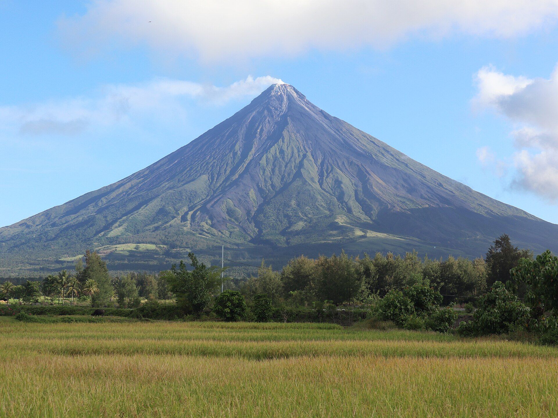
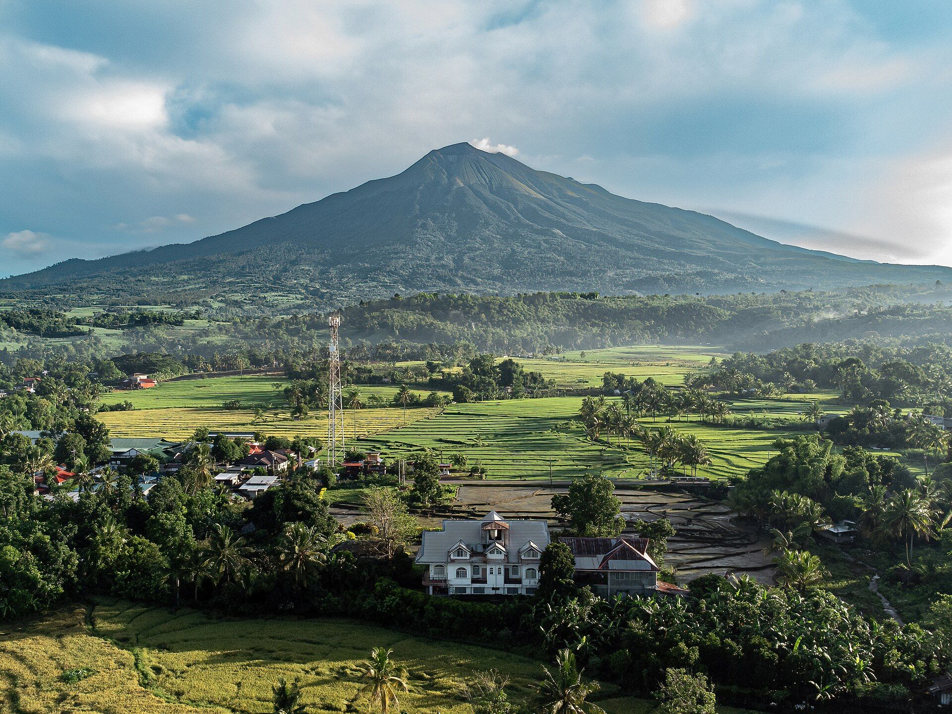
The highest peak in the central Philippines and one of the country's most active volcanoes — a forested stratovolcano crowning Negros, ringed by a national park rich in endemic wildlife.
What makes it marvelous
Kanlaon rises to 2,435 metres, a broad stratovolcano with multiple craters that has erupted many times in recorded history, most recently with explosive activity monitored closely by PHIVOLCS. Its slopes hold one of the largest remaining tracts of rainforest in the Visayas, a refuge for endemic and threatened species including the Visayan spotted deer, Visayan warty pig, and Negros bleeding-heart dove.
Why visit
The mountain is both a serious hiker's summit and a biodiversity stronghold — cloud forest, hot springs, and waterfalls on its flanks, and rare wildlife within Mount Kanlaon Natural Park. From a safe distance it dominates the Negros skyline above sugarcane plains.
What to know before you go
🗓️ Best time
The drier months (roughly March–May) for trekking. IMPORTANT: Kanlaon is active — climbing is frequently restricted or closed and a permanent danger zone applies during unrest. Check PHIVOLCS and the park office before any visit.
🧭 Getting there & access
Reached from Bacolod or Canlaon City on Negros; trekking is via the national park with permits, guides, and quotas — and is suspended during volcanic activity. Lower-slope hot springs and falls are more accessible.
Good to know
- Check the current PHIVOLCS alert level; summit climbs close during unrest.
- Go only with accredited guides and secured park permits.
- The park's real treasure is its endemic wildlife — tread lightly and stay on trails.
Plan your visit
Strenuous🧭 Getting there
From Bacolod (BCD), Negros Occidental — or Canlaon City, Negros Oriental
- Fly → Bacolod (BCD)
- Road Bacolod → Mambucal or Guintubdan trailhead — roughly 1h30–2h
- Trailhead → summit and back — typically 2–3 days when the mountain is open
- Total travel
- Around two hours from Bacolod to a trailhead
- Time at site
- 2–3 days, when climbing is permitted at all
- Access
- Kanlaon is one of the most active volcanoes in the Philippines, and whether you can climb it is decided entirely by its alert level. PHIVOLCS sets that level and the surrounding permanent danger zone, and climbing has been suspended for long stretches — including after significant eruptions — with the mountain simply closed to everyone. When it is open, a DENR permit and an accredited guide are required. Do not plan around any status you read anywhere: check the current PHIVOLCS bulletin and the DENR position before anything else.
🎒 What to bring & consider
- The current PHIVOLCS alert level checked before you book, and again before you travel — this is the entire feasibility question and it changes without much notice
- An N95-type mask and eye protection for ash and sulfur near the crater when access is allowed
- Cold and wind gear for a summit that is far colder than lowland Negros suggests
- Water carried for the whole ridge section, which has no source
- A willingness to abandon the trip, because an alert-level rise closes the mountain the same day
👁️ What to expect
- Crowds
- Popular with domestic climbers in open periods. Empty when closed, which is often.
- Conditions
- Long forest ascents to an open, exposed summit crater. Cold, windy and frequently in cloud. Sulfur near the vent.
- Facilities
- None beyond camps. Mambucal has resorts and hot springs at the base.
- The view
- The active crater from the rim at first light, with the Negros lowlands under cloud. Getting it depends less on your planning than on what the volcano is doing that month.
Times and requirements are approximate and change with season, weather, and local rules — confirm permits, fares, and schedules with operators before you travel.
Natural riches of the area
- Extensive Visayan rainforest and cloud forest
- Endemic wildlife (Visayan spotted deer, warty pig, bleeding-heart dove)
- Fertile volcanic soils supporting Negros sugarcane
- Geothermal energy, hot springs, and headwater rivers
Local food
- Chicken inasal
- Bacolod's famous annatto-and-calamansi grilled chicken, the pride of Negros.
- Piaya & muscovado
- Flaky muscovado-filled flatbread and raw brown sugar from the island's cane fields.
- Fresh seafood & kansi
- A Negros sour beef-marrow soup, plus abundant coastal seafood.
Kanlaon towers over Negros, a forested stratovolcano that is at once the highest point in the central Philippines and one of its most restless volcanoes. It has erupted repeatedly in recorded history, and PHIVOLCS watches it closely; access to the summit opens and closes with its moods.
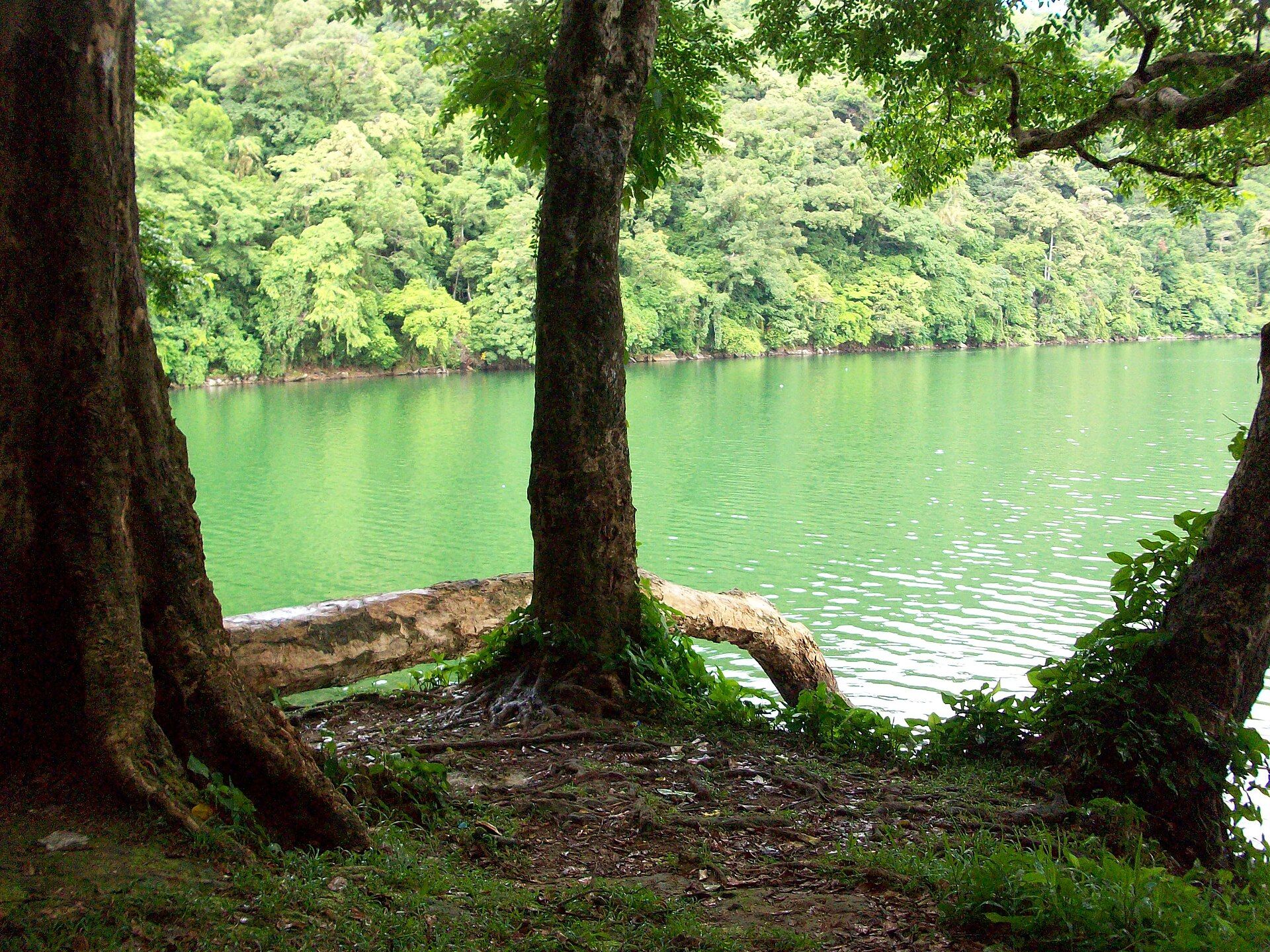
What makes it special beyond the fire is the life on its flanks. Mount Kanlaon Natural Park protects one of the largest surviving rainforests in the Visayas — a last refuge for creatures found nowhere else, like the Visayan spotted deer and the Negros bleeding-heart dove. Hot springs, waterfalls, and cloud forest lace the lower slopes. It’s a mountain best appreciated with respect: for its wildlife, and for the volcano still building it.
Mount Kanlaon: common questions
How do you get to Mount Kanlaon?
From Bacolod (BCD), Negros Occidental — or Canlaon City, Negros Oriental: Fly → Bacolod (BCD); Road Bacolod → Mambucal or Guintubdan trailhead — roughly 1h30–2h; Trailhead → summit and back — typically 2–3 days when the mountain is open. Total travel time: Around two hours from Bacolod to a trailhead.
When is the best time to visit Mount Kanlaon?
The drier months (roughly March–May) for trekking. IMPORTANT: Kanlaon is active — climbing is frequently restricted or closed and a permanent danger zone applies during unrest. Check PHIVOLCS and the park office before any visit.
How long should you spend at Mount Kanlaon?
2–3 days, when climbing is permitted at all. Total travel time: Around two hours from Bacolod to a trailhead.
What should you bring to Mount Kanlaon?
The current PHIVOLCS alert level checked before you book, and again before you travel — this is the entire feasibility question and it changes without much notice An N95-type mask and eye protection for ash and sulfur near the crater when access is allowed Cold and wind gear for a summit that is far colder than lowland Negros suggests Water carried for the whole ridge section, which has no source A willingness to abandon the trip, because an alert-level rise closes the mountain the same day
Do you need a permit or guide for Mount Kanlaon?
Kanlaon is one of the most active volcanoes in the Philippines, and whether you can climb it is decided entirely by its alert level. PHIVOLCS sets that level and the surrounding permanent danger zone, and climbing has been suspended for long stretches — including after significant eruptions — with the mountain simply closed to everyone. When it is open, a DENR permit and an accredited guide are required. Do not plan around any status you read anywhere: check the current PHIVOLCS bulletin and the DENR position before anything else.
Is Mount Kanlaon crowded, and what are conditions like?
Popular with domestic climbers in open periods. Empty when closed, which is often. Long forest ascents to an open, exposed summit crater. Cold, windy and frequently in cloud. Sulfur near the vent. Facilities: None beyond camps. Mambucal has resorts and hot springs at the base.
Added Updated
More wonders to explore