Pasterze Glacier
📍 Hohe Tauern, Carinthia, Austria
Austria's longest glacier, curling beneath the country's highest peak, the Grossglockner — a great river of ice reached by the famous alpine road, and a stark, moving record of a warming climate.
What makes it marvelous
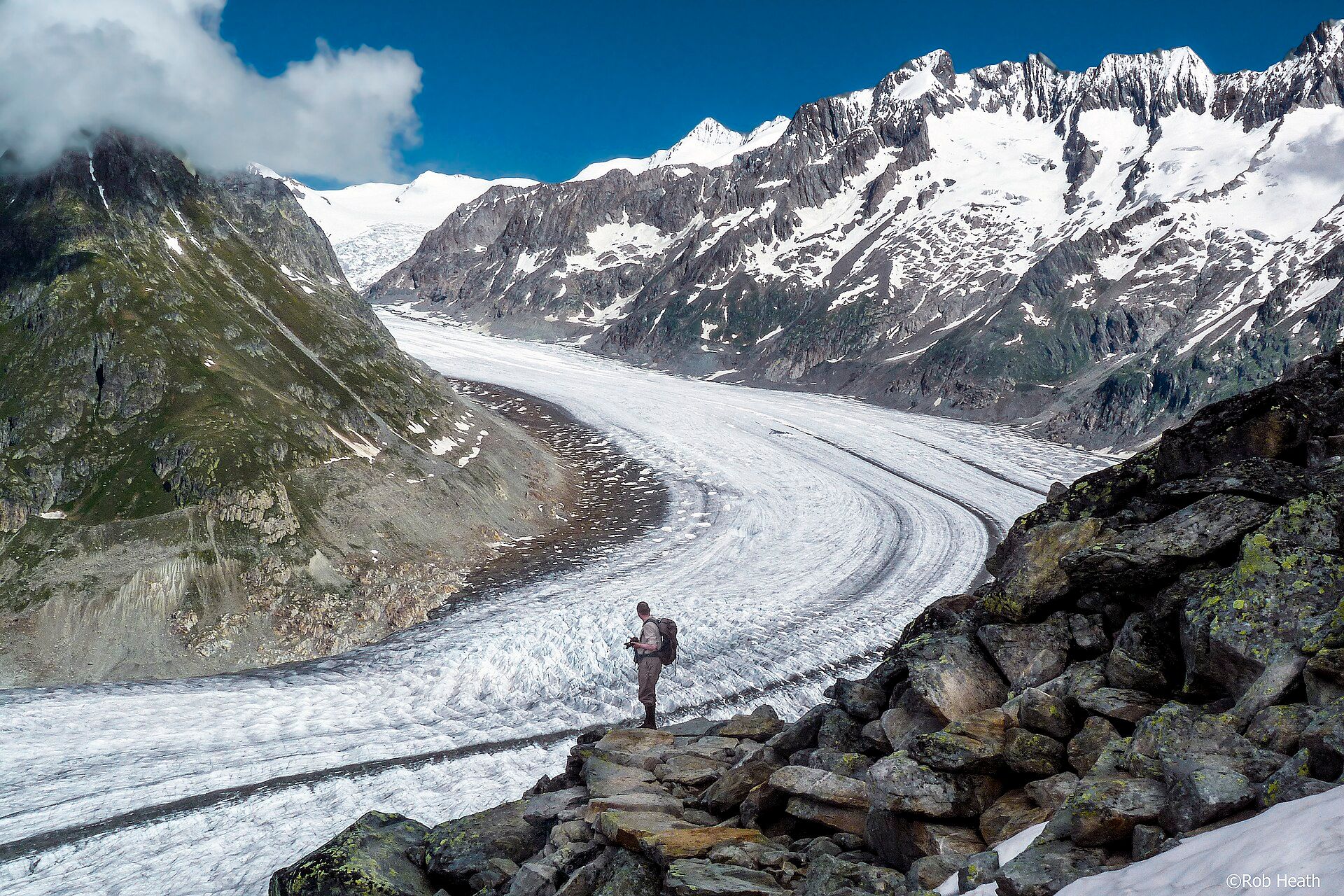
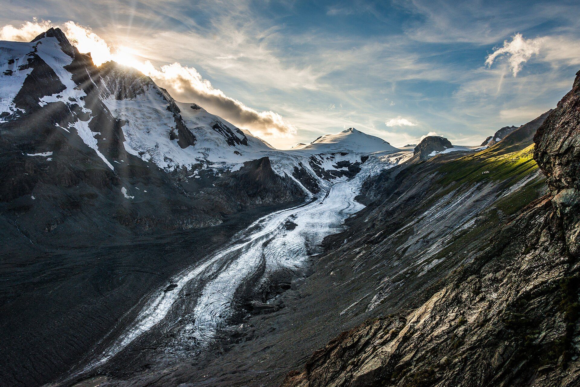
The Pasterze stretches about 8.4 kilometres beneath the Grossglockner, at 3,798 metres Austria's highest mountain, making it the longest glacier in the country and the Eastern Alps. Born of the snows of the Glockner Group in the High Tauern, the ice grinds slowly downhill, its surface streaked with dark medial moraines. It is also one of Europe's most closely studied glaciers: retreating since 1856, it has lost more than half its volume and now pulls back by roughly twenty metres a year, leaving bare rock and a growing meltwater lake where thick ice once lay.
Why visit
The glacier is one of the few great ice streams in the Alps you can reach almost to its edge without mountaineering. The Grossglockner High Alpine Road and the Franz-Josefs-Höhe viewing terrace deliver you to a grandstand above the ice, with the peak beyond, and marked paths and a funicular let you descend toward the glacier itself — where year markers on the rock show, sobering step by step, how far it has withdrawn.
More views of Pasterze Glacier
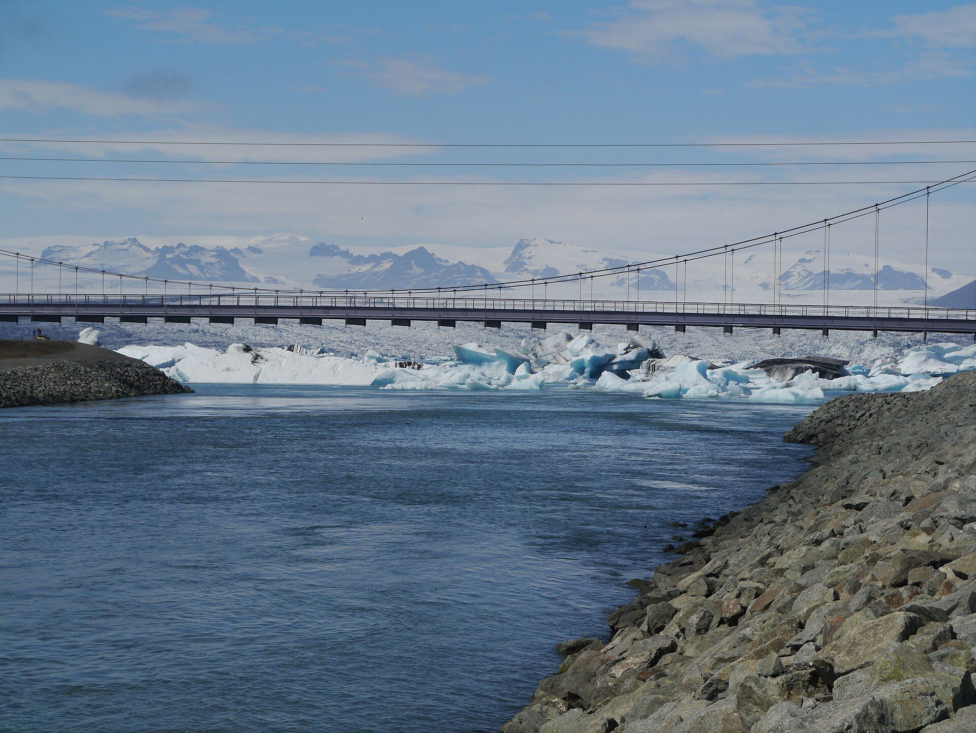
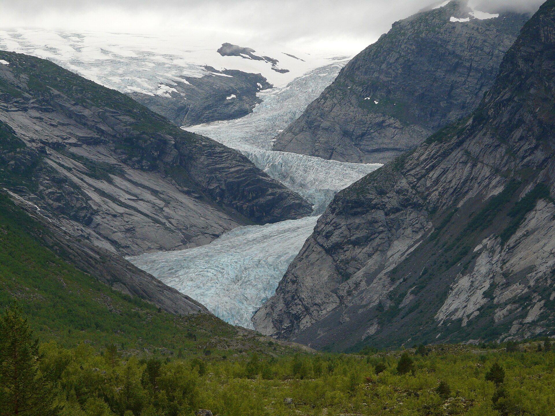
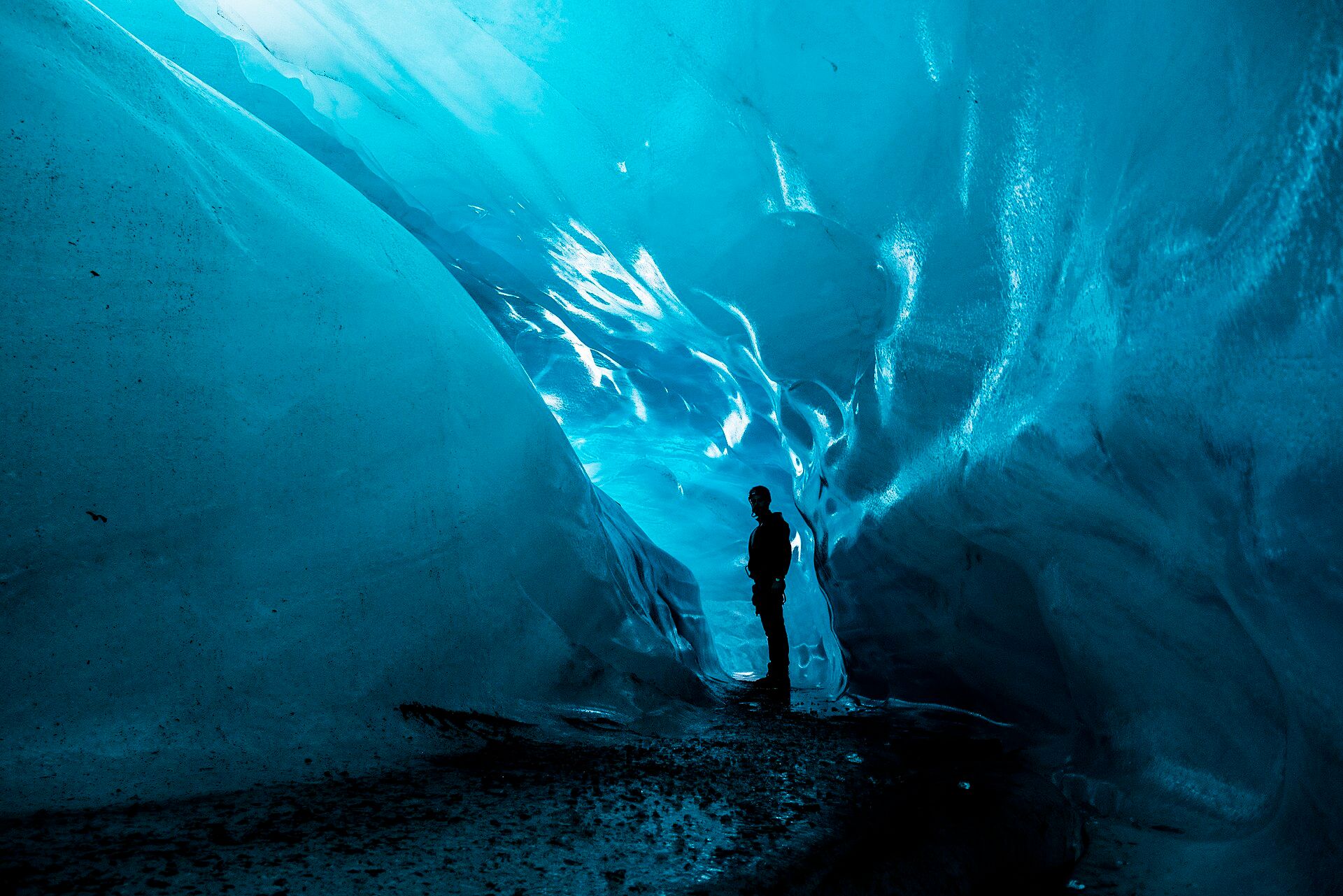
Additional photographs of the actual site — each freely licensed, with its photographer and licence credited.
What to know before you go
🗓️ Best time
The high alpine road and facilities open roughly from May to October; July and August give the most settled weather and the fullest access to paths and the funicular.
🧭 Getting there & access
Reached via the Grossglockner High Alpine Road, a toll mountain road, to the Franz-Josefs-Höhe terminus and viewpoint above the glacier.
Good to know
- The high alpine road is a seasonal toll road that closes in winter and overnight — check hours and weather.
- Weather at altitude turns fast; carry warm, windproof layers even in summer.
- Do not walk out onto the ice without a guide; crevasses and meltwater make it dangerous.
Plan your visit
Moderate🧭 Getting there
From Zell am See or Lienz
- Drive the Grossglockner High Alpine Road to its end at the Franz-Josefs-Höhe
- Take the viewpoint terrace, then the funicular and marked paths down toward the glacier edge
- Total travel
- A full day, given the mountain road and altitude
- Time at site
- Two to four hours at the viewpoint and glacier paths
- Access
- The Grossglockner High Alpine Road is a seasonal toll road, open roughly May–October and closed overnight; the glacier itself should only be entered with a guide.
🎒 What to bring & consider
- Warm, windproof and waterproof layers for altitude
- Sturdy shoes for steep, rocky glacier-approach paths
- Sunglasses and sunscreen for strong high-altitude light
- Cash or card for the road toll and funicular
👁️ What to expect
- Crowds
- The viewpoint is popular in summer; the paths down toward the ice thin out quickly.
- Conditions
- Cold, bright and windy at nearly 2,400 m; steep descents to the retreating glacier.
- Facilities
- Visitor centre, restaurants and parking at the Franz-Josefs-Höhe terminus.
- The view
- The Grossglockner rising above the streaked ice of the Pasterze from the terrace.
Times and requirements are approximate and change with season, weather, and local rules — confirm permits, fares, and schedules with operators before you travel.
Natural riches of the area
- An 8.4-kilometre valley glacier
- The Grossglockner, Austria's highest peak, above it
- Moraines and a growing glacial meltwater lake
- High alpine meadows and marmot country nearby
Local food
- Kärntner Kasnudeln
- Carinthian pasta pockets filled with curd cheese and mint.
- Gailtaler Speck
- Air-dried, lightly smoked bacon from the Carinthian valleys.
- Reindling
- A sweet Carinthian yeast cake swirled with cinnamon and raisins.
The Pasterze is Austria’s longest glacier, a river of ice some 8.4 kilometres long that curls down from the snows of the Glockner Group beneath the Grossglockner, the country’s highest mountain at 3,798 metres. Its surface is streaked with dark bands of moraine, rubble carried down from the peaks, and above it the great pyramid of the Grossglockner dominates the sky. This is the beating heart of the High Tauern, the largest national park in the Alps.
What makes the Pasterze extraordinary is how close you can come to it. The Grossglockner High Alpine Road, one of the finest mountain drives in Europe, climbs in tight hairpins to the Franz-Josefs-Höhe, a viewing terrace poised directly above the ice. From there a funicular and marked paths lead down toward the glacier’s edge, past markers on the bare rock that record where the ice reached in years past.
Those markers tell a sobering story. The Pasterze has been retreating since 1856 and has lost more than half its volume, now shrinking by around twenty metres a year as a meltwater lake spreads across ground it once covered. To stand above it is to witness both one of the great sights of the Alps and, unmistakably, the changing of a climate — a wonder to marvel at and, increasingly, to mourn.
Pasterze Glacier: common questions
How do you get to Pasterze Glacier?
From Zell am See or Lienz: Drive the Grossglockner High Alpine Road to its end at the Franz-Josefs-Höhe; Take the viewpoint terrace, then the funicular and marked paths down toward the glacier edge. Total travel time: A full day, given the mountain road and altitude.
When is the best time to visit Pasterze Glacier?
The high alpine road and facilities open roughly from May to October; July and August give the most settled weather and the fullest access to paths and the funicular.
How long should you spend at Pasterze Glacier?
Two to four hours at the viewpoint and glacier paths. Total travel time: A full day, given the mountain road and altitude.
What should you bring to Pasterze Glacier?
Warm, windproof and waterproof layers for altitude Sturdy shoes for steep, rocky glacier-approach paths Sunglasses and sunscreen for strong high-altitude light Cash or card for the road toll and funicular
Do you need a permit or guide for Pasterze Glacier?
The Grossglockner High Alpine Road is a seasonal toll road, open roughly May–October and closed overnight; the glacier itself should only be entered with a guide.
Is Pasterze Glacier crowded, and what are conditions like?
The viewpoint is popular in summer; the paths down toward the ice thin out quickly. Cold, bright and windy at nearly 2,400 m; steep descents to the retreating glacier. Facilities: Visitor centre, restaurants and parking at the Franz-Josefs-Höhe terminus.
Added
More wonders to explore