Mount Damavand
📍 Alborz range, Mazandaran Province, northern Iran
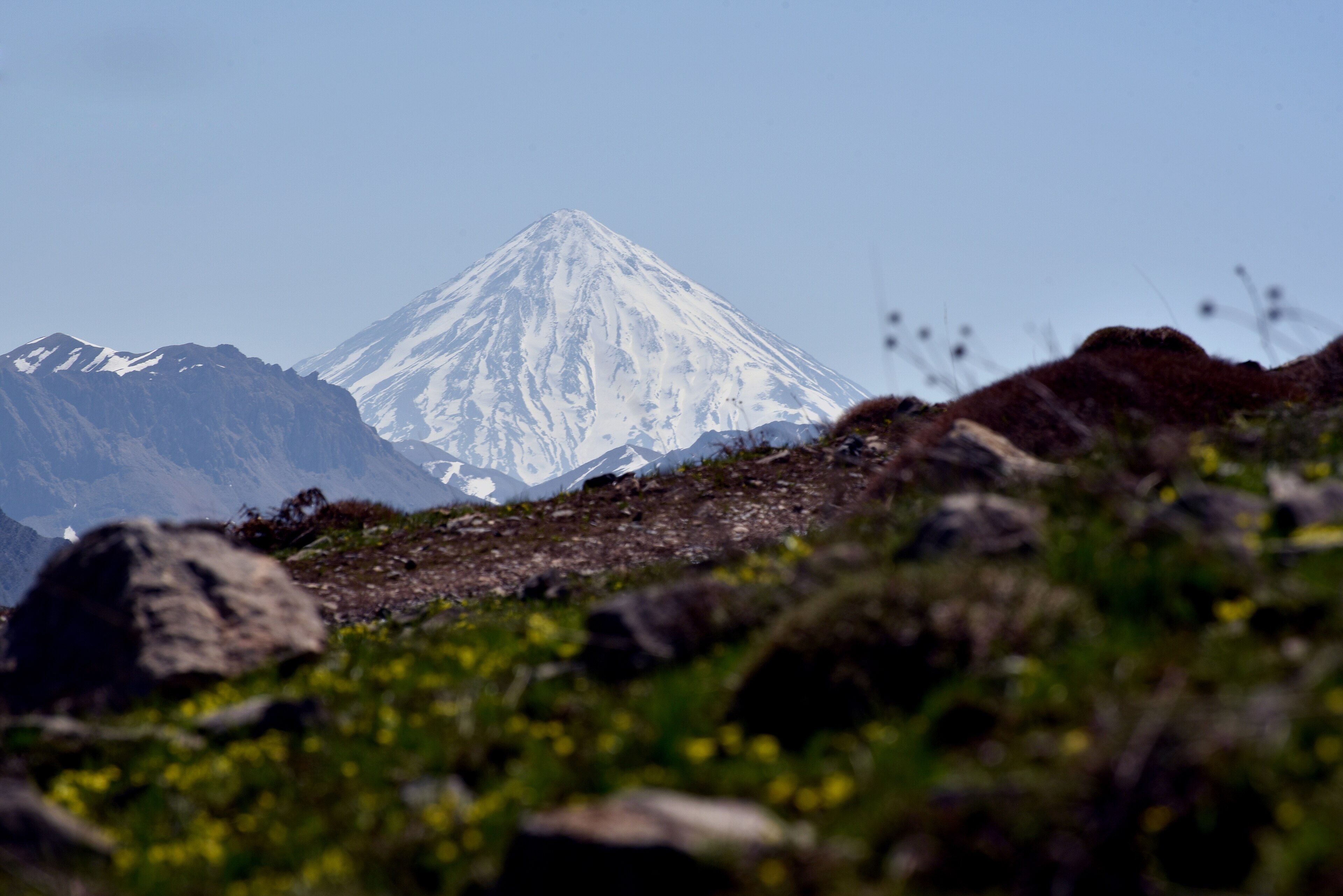
The highest peak in Iran and in the whole Middle East — a near-symmetrical stratovolcano above the Alborz range, with sulphur fumaroles still venting at the summit crater and hot springs on its flanks.
What makes it marvelous
Damavand is a textbook stratovolcano that has kept its shape. It stands somewhere around 5,600 to 5,670 metres depending on which survey you take — the highest point in Iran, the highest peak anywhere in the Middle East, and the highest volcano in Asia west of the Pacific arcs. The cone was built above the southern rim of a nine-kilometre-wide caldera, layer on layer of lava and ash, and because it has not been heavily glaciated or blown apart it retains the clean profile that makes it recognisable from a hundred kilometres away across the Alborz. It is not extinct. There are no eruptions in the historical record, but the summit crater vents sulphurous fumaroles that coat the rim in yellow crusts, and hot springs rise around the mountain's base — a volcano that is quiet rather than finished.
Why visit
It is one of the most accessible high mountains anywhere: a non-technical walk-up in summer that nonetheless takes you above 5,600 metres, with the whole Alborz range and, on clear days, the Caspian lowlands laid out below. The sulphur vents at the top are close enough to smell and to see staining the rock, which makes the volcanic machinery unusually legible for a summit this high.
What to know before you go
🗓️ Best time
Mid-June to early September is the practical climbing window, when the south route is largely free of snow and the shelters are open. Outside it the mountain becomes a serious winter mountaineering objective. Wind and afternoon cloud build quickly even in summer.
🧭 Getting there & access
Reached from Tehran in roughly 2 to 3 hours by road, usually via Polour on the southern side, which is the standard and easiest route. Climbers register at the Polour mountaineering centre; a hut at around 4,200 metres breaks the ascent. A guide is not legally required on the south route but is strongly advised, and foreign visitors should check current entry and travel-advisory conditions for Iran before planning anything.
Good to know
- Take at least one acclimatisation night at the 4,200 m hut — the altitude, not the terrain, is what turns people back.
- The south route is the walk-up; the other faces are technical and should not be attempted casually.
- Start summit day very early; afternoon wind and cloud on the upper cone are routine.
- The summit fumaroles emit sulphurous gas — do not linger directly downwind of a vent.
Plan your visit
Strenuous🧭 Getting there
From Tehran (IKA), Iran
- Fly into Tehran
- Drive 2–3 hours northeast to Polour on the southern side
- Register at the mountaineering centre and transfer to the trailhead
- Ascend via the hut at around 4,200 m, summiting on the following day
- Total travel
- Half a day from Tehran to the trailhead
- Time at site
- 3–4 days including acclimatisation
- Access
- The southern route is a non-technical ascent and does not require a permit as such, but climbers register at the Polour centre and hut space should be arranged ahead in season. A local guide is strongly advised. Independent travel in Iran carries visa and advisory constraints that change — check your government's current guidance and the entry rules before booking.
🎒 What to bring & consider
- Genuine acclimatisation time; above 5,000 m altitude sickness is the main cause of failure here
- Full mountain kit — hard shell, insulation, gloves and eye protection for wind and glare
- Several litres of water a day, since the upper mountain is dry
- Cash in rials, as foreign cards do not function in Iran
- Awareness of the summit gas; sulphur fumes are strongest in still conditions
👁️ What to expect
- Crowds
- Busy with Iranian climbers at summer weekends, particularly at the hut. Quiet midweek.
- Conditions
- Hot and dusty low down, genuinely cold and windy above 4,500 m. Loose scree on the upper cone.
- Facilities
- A staffed hut around 4,200 m with basic food and sleeping space; nothing above it.
- The view
- The symmetrical snow cone from the southern approach in early light, before haze and afternoon cloud build over the Alborz.
Times and requirements are approximate and change with season, weather, and local rules — confirm permits, fares, and schedules with operators before you travel.
Natural riches of the area
- A stratovolcano of roughly 5,600–5,670 m, the highest peak in the Middle East
- A summit crater with active sulphur fumaroles and yellow mineral crusts
- Hot springs around the mountain's base, fed by residual volcanic heat
- A nine-kilometre-wide caldera on whose southern rim the cone was built
- Alborz alpine meadow and steppe on the lower flanks
Local food
- Chelo kabab
- Grilled meat with saffron rice, the standard Iranian plate.
- Ash-e reshteh
- A thick noodle, bean and herb soup eaten across the country in cold weather.
- Mazandaran citrus and rice
- Grown on the Caspian side of the Alborz, immediately north of the mountain.
- Doogh
- A salted yoghurt drink, often carried on the climb.
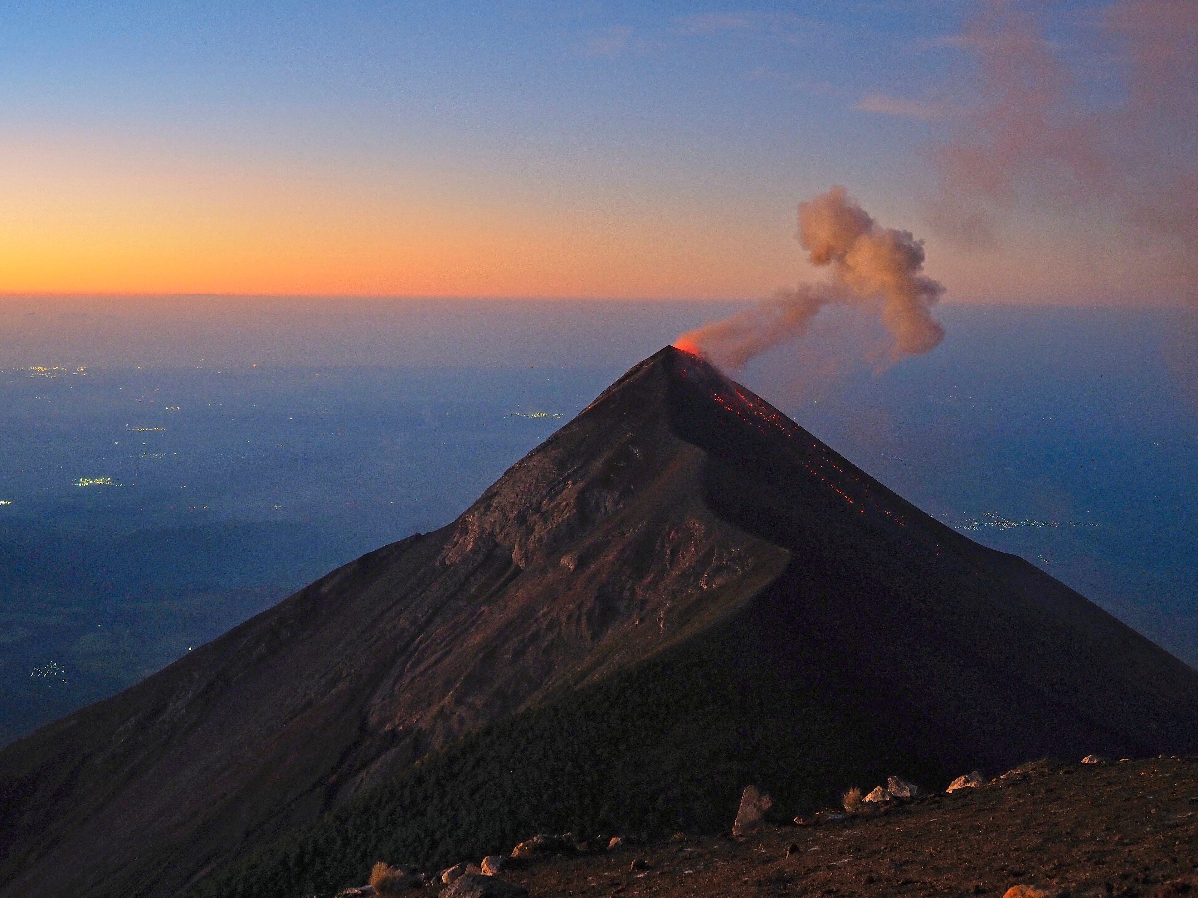
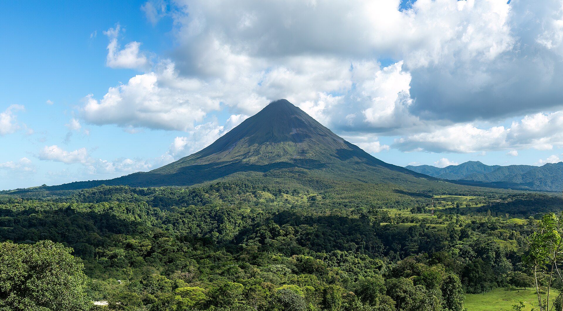
Damavand is the kind of volcano a child would draw: a clean, near-symmetrical cone standing well above everything around it, snow-capped for most of the year, visible from a very long way across the Alborz. It is the highest point in Iran and in the Middle East — somewhere around 5,600 to 5,670 metres, depending on which survey you take — and the highest volcano in Asia outside the Pacific arcs.
The shape is the result of how it was built and what has not happened to it since. Layer upon layer of lava and ash accumulated above the southern rim of a caldera some nine kilometres across, and the cone has never been blown apart in a major collapse or ground down by heavy glaciation, so the profile has survived intact. That is rarer than it sounds; most volcanoes this size are visibly damaged.
It is also not finished. No eruption appears in the historical record, but the summit crater vents sulphurous gas that stains the rim yellow, and hot springs rise around the base where residual heat still reaches groundwater. For climbers the southern route is a walk rather than a climb, which makes Damavand one of the few places you can stand above 5,600 metres without technical skills — provided you give the altitude the days it demands.
Mount Damavand: common questions
How do you get to Mount Damavand?
From Tehran (IKA), Iran: Fly into Tehran; Drive 2–3 hours northeast to Polour on the southern side; Register at the mountaineering centre and transfer to the trailhead; Ascend via the hut at around 4,200 m, summiting on the following day. Total travel time: Half a day from Tehran to the trailhead.
When is the best time to visit Mount Damavand?
Mid-June to early September is the practical climbing window, when the south route is largely free of snow and the shelters are open. Outside it the mountain becomes a serious winter mountaineering objective. Wind and afternoon cloud build quickly even in summer.
How long should you spend at Mount Damavand?
3–4 days including acclimatisation. Total travel time: Half a day from Tehran to the trailhead.
What should you bring to Mount Damavand?
Genuine acclimatisation time; above 5,000 m altitude sickness is the main cause of failure here Full mountain kit — hard shell, insulation, gloves and eye protection for wind and glare Several litres of water a day, since the upper mountain is dry Cash in rials, as foreign cards do not function in Iran Awareness of the summit gas; sulphur fumes are strongest in still conditions
Do you need a permit or guide for Mount Damavand?
The southern route is a non-technical ascent and does not require a permit as such, but climbers register at the Polour centre and hut space should be arranged ahead in season. A local guide is strongly advised. Independent travel in Iran carries visa and advisory constraints that change — check your government's current guidance and the entry rules before booking.
Is Mount Damavand crowded, and what are conditions like?
Busy with Iranian climbers at summer weekends, particularly at the hut. Quiet midweek. Hot and dusty low down, genuinely cold and windy above 4,500 m. Loose scree on the upper cone. Facilities: A staffed hut around 4,200 m with basic food and sleeping space; nothing above it.
Added