Phobjikha Valley
📍 Wangdue Phodrang District, central Bhutan
A broad glacial valley at 3,000 metres holding Bhutan's best-known marshland — where a few hundred black-necked cranes winter each year, and where the country buried its power lines underground rather than risk them flying into the wires.
What makes it marvelous
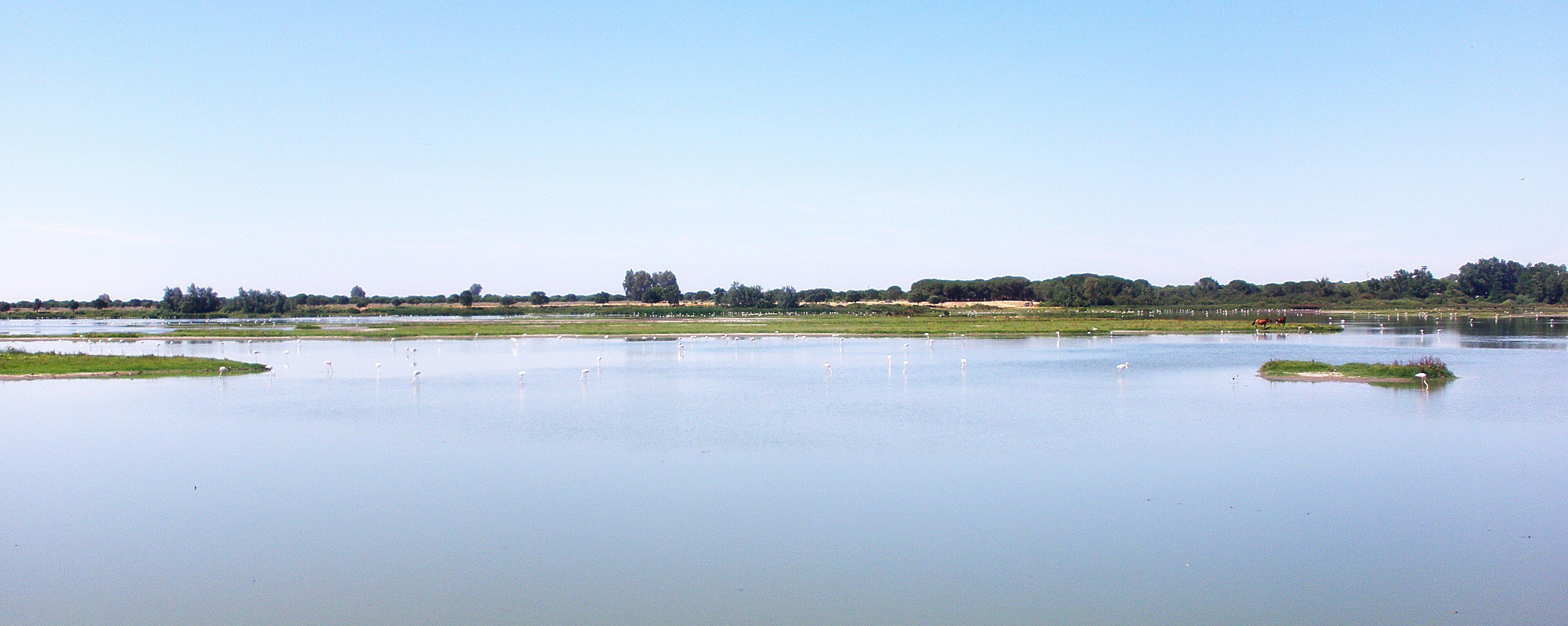
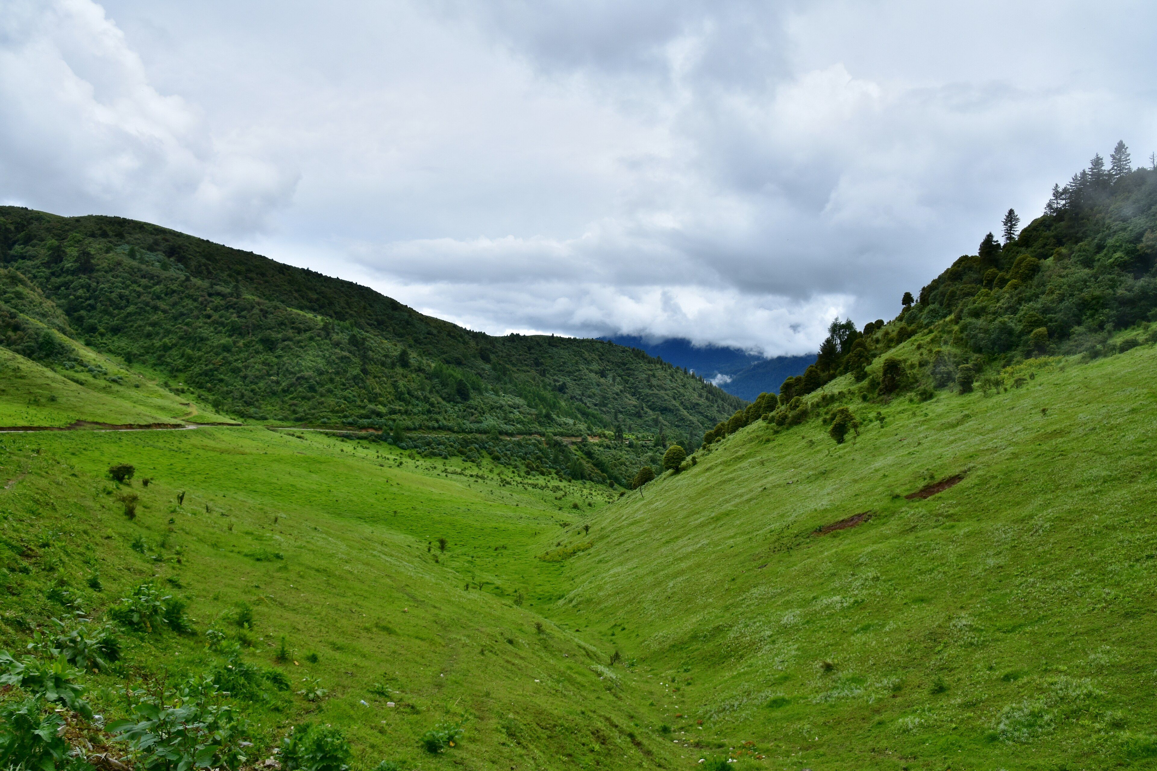
Phobjikha is a U-shaped valley, which is rarer in Bhutan than it sounds: most of the country is steep V-cut river gorge, and a wide flat-floored trough carved by ice is unusual. It sits at about 3,000 metres beneath the Black Mountains, the range above 5,000 metres that divides western from central Bhutan, and its floor is marshland — roughly 970 hectares of it designated a Ramsar wetland of international importance in May 2014 and managed by the Royal Society for the Protection of Nature. Each year from the last week of October, black-necked cranes fly in over the Himalaya from the Tibetan Plateau to winter here, feeding on the tubers of the dwarf bamboo that carpets the marsh. Somewhere between three and five hundred birds use the valley, the largest wintering flock in Bhutan, out of a global population that remains small. Thirteen other globally threatened species share the valley with them. When electricity finally reached Phobjikha in 2010, the lines were laid underground across the valley rather than strung on poles, because overhead cables are one of the things that kills cranes.
Why visit
It is a very different Bhutan from the one on the postcards: open, high, wide and quiet, with a flat marshy floor, dark blue pine on the slopes and almost no development on the valley bottom. From late October to February the cranes are there and audible from a long way off. Outside those months it is simply one of the most peaceful valleys in the country, with an easy day-walk along the valley rim.
What to know before you go
🗓️ Best time
Late October to mid-February for the cranes, with November and December the most reliable. Spring and autumn give clear weather and rhododendron on the slopes. The valley is genuinely cold in winter — December mean minimums are below −4 °C — and many families move to lower ground in January and February.
🧭 Getting there & access
About five to six hours by road from Paro or Thimphu over the Pele La pass, then down into the valley. Every visitor to Bhutan books through a licensed operator and pays the Sustainable Development Fee, so transport and guiding are arranged as part of the trip rather than independently.
Good to know
- Watch the cranes from the marked viewing points; walking out onto the marsh disturbs them and damages the wetland.
- Bring binoculars — the birds feed at distance across open ground.
- Nights are far colder than the rest of Bhutan. Pack for freezing even in a mild month.
- The valley-rim nature trail is easy and gives the best overview of the wetland.
Plan your visit
Easy🧭 Getting there
From Paro (PBH), Bhutan
- Fly into Paro
- Transfer to Thimphu or Punakha
- Drive east over the Pele La pass into Wangdue Phodrang District
- Descend into Phobjikha and base in the valley
- Total travel
- 5–6 hours by road from Paro
- Time at site
- 2 days, or 3 if you want the trek route
- Access
- Independent travel is not permitted; visits are arranged through a licensed Bhutanese operator and carry a per-night Sustainable Development Fee set by the government. Check the current rate when planning, as it has changed more than once. Crane-viewing is from designated points and hides.
🎒 What to bring & consider
- Serious warm layers — this is the coldest place most Bhutan itineraries include
- Binoculars, which make the difference between seeing cranes and seeing dots
- Altitude awareness; the valley floor is already at 3,000 m
- Cash in ngultrum for the villages
- A confirmed operator booking, without which entry is not possible
👁️ What to expect
- Crowds
- Light. The valley is on the standard circuit but numbers into Bhutan are small by design.
- Conditions
- High, open and cold, with hard frost on winter nights. Easy flat walking on the valley floor and rim.
- Facilities
- Lodges and farmhouse stays around the valley, plus a crane information centre with hides and telescopes.
- The view
- Cranes on the marsh in early morning mist with the valley sides rising dark behind them, from the rim trail rather than the floor.
Times and requirements are approximate and change with season, weather, and local rules — confirm permits, fares, and schedules with operators before you travel.
Natural riches of the area
- A broad U-shaped glacial valley at roughly 3,000 m, unusual in Bhutan
- About 970 ha of marshland, a Ramsar site since May 2014
- The largest wintering flock of black-necked cranes in Bhutan
- Dwarf bamboo (Yushania microphylla) marsh, the cranes' winter food
- Blue pine and rhododendron forest on the enclosing slopes below the Black Mountains
Local food
- Ema datshi
- Chillies cooked in soft cheese — the national dish, and hotter than visitors expect.
- Red rice
- Bhutan's short-grain highland rice, nutty and slightly sticky.
- Kewa datshi
- Potato in the same cheese sauce, a gentler version for the uninitiated.
- Suja
- Butter tea, churned with salt — a highland staple against the cold.
Bhutan is mostly V-shaped. The country is young mountains and fast rivers, and the rivers have cut steep-sided gorges through almost all of it. Phobjikha is the exception: a broad, flat-bottomed, U-shaped trough at around 3,000 metres, carved by ice rather than water, sitting beneath the Black Mountains that separate the west of the country from the centre.
Because the floor is flat it holds water, and because it holds water it is marsh — the best-known wetland in Bhutan, with about 970 hectares of it listed as a Ramsar site of international importance in 2014. Across that marsh grows a dwarf bamboo whose tubers happen to be exactly what black-necked cranes eat.
So every year from the last week of October the cranes arrive, flying in from the Tibetan Plateau over the Himalaya to a valley they have presumably been using far longer than anyone has been counting. Somewhere between three and five hundred of them winter here — the largest flock in the country — out of a world population that is still small enough to be counted individually. They stay until February and then go back north.
The detail that says most about the place is the wiring. Electricity did not reach Phobjikha until 2010, and when it did, the decision was made to bury the lines under the valley floor rather than string them across it on poles, because collisions with overhead cables are one of the reliable ways to kill a large flying bird. It is an expensive way to electrify a rural valley. Bhutan did it anyway, and the result is a wetland with a horizon that has nothing across it.
Phobjikha Valley: common questions
How do you get to Phobjikha Valley?
From Paro (PBH), Bhutan: Fly into Paro; Transfer to Thimphu or Punakha; Drive east over the Pele La pass into Wangdue Phodrang District; Descend into Phobjikha and base in the valley. Total travel time: 5–6 hours by road from Paro.
When is the best time to visit Phobjikha Valley?
Late October to mid-February for the cranes, with November and December the most reliable. Spring and autumn give clear weather and rhododendron on the slopes. The valley is genuinely cold in winter — December mean minimums are below −4 °C — and many families move to lower ground in January and February.
How long should you spend at Phobjikha Valley?
2 days, or 3 if you want the trek route. Total travel time: 5–6 hours by road from Paro.
What should you bring to Phobjikha Valley?
Serious warm layers — this is the coldest place most Bhutan itineraries include Binoculars, which make the difference between seeing cranes and seeing dots Altitude awareness; the valley floor is already at 3,000 m Cash in ngultrum for the villages A confirmed operator booking, without which entry is not possible
Do you need a permit or guide for Phobjikha Valley?
Independent travel is not permitted; visits are arranged through a licensed Bhutanese operator and carry a per-night Sustainable Development Fee set by the government. Check the current rate when planning, as it has changed more than once. Crane-viewing is from designated points and hides.
Is Phobjikha Valley crowded, and what are conditions like?
Light. The valley is on the standard circuit but numbers into Bhutan are small by design. High, open and cold, with hard frost on winter nights. Easy flat walking on the valley floor and rim. Facilities: Lodges and farmhouse stays around the valley, plus a crane information centre with hides and telescopes.
Added
More wonders to explore