🇧🇹 Natural wonders of Bhutan
A Himalayan country that runs from subtropical foothills to 7,000-metre peaks in under 200 kilometres, keeps more than seventy per cent of itself under forest by constitutional requirement, and limits visitor numbers by design.
🗓️ Best time for nature: March to May and September to November give the clearest mountain weather and the most comfortable walking. Late October to February is the season for black-necked cranes in the central valleys. The monsoon from June to August brings cloud, rain and leeches on the trails.
The lay of the land
Bhutan compresses an enormous altitudinal range into a very short horizontal distance: from around 100 metres in the subtropical southern foothills to over 7,000 metres on the northern frontier, in under 200 kilometres. The result is almost every Himalayan habitat stacked in sequence — sal forest and grassland at the bottom, then broadleaf and blue pine, then fir and rhododendron, then alpine meadow and permanent snow. Most of the country is steep V-cut river gorge; the broad flat-floored glacial valleys of the centre, such as Phobjikha, are the exception rather than the rule. Bhutan's constitution requires that at least sixty per cent of the country stay under forest cover in perpetuity, and actual cover has run well above seventy per cent, which together with a low population makes it one of the few countries that absorbs more carbon than it emits.
Where to begin
-
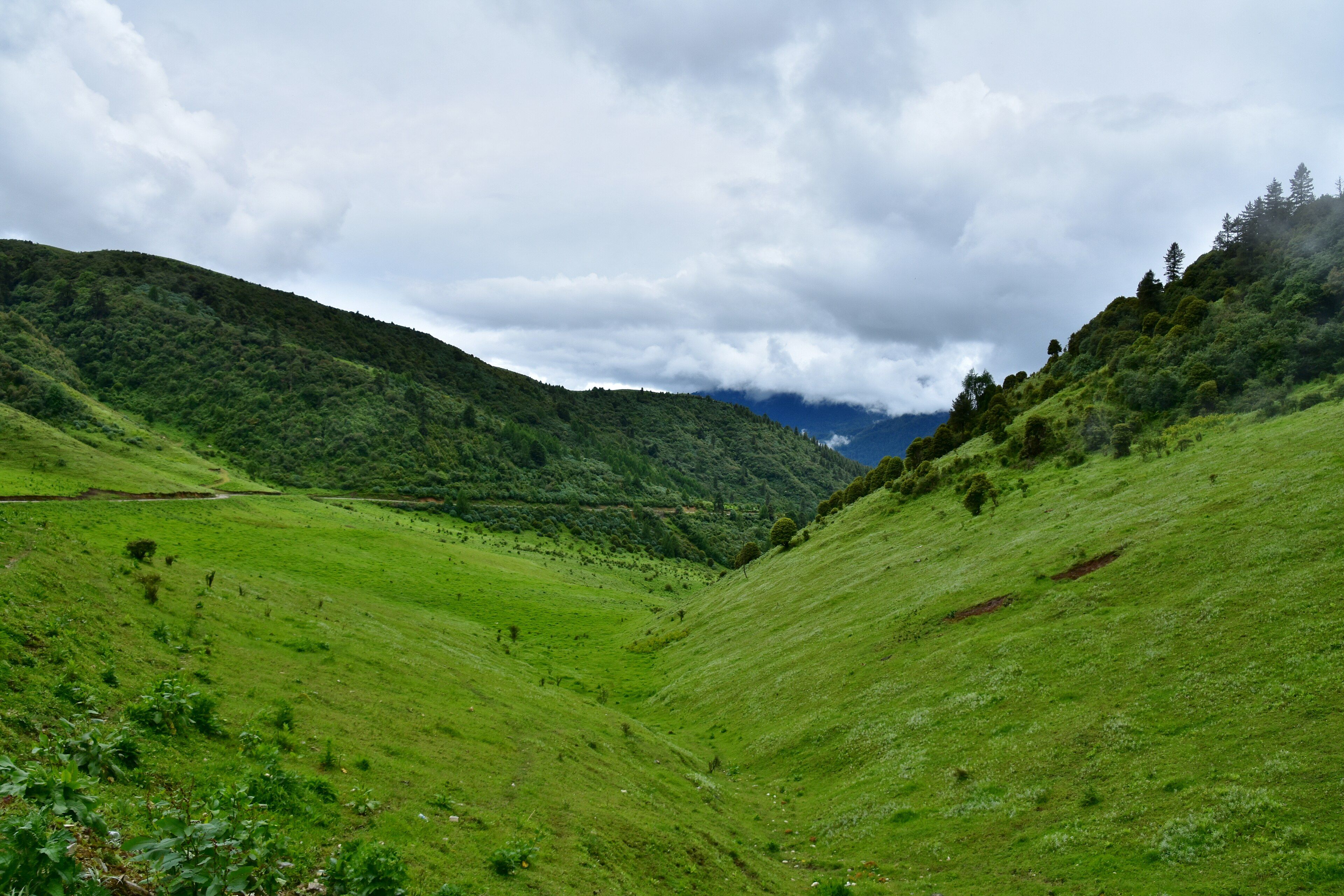
Phobjikha Valley
A glacial valley and Ramsar marshland where hundreds of black-necked cranes winter — and where the power lines were buried to protect them.
A taste of the place
Bhutanese food is built on chillies treated as a vegetable rather than a seasoning, most famously in ema datshi, chillies cooked in soft cheese. Red rice is the staple grain, buckwheat takes over in the high valleys, and butter tea churned with salt is what gets people through the cold.
Traveling responsibly
- Independent travel is not permitted — every visit is arranged through a licensed operator and carries a nightly Sustainable Development Fee.
- Check the current fee rate when planning; it has changed more than once in recent years.
- Road journeys take far longer than the map suggests. Two valleys apart can mean most of a day.
Bhutan’s geography is its defining feature and also its main constraint. The country climbs from around 100 metres in the subtropical southern foothills to over 7,000 on the northern frontier in less than 200 kilometres of horizontal distance, which packs nearly the entire Himalayan sequence of habitats into a very small space — sal forest and grassland at the bottom, broadleaf and blue pine above that, fir and rhododendron above that, and alpine meadow and snow at the top.
That vertical squeeze means almost everything is steep. Bhutan is mostly V-shaped river gorge, and the broad flat-bottomed valleys carved by ice rather than water are the exception. Phobjikha in the centre is the best known of them: a wide U-shaped trough at around 3,000 metres whose flat floor holds marshland, listed as a Ramsar wetland of international importance, and where several hundred black-necked cranes come down from the Tibetan Plateau to winter each year. When electricity reached the valley in 2010, the lines were buried underground rather than strung on poles so the birds would not fly into them.
The forest cover is a legal fact rather than an accident. Bhutan’s constitution requires that at least sixty per cent of the country remain forested in perpetuity, and actual cover has run well above seventy. Combined with a small population and a deliberate policy of limiting visitor numbers through a nightly fee, it makes Bhutan one of a very small number of countries that takes more carbon out of the atmosphere than it puts in.
Added
All wonders in Bhutan
1 places