Făgăraș Mountains & the Transfăgărășan
📍 Southern Carpathians, central Romania
Romania's highest mountains — a wall of glacier-carved peaks and cirque lakes in the Carpathians — crossed by the Transfăgărășan, one of the world's most spectacular alpine roads.
What makes it marvelous
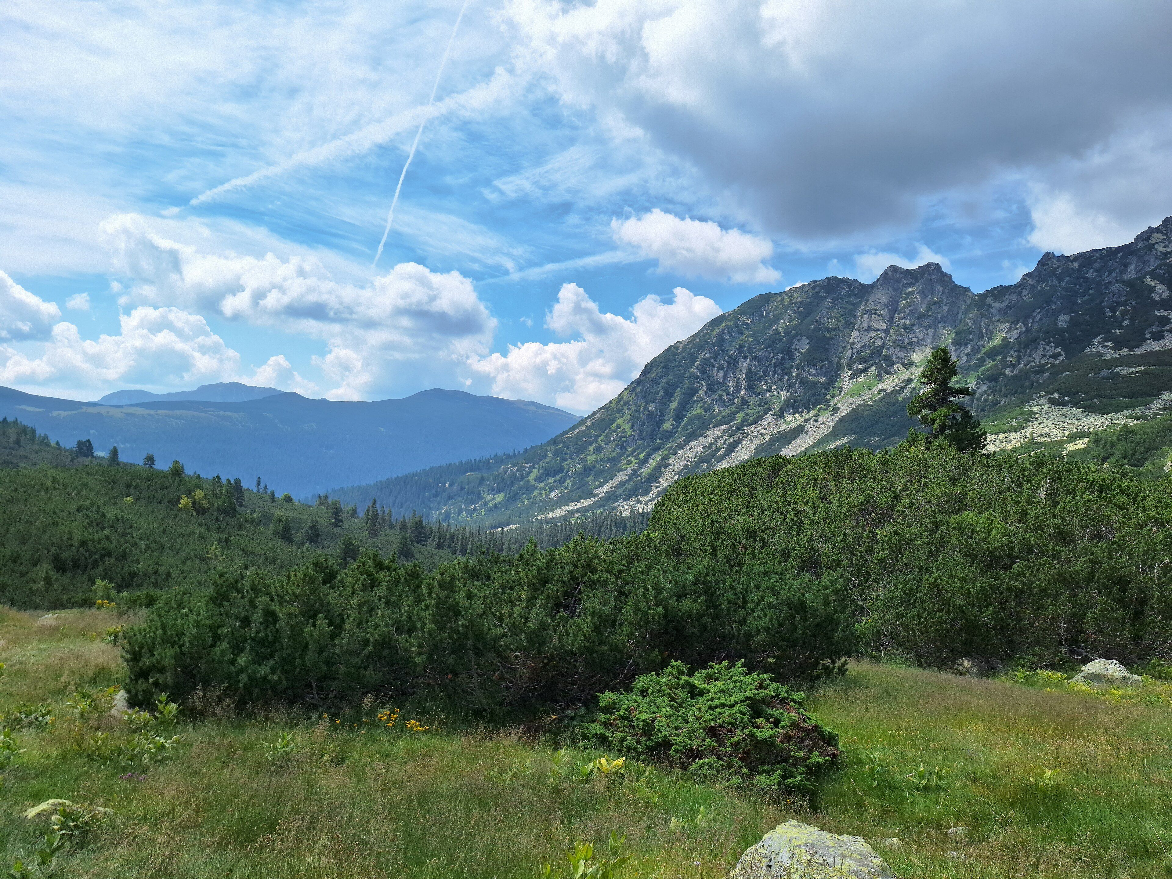
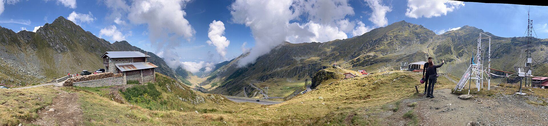
The Făgăraș are the highest range of the Romanian Carpathians, a long, sharp-crested wall rising to Moldoveanu at 2,544 metres, sculpted by Ice Age glaciers into steep ridges, hanging valleys, and blue cirque lakes. Threading over this barrier is the Transfăgărășan, a road built in the 1970s that climbs in a dizzying series of hairpins to around 2,040 metres, past waterfalls and through a tunnel beneath the crest, with the glacial Bâlea Lake cradled near the top. Road and mountains together make one of the great alpine landscapes of Europe.
Why visit
Driving or cycling the Transfăgărășan — switchback after switchback up walls of rock, with waterfalls tumbling alongside and the peaks towering above — is a bucket-list journey, and Bâlea Lake at the summit is stunning whether mirror-still or wrapped in cloud. Beyond the road, trails climb into the high Făgăraș for hikers and to ridgeline huts, through a wilderness that still shelters brown bears, wolves, and chamois in one of Europe's last great mountain fastnesses.
More views of Făgăraș Mountains & the Transfăgărășan
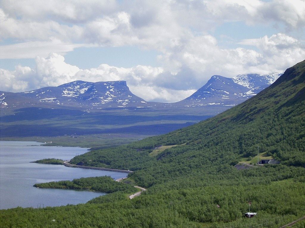
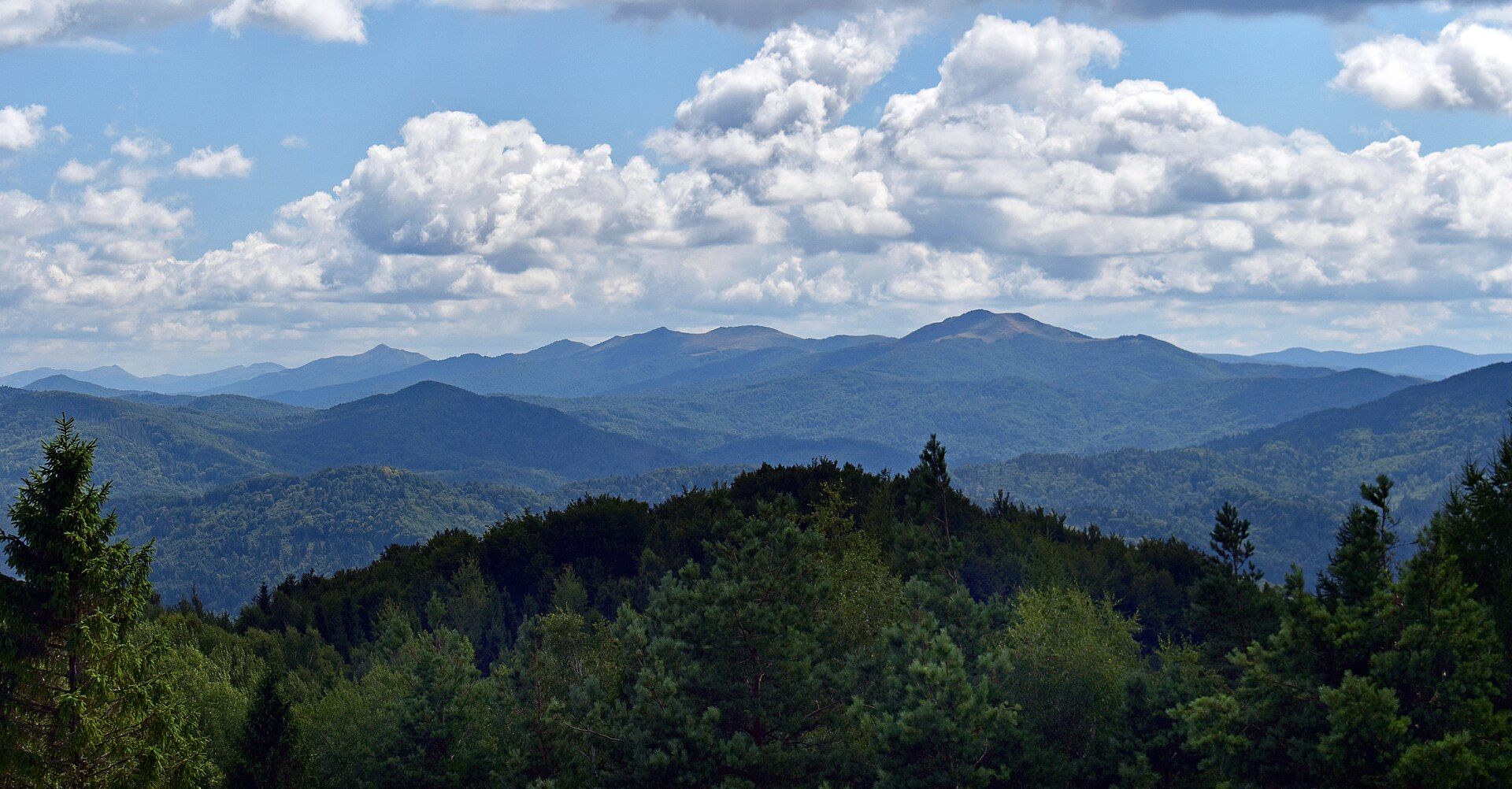
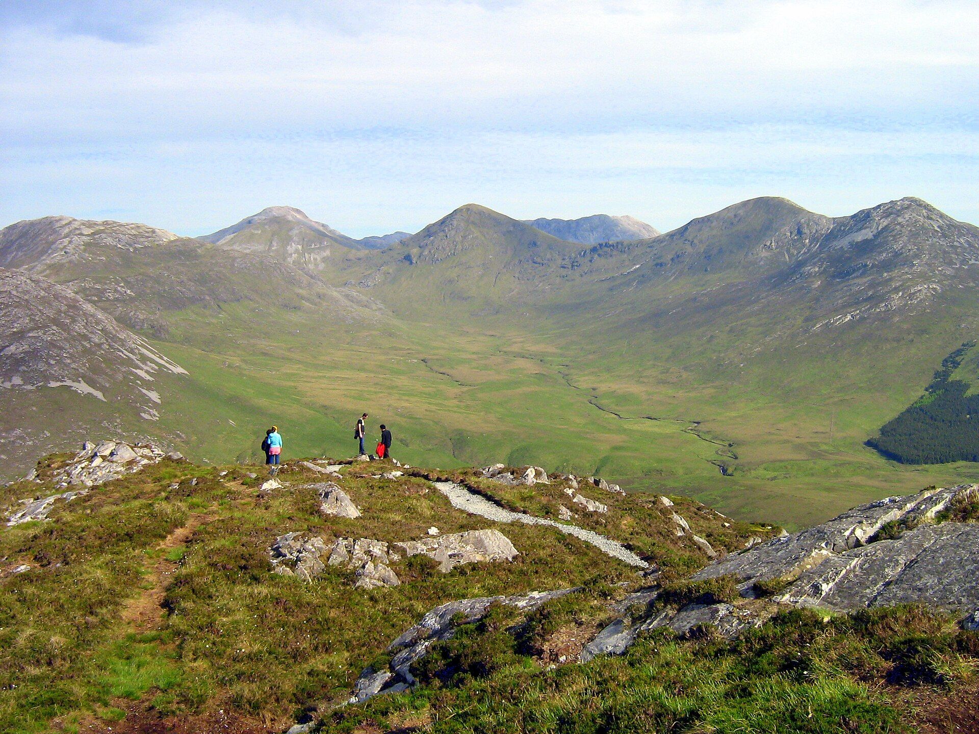
Additional photographs of the actual site — each freely licensed, with its photographer and licence credited.
What to know before you go
🗓️ Best time
The high road is only open in summer, roughly late June or July to October, once the snow clears; the peaks hold snow into early summer and the passes close again with the first heavy falls.
🧭 Getting there & access
In central Romania, the Transfăgărășan (road DN7C) links Curtea de Argeș in the south with the Sibiu area in the north, reached by road from either. A cable car also climbs to Bâlea Lake; hiking trailheads lie along the road and in the valleys.
Good to know
- Check that the high road is open before setting out — it is closed by snow much of the year.
- Start early to drive the hairpins before the midday traffic and cloud build-up.
- In bear country, never leave food in the open or feed the animals by the road.
Plan your visit
Moderate🧭 Getting there
From Sibiu (SBZ), central Romania
- Fly to Sibiu or Bucharest
- Road to the Transfăgărășan (DN7C) from the Sibiu or Curtea de Argeș side
- Drive or cycle over the pass; cable car or trails up to Bâlea Lake and the peaks
- Total travel
- A full day to drive the route and stop; more to hike
- Time at site
- A day for the road and Bâlea Lake; multi-day for high hiking
- Access
- The high section of the road is seasonal, open only once the snow clears (roughly summer to early autumn) and closed otherwise. The road and lake are free; the Bâlea cable car is ticketed. High hiking needs proper preparation.
🎒 What to bring & consider
- Warm and windproof layers — the pass is cold even in summer
- A rain layer for fast-changing mountain weather
- A full tank and careful driving on the hairpins
- Bear-aware habits — no feeding, no food left out
👁️ What to expect
- Crowds
- The road is popular and can be busy on summer weekends; the high trails are far quieter.
- Conditions
- Steep, winding driving to an exposed pass, and serious alpine terrain for hikers; weather turns fast.
- Facilities
- Cafés and stalls at Bâlea Lake and along the road; mountain huts on the high trails.
- The view
- The Transfăgărășan's hairpins stacked up the mountainside, or Bâlea Lake below the peaks. Clear summer mornings before the cloud builds are best.
Times and requirements are approximate and change with season, weather, and local rules — confirm permits, fares, and schedules with operators before you travel.
Natural riches of the area
- Romania's highest glacier-carved peaks and ridges
- Blue glacial cirque lakes, including Bâlea
- Waterfalls and high alpine meadows
- Brown bears, wolves, lynx, and chamois
Local food
- Sarmale
- Cabbage or vine leaves rolled around spiced minced meat and rice.
- Mămăligă
- Cornmeal polenta, often served with cheese, sour cream, or stew.
The Făgăraș Mountains are the roof of Romania — the highest range of the Carpathians, a long, serrated wall rising to Moldoveanu at 2,544 metres, carved by Ice Age glaciers into knife-edge ridges, hanging valleys, and lakes of deep blue meltwater. Crossing this barrier is one of the world’s most spectacular roads, the Transfăgărășan, built in the 1970s to climb the range in a breathtaking succession of hairpin bends up to around 2,040 metres, past waterfalls and through a tunnel beneath the crest, with the glacial Bâlea Lake set near the summit.
Driving or cycling the road is a journey people travel across Europe to make, each switchback opening a wider view of rock and sky, with Bâlea Lake — mirror-calm or lost in cloud — waiting at the top. But the mountains reward those who leave the tarmac too: trails climb into a high wilderness of ridges, cirques, and meadows that still shelters brown bears, wolves, and chamois, one of the last great mountain fastnesses in Europe. Road and range together make an unforgettable alpine landscape.
Făgăraș Mountains & the Transfăgărășan: common questions
How do you get to Făgăraș Mountains & the Transfăgărășan?
From Sibiu (SBZ), central Romania: Fly to Sibiu or Bucharest; Road to the Transfăgărășan (DN7C) from the Sibiu or Curtea de Argeș side; Drive or cycle over the pass; cable car or trails up to Bâlea Lake and the peaks. Total travel time: A full day to drive the route and stop; more to hike.
When is the best time to visit Făgăraș Mountains & the Transfăgărășan?
The high road is only open in summer, roughly late June or July to October, once the snow clears; the peaks hold snow into early summer and the passes close again with the first heavy falls.
How long should you spend at Făgăraș Mountains & the Transfăgărășan?
A day for the road and Bâlea Lake; multi-day for high hiking. Total travel time: A full day to drive the route and stop; more to hike.
What should you bring to Făgăraș Mountains & the Transfăgărășan?
Warm and windproof layers — the pass is cold even in summer A rain layer for fast-changing mountain weather A full tank and careful driving on the hairpins Bear-aware habits — no feeding, no food left out
Do you need a permit or guide for Făgăraș Mountains & the Transfăgărășan?
The high section of the road is seasonal, open only once the snow clears (roughly summer to early autumn) and closed otherwise. The road and lake are free; the Bâlea cable car is ticketed. High hiking needs proper preparation.
Is Făgăraș Mountains & the Transfăgărășan crowded, and what are conditions like?
The road is popular and can be busy on summer weekends; the high trails are far quieter. Steep, winding driving to an exposed pass, and serious alpine terrain for hikers; weather turns fast. Facilities: Cafés and stalls at Bâlea Lake and along the road; mountain huts on the high trails.
Added