The Atacama Desert
📍 Northern Chile
The driest nonpolar desert on Earth — a surreal high-altitude landscape of salt flats, sculpted dunes, geyser fields, and flamingo-dotted lagoons, under some of the clearest night skies anywhere.

What makes it marvelous
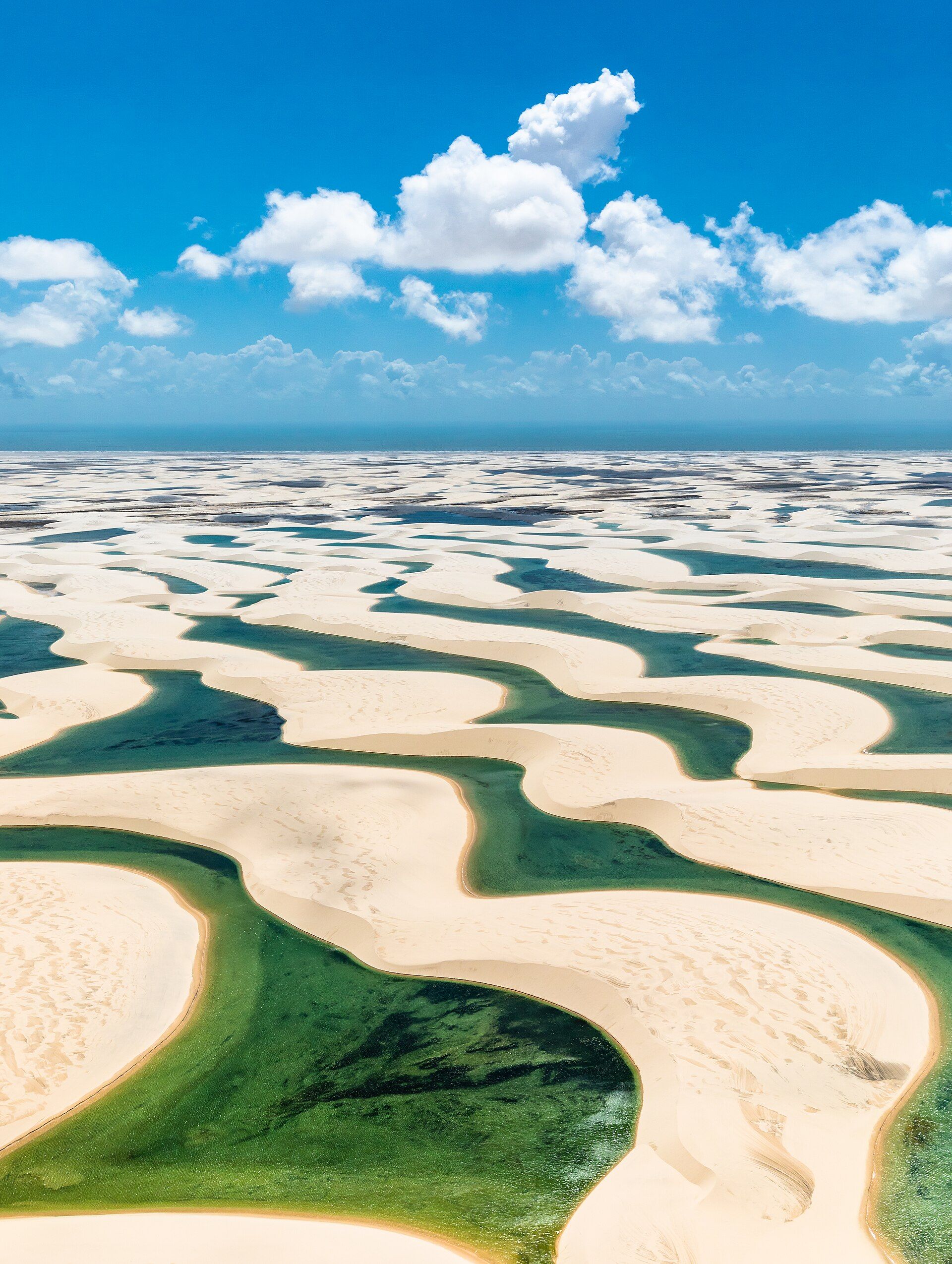
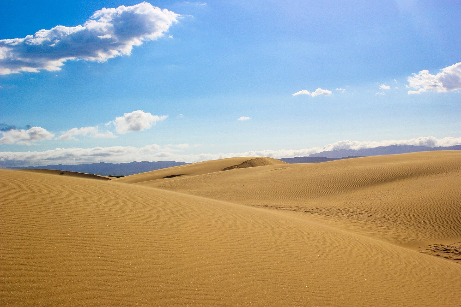
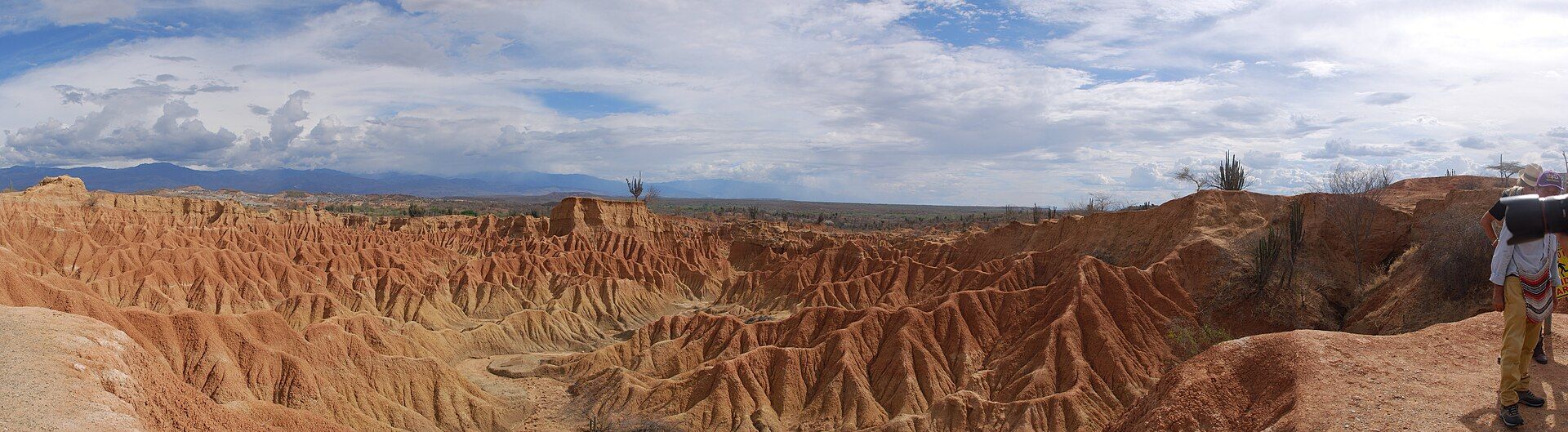
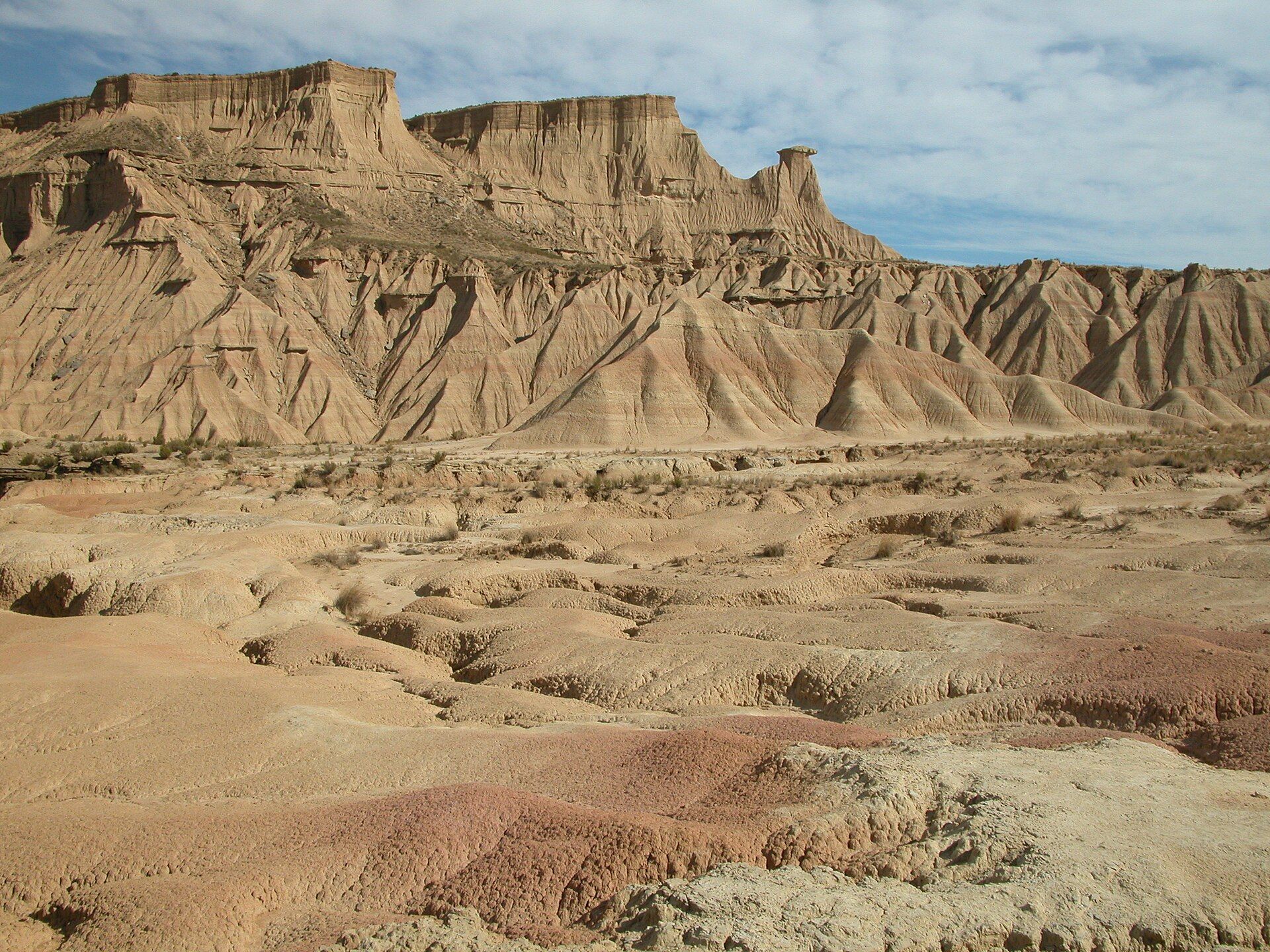
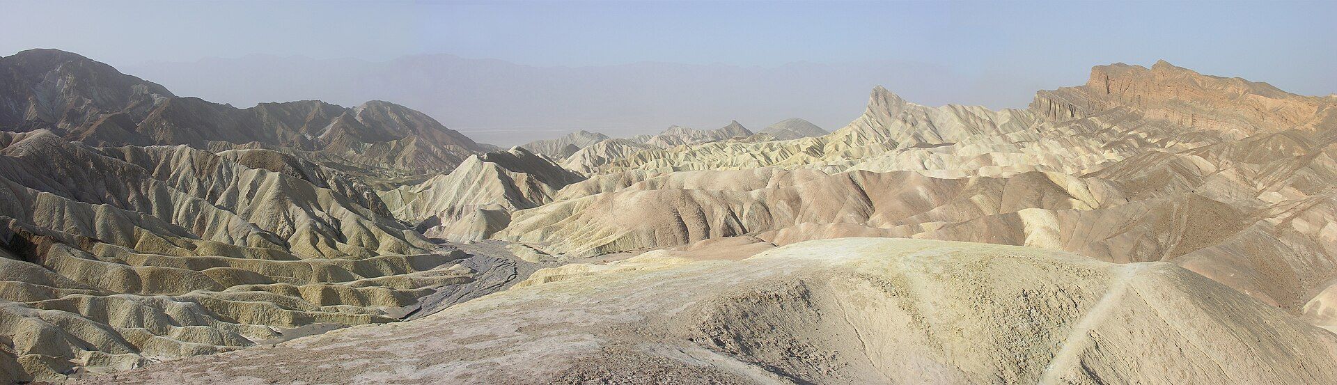
Hemmed between the Andes and a coastal range that block moisture, parts of the Atacama receive almost no rain for years at a time; some weather stations have never recorded a drop. That extreme aridity, thin air, and lack of light pollution make its skies among the best on the planet for astronomy — home to great observatories. The desert holds the vast Salar de Atacama salt flat with its flamingos, the geyser field of El Tatio, and the wind-carved 'Valley of the Moon', so Mars-like that it's used to test planetary rovers.
Why visit
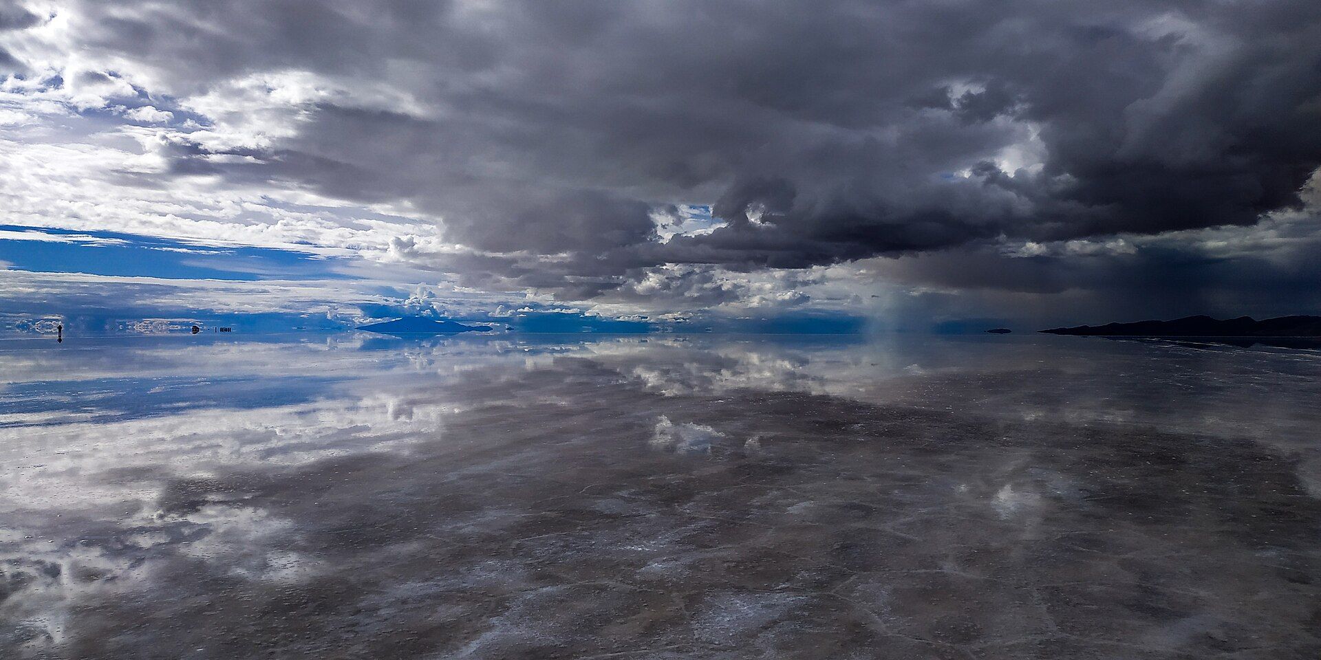
It's a landscape of otherworldly contrasts: salt lakes mirroring volcanoes, sunrise steam at high-altitude geysers, dunes glowing at dusk, and a night sky so dense with stars it feels close enough to touch. Few places make you feel more like you've left the ordinary Earth behind.
Still deciding?
The Atacama Desert comes up most often against these — each one weighs cost, effort, season and crowds side by side.
What to know before you go
🗓️ Best time
Year-round, thanks to the dry climate; nights are cold at altitude. Clear skies are the norm, ideal for stargazing; the rare 'desierto florido' bloom can follow unusual rains further south.
🧭 Getting there & access
Based in San Pedro de Atacama (via Calama airport) in northern Chile. Tours run to the salt flats, El Tatio geysers, lagoons, and Valle de la Luna; altitude acclimatisation matters.
Good to know
- Acclimatise to the altitude before high trips like El Tatio (over 4,000 m).
- Take a stargazing tour — the skies here are world-class.
- Bring sun protection by day and warm layers for cold desert nights.
Plan your visit
Moderate🧭 Getting there
From San Pedro de Atacama, Chile
- Fly Santiago → Calama (CJC) — roughly 2h
- Transfer Calama → San Pedro de Atacama — about 1h–1h30
- Run day tours out to the geysers, lagoons and salt flats from San Pedro
- Total travel
- A half-day of flying and driving from Santiago
- Time at site
- Three or four days to see the range of it and acclimatise
- Access
- San Pedro is the base and the tours run from there, but the altitude is the thing to plan around: the town sits at roughly 2,400m and the highlights climb far higher — the El Tatio geysers and the Altiplanic lagoons are around 4,300m, high enough to make you ill if you arrive and rush straight up. Give yourself a day or two low before the high tours. The geysers are visited at dawn, when it is well below freezing, and the desert sun and UV at this altitude are ferocious the moment it rises.
🎒 What to bring & consider
- A couple of days acclimatising in San Pedro before the 4,000m-plus tours, because the geysers and high lagoons are where altitude sickness catches people out
- Layers for a genuine daily swing from below freezing at the dawn geysers to hot desert sun by mid-morning
- The strongest sun protection you have — the combination of altitude, thin air and reflective salt makes the UV here extreme
- Far more water than in an ordinary desert, since the dry air and altitude dehydrate you fast
- A head-torch for the pre-dawn geyser starts and a warm hat for the cold, clear nights that make this some of the best stargazing on Earth
👁️ What to expect
- Crowds
- Tour vehicles converge at the geysers at dawn and the famous sunset viewpoints. Midday is quieter.
- Conditions
- High, dry and bright, with hard temperature swings. Easy underfoot but hard on the unacclimatised.
- Facilities
- Good in San Pedro — hostels, restaurants, tour agencies. Nothing at the remote sites themselves.
- The view
- Steam columns catching the first light at El Tatio, or the flamingos on a mirror-flat Altiplanic lagoon with volcanoes behind. Both are dawn shots at altitude, which is why the acclimatisation and the cold gear come first.
Times and requirements are approximate and change with season, weather, and local rules — confirm permits, fares, and schedules with operators before you travel.
Natural riches of the area
- Hyper-arid climate and world-class clear skies (astronomy)
- Salt flats (Salar de Atacama) and mineral/lithium-rich brines
- Geothermal geyser fields and high-altitude lagoons
- Andean flamingos, vicuñas, and hardy desert life
Local food
- Quinoa & Andean grains
- Staple highland crops long grown by the region's Indigenous peoples.
- Llama meat
- A traditional Andean protein, served in stews and grills.
- Rica-rica & chañar
- Native desert herbs and the sweet chañar fruit used in local drinks and sweets.
The Atacama is a lesson in extremes. Trapped between the Andes and a coastal range that wring the moisture from the air, it is the driest nonpolar desert on Earth — some spots have gone years without measurable rain, and a few have arguably never recorded any. That same dryness, altitude, and darkness give it skies so clear that the world’s great observatories cluster here, peering into the universe from the high desert floor.
For all its barrenness, the Atacama is astonishingly varied: the huge Salar de Atacama salt flat with its wading flamingos, the dawn steam of the El Tatio geysers over 4,000 metres up, and the wind-sculpted Valley of the Moon, so like Mars that engineers test rovers on it. By day the light is harsh and enormous; by night the sky fills so thickly with stars it can steal your breath. It’s one of the places on Earth that most feels like somewhere else entirely.
The Atacama Desert: common questions
How do you get to The Atacama Desert?
From San Pedro de Atacama, Chile: Fly Santiago → Calama (CJC) — roughly 2h; Transfer Calama → San Pedro de Atacama — about 1h–1h30; Run day tours out to the geysers, lagoons and salt flats from San Pedro. Total travel time: A half-day of flying and driving from Santiago.
When is the best time to visit The Atacama Desert?
Year-round, thanks to the dry climate; nights are cold at altitude. Clear skies are the norm, ideal for stargazing; the rare 'desierto florido' bloom can follow unusual rains further south.
How long should you spend at The Atacama Desert?
Three or four days to see the range of it and acclimatise. Total travel time: A half-day of flying and driving from Santiago.
What should you bring to The Atacama Desert?
A couple of days acclimatising in San Pedro before the 4,000m-plus tours, because the geysers and high lagoons are where altitude sickness catches people out Layers for a genuine daily swing from below freezing at the dawn geysers to hot desert sun by mid-morning The strongest sun protection you have — the combination of altitude, thin air and reflective salt makes the UV here extreme Far more water than in an ordinary desert, since the dry air and altitude dehydrate you fast A head-torch for the pre-dawn geyser starts and a warm hat for the cold, clear nights that make this some of the best stargazing on Earth
Do you need a permit or guide for The Atacama Desert?
San Pedro is the base and the tours run from there, but the altitude is the thing to plan around: the town sits at roughly 2,400m and the highlights climb far higher — the El Tatio geysers and the Altiplanic lagoons are around 4,300m, high enough to make you ill if you arrive and rush straight up. Give yourself a day or two low before the high tours. The geysers are visited at dawn, when it is well below freezing, and the desert sun and UV at this altitude are ferocious the moment it rises.
Is The Atacama Desert crowded, and what are conditions like?
Tour vehicles converge at the geysers at dawn and the famous sunset viewpoints. Midday is quieter. High, dry and bright, with hard temperature swings. Easy underfoot but hard on the unacclimatised. Facilities: Good in San Pedro — hostels, restaurants, tour agencies. Nothing at the remote sites themselves.
Added Updated