Tatacoa Desert
📍 Huila, Colombia
A labyrinth of eroded red and grey badlands in Colombia's Huila department — not a true desert but a dry tropical forest sculpted into ochre canyons and ashen gullies, and one of the country's finest places to watch the stars.
What makes it marvelous
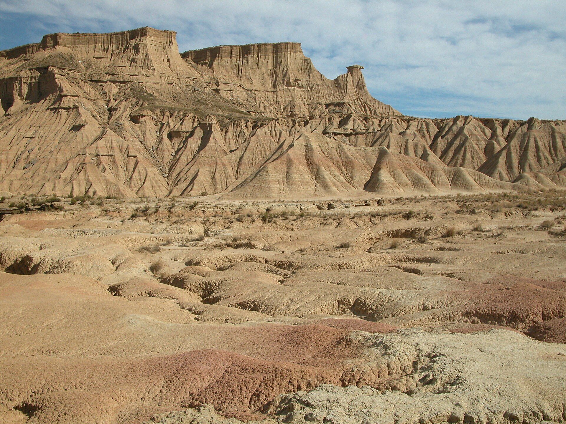
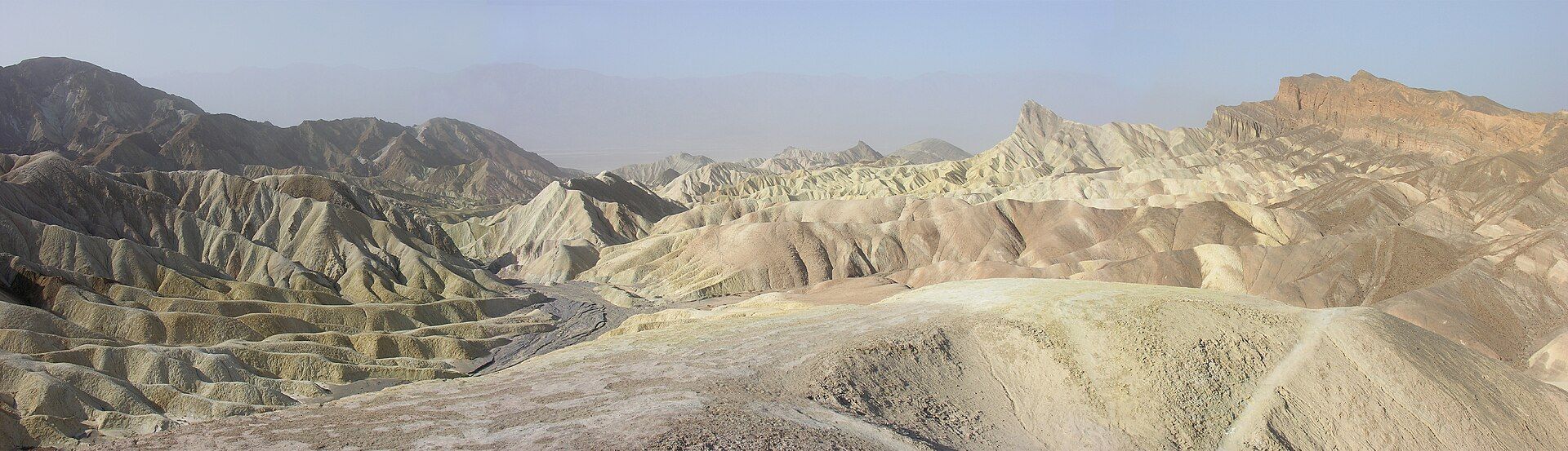
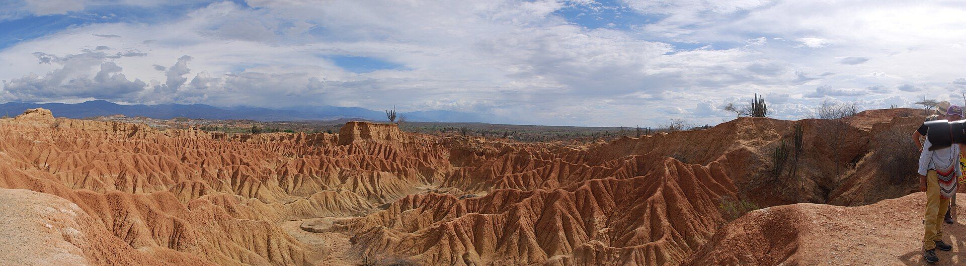
The Tatacoa is Colombia's second-largest arid zone, some 330 square kilometres of eroded badlands in the valley of the Magdalena River. Wind and rare, violent rains have carved the soft sediments into a maze of gullies, spires and miniature canyons. It divides into two dramatic faces: the Cuzco sector, rust-red and copper with iron-rich clay, and the Los Hoyos sector, ashen grey from phosphate and sulphur. Once a humid forest, it holds a rich fossil record, and its clear, dark skies make it a celebrated astronomical site.
Why visit
Walking the red gullies of El Cuzco at sunrise or the grey channels of Los Hoyos feels like crossing another planet, and the labyrinth is small enough to explore on foot. After dark, far from city lights, the Tatacoa becomes one of the best stargazing spots in Colombia, with an observatory on site and the Milky Way blazing overhead.
More views of Tatacoa Desert
Additional photographs of the actual site — each freely licensed, with its photographer and licence credited.
What to know before you go
🗓️ Best time
The driest, clearest skies come from June to September and again around December to February; nights are cooler and better for stargazing then.
🧭 Getting there & access
Reached from the town of Villavieja, itself a drive from Neiva, the Huila capital; local guides and mototaxis run out to the Cuzco and Los Hoyos sectors.
Good to know
- Daytime heat is intense — walk the labyrinths early or late and carry ample water.
- Nights are ideal for stargazing; bring a red torch and check the moon phase for the darkest skies.
- There are natural and built pools to cool off; bring a swimsuit and cash for the village.
Plan your visit
Easy🧭 Getting there
From Neiva (airport NVA)
- From Neiva drive north to Villavieja, roughly 45min–1h, then cross the river to the desert
- Explore the red El Cuzco and grey Los Hoyos sectors by foot or local mototaxi
- Total travel
- An overnight from Neiva is best; a long day trip is possible
- Time at site
- A full day and a night for the labyrinths and stargazing
- Access
- Open access with local guides and small fees at the two main sectors; no hard permit.
🎒 What to bring & consider
- Two or more litres of water per person for the heat
- Sun hat, sunscreen and light, covering clothing
- A red torch and warm layer for night-time stargazing
- Cash, as card facilities are limited in Villavieja
👁️ What to expect
- Crowds
- Quiet midweek; busier on weekends and around new-moon stargazing nights.
- Conditions
- Fierce dry heat by day, surprisingly cool and dark at night; easy walking on soft ground.
- Facilities
- Simple lodgings, an observatory and pools near Villavieja; little inside the labyrinths.
- The view
- The red spires of El Cuzco at golden hour, or the Milky Way over the grey Los Hoyos.
Times and requirements are approximate and change with season, weather, and local rules — confirm permits, fares, and schedules with operators before you travel.
Natural riches of the area
- Red and grey eroded clay badlands
- Labyrinths of gullies, spires and small canyons
- A rich vertebrate fossil record
- Exceptionally dark skies for astronomy
Local food
- Asado huilense
- Slow-roasted marinated pork, the signature dish of Huila.
- Cabrito
- Roast young goat, well suited to the arid country around the desert.
- Achiras
- Crisp cheese-and-cassava-starch biscuits typical of the Huila region.
The Tatacoa Desert is one of Colombia’s strangest and most beautiful landscapes — and, despite the name, not really a desert at all. It is a dry tropical forest that erosion has stripped and sculpted into 330 square kilometres of badlands in the valley of the Magdalena River. Wind and infrequent, torrential rains have cut the soft sediments into a labyrinth of gullies, spires and miniature canyons that visitors can wander on foot.
The Tatacoa wears two faces. The Cuzco sector burns rust-red and copper, its colours drawn from iron in the clay, its gullies like a shrunken Grand Canyon. A short way off, the Los Hoyos sector turns ashen grey, coloured by phosphate and sulphur, with pale channels and pools hidden among the folds. Beneath both lies a rich fossil record from the time when this arid maze was a green and humid forest, some of it on display in the little museum at Villavieja.
By night the Tatacoa transforms again. Set far from any city and favoured with dry, clear air, it is one of the finest places to see the stars in Colombia, with an observatory on site and the Milky Way arcing brilliantly overhead. To spend a hot day in the red and grey labyrinths and then watch the desert sky fill with stars is to experience two wonders in one — a landscape that feels equal parts Earth and elsewhere.
Tatacoa Desert: common questions
How do you get to Tatacoa Desert?
From Neiva (airport NVA): From Neiva drive north to Villavieja, roughly 45min–1h, then cross the river to the desert; Explore the red El Cuzco and grey Los Hoyos sectors by foot or local mototaxi. Total travel time: An overnight from Neiva is best; a long day trip is possible.
When is the best time to visit Tatacoa Desert?
The driest, clearest skies come from June to September and again around December to February; nights are cooler and better for stargazing then.
How long should you spend at Tatacoa Desert?
A full day and a night for the labyrinths and stargazing. Total travel time: An overnight from Neiva is best; a long day trip is possible.
What should you bring to Tatacoa Desert?
Two or more litres of water per person for the heat Sun hat, sunscreen and light, covering clothing A red torch and warm layer for night-time stargazing Cash, as card facilities are limited in Villavieja
Do you need a permit or guide for Tatacoa Desert?
Open access with local guides and small fees at the two main sectors; no hard permit.
Is Tatacoa Desert crowded, and what are conditions like?
Quiet midweek; busier on weekends and around new-moon stargazing nights. Fierce dry heat by day, surprisingly cool and dark at night; easy walking on soft ground. Facilities: Simple lodgings, an observatory and pools near Villavieja; little inside the labyrinths.
Added Updated
More wonders to explore