Uluru
📍 Uluru-Kata Tjuta National Park, Northern Territory, Australia
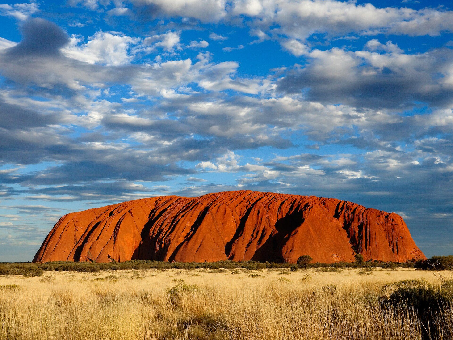
A colossal sandstone monolith rising abruptly from the flat red heart of Australia — glowing through fiery reds and oranges at sunrise and sunset, and a place of the deepest cultural significance to its Aboriginal custodians.
What makes it marvelous
Uluru stands about 348 metres above the surrounding plain and extends far deeper underground — a single vast slab of coarse sandstone (arkose) laid down over 500 million years ago, then tilted almost vertical and eroded so that what we see is the exposed edge of a much larger rock formation. Iron minerals in the sandstone rust at the surface, which is why it flares through vivid reds and oranges as the sun's angle changes. For the Aṉangu, the Aboriginal traditional owners, Uluru is a living cultural landscape central to their law and identity.
Why visit
Watching Uluru shift colour at dawn or dusk against the desert is genuinely moving, and walking the base trail reveals waterholes, caves, and rock art up close. Learning the landscape through Aṉangu-guided experiences turns a striking rock into a place with profound meaning.
Still deciding?
Uluru comes up most often against one other place — each one weighs cost, effort, season and crowds side by side.
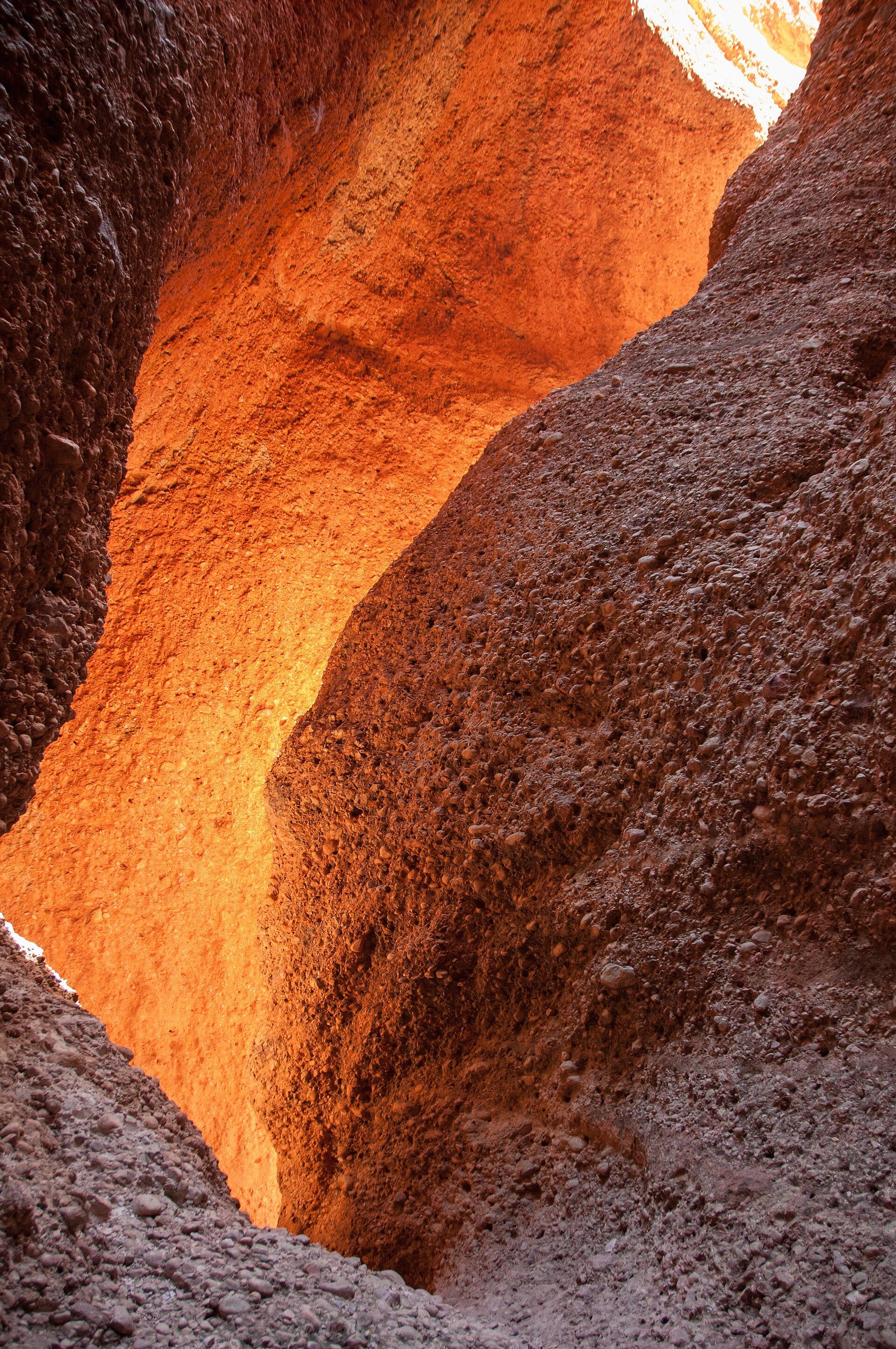
More views of Uluru
Additional photographs of the actual site — each freely licensed, with its photographer and licence credited.
What to know before you go
🗓️ Best time
The cooler months of roughly May–September for comfortable walking; summer desert heat is extreme. Sunrise and sunset are when the rock is at its most spectacular.
🧭 Getting there & access
From Yulara/Ayers Rock Airport, near Uluru-Kata Tjuta National Park in the Northern Territory. Base walks, viewing areas, and Aṉangu-led cultural tours; a park entry fee applies.
Good to know
- Please don't climb — climbing was permanently closed in 2019 out of respect for the Aṉangu, who ask visitors not to.
- Walk the base trail and join an Aṉangu-guided experience to understand the place.
- Bring water and sun protection; the desert is hot and exposed.
Plan your visit
Easy🧭 Getting there
From Ayers Rock / Yulara (AYQ), Northern Territory
- Fly from Sydney, Melbourne or Brisbane to Ayers Rock — roughly 3h from Sydney
- Or fly to Alice Springs, then drive — about 4h30–5h30
- Yulara resort to the base of the rock — around 20 minutes
- Total travel
- Most of a day from the east-coast cities
- Time at site
- 2 days to do Uluru and Kata Tjuta properly
- Access
- Uluru-Kata Tjuta National Park entry pass, valid several days, bought online or at the gate. Climbing Uluru is permanently closed at the request of the Anangu traditional owners. Several areas are restricted sites where photography is prohibited — the signs are there for a reason and are enforced.
🎒 What to bring & consider
- Considerably more water than you think — the walks are long, arid and completely shadeless
- A fly net for the face in the warmer months; the flies are relentless and no amount of stoicism helps
- Sun protection and a broad hat
- A warm layer for dawn — desert mornings here are genuinely cold
- Fuel and supplies before you set out; services are very far apart
👁️ What to expect
- Crowds
- Sunrise and sunset viewing areas fill with coaches. The 10km base walk is quiet almost the whole way round.
- Conditions
- Flat, well-formed paths. In the hottest months walks close by mid-morning on heat grounds — start at first light or not at all.
- Facilities
- Everything is at Yulara resort. Inside the park there are only toilets and shade shelters.
- The view
- The colour shift at either end of the day is the reason people come; the deepest reds need clear, dust-free air. Kata Tjuta at sunrise is the quieter alternative.
Times and requirements are approximate and change with season, weather, and local rules — confirm permits, fares, and schedules with operators before you travel.
Natural riches of the area
- A 500-million-year-old sandstone monolith and desert geology
- Desert waterholes, caves, and endemic arid-land wildlife
- A living Aboriginal cultural landscape (Aṉangu country)
- Vast dark skies over the Australian outback
Local food
- Bush tucker
- Native Australian foods such as bush tomato, quandong, and wattleseed.
- Kangaroo & barramundi
- Australian game and fish featured on outback menus.
- Damper
- A traditional bush bread baked in the coals.
Uluru rises from the flat red centre of Australia like nothing else around it — a single mass of sandstone some 348 metres high, and reaching far deeper below the surface. It is the exposed edge of a much larger rock formation, laid down over 500 million years ago and later tilted almost vertical; the iron in its sandstone rusts at the surface, which is why the rock flares through deep reds and oranges as the sun rises and sets, then cools to grey and violet in shadow.
It is also far more than geology. For the Aṉangu, the Aboriginal traditional owners of this country, Uluru is a living cultural landscape at the centre of their law and identity — its caves, waterholes, and rock art woven into knowledge passed down for tens of thousands of years. Out of respect for their wishes, climbing the rock was permanently closed in 2019. The richest way to experience Uluru is to walk its base and learn it through the people who have always known it.
Uluru is a single vast block of sandstone rising sharply from the surrounding plain, and it is far more than scenery: it is the country of the Aṉangu, its Traditional Owners, whose rock art and named sites run right around its caves, waterholes, and ridges. Out of respect for their wishes, climbing the rock was permanently closed in 2019; the rewarding way to experience it now is the roughly 10-kilometre walk around the base, where rock art and shaded gorges reveal a landscape a distant photo can’t convey. The famous colour shift — the rock glowing deep red at sunrise and sunset — comes from iron minerals in the sandstone oxidising, in effect rusting, at the surface.
Uluru: common questions
How do you get to Uluru?
From Ayers Rock / Yulara (AYQ), Northern Territory: Fly from Sydney, Melbourne or Brisbane to Ayers Rock — roughly 3h from Sydney; Or fly to Alice Springs, then drive — about 4h30–5h30; Yulara resort to the base of the rock — around 20 minutes. Total travel time: Most of a day from the east-coast cities.
When is the best time to visit Uluru?
The cooler months of roughly May–September for comfortable walking; summer desert heat is extreme. Sunrise and sunset are when the rock is at its most spectacular.
How long should you spend at Uluru?
2 days to do Uluru and Kata Tjuta properly. Total travel time: Most of a day from the east-coast cities.
What should you bring to Uluru?
Considerably more water than you think — the walks are long, arid and completely shadeless A fly net for the face in the warmer months; the flies are relentless and no amount of stoicism helps Sun protection and a broad hat A warm layer for dawn — desert mornings here are genuinely cold Fuel and supplies before you set out; services are very far apart
Do you need a permit or guide for Uluru?
Uluru-Kata Tjuta National Park entry pass, valid several days, bought online or at the gate. Climbing Uluru is permanently closed at the request of the Anangu traditional owners. Several areas are restricted sites where photography is prohibited — the signs are there for a reason and are enforced.
Is Uluru crowded, and what are conditions like?
Sunrise and sunset viewing areas fill with coaches. The 10km base walk is quiet almost the whole way round. Flat, well-formed paths. In the hottest months walks close by mid-morning on heat grounds — start at first light or not at all. Facilities: Everything is at Yulara resort. Inside the park there are only toilets and shade shelters.
Added Updated
More wonders to explore