Chocolate Hills
📍 Bohol, Central Visayas, Philippines
More than 1,200 near-symmetrical grass-covered mounds spread across the interior of Bohol, turning chocolate-brown each dry season — a karst landscape unlike anywhere else on Earth.
What makes it marvelous
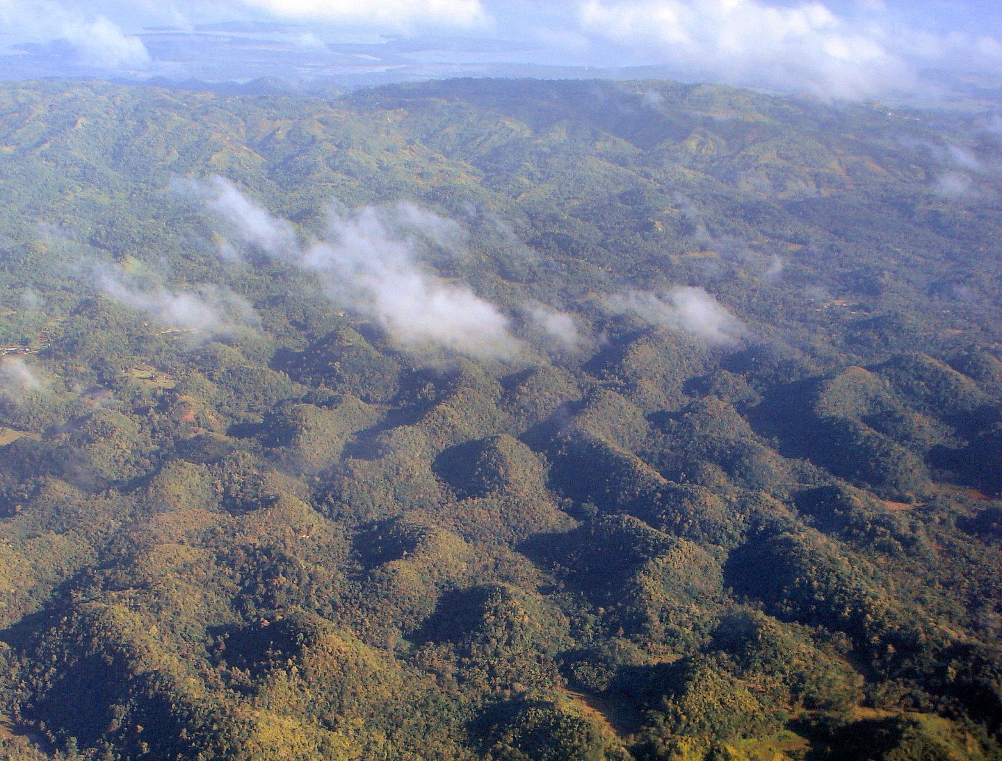
The hills are weathered marine limestone: ancient coral reef, uplifted, then dissolved by rain and groundwater into hundreds of rounded haycock knolls that rise 30 to 120 metres from a flat plain. Geologists count well over a thousand of them across roughly 50 square kilometres. In the wet season they are green; when the dry months scorch the grass, they turn a uniform cocoa brown, which is how they earned their name.
Why visit
Climbing the viewing deck at Carmen at first light, you look out over a plain studded with identical mounds fading into haze — a scene that feels engineered yet is entirely the work of water and time. It is one of the most distinctive landscapes in Southeast Asia and the emblem of Bohol.
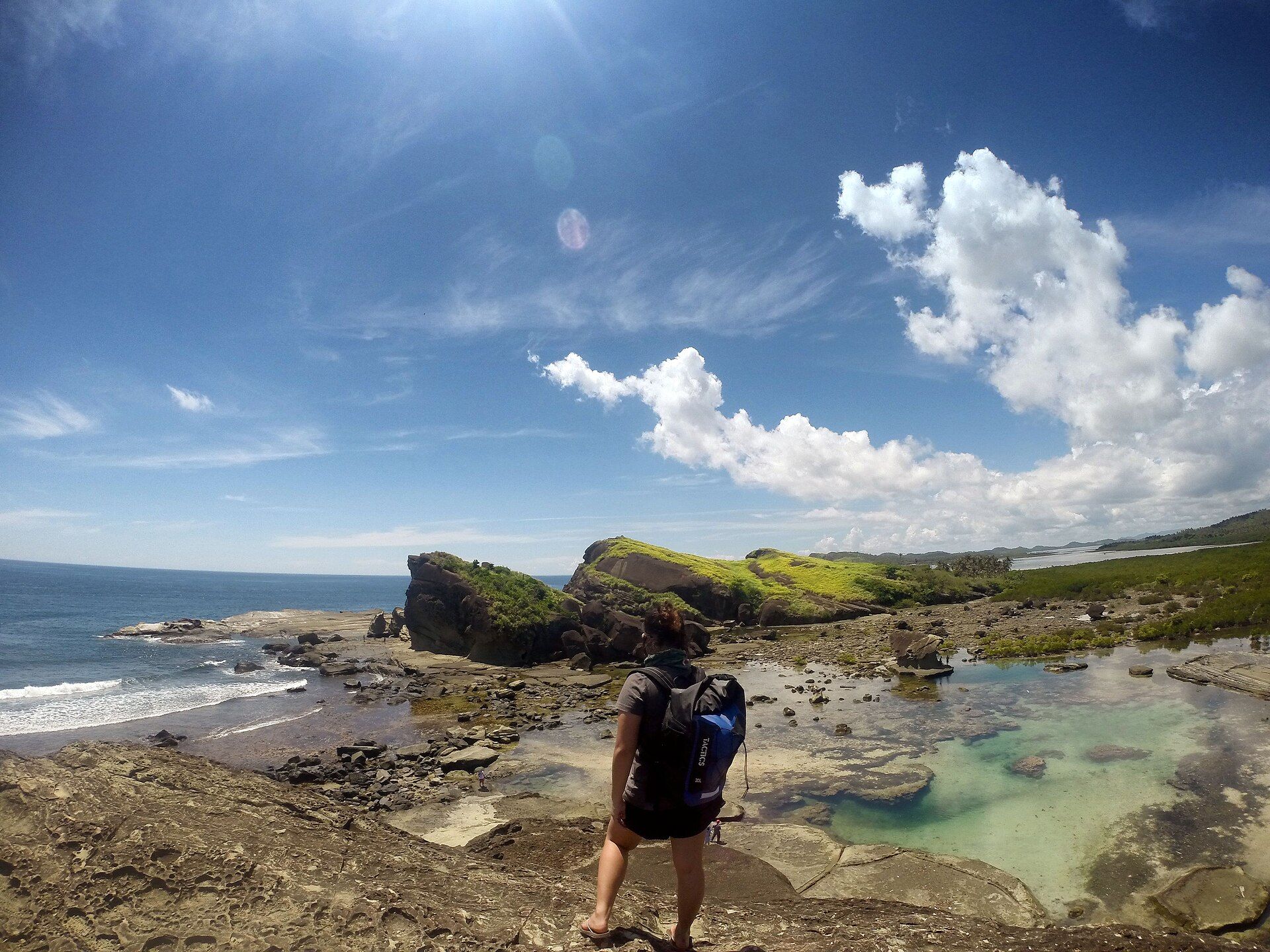
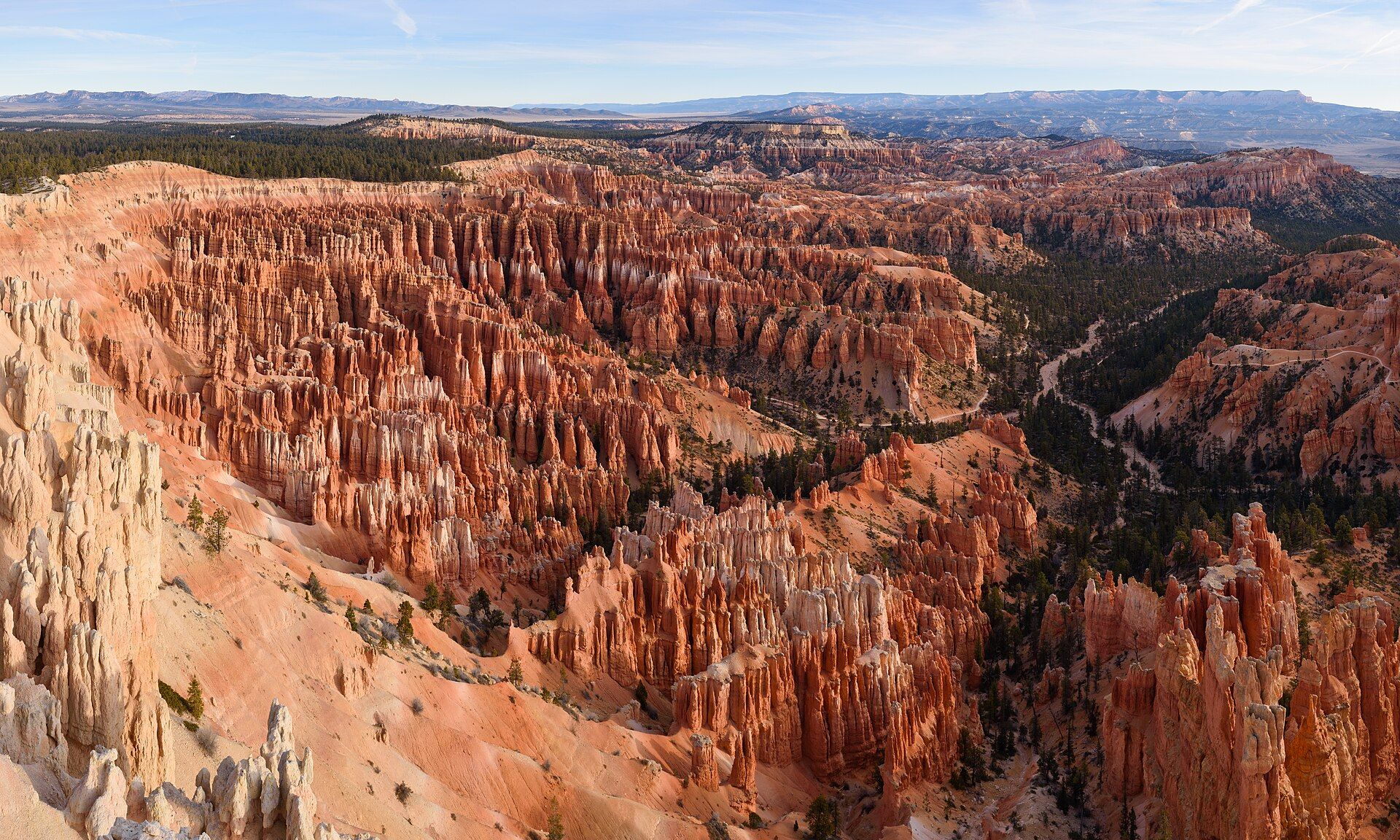
More views of Chocolate Hills
Additional photographs of the actual site — each freely licensed, with its photographer and licence credited.
What to know before you go
🗓️ Best time
Late February to May, the dry season, when the grass browns and the classic 'chocolate' effect appears and skies are clearest. Green-hill views are lovely too in the wetter months (June–November).
🧭 Getting there & access
Roughly 55 km (1.5–2 hours) from Tagbilaran City or Panglao by van, car, or motorbike. The main Chocolate Hills Complex viewpoint is in Carmen; a second deck sits in Sagbayan. A small entrance fee applies.
Good to know
- Arrive by sunrise for cool air, soft light, and hills emerging from mist.
- Pair it with the Loboc River and the Rajah Sikatuna forest to see Bohol's tarsier, one of the world's smallest primates.
- Stay on marked decks and trails — the grassland is a protected geological monument.
Plan your visit
Easy🧭 Getting there
From Tagbilaran (TAG) or Panglao (BOH), Bohol
- Fly Manila or Cebu to Bohol — about 1h15 from Manila
- Road to Carmen via Loboc — roughly 1h30–2h depending on traffic and stops
- Short climb to the Chocolate Hills Complex viewing deck — around 200 steps
- Total travel
- Half a day from Manila; about 2h from the Panglao beaches
- Time at site
- 1–2 hours at the viewpoint; half-day if combined with Loboc River
- Access
- Open access with a small viewpoint entrance fee; no guide or permit needed. Usually visited as part of a countryside day tour.
🎒 What to bring & consider
- Sun protection — the viewing deck is fully exposed and Bohol is hot year-round
- Water; the climb is short but humid
- Cash in small denominations for entrance and roadside stops
- Motion-sickness tablets if you are prone — the road winds considerably
👁️ What to expect
- Crowds
- Busiest mid-morning to early afternoon when tour groups arrive; noticeably quieter at opening and late afternoon.
- Conditions
- Paved road to the complex, then a steep flight of steps to the deck. Humid, with brief heavy showers common in the wet season.
- Facilities
- Toilets, small shops, and food stalls at the complex. Little to nothing between towns.
- The view
- The hills turn their famous cocoa-brown only in the dry season, roughly February to May. In the wet months they are green — still striking, but not the postcard.
Times and requirements are approximate and change with season, weather, and local rules — confirm permits, fares, and schedules with operators before you travel.
Natural riches of the area
- Uplifted Maribojoc limestone (fossil coral reef) — the raw material of the hills
- Karst aquifers and springs that feed Bohol's rivers
- Philippine tarsier and endemic birds in the surrounding Rajah Sikatuna forest
- Grassland and agricultural plains growing rice and root crops
Local food
- Peanut kisses
- Bohol's signature meringue cookies, shaped like tiny hills and studded with local peanuts.
- Calamay
- A sticky sweet of coconut milk, brown sugar, and glutinous rice, sold in halved-coconut shells.
- Kalamansi juice
- Cold, tart citrus drink from the small green limes grown across the islands.
Seen from the Carmen viewing deck, the Chocolate Hills look almost too regular to be natural — hundreds of rounded mounds of nearly the same shape, marching to the horizon. They are a textbook example of cone karst: a thick bed of ancient coral limestone, lifted above the sea by tectonic movement, then sculpted over hundreds of thousands of years as slightly acidic rainwater dissolved the rock along joints and fractures, leaving the harder cores standing as hills.
Each hill wears a coat of grass rather than forest, which is what makes the seasonal colour change so dramatic. Through the rains they are green; by the height of the dry season the grass browns evenly across the whole field, and the plain turns the colour of cocoa.
The hills are more than scenery. The limestone beneath them is riddled with caves and springs that store and release Bohol’s freshwater, and the surrounding forests shelter the island’s famous tarsiers. It is a landscape worth seeing slowly — and protecting carefully.
How exactly the hills formed is still debated. The leading explanations both start from the same marine limestone, uplifted and then broken down — either by the sub-surface dissolution that produces classic karst cones, or by the weathering away of softer rock from between harder cores. There are two developed lookouts — the main Chocolate Hills Complex above Carmen, with its steep flight of steps to the deck, and Sagbayan Peak to the west, which pairs the view with a small hillside park. Different surveys count the hills differently, from around 1,260 to over 1,700, because deciding where one mound ends and the next begins is genuinely a matter of judgement.
Chocolate Hills: common questions
How do you get to Chocolate Hills?
From Tagbilaran (TAG) or Panglao (BOH), Bohol: Fly Manila or Cebu to Bohol — about 1h15 from Manila; Road to Carmen via Loboc — roughly 1h30–2h depending on traffic and stops; Short climb to the Chocolate Hills Complex viewing deck — around 200 steps. Total travel time: Half a day from Manila; about 2h from the Panglao beaches.
When is the best time to visit Chocolate Hills?
Late February to May, the dry season, when the grass browns and the classic 'chocolate' effect appears and skies are clearest. Green-hill views are lovely too in the wetter months (June–November).
How long should you spend at Chocolate Hills?
1–2 hours at the viewpoint; half-day if combined with Loboc River. Total travel time: Half a day from Manila; about 2h from the Panglao beaches.
What should you bring to Chocolate Hills?
Sun protection — the viewing deck is fully exposed and Bohol is hot year-round Water; the climb is short but humid Cash in small denominations for entrance and roadside stops Motion-sickness tablets if you are prone — the road winds considerably
Do you need a permit or guide for Chocolate Hills?
Open access with a small viewpoint entrance fee; no guide or permit needed. Usually visited as part of a countryside day tour.
Is Chocolate Hills crowded, and what are conditions like?
Busiest mid-morning to early afternoon when tour groups arrive; noticeably quieter at opening and late afternoon. Paved road to the complex, then a steep flight of steps to the deck. Humid, with brief heavy showers common in the wet season. Facilities: Toilets, small shops, and food stalls at the complex. Little to nothing between towns.
Added Updated
More wonders to explore