Glen Coe
📍 Lochaber, Scottish Highlands, Scotland, United Kingdom
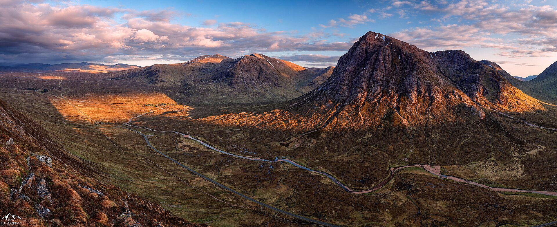
Scotland's most dramatic glen — a deep, glacier-scoured valley walled by brooding peaks and knife-edge ridges, as famous for its beauty as for the 1692 massacre that darkens its name.
What makes it marvelous
Glen Coe is a textbook U-shaped valley, carved by Ice Age glaciers through the roots of an ancient supervolcano that collapsed some 420 million years ago — one of the earliest recognised examples of a cauldron subsidence. The result is a corridor of towering rock: the pyramid of Buachaille Etive Mòr (1,022 m) standing sentinel at the eastern entrance, the plunging spurs of the Three Sisters along the south wall, and the notorious Aonach Eagach, a mile-long knife-edge ridge that ranks among mainland Britain's most serious scrambles. Waterfalls streak the crags after rain, and the whole glen carries a heavy, atmospheric grandeur under fast-moving Highland skies.
Why visit
Few roads in Britain deliver drama like the A82 as it drops into Glen Coe between soaring walls of rock. It is a magnet for hillwalkers, climbers and photographers, a gateway to Munros and classic ridges, and a place thick with history — the site of the 1692 Massacre of Glencoe, when members of Clan MacDonald were killed by soldiers they had sheltered. Even from the car, the scenery is overwhelming.
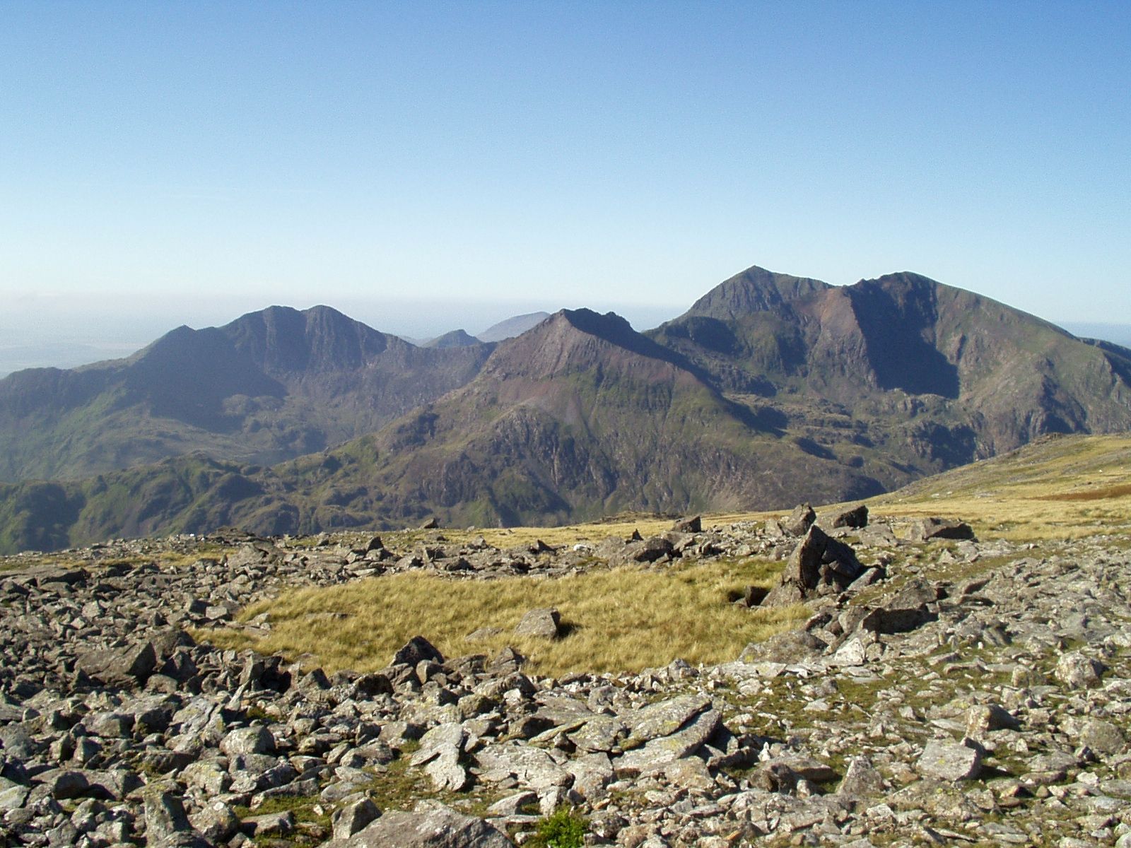
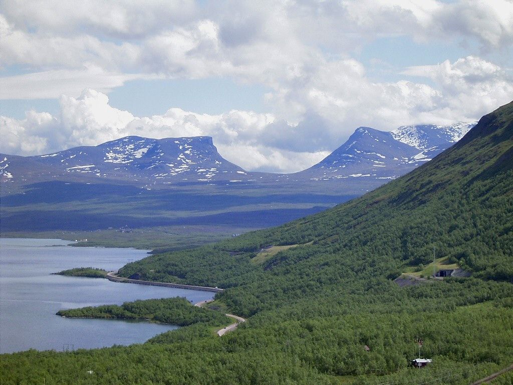
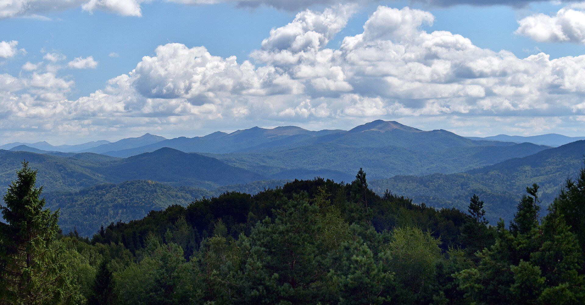
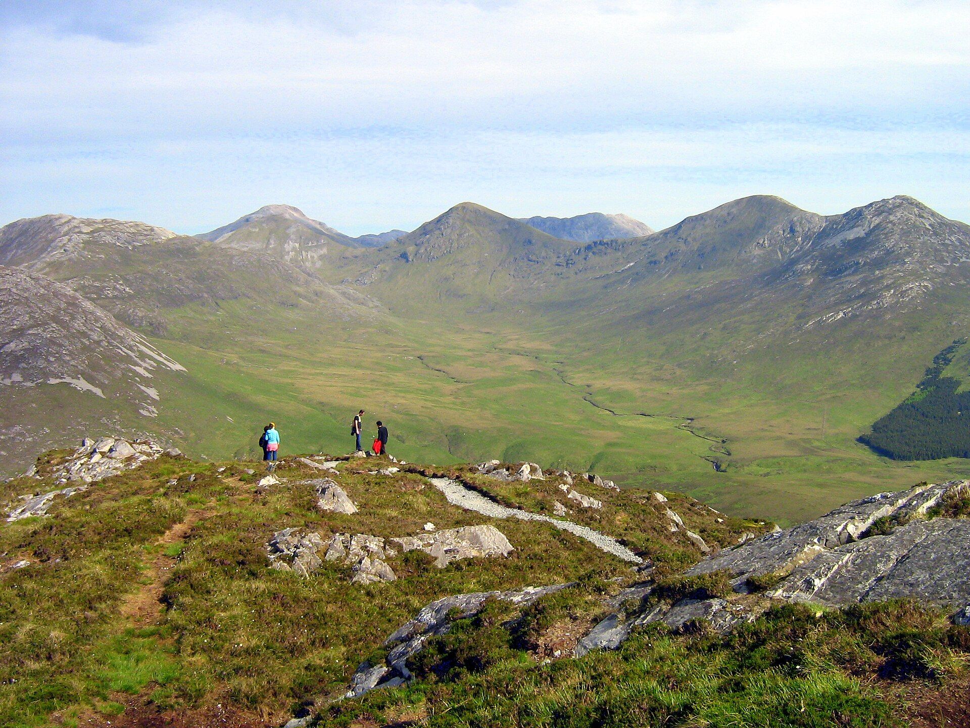
More views of Glen Coe
Additional photographs of the actual site — each freely licensed, with its photographer and licence credited.
What to know before you go
🗓️ Best time
May to September for the longest days, firmest paths and best chance of clear tops; midges peak in high summer. Winter turns the ridges into a serious mountaineering environment.
🧭 Getting there & access
The A82 runs the length of the glen between Glasgow and Fort William. The Glencoe visitor centre and Glencoe village sit at the western end; there is no entry fee to the glen itself.
Good to know
- The Aonach Eagach ridge is a committing grade-2 scramble with no safe escape midway — only for experienced, well-equipped parties.
- Bring midge repellent from June to August, especially at dawn and dusk in still weather.
- Lay-bys fill fast on fine days; arrive early for the Three Sisters and Buachaille viewpoints.
Plan your visit
Strenuous🧭 Getting there
From Fort William or Glasgow via the A82
- Drive the A82 north from Glasgow through Rannoch Moor into the glen — about 2.5 hours
- From Fort William, head south on the A82 — roughly 30–40 minutes
- Total travel
- About 2.5–3 hours from Glasgow; under an hour from Fort William
- Time at site
- Half a day for viewpoints; a full day or more for the hills
- Access
- The glen is open and free to drive and walk. The National Trust for Scotland visitor centre has parking, exhibits and a cafe; mountain routes need proper preparation.
🎒 What to bring & consider
- Waterproofs and warm layers — Highland weather is wet and changeable year-round
- Sturdy boots and hill skills for any summit or ridge; winter needs ice axe and crampons
- Midge repellent in summer
- A full tank and supplies — services in the glen are limited
👁️ What to expect
- Crowds
- Roadside viewpoints are popular in season; the high ridges thin out quickly.
- Conditions
- Grand but serious mountain terrain with fast weather and real exposure up high.
- Facilities
- A visitor centre and village at the western end; little else within the glen.
- The view
- Buachaille Etive Mòr mirrored in the River Coupall, best at dawn with low mist.
Times and requirements are approximate and change with season, weather, and local rules — confirm permits, fares, and schedules with operators before you travel.
Natural riches of the area
- A glacier-carved U-shaped valley cut through the remains of an ancient collapsed volcano
- Munro peaks including Bidean nam Bian and the sentinel Buachaille Etive Mòr
- The Aonach Eagach, one of Britain's finest and most exposed mountain ridges
- Native Highland moorland, cascading burns and red-deer country
Local food
- Cullen skink
- A thick Scottish soup of smoked haddock, potato and onion.
- Venison
- Red-deer meat from the surrounding Highland estates, served in local inns.
- Cranachan
- A dessert of whipped cream, toasted oats, raspberries and whisky.
Glen Coe is the Scottish Highlands distilled: a deep, glacier-cut valley walled by dark, soaring peaks, where the A82 threads between the pyramid of Buachaille Etive Mòr and the plunging buttresses of the Three Sisters. The rock itself tells a violent story — the glen is carved through the collapsed remains of an ancient volcano, later ground into a classic U-shape by Ice Age ice.
For walkers and climbers it is hallowed ground. Munros rise on either side, waterfalls streak the crags after rain, and along the northern wall runs the Aonach Eagach, a mile-long knife-edge ridge that is one of the most exhilarating and serious scrambles on the British mainland. Even travellers who never leave the road come away shaken by the scale of the place.
Glen Coe carries its history heavily, too. It was here, in 1692, that the Massacre of Glencoe took place, when soldiers turned on the Clan MacDonald who had given them shelter — a betrayal that still colours the glen’s brooding, unforgettable atmosphere.
Glen Coe: common questions
How do you get to Glen Coe?
From Fort William or Glasgow via the A82: Drive the A82 north from Glasgow through Rannoch Moor into the glen — about 2.5 hours; From Fort William, head south on the A82 — roughly 30–40 minutes. Total travel time: About 2.5–3 hours from Glasgow; under an hour from Fort William.
When is the best time to visit Glen Coe?
May to September for the longest days, firmest paths and best chance of clear tops; midges peak in high summer. Winter turns the ridges into a serious mountaineering environment.
How long should you spend at Glen Coe?
Half a day for viewpoints; a full day or more for the hills. Total travel time: About 2.5–3 hours from Glasgow; under an hour from Fort William.
What should you bring to Glen Coe?
Waterproofs and warm layers — Highland weather is wet and changeable year-round Sturdy boots and hill skills for any summit or ridge; winter needs ice axe and crampons Midge repellent in summer A full tank and supplies — services in the glen are limited
Do you need a permit or guide for Glen Coe?
The glen is open and free to drive and walk. The National Trust for Scotland visitor centre has parking, exhibits and a cafe; mountain routes need proper preparation.
Is Glen Coe crowded, and what are conditions like?
Roadside viewpoints are popular in season; the high ridges thin out quickly. Grand but serious mountain terrain with fast weather and real exposure up high. Facilities: A visitor centre and village at the western end; little else within the glen.
Added
More wonders to explore