Santorini Caldera
📍 Cyclades, Aegean Sea, Greece
A flooded volcanic crater ringed by 300-metre cliffs of banded ash and lava — the drowned remains of one of the largest eruptions in human history.
What makes it marvelous
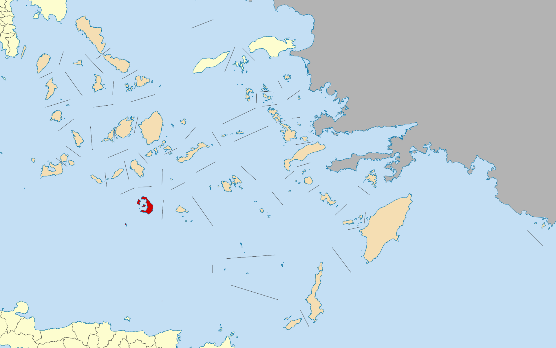
Santorini is the shattered remnant of a volcano. Around 1600 BCE, in one of the largest eruptions in recorded human history, the island's magma chamber emptied and the centre collapsed into the sea, leaving a caldera roughly 12 by 7 kilometres now flooded by the Aegean. What survives is a crescent of cliffs rising as much as 300 metres straight from deep water, their faces banded in layers of red, black, and white ash and lava that read like a cross-section of the eruption itself. In the middle of the bay, the dark islets of Nea Kameni are younger cones still steaming from vents, built by eruptions since. The blast devastated the region and is often linked to the decline of Minoan Crete; its ash layer has been identified in seabed sediment far beyond the Aegean. Black and red volcanic beaches ring the outer shores.
Why visit
Standing on a clifftop 300 metres above a flooded volcanic crater — the water filling the hole left by one of history's greatest eruptions — is a geological spectacle as striking as the island's famous sunsets.
Still deciding?
Santorini Caldera comes up most often against these — each one weighs cost, effort, season and crowds side by side.
What to know before you go
🗓️ Best time
Late spring and early autumn (roughly May–June and September–October) for warm weather without peak summer heat and crowds; July–August is very busy.
🧭 Getting there & access
In the Cyclades, reached by ferry from Athens or by air; the caldera-rim towns of Fira and Oia offer the classic views, and boats run to the steaming Nea Kameni cones in the bay.
Good to know
- Take a boat to Nea Kameni to walk on the active young cones.
- Visit in shoulder season — July and August are extremely crowded.
- Walk the Fira–Oia clifftop path for the finest caldera views.
Plan your visit
Easy🧭 Getting there
From Fira, Santorini, Greece
- Fly Athens → Santorini (JTR) — roughly 45 minutes — or take the ferry
- Transfer to Fira or Oia on the caldera rim — about 15–30 minutes
- Walk the caldera-edge path between Fira and Oia — roughly 2h30–3h one way
- Total travel
- A short flight or a ferry from Athens
- Time at site
- Two or three days on the island
- Access
- The caldera villages are open and free to wander; what you are managing here is crowds and heat, not permits. Oia's sunset is the famous crush — thousands pack the same lanes and the castle ruin for the same photograph — so claim a spot early or watch from a quieter stretch of rim. Cruise ships disgorge day-trippers into Fira over the middle of the day. The old-port cable car is the humane way down to the water; the alternative donkey rides raise real animal-welfare concerns and are best avoided. The caldera-edge walk between Fira and Oia is hot and shadeless.
🎒 What to bring & consider
- A sunset spot claimed well ahead in Oia, or the sense to watch from a less mobbed part of the rim, because the famous viewpoint is a genuine crush
- The cable car rather than the donkeys for the old port, sparing the animals a trip that welfare groups have long criticised
- Proper shoes and lots of water for the Fira-to-Oia rim walk, which is longer, hotter and less shaded than it looks
- Sun protection for a bright, treeless island where the whitewash reflects the heat back at you
- Water shoes for the volcanic beaches, whose black sand gets scorching and whose shallows are stony
👁️ What to expect
- Crowds
- Intense in Oia at sunset and in Fira when cruise ships are in. Early mornings on the rim are calm.
- Conditions
- Hot, bright and dry, with easy walking on paved lanes and a longer clifftop path between towns.
- Facilities
- Full resort infrastructure — hotels, restaurants, cable car, boat trips into the caldera.
- The view
- The blue domes of Oia above the caldera at sunset — the reason everyone comes and everyone queues. The same rooftops in the soft light just after dawn give you the shot with the lanes to yourself.
Times and requirements are approximate and change with season, weather, and local rules — confirm permits, fares, and schedules with operators before you travel.
Natural riches of the area
- A flooded caldera ~12 x 7 km from a ~1600 BCE eruption
- Cliffs to 300 m banded with ash and lava layers
- The steaming young cones of Nea Kameni
- Black and red volcanic beaches and fertile volcanic soils
Local food
- Santorini cherry tomatoes
- Intensely sweet tomatoes grown in dry volcanic soil without irrigation.
- Fava
- A yellow split-pea purée, a protected Santorini specialty.
- Assyrtiko wine
- A crisp white from vines trained in baskets against the island wind.
Santorini is what remains of a volcano that destroyed itself. Around 1600 BCE, in one of the largest eruptions in recorded human history, the magma chamber beneath the island emptied and the whole centre collapsed into the sea. What was left is a caldera roughly twelve by seven kilometres, flooded by the Aegean — and a crescent of cliffs rising as much as 300 metres straight out of deep water.
Those cliff faces are the real marvel: banded in red, black, and white layers of ash and lava, they read like a cross-section of the eruption itself. In the middle of the bay sit the dark islets of Nea Kameni, younger cones built by later eruptions and still steaming from their vents, which visitors can walk on. The original blast devastated the eastern Mediterranean and is often linked to the decline of Minoan Crete; its ash layer is still used as a dating marker at archaeological sites across the region. The famous sunsets are simply a bonus.
The scale is easiest to grasp from the water. The flooded basin drops to about 385 metres — too deep across most of its area for a ship simply to drop anchor — and the eruption that made it is now estimated to have ejected on the order of 80 cubic kilometres of magma, placing it among the largest of the last ten thousand years. The volcano is not finished, either: Nea Kameni’s most recent eruption was in 1950, and its summit fumaroles are still warm to the hand. Two expectations worth adjusting. Santorini has essentially no white-sand beaches — its coasts are black, grey and red volcanic gravel, several of them genuinely hot underfoot by midday. And Oia’s sunset is crowded to the point of gridlock; the caldera-rim path back toward Fira offers much the same light with a fraction of the people.
Santorini Caldera: common questions
How do you get to Santorini Caldera?
From Fira, Santorini, Greece: Fly Athens → Santorini (JTR) — roughly 45 minutes — or take the ferry; Transfer to Fira or Oia on the caldera rim — about 15–30 minutes; Walk the caldera-edge path between Fira and Oia — roughly 2h30–3h one way. Total travel time: A short flight or a ferry from Athens.
When is the best time to visit Santorini Caldera?
Late spring and early autumn (roughly May–June and September–October) for warm weather without peak summer heat and crowds; July–August is very busy.
How long should you spend at Santorini Caldera?
Two or three days on the island. Total travel time: A short flight or a ferry from Athens.
What should you bring to Santorini Caldera?
A sunset spot claimed well ahead in Oia, or the sense to watch from a less mobbed part of the rim, because the famous viewpoint is a genuine crush The cable car rather than the donkeys for the old port, sparing the animals a trip that welfare groups have long criticised Proper shoes and lots of water for the Fira-to-Oia rim walk, which is longer, hotter and less shaded than it looks Sun protection for a bright, treeless island where the whitewash reflects the heat back at you Water shoes for the volcanic beaches, whose black sand gets scorching and whose shallows are stony
Do you need a permit or guide for Santorini Caldera?
The caldera villages are open and free to wander; what you are managing here is crowds and heat, not permits. Oia's sunset is the famous crush — thousands pack the same lanes and the castle ruin for the same photograph — so claim a spot early or watch from a quieter stretch of rim. Cruise ships disgorge day-trippers into Fira over the middle of the day. The old-port cable car is the humane way down to the water; the alternative donkey rides raise real animal-welfare concerns and are best avoided. The caldera-edge walk between Fira and Oia is hot and shadeless.
Is Santorini Caldera crowded, and what are conditions like?
Intense in Oia at sunset and in Fira when cruise ships are in. Early mornings on the rim are calm. Hot, bright and dry, with easy walking on paved lanes and a longer clifftop path between towns. Facilities: Full resort infrastructure — hotels, restaurants, cable car, boat trips into the caldera.
Added Updated
More wonders to explore
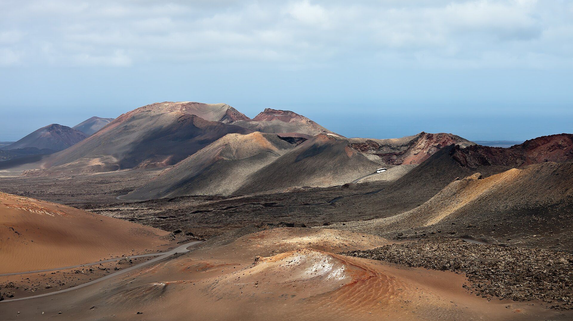
Timanfaya National Park
South-west Lanzarote, Canary Islands, Spain, in the municipalities of Yaiza and Tinajo
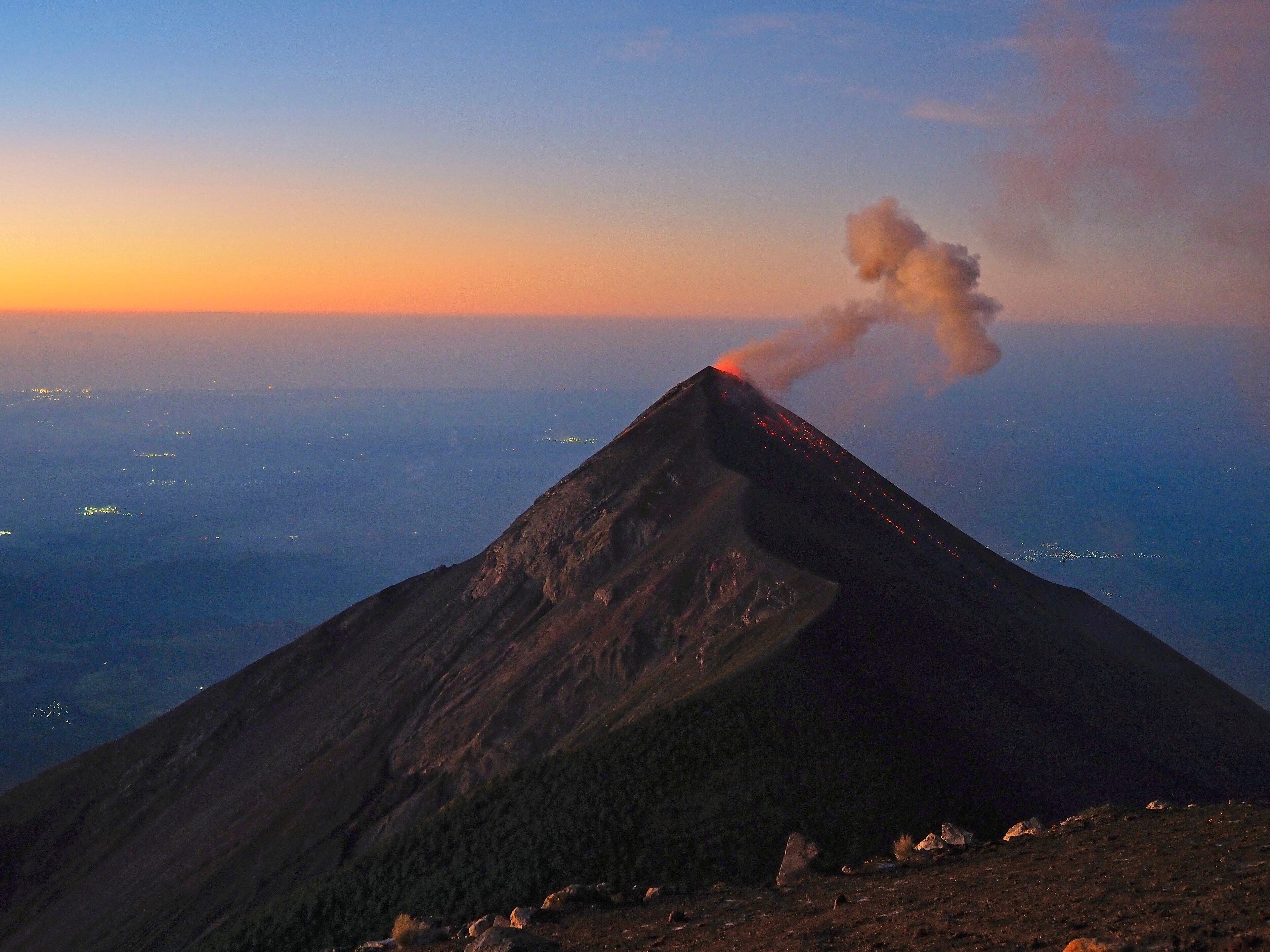
Acatenango
Sacatepéquez and Chimaltenango Departments, near Antigua, Guatemala