Mount Teide
📍 Tenerife, Canary Islands, Spain
Spain's highest peak and the third-largest volcano on Earth measured from its base — a 3,715-metre cone rising from a vast caldera of frozen lava, often floating above a sea of cloud.
What makes it marvelous
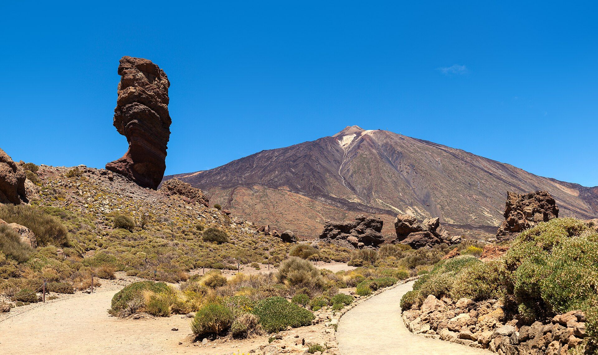
Teide is a stratovolcano that reaches 3,715 metres, the highest point in Spain and in the whole Atlantic, and — measured from its base on the ocean floor — one of the largest volcanoes on the planet. It stands inside Las Cañadas, a huge caldera left by the collapse of an earlier volcano, and the surrounding plain is a moonscape of lava flows, pumice, and twisted rock in ochre, black, and rust. It last erupted in 1909, and the national park around it is a UNESCO World Heritage Site.
Why visit
The drive up through Teide National Park crosses one of the most surreal volcanic landscapes in Europe, and the cone frequently rises clear above a blanket of cloud below. A cable car climbs almost to the top, the thin high-altitude air makes the Canary skies some of the darkest in Europe for stargazing, and in late spring the slopes flush red with the flowering tajinaste.
Still deciding?
Mount Teide comes up most often against one other place — each one weighs cost, effort, season and crowds side by side.
More views of Mount Teide
Additional photographs of the actual site — each freely licensed, with its photographer and licence credited.
What to know before you go
🗓️ Best time
Spring and autumn for mild weather; winter brings snow to the cone and a striking white-on-black contrast. Skies are clearest and best for stargazing around the new moon.
🧭 Getting there & access
From the resorts and the capital Santa Cruz on Tenerife, mountain roads climb into the national park. A cable car runs from the roadside to about 3,555 m; the final path to the actual summit requires a free permit booked well in advance, and numbers are capped.
Good to know
- Book the free summit permit online weeks ahead — the daily quota fills fast.
- Bring warm layers even in summer; the summit is far colder than the coast and often windy.
- The altitude is real — take the cable car slowly and don't rush the summit path.
Plan your visit
Moderate🧭 Getting there
From Tenerife (TFN/TFS), Canary Islands
- Fly to Tenerife; both island airports connect to the national park by road
- Drive up to the park and the cable-car base station — roughly 1h–1h30 from the coast
- Cable car to 3,555 m, then the permit-only path to the 3,715 m summit
- Total travel
- A full day from the coast, including the drive and the cable car
- Time at site
- Half a day for the viewpoints and cable car; a full day with the summit
- Access
- The national park is freely accessible by road. The cable car is ticketed and weather-dependent (it closes in high wind). The final summit cone needs a free, capped permit obtained in advance; without it you can still ride to 3,555 m.
🎒 What to bring & consider
- Warm, windproof layers — the summit sits near freezing and windy even in summer
- Sun protection; the high-altitude UV is fierce above the clouds
- Your printed or downloaded summit permit, checked on the trail
- Water and snacks; facilities above the base station are minimal
👁️ What to expect
- Crowds
- The cable car and main viewpoints get busy midday; early and late are calmer, and sunrise/sunset tours run separately.
- Conditions
- A paved mountain road to the base, then thin air and a rocky, exposed summit path. Weather changes fast at altitude.
- Facilities
- Visitor centre, parador hotel, and a café near the park; little at the top beyond the upper cable-car station.
- The view
- Teide above a sea of cloud, or its shadow cast as a perfect triangle at sunrise. Winter snow on the black cone is the other classic — but the cable car closes in strong wind, so allow spare days.
Times and requirements are approximate and change with season, weather, and local rules — confirm permits, fares, and schedules with operators before you travel.
Natural riches of the area
- An active stratovolcano and its collapsed caldera, Las Cañadas
- Extensive lava fields, pumice plains, and volcanic minerals
- Endemic high-altitude plants such as the red-flowering Teide bugloss (tajinaste)
- Exceptionally dark, clear skies used by the Teide Observatory
Local food
- Papas arrugadas con mojo
- Canarian salt-crusted ‘wrinkled’ potatoes with red and green mojo sauces.
- Gofio
- Roasted grain meal, a Canarian staple used in soups, desserts, and dough.
Teide is the giant at the heart of Tenerife — a 3,715-metre volcano so tall it makes its own weather, often standing in bright sun above a floor of cloud that hides the coast far below. It rises from Las Cañadas, a vast caldera scooped out when an older volcano collapsed, and the plain around it is a bewildering field of lava, pumice, and rock stained ochre, rust, and black. It is the highest point in Spain and, measured from its base on the Atlantic floor, one of the largest volcanoes on Earth.
The mountain is still active — its last eruption was in 1909 — and the national park that protects it is a UNESCO World Heritage Site. A cable car carries visitors to within 160 metres of the top, where a permit is needed for the final path, and the clarity and darkness of the sky make these slopes one of Europe’s great stargazing sites. In late spring the volcanic ground comes briefly alive with the tall red spikes of the tajinaste, a plant found nowhere else.
Mount Teide: common questions
How do you get to Mount Teide?
From Tenerife (TFN/TFS), Canary Islands: Fly to Tenerife; both island airports connect to the national park by road; Drive up to the park and the cable-car base station — roughly 1h–1h30 from the coast; Cable car to 3,555 m, then the permit-only path to the 3,715 m summit. Total travel time: A full day from the coast, including the drive and the cable car.
When is the best time to visit Mount Teide?
Spring and autumn for mild weather; winter brings snow to the cone and a striking white-on-black contrast. Skies are clearest and best for stargazing around the new moon.
How long should you spend at Mount Teide?
Half a day for the viewpoints and cable car; a full day with the summit. Total travel time: A full day from the coast, including the drive and the cable car.
What should you bring to Mount Teide?
Warm, windproof layers — the summit sits near freezing and windy even in summer Sun protection; the high-altitude UV is fierce above the clouds Your printed or downloaded summit permit, checked on the trail Water and snacks; facilities above the base station are minimal
Do you need a permit or guide for Mount Teide?
The national park is freely accessible by road. The cable car is ticketed and weather-dependent (it closes in high wind). The final summit cone needs a free, capped permit obtained in advance; without it you can still ride to 3,555 m.
Is Mount Teide crowded, and what are conditions like?
The cable car and main viewpoints get busy midday; early and late are calmer, and sunrise/sunset tours run separately. A paved mountain road to the base, then thin air and a rocky, exposed summit path. Weather changes fast at altitude. Facilities: Visitor centre, parador hotel, and a café near the park; little at the top beyond the upper cable-car station.
Added
More wonders to explore
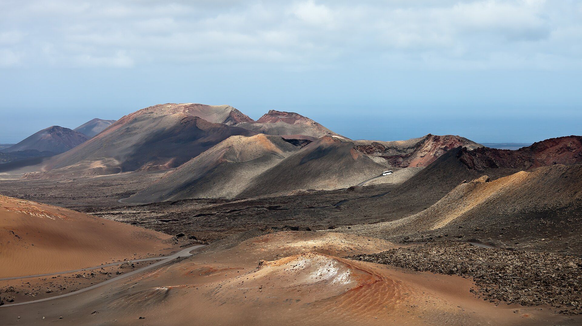
Timanfaya National Park
South-west Lanzarote, Canary Islands, Spain, in the municipalities of Yaiza and Tinajo