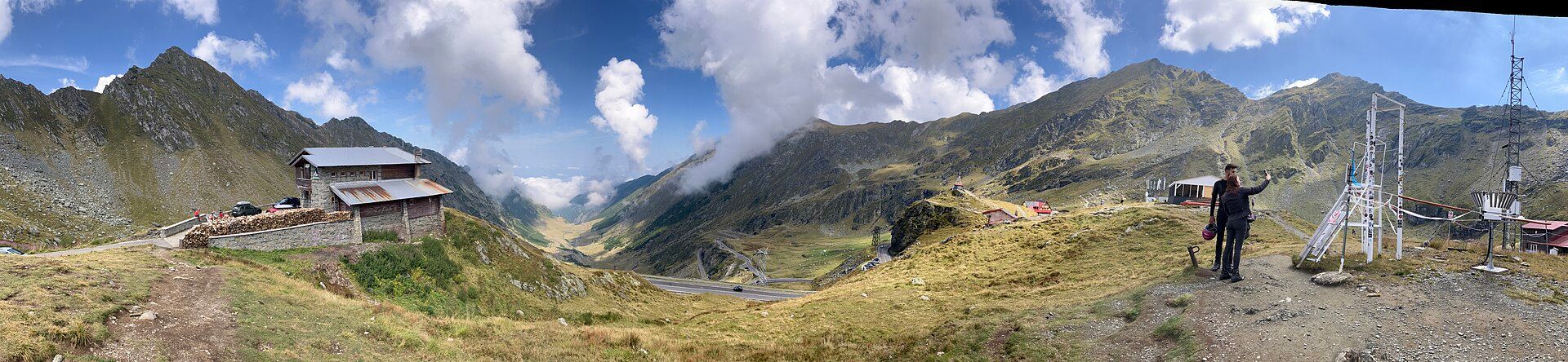
Pelister National Park
📍 Baba Mountain, above Bitola, southwestern North Macedonia
North Macedonia's oldest national park, on Baba Mountain above Bitola: forests of the rare Macedonian pine, high granite ridges, and two glacial lakes known as Pelister's Eyes just below the 2,601-m summit.
What makes it marvelous
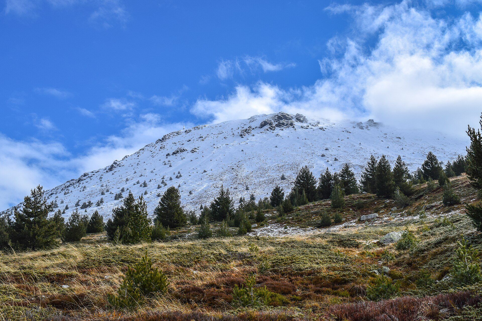
Pelister National Park was declared in 1948 — the first national park in what is now North Macedonia — and protects about 171 km² of Baba Mountain. Its summit, Pelister, rises to 2,601 m, and just below it lie two glacial lakes, the Big Lake at 2,218 m and the Small Lake at 2,180 m, known together as Pelister's Eyes. Lower down the park is famous for molika, the Macedonian or Balkan pine (Pinus peuce), a five-needle pine found only in the Balkans that grows 30–50 m tall and forms forests between about 1,200 and 1,600 m; some trees are more than 230 years old. Wolves, brown bears, otters and lynx live in the park.
Why visit
A day's walk from the old city of Bitola takes you through forests of a pine found only in the Balkans to glacial lakes high on a granite mountain.
What to know before you go
🗓️ Best time
July to September for hiking to the lakes, once the snow has gone from the high trails; winter for skiing at Nižepole and Kopanki.
🧭 Getting there & access
The park begins about 14 km from Bitola. The main approaches are from Nižepole and from Dihovo village, a few kilometres west of the city; there is no public transport to the trailheads, so take a taxi or drive. The nearest airports are Ohrid and Skopje.
Good to know
- The hike from Nižepole to the Big Lake is about 9 km each way — allow six to eight hours for the return trip.
- Carry plenty of water and warm layers, and download an offline map before you set out.
- Snow patches often linger on the high trails into June.
Plan your visit
Strenuous🧭 Getting there
From Bitola, via Ohrid (OHD) or Skopje (SKP) airport
- Fly into Ohrid or Skopje
- Drive or take a bus to Bitola
- Taxi to the Nižepole trailhead or Dihovo village
- Hike up through the pine forest to the lakes
- Total travel
- 2 days including Bitola
- Time at site
- A long full day for the lakes
- Access
- Roads reach Nižepole, Kopanki and Dihovo; beyond them the park is on foot along more than 40 marked trails. A mountain lodge at Kopanki sits at about 1,610 m.
🎒 What to bring & consider
- Hiking boots and warm, waterproof layers
- Plenty of water and food for a full day
- An offline map
👁️ What to expect
- Crowds
- Quiet on weekdays; walkers from Bitola on summer weekends.
- Conditions
- A long climb on mountain trails to above 2,200 m; snow lingers into early summer.
- Facilities
- Lodges at Kopanki and a shelter near the Big Lake that opens on summer weekends; nothing else on the high trails.
- The view
- The dark water of the Big Lake in its granite bowl below the summit.
Times and requirements are approximate and change with season, weather, and local rules — confirm permits, fares, and schedules with operators before you travel.
Natural riches of the area
- Molika, the Macedonian pine (Pinus peuce), endemic to the Balkans
- Pelister's Eyes — two glacial lakes at about 2,200 m
- Pelister peak, 2,601 m, on Baba Mountain
- Habitat for wolves, brown bears, otters and lynx
Local food
- Tavče gravče
- Beans baked in a clay dish — North Macedonia's national dish.
- Skara
- Grilled meats, served at taverns in Bitola and the villages below the park.
Pelister rises straight out of the plain behind Bitola, and the national park that bears its name is the oldest in North Macedonia — declared in 1948 to protect about 171 square kilometres of Baba Mountain.
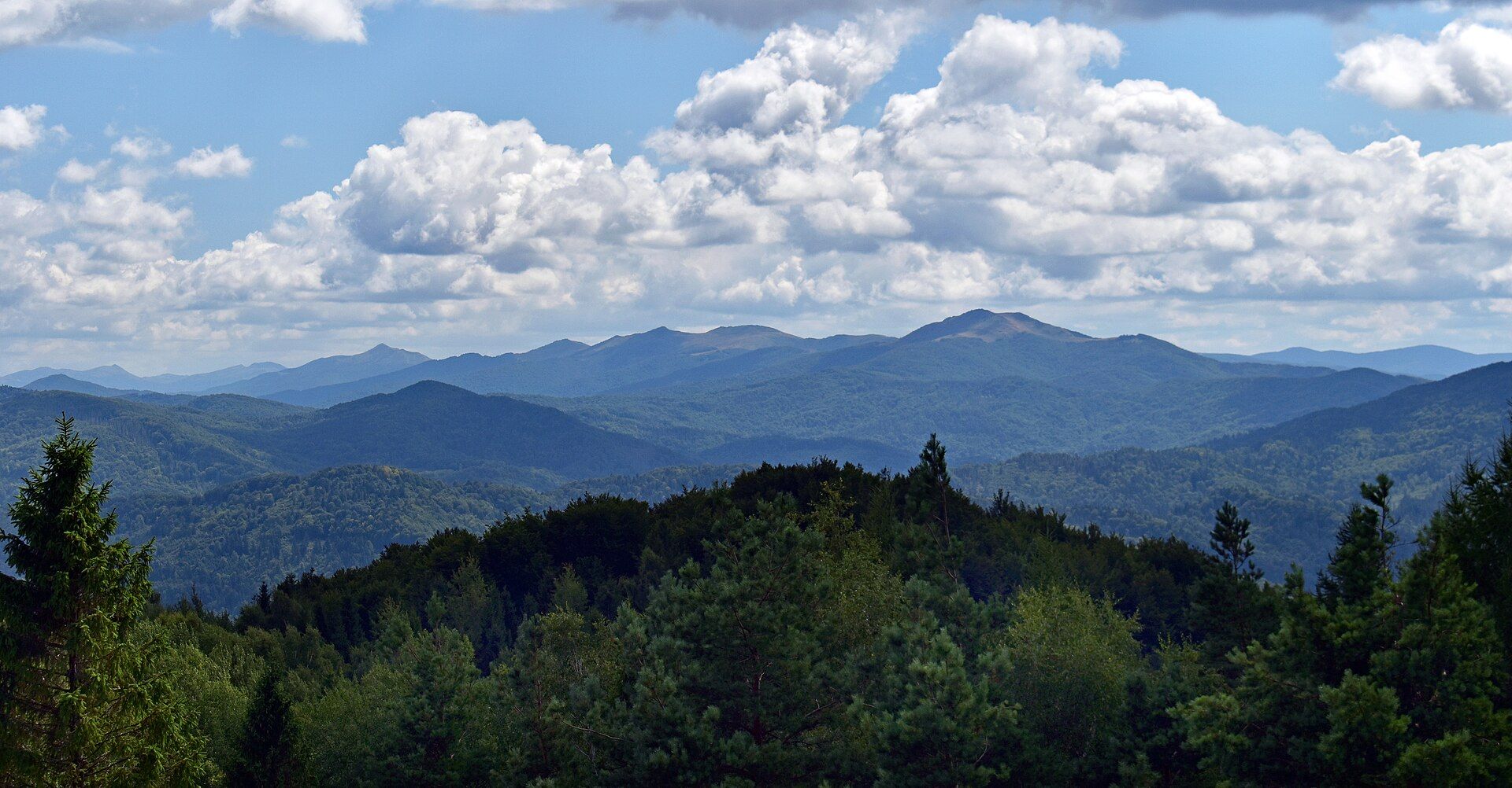
The park’s signature is a tree. Molika, the Macedonian pine, is a five-needle pine found only in the Balkans, and on Pelister it forms whole forests between about 1,200 and 1,600 metres, with trees growing 30 to 50 metres tall and some more than 230 years old. Above the forest the mountain opens into granite ridges and high pasture.
Just below the 2,601-metre summit lie two glacial lakes, the Big Lake and the Small Lake, which local people call Pelister’s Eyes. Reaching them is a proper day out — about nine kilometres each way from Nižepole — but the reward is a pair of cold, dark tarns cupped high on the mountain with views back over Bitola and the Pelagonia plain. In winter the slopes at Nižepole and Kopanki become ski runs.
Pelister National Park: common questions
How do you get to Pelister National Park?
From Bitola, via Ohrid (OHD) or Skopje (SKP) airport: Fly into Ohrid or Skopje; Drive or take a bus to Bitola; Taxi to the Nižepole trailhead or Dihovo village; Hike up through the pine forest to the lakes. Total travel time: 2 days including Bitola.
When is the best time to visit Pelister National Park?
July to September for hiking to the lakes, once the snow has gone from the high trails; winter for skiing at Nižepole and Kopanki.
How long should you spend at Pelister National Park?
A long full day for the lakes. Total travel time: 2 days including Bitola.
What should you bring to Pelister National Park?
Hiking boots and warm, waterproof layers Plenty of water and food for a full day An offline map
Do you need a permit or guide for Pelister National Park?
Roads reach Nižepole, Kopanki and Dihovo; beyond them the park is on foot along more than 40 marked trails. A mountain lodge at Kopanki sits at about 1,610 m.
Is Pelister National Park crowded, and what are conditions like?
Quiet on weekdays; walkers from Bitola on summer weekends. A long climb on mountain trails to above 2,200 m; snow lingers into early summer. Facilities: Lodges at Kopanki and a shelter near the Big Lake that opens on summer weekends; nothing else on the high trails.
Added
More wonders to explore
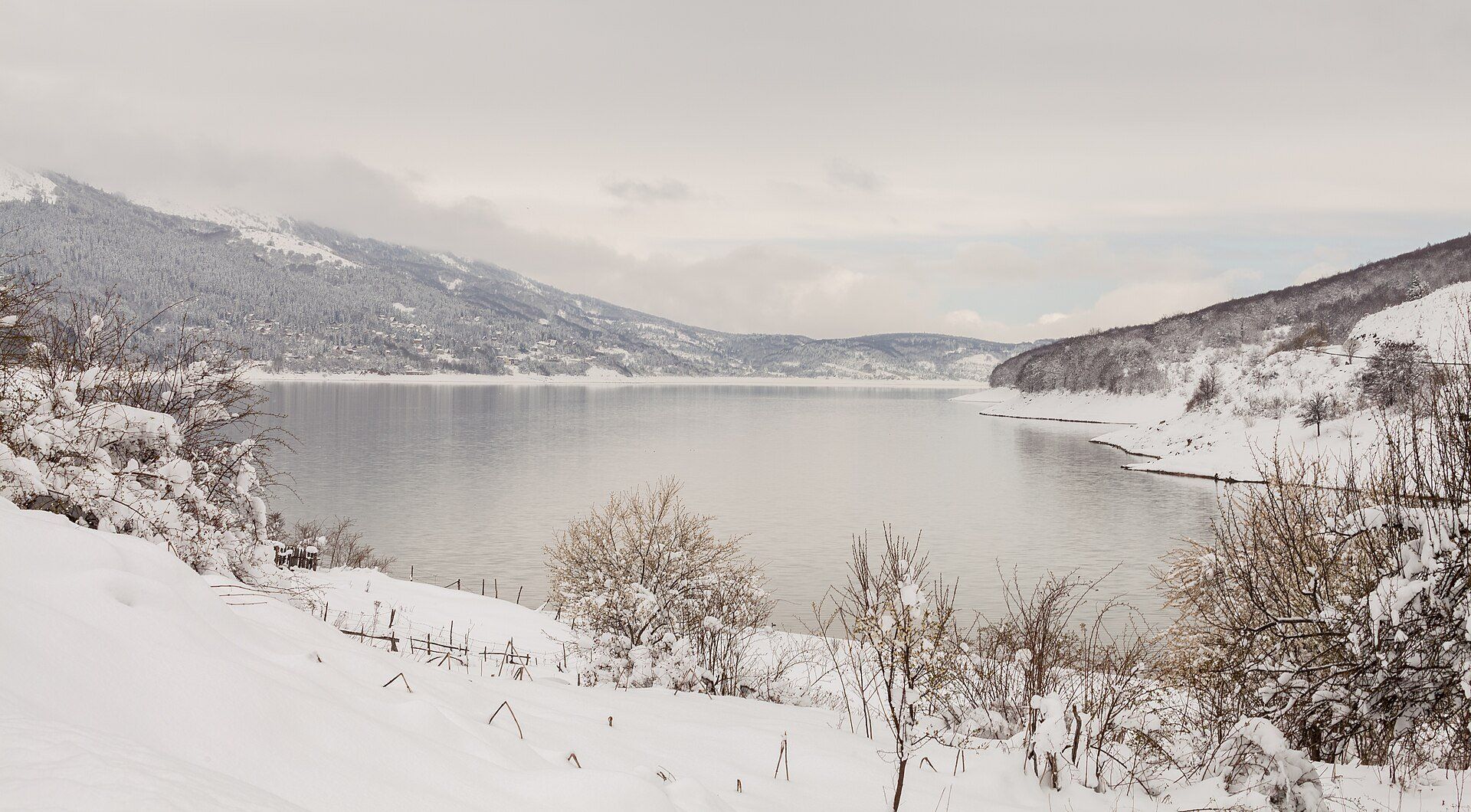
Mavrovo National Park
Northwestern North Macedonia, between Gostivar, Debar and Kičevo, on the borders with Albania and Kosovo