Mavrovo National Park
📍 Northwestern North Macedonia, between Gostivar, Debar and Kičevo, on the borders with Albania and Kosovo
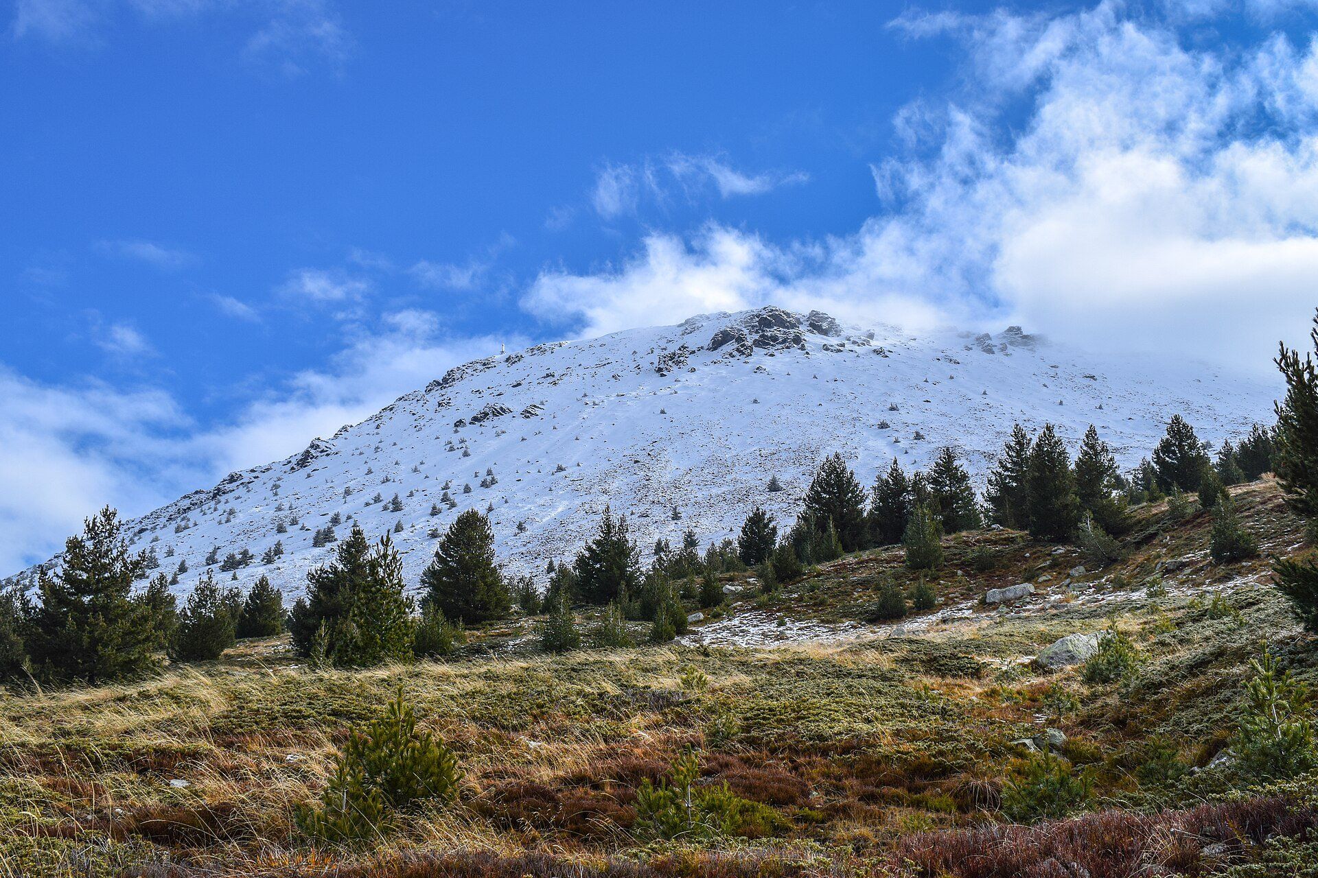
North Macedonia's largest national park: a high country of beech and fir forest, the 25-km Radika gorge, a mountain reservoir lake with a half-drowned church, and Korab, the highest peak in the country at 2,764 m.
What makes it marvelous
Mavrovo National Park was created in 1949 and spans an altitude range from about 600 m to 2,764 m on the summit of Korab, the highest peak in North Macedonia, on the Albanian border. The Radika River runs through the park in a gorge more than 25 km long between the Šar, Korab and Bistra mountains, with cliffs rising over 300 m. At its heart is Lake Mavrovo, a reservoir begun in the early 1950s for a hydroelectric scheme; when the water rose in 1953 it submerged the village church of St Nicholas, whose roofless nave still stands in the lake and can be reached on foot in dry summers. The forests shelter bears, wolves and otters, more than 140 bird species, and one of the last populations of the critically rare Balkan lynx.
Why visit
Big, empty mountain country an hour from Skopje — lake swims and hikes in summer, skiing on Bistra in winter, and a church standing in the middle of a lake.
What to know before you go
🗓️ Best time
June to September for hiking and the lake, when falling water levels often expose the path to St Nicholas church; late spring for Korab Falls at full flow; December to March for skiing on Bistra.
🧭 Getting there & access
About 95 km west of Skopje by road, via Gostivar; minibuses run between Skopje and Debar through the park. Skopje and Ohrid airports are the nearest.
Good to know
- Korab is a long, steep day hike rather than a climb, and it sits on the Albanian border — routes often start near the border police station, so carry your passport.
- Watch for shepherds' dogs guarding sheep on the high pastures.
- Winters are hard here: the lake freezes and temperatures can fall to around −25 °C.
Plan your visit
Moderate🧭 Getting there
From Skopje (SKP), then by road via Gostivar
- Fly into Skopje
- Drive west on the motorway to Gostivar
- Continue into the park to Mavrovo village on the lake shore
- Total travel
- 1–3 days
- Time at site
- A full day for the lake and church; another for a Korab or Radika gorge hike
- Access
- Paved roads reach Mavrovo village and the Radika valley; minibuses on the Skopje–Debar route pass through the park. Korab trails start in the Radika valley near the Albanian border.
🎒 What to bring & consider
- Hiking boots and layers — conditions change fast in the mountains
- Your passport for routes near the border
- Warm clothing in winter, when the lake freezes
👁️ What to expect
- Crowds
- Quiet most of the year; busier at the ski area in winter and around the lake on summer weekends.
- Conditions
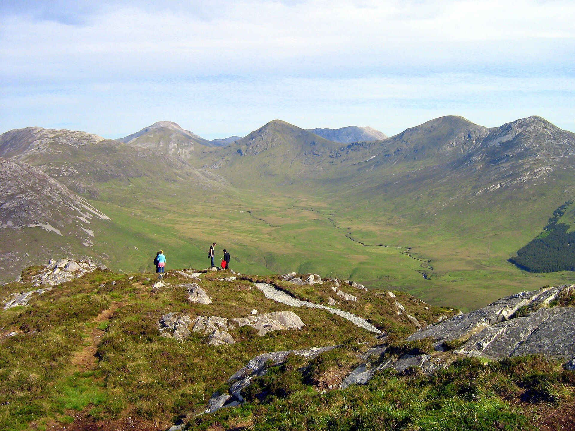
- Lake-shore walks are easy; Korab is a long, steep full-day hike with snow on high ground into early summer.
- Facilities
- Hotels and guesthouses in Mavrovo village and the ski area; few services in the high mountains.
- The view
- The roofless church of St Nicholas standing in the lake, with forested mountains behind.
Times and requirements are approximate and change with season, weather, and local rules — confirm permits, fares, and schedules with operators before you travel.
Natural riches of the area
- Korab, at 2,764 m the highest peak in North Macedonia
- The Radika gorge, more than 25 km long with cliffs over 300 m
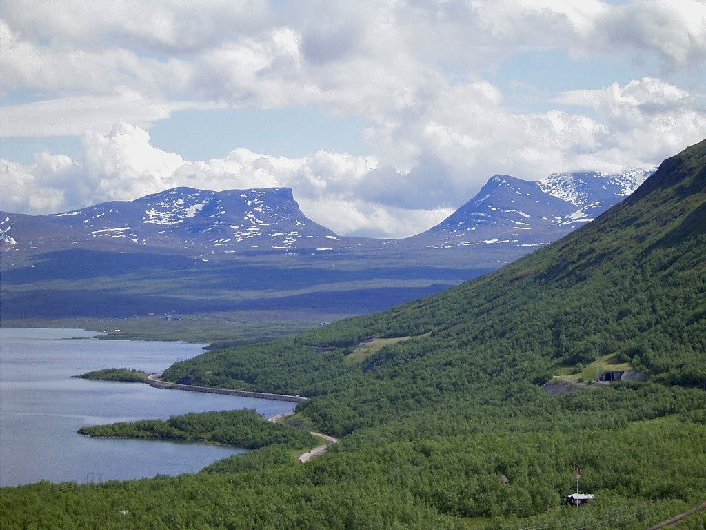
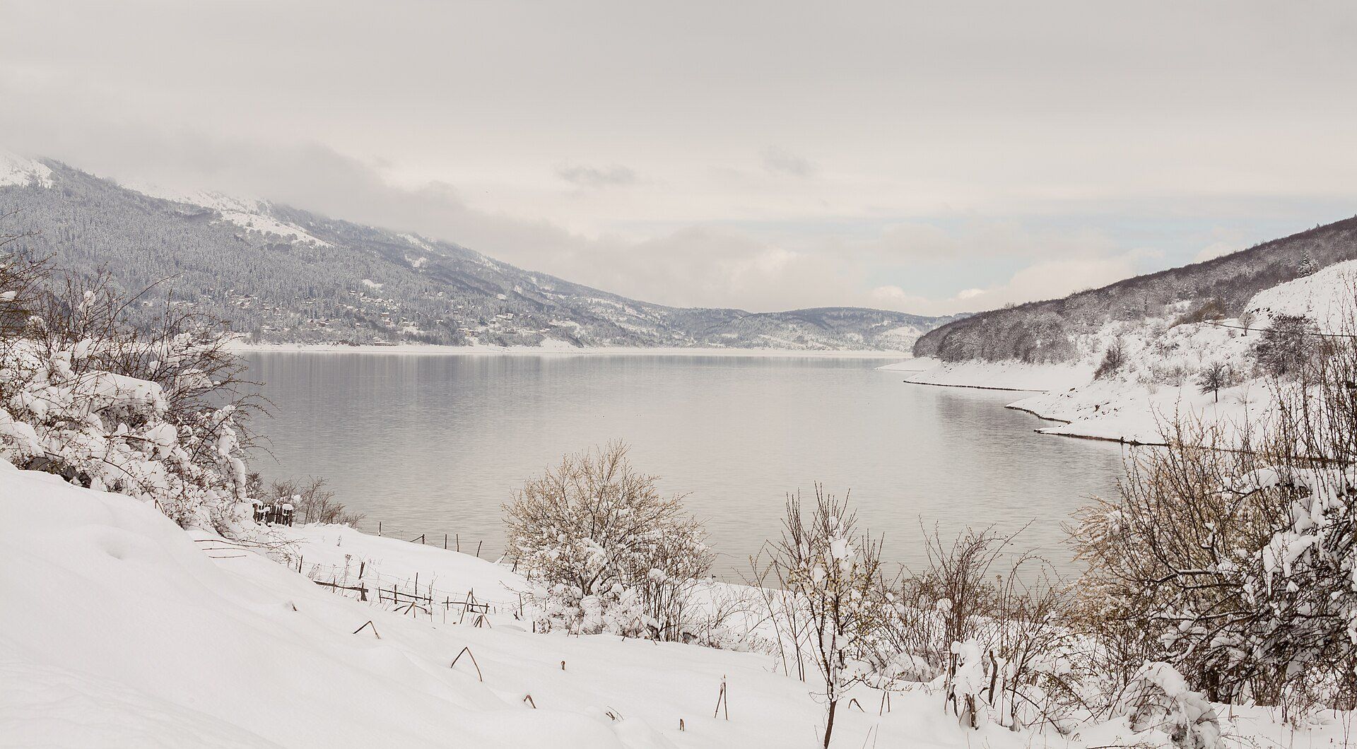
- Lake Mavrovo, a mountain reservoir that freezes in winter
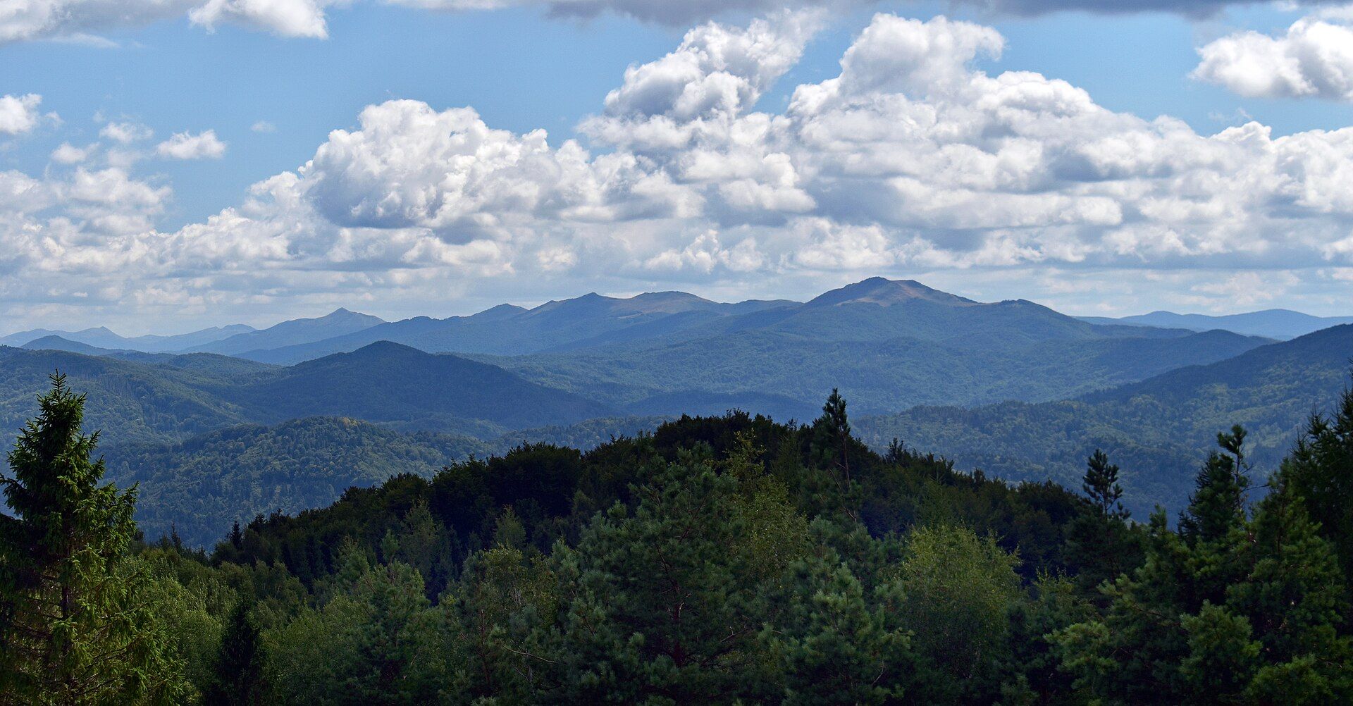
- Beech and fir forests, home to bears, wolves, otters and the Balkan lynx
Local food
- Kashkaval from Galičnik
- A sheep's-milk cheese of the Šar mountains, traditionally made in the villages of Galičnik and Lazaropole on the edge of the park.
- Belo sirenje and kiselo mleko
- Brined white cheese and thick, tangy yogurt, staples of the shepherding villages.
Mavrovo is North Macedonia at its wildest. The park, created in 1949, covers the mountains of the country’s northwest where it meets Albania and Kosovo, and climbs from about 600 metres in the valleys to 2,764 metres on the summit of Korab — the highest point in North Macedonia.
Through the middle runs the Radika River, which has cut a gorge more than 25 kilometres long between the Šar, Korab and Bistra mountains, its walls rising over 300 metres. The slopes above are clothed in beech and fir, and the forests are among the last strongholds of the Balkan lynx, alongside bears, wolves, otters and more than 140 species of birds.
The park’s most famous view is man-made but no less striking. Lake Mavrovo is a reservoir, begun in the early 1950s for a hydroelectric scheme. When the water rose in 1953 it flooded the village church of St Nicholas, and the roofless stone nave still stands in the lake. In dry summers the water drops far enough to walk out to it; in winter the whole lake freezes and the ski runs on Bistra take over. Come in summer for the hiking and the lake, or in winter for snow an hour from Skopje.
Mavrovo National Park: common questions
How do you get to Mavrovo National Park?
From Skopje (SKP), then by road via Gostivar: Fly into Skopje; Drive west on the motorway to Gostivar; Continue into the park to Mavrovo village on the lake shore. Total travel time: 1–3 days.
When is the best time to visit Mavrovo National Park?
June to September for hiking and the lake, when falling water levels often expose the path to St Nicholas church; late spring for Korab Falls at full flow; December to March for skiing on Bistra.
How long should you spend at Mavrovo National Park?
A full day for the lake and church; another for a Korab or Radika gorge hike. Total travel time: 1–3 days.
What should you bring to Mavrovo National Park?
Hiking boots and layers — conditions change fast in the mountains Your passport for routes near the border Warm clothing in winter, when the lake freezes
Do you need a permit or guide for Mavrovo National Park?
Paved roads reach Mavrovo village and the Radika valley; minibuses on the Skopje–Debar route pass through the park. Korab trails start in the Radika valley near the Albanian border.
Is Mavrovo National Park crowded, and what are conditions like?
Quiet most of the year; busier at the ski area in winter and around the lake on summer weekends. Lake-shore walks are easy; Korab is a long, steep full-day hike with snow on high ground into early summer. Facilities: Hotels and guesthouses in Mavrovo village and the ski area; few services in the high mountains.
Added
More wonders to explore