Jirisan National Park
📍 Sobaek Mountains, spanning South Jeolla, North Jeolla and South Gyeongsang provinces, South Korea, near Gurye, Namwon and Hamyang
South Korea's first national park and its largest mountain park: a vast massif of long, forested ridges crowned by Cheonwangbong at 1,915 m, the highest peak on the Korean mainland, and home to the country's restored wild Asiatic black bears.
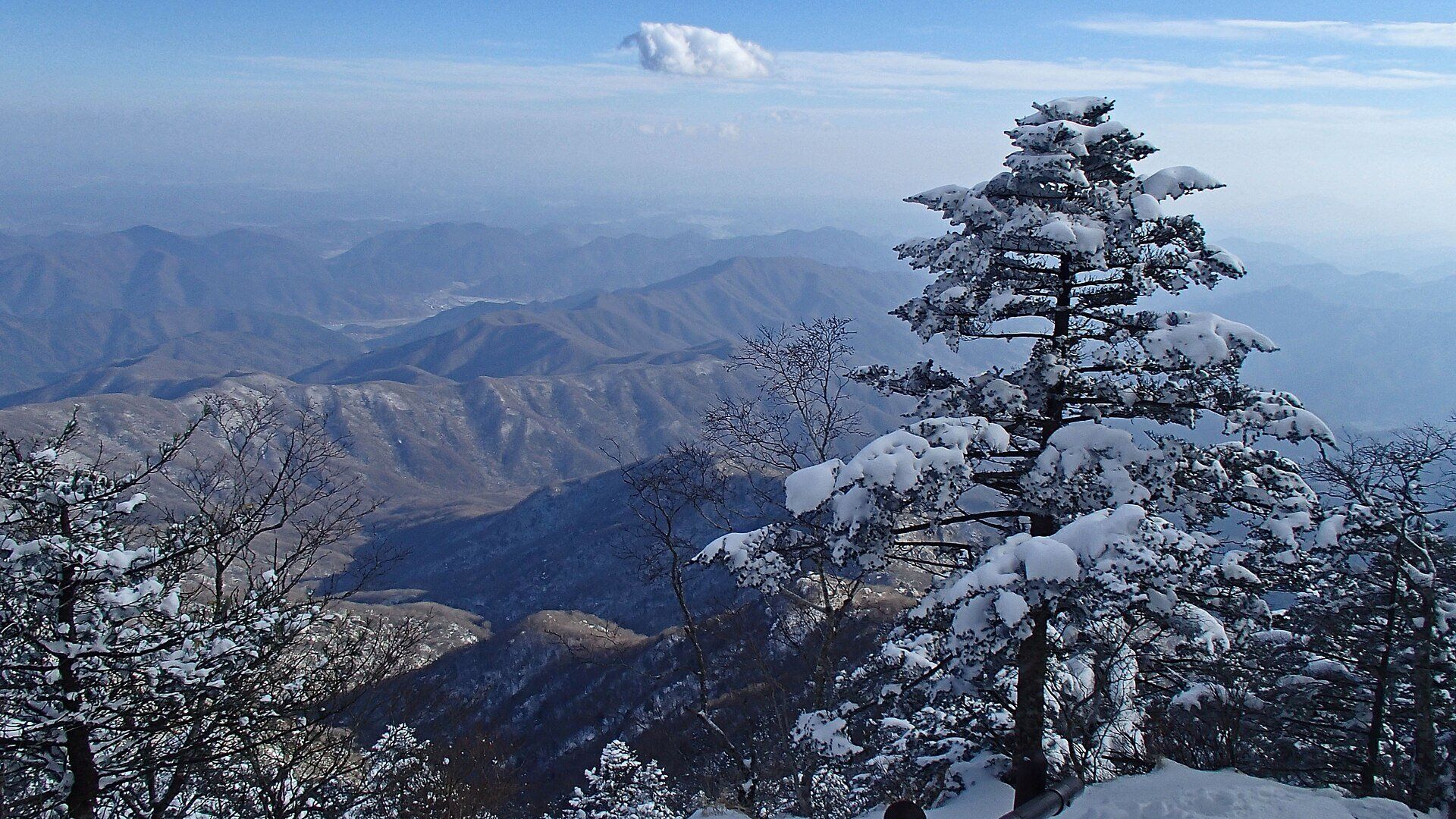
What makes it marvelous
Jirisan was designated South Korea's first national park on 29 December 1967, and it remains the country's largest mountain national park, spreading across three provinces. Its high ground is a broad massif rather than a single summit: around twenty peaks rise above 1,500 m, led by Cheonwangbong at 1,915 m — the highest point on the Korean mainland — with Banyabong and Nogodan among the other great tops. The park protects close to 5,000 recorded species of plants and animals. In October 2004 the Korea National Park Service released three pairs of Asiatic black bears here to restore the species; the population has since grown to more than 80 bears, now breeding in the wild. Jirisan joined the IUCN Green List of well-managed protected areas in 2014.
Why visit
Korea's great ridge walk: days on end above the forest, shelter to shelter, with the whole south of the peninsula falling away in wave after wave of blue ridgelines.
Still deciding?
Jirisan National Park comes up most often against one other place — each one weighs cost, effort, season and crowds side by side.
What to know before you go
🗓️ Best time
Autumn, when foliage colours the ridges and valleys — also the busiest season, with shelters booked out. Winter brings snow-loaded trees and clear views from the summits for well-equipped hikers.
🧭 Getting there & access
Guryegu Station, on the Jeolla Line, is served by KTX trains from Seoul's Yongsan Station (around two and a half hours) and is the gateway to the western trailheads. The eastern side, including the approaches to Cheonwangbong, is reached by intercity bus via Jinju. Overnight ridge hikes require a shelter booking through the Korea National Park Service.
Good to know
- Shelters on the main ridge must be booked in advance through the Korea National Park Service reservation system; walk-ins are not allowed.
- Book KTX tickets well ahead for autumn weekends — they sell out during the foliage season.
- Sections of trail close seasonally for wildfire prevention; check the Korea National Park Service before you set out.
- This is bear country again: keep food packed away and stay on marked trails.
Plan your visit
Strenuous🧭 Getting there
From Gurye, by KTX from Seoul Yongsan to Guryegu Station; Jinju for the eastern side
- KTX from Seoul Yongsan to Guryegu Station, around two and a half hours
- Local bus or taxi to Gurye town, Hwaeomsa or Seongsamjae pass for the western trailheads
- For Cheonwangbong from the east, intercity bus via Jinju to the eastern trailheads
- Total travel
- Half a day of travel from Seoul to a western trailhead
- Time at site
- A long day for a single peak; two to three days for the main ridge traverse using shelters
- Access
- Ridge shelters must be booked in advance with the Korea National Park Service, and walk-ins are not accepted. Some trails close seasonally for fire prevention.
🎒 What to bring & consider
- A confirmed shelter booking for any overnight ridge hike
- Warm layers — the high ridge is far colder and windier than the valleys
- Crampons or microspikes and winter gear for snow season
👁️ What to expect
- Crowds
- Very busy in autumn, when trails are crowded and shelters fully booked; quieter on weekdays outside the foliage season.
- Conditions
- Long rocky ridge paths with steep climbs to the summits; weather on the tops changes quickly.
- Facilities
- Mountain shelters along the main ridge; services are concentrated in the towns and valley entrances.
- The view
- Endless blue ridgelines rolling south from the high ridge, best on a clear winter or autumn morning.
Times and requirements are approximate and change with season, weather, and local rules — confirm permits, fares, and schedules with operators before you travel.
Natural riches of the area
- Cheonwangbong, 1,915 m, the highest peak on the Korean mainland
- Around twenty peaks above 1,500 m, including Banyabong and Nogodan
- A restored wild population of Asiatic black bears
- Close to 5,000 recorded species of plants and animals
Local food
- Chueo-tang
- A thick loach soup; the town of Namwon, on the park's western edge, is known for its own version.
- Mountain vegetables
- Gurye, at the foot of Jirisan, has long supplied fresh wild herbs and mountain greens to Korean kitchens.
Jirisan is less a mountain than a mountain world. Spread across three provinces in the south of the peninsula, it was the first place in South Korea to be named a national park, in December 1967, and it is still the country’s largest mountain park — a great massif of long, forested ridges with around twenty summits above 1,500 metres.
The highest of them, Cheonwangbong, reaches 1,915 metres, the top of the Korean mainland. The classic way to know Jirisan is to walk its main ridge over two or three days, sleeping in mountain shelters booked in advance, with peaks such as Nogodan and Banyabong along the way and, on clear days, ridge after ridge fading into blue haze to every horizon.
Jirisan is also where South Korea brought back its bears. In October 2004 three pairs of Asiatic black bears were released into the park; two decades later more than 80 roam the Jirisan area and are breeding in the wild. Autumn colour draws the biggest crowds, while winter turns the high firs white for hikers equipped for snow.
Jirisan National Park: common questions
How do you get to Jirisan National Park?
From Gurye, by KTX from Seoul Yongsan to Guryegu Station; Jinju for the eastern side: KTX from Seoul Yongsan to Guryegu Station, around two and a half hours; Local bus or taxi to Gurye town, Hwaeomsa or Seongsamjae pass for the western trailheads; For Cheonwangbong from the east, intercity bus via Jinju to the eastern trailheads. Total travel time: Half a day of travel from Seoul to a western trailhead.
When is the best time to visit Jirisan National Park?
Autumn, when foliage colours the ridges and valleys — also the busiest season, with shelters booked out. Winter brings snow-loaded trees and clear views from the summits for well-equipped hikers.
How long should you spend at Jirisan National Park?
A long day for a single peak; two to three days for the main ridge traverse using shelters. Total travel time: Half a day of travel from Seoul to a western trailhead.
What should you bring to Jirisan National Park?
A confirmed shelter booking for any overnight ridge hike Warm layers — the high ridge is far colder and windier than the valleys Crampons or microspikes and winter gear for snow season
Do you need a permit or guide for Jirisan National Park?
Ridge shelters must be booked in advance with the Korea National Park Service, and walk-ins are not accepted. Some trails close seasonally for fire prevention.
Is Jirisan National Park crowded, and what are conditions like?
Very busy in autumn, when trails are crowded and shelters fully booked; quieter on weekdays outside the foliage season. Long rocky ridge paths with steep climbs to the summits; weather on the tops changes quickly. Facilities: Mountain shelters along the main ridge; services are concentrated in the towns and valley entrances.
Added
More wonders to explore
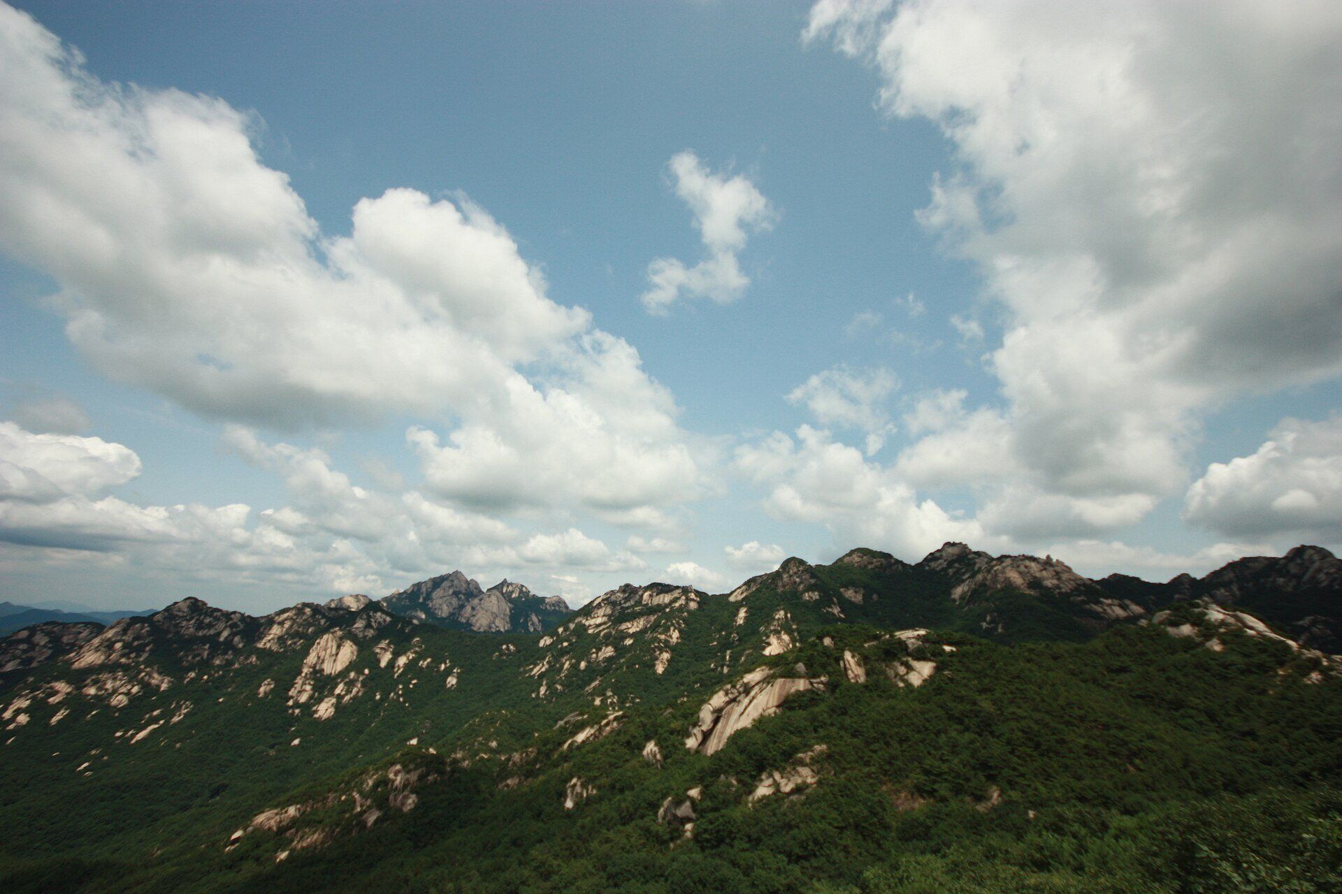
Bukhansan National Park
Northern edge of Seoul and Gyeonggi Province, South Korea
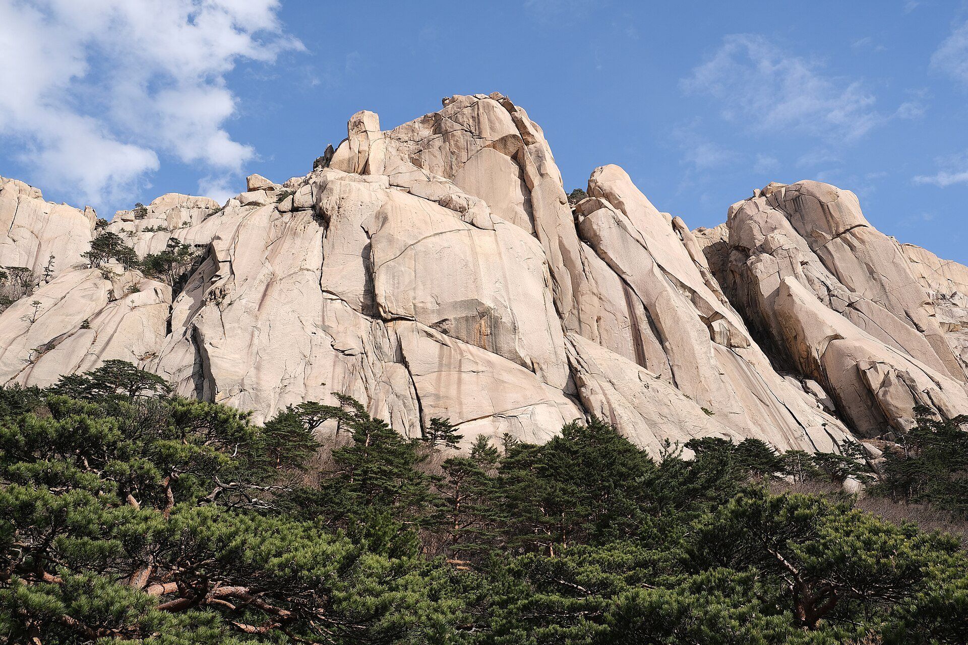
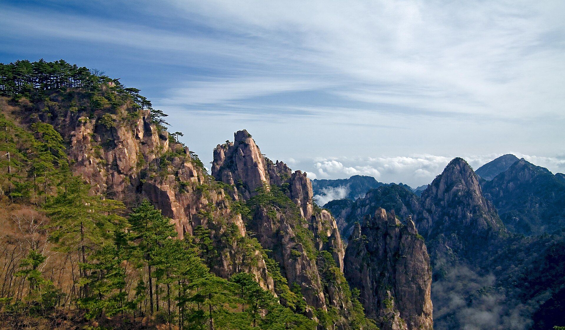
Ala Archa National Park
Kyrgyz Ala-Too range, about 35 km south of Bishkek, Kyrgyzstan