Jatiluwih Rice Terraces
📍 Tabanan Regency, Bali, Indonesia
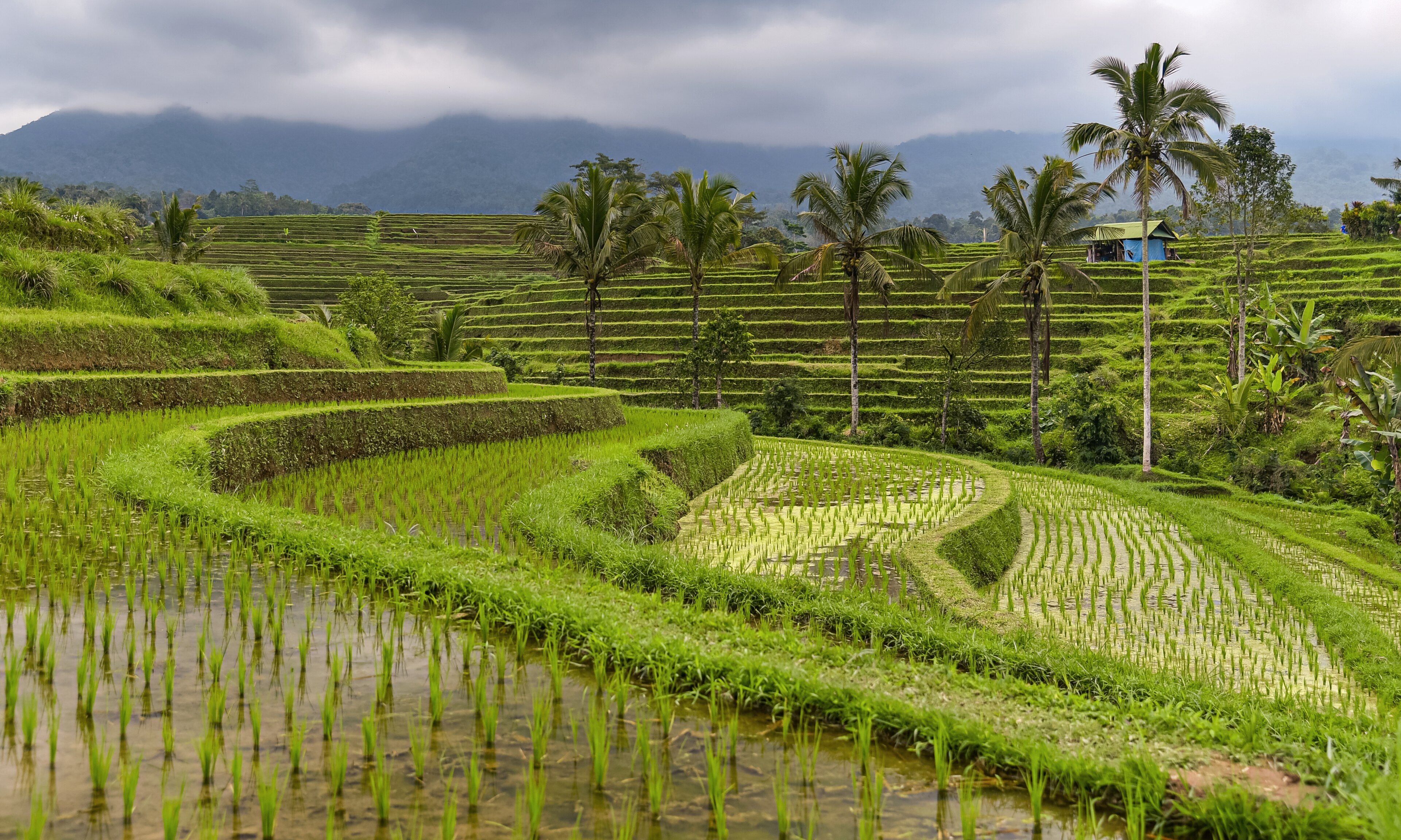
Bali's largest surviving expanse of traditional rice terraces, spread over some 600 hectares beneath Mount Batukaru and irrigated by subak — a thousand-year-old system in which farmers themselves allocate every litre of water down the slope.
What makes it marvelous
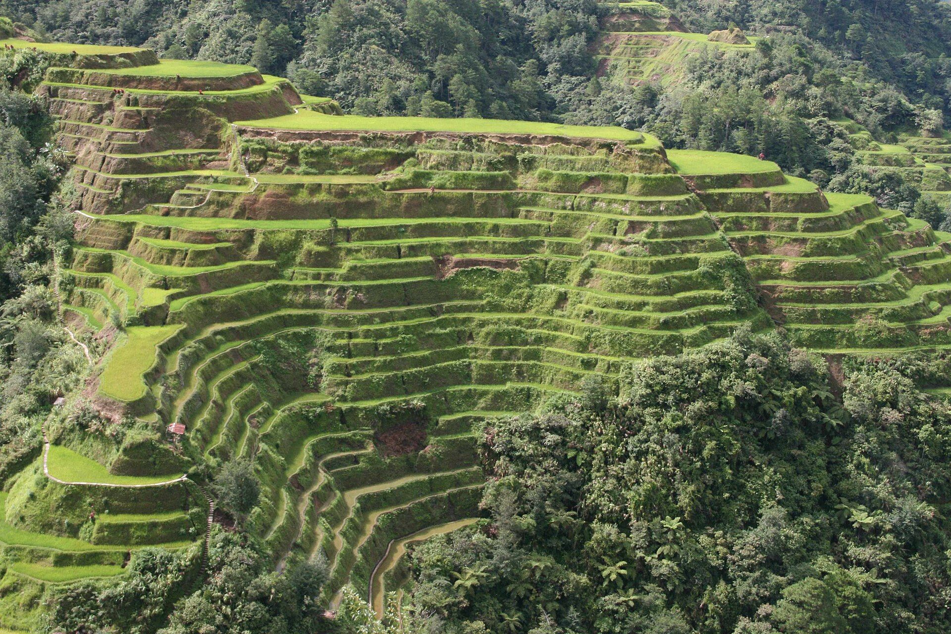
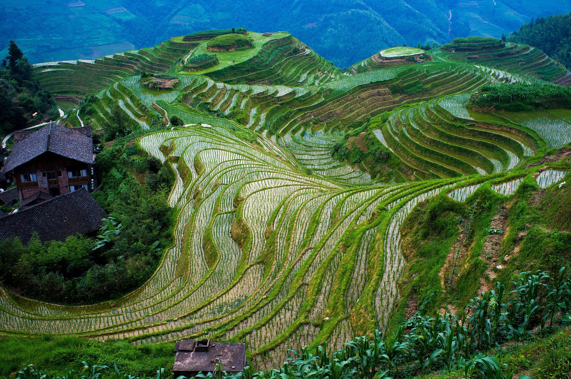
Jatiluwih is the clearest surviving example of how Bali actually works as a landscape. Volcanic soil, a steady monsoon, and mountain water make the island exceptionally fertile, but the water has to be shared, and for around a thousand years it has been shared by subak — cooperatives of farmers who collectively decide when each block plants, floods, and drains. That coordination is not merely social housekeeping; synchronised flooding across a whole slope starves rice pests of a continuous food supply, so the schedule doubles as pest control without chemicals. UNESCO inscribed the subak landscape in 2012, and Jatiluwih, running to some 600 hectares on the southern flank of Mount Batukaru, is its showpiece — broad, gently stepped terraces following the contours in long curves rather than the tight staircases of steeper country, still planted with traditional red Balinese rice alongside modern varieties.
Why visit
Most visitors to Bali see rice terraces from a car park; Jatiluwih is big enough to walk into. Marked trails of several kilometres run out between the fields and the irrigation channels, past working farms rather than viewing platforms, with Batukaru's forested cone rising behind. It is quieter, greener and far less staged than the island's more famous roadside terraces, and it is the one place where the scale of the system is legible.
Still deciding?
Jatiluwih Rice Terraces comes up most often against one other place — each one weighs cost, effort, season and crowds side by side.
What to know before you go
🗓️ Best time
The dry season, roughly April to October, gives the most reliable walking weather. The terraces are green for most of the year thanks to staggered planting, with the most vivid growth a few weeks after flooding and gold patches appearing before each harvest. Mornings are clearest; afternoon cloud often closes in on Batukaru.
🧭 Getting there & access
Jatiluwih is around 2 hours by car from Ubud and roughly 2.5 hours from the southern beach resorts, on winding upland roads. There is no practical public transport — visitors come by hired car, driver, or scooter. An entry ticket is collected at the village gate and covers the walking trails.
Good to know
- Walk one of the marked trails rather than stopping at the first viewpoint — the terraces open up considerably a kilometre in.
- Go in the morning; cloud builds over Batukaru through the afternoon and rain is common by late day.
- Stay on the paths and field banks — this is working farmland, and the banks are also the irrigation walls.
- Bring cash for the entry ticket and the warungs, and expect patchy mobile signal.
Plan your visit
Easy🧭 Getting there
From Denpasar (DPS), Bali, Indonesia
- Fly into Denpasar
- Drive roughly 2 hours from Ubud, or about 2.5 hours from the southern resorts
- Pay the entry ticket at the Jatiluwih village gate
- Pick one of the marked colour-coded loops out through the terraces
- Total travel
- A half to full day from anywhere in southern Bali
- Time at site
- 2–4 hours to walk a full loop; longer if you stop to eat
- Access
- A per-person entry ticket is collected at the gate. Trails are open daylight hours and free to walk once inside. No guide is required, though local guides are available at the gate.
🎒 What to bring & consider
- Sun protection — the terraces are wholly unshaded
- A light rain layer, since upland showers arrive fast even in the dry season
- Shoes with grip; the field banks are narrow and slick after rain
- Cash in rupiah for the ticket and the roadside warungs
- Insect repellent for the wetter field margins
👁️ What to expect
- Crowds
- Far quieter than Bali's roadside terraces. Coaches arrive around midday at the main viewpoint, but the walking loops stay near-empty.
- Conditions
- Warm and humid, with gentle gradients along the contours and narrow earth banks between fields. Some sections are muddy year-round.
- Facilities
- A cluster of warungs and cafes with terrace views near the entrance; toilets at the gate; nothing along the trails.
- The view
- Late-afternoon side light raking across the contour lines, or the reflective sheen of a freshly flooded block early in the morning.
Times and requirements are approximate and change with season, weather, and local rules — confirm permits, fares, and schedules with operators before you travel.
Natural riches of the area
- Around 600 hectares of contour rice terraces on volcanic soil
- Mount Batukaru's forested slopes and the springs that rise from them
- Subak irrigation channels and weirs distributing water down the whole slope
- Traditional red Balinese rice, still grown alongside modern varieties
- Eels, frogs and paddy fish living in the flooded fields
Local food
- Beras merah (Balinese red rice)
- The traditional variety grown on these terraces, nutty and slightly chewy.
- Babi guling
- Bali's spit-roasted suckling pig, rubbed with turmeric, lemongrass and chilli.
- Lawar
- A chopped salad of green beans, grated coconut and spices, eaten with rice.
- Kopi Bali
- Robusta coffee grown on the volcanic uplands around Batukaru.
Bali’s fertility is easy to explain — young volcanic soil, reliable monsoon rain, mountain springs — but its terraces are not really a story about soil. They are a story about scheduling. For something close to a thousand years, water on these slopes has been allocated by subak: cooperatives of the farmers who share a single channel, meeting to decide collectively when each block floods, plants, and drains. Upstream cannot simply take what it wants, because the arrangement only holds if the whole slope keeps working.
That coordination turns out to do more than divide water fairly. When an entire hillside floods and drains in step, rice pests lose the continuous food supply they need to build up, so the calendar itself suppresses them — an elegant piece of applied ecology arrived at long before anyone had the vocabulary for it. Jatiluwih, some 600 hectares of broad contour terraces under the forested cone of Mount Batukaru, is where the system is easiest to read. UNESCO inscribed the subak landscape in 2012. Unlike Bali’s famous roadside terraces, this one is big enough to walk into for hours, past channels and weirs and people actually working the fields.
Jatiluwih Rice Terraces: common questions
How do you get to Jatiluwih Rice Terraces?
From Denpasar (DPS), Bali, Indonesia: Fly into Denpasar; Drive roughly 2 hours from Ubud, or about 2.5 hours from the southern resorts; Pay the entry ticket at the Jatiluwih village gate; Pick one of the marked colour-coded loops out through the terraces. Total travel time: A half to full day from anywhere in southern Bali.
When is the best time to visit Jatiluwih Rice Terraces?
The dry season, roughly April to October, gives the most reliable walking weather. The terraces are green for most of the year thanks to staggered planting, with the most vivid growth a few weeks after flooding and gold patches appearing before each harvest. Mornings are clearest; afternoon cloud often closes in on Batukaru.
How long should you spend at Jatiluwih Rice Terraces?
2–4 hours to walk a full loop; longer if you stop to eat. Total travel time: A half to full day from anywhere in southern Bali.
What should you bring to Jatiluwih Rice Terraces?
Sun protection — the terraces are wholly unshaded A light rain layer, since upland showers arrive fast even in the dry season Shoes with grip; the field banks are narrow and slick after rain Cash in rupiah for the ticket and the roadside warungs Insect repellent for the wetter field margins
Do you need a permit or guide for Jatiluwih Rice Terraces?
A per-person entry ticket is collected at the gate. Trails are open daylight hours and free to walk once inside. No guide is required, though local guides are available at the gate.
Is Jatiluwih Rice Terraces crowded, and what are conditions like?
Far quieter than Bali's roadside terraces. Coaches arrive around midday at the main viewpoint, but the walking loops stay near-empty. Warm and humid, with gentle gradients along the contours and narrow earth banks between fields. Some sections are muddy year-round. Facilities: A cluster of warungs and cafes with terrace views near the entrance; toilets at the gate; nothing along the trails.
Added
More wonders to explore