Epupa Falls
📍 Kunene Region (Kaokoland), Namibia–Angola border
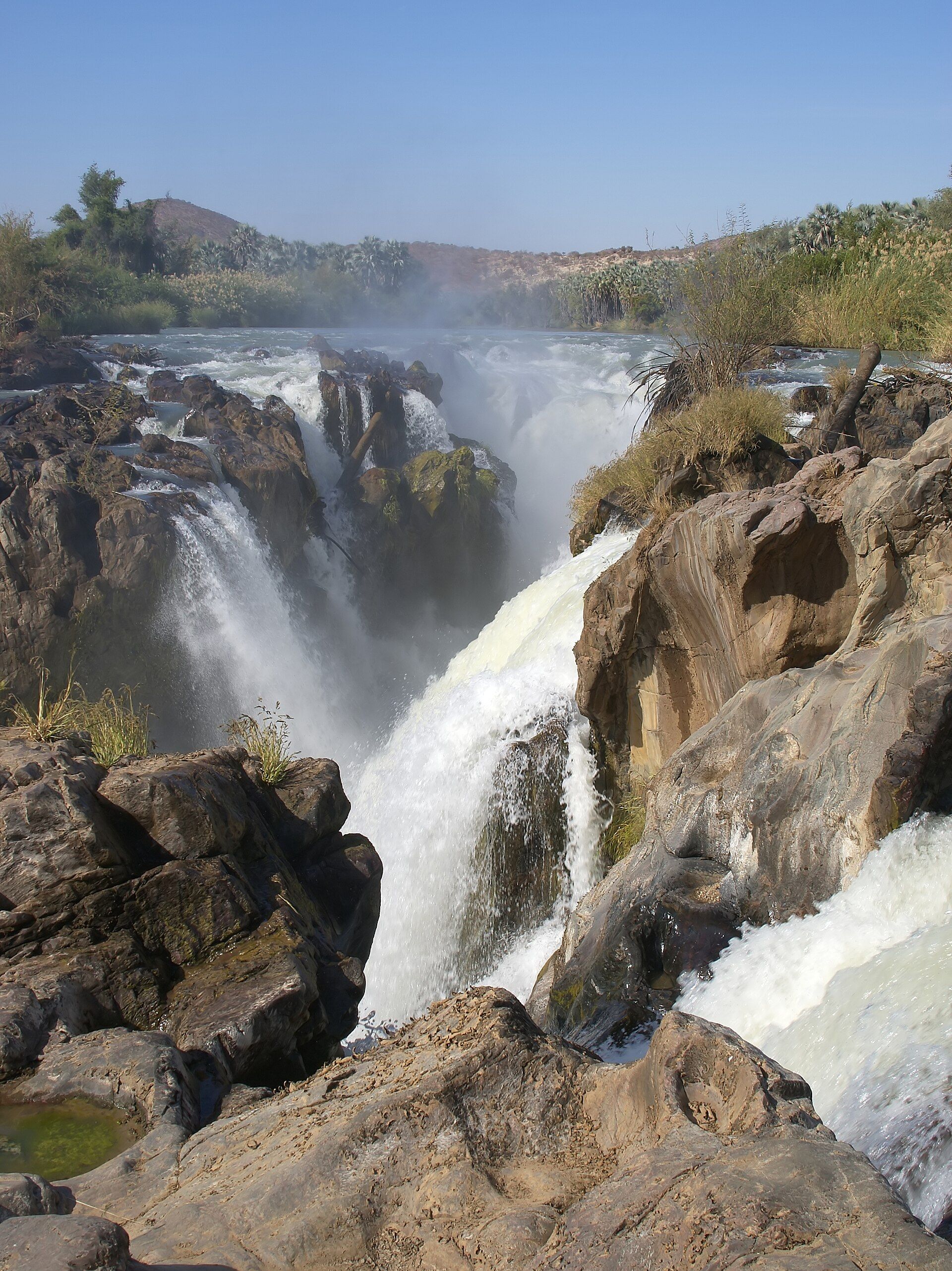
A wide scatter of waterfalls where the Kunene River breaks over rock on the remote Angolan border — braided channels tumbling among baobabs and palms in one of the least-visited corners of Namibia, and Himba homeland.
What makes it marvelous
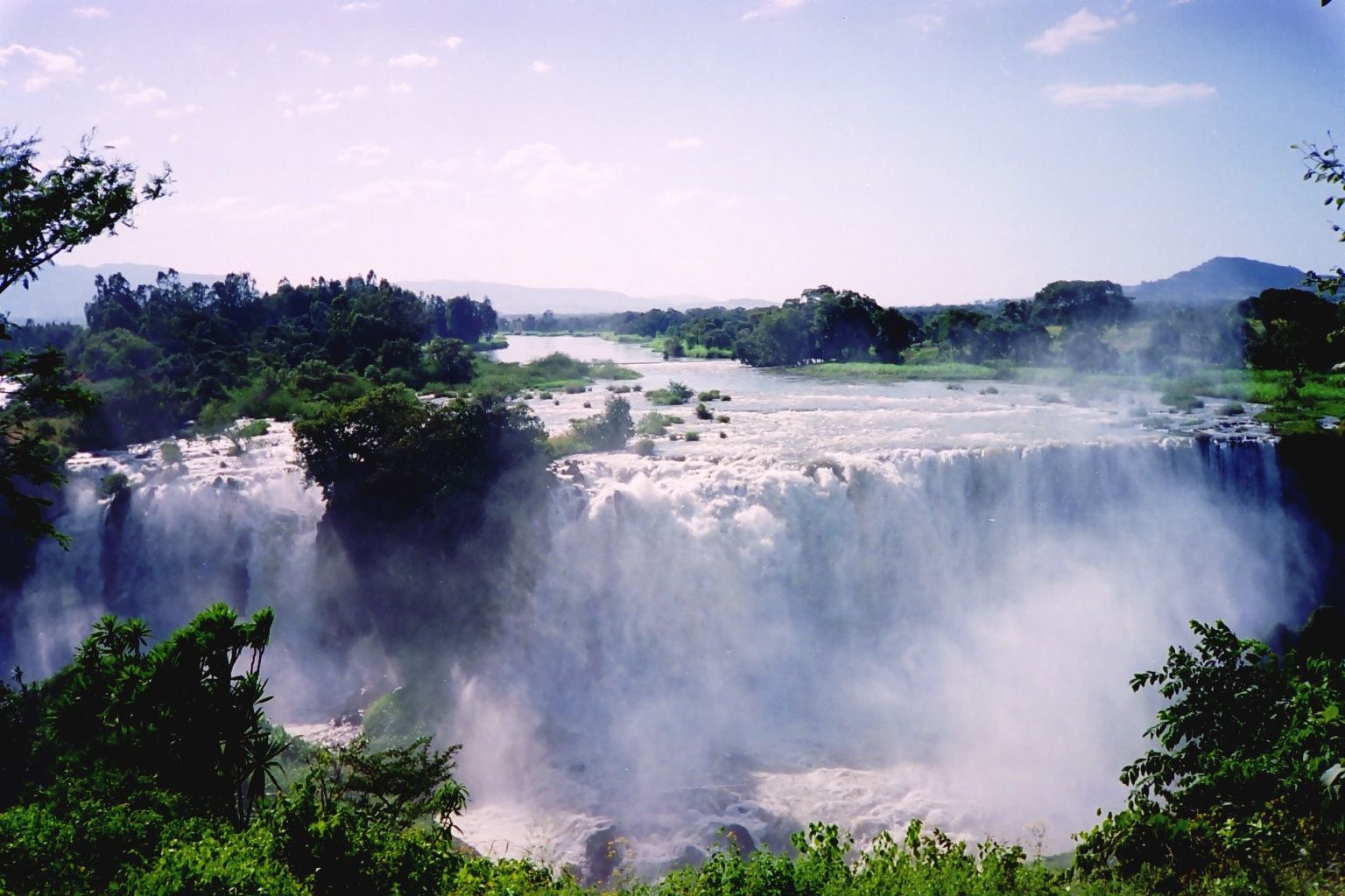
Here the Kunene River, which forms Namibia's northern border with Angola, splits into a maze of channels and drops over a series of falls spread across more than a kilometre, the main cascade plunging around 35–40 metres into a palm-fringed gorge. The name is Herero for 'foam'. Baobabs and makalani palms cling to the rock islands between the channels, and the sudden abundance of water in an otherwise arid land makes the place feel almost impossible.
Why visit
It is the reward at the end of a long, rough journey into Kaokoland — green, loud and alive in the middle of the desert, and the home of the Himba, one of the last semi-nomadic pastoralist peoples in the region. Sunset over the braided falls from the ridge above is among the finest in Namibia.
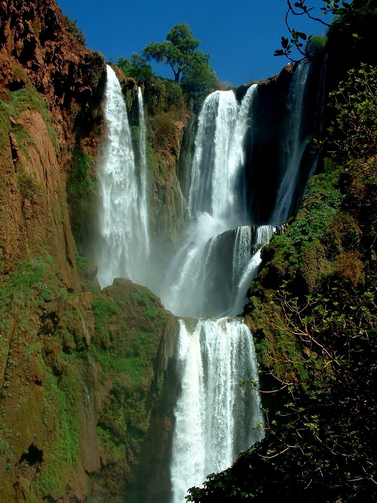
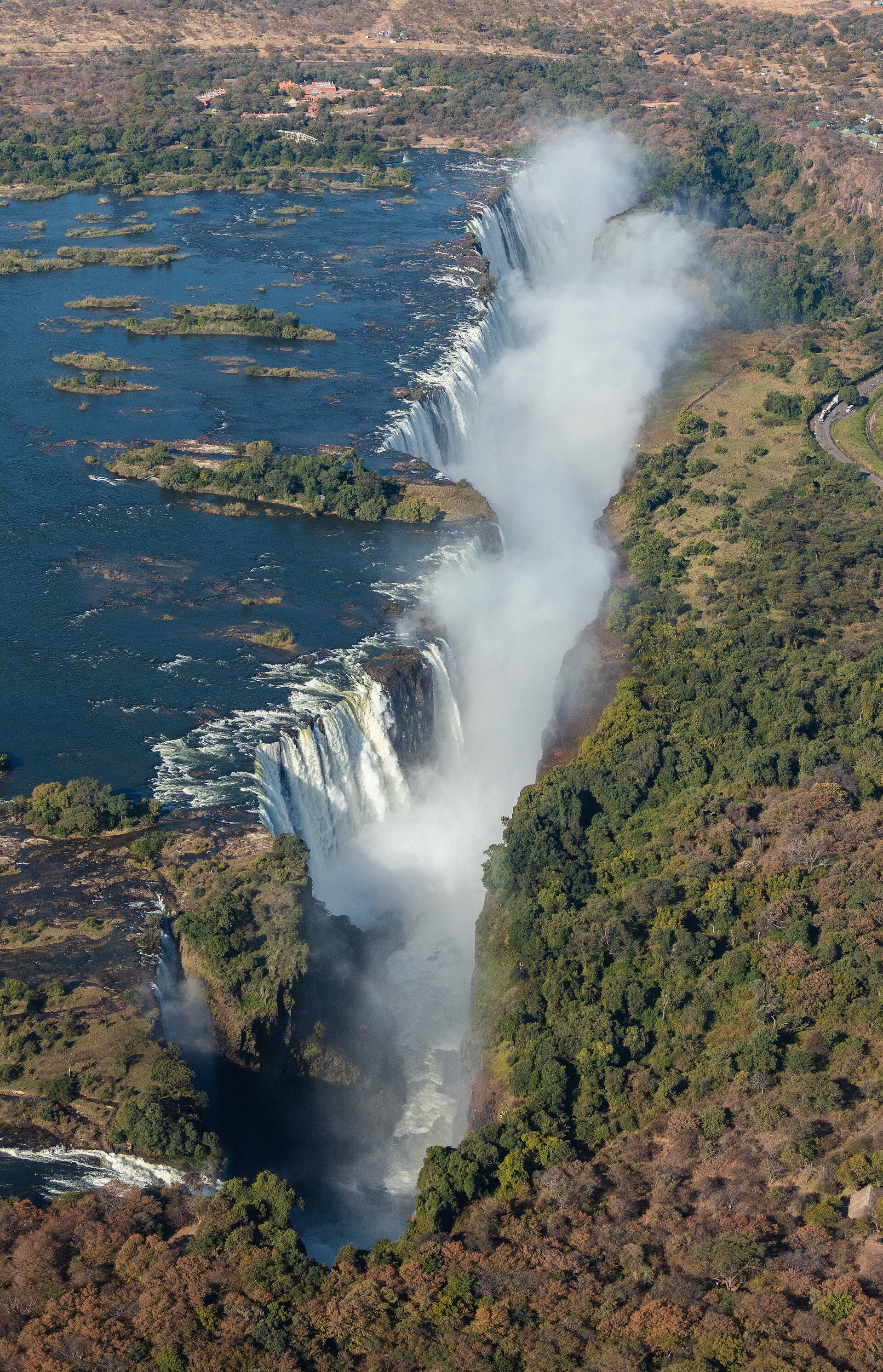
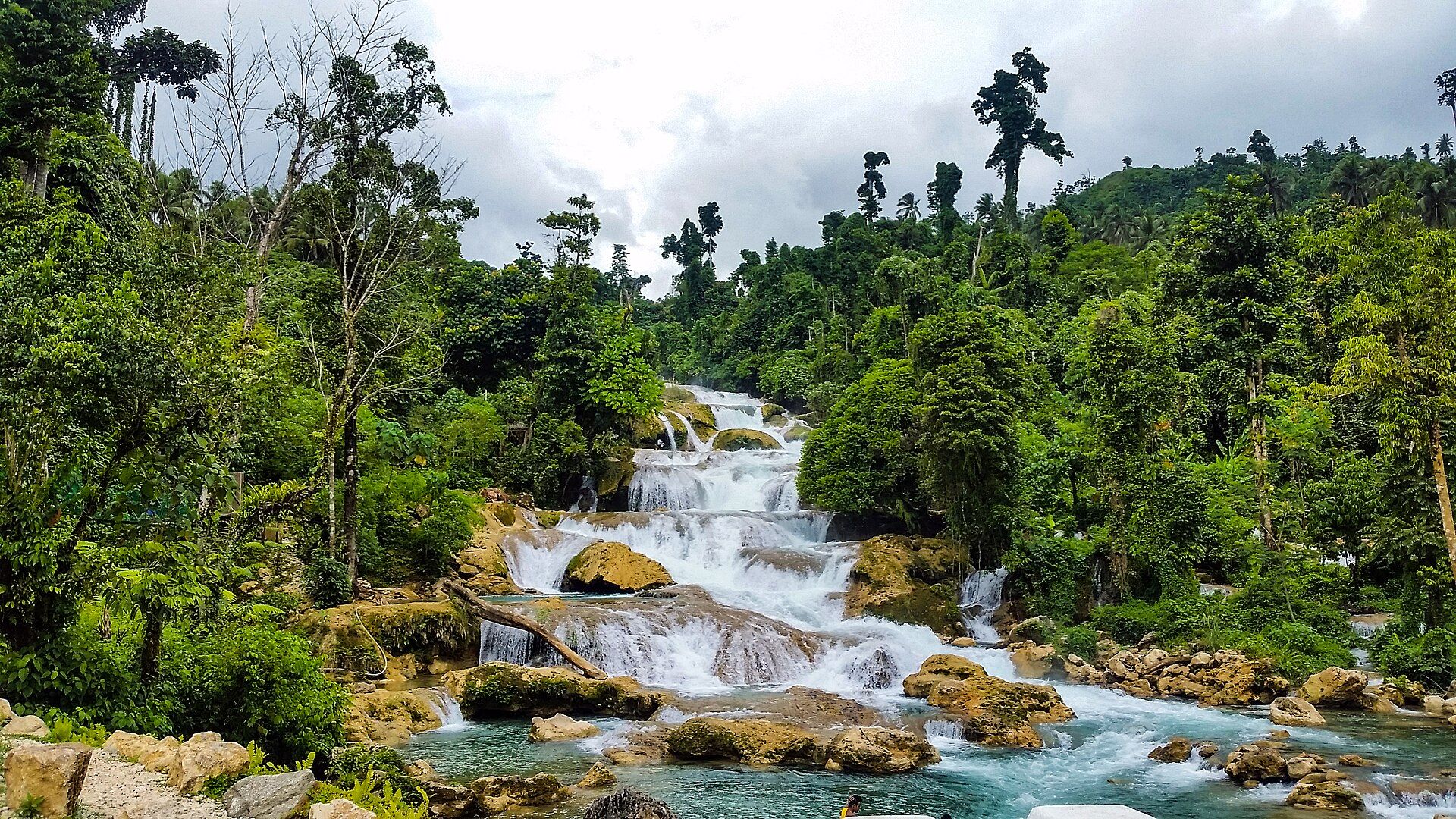
More views of Epupa Falls
Additional photographs of the actual site — each freely licensed, with its photographer and licence credited.
What to know before you go
🗓️ Best time
The falls run year-round but are fullest and most dramatic from about March to June after the rains; the cool dry winter months are the most comfortable for the long overland journey.
🧭 Getting there & access
Deep in the Kunene Region at the end of a long gravel and 4x4 route via Opuwo. It is one of the more remote destinations in Namibia; a high-clearance or four-wheel-drive vehicle is strongly advised.
Good to know
- Walk up to the ridge viewpoint above the falls for sunset over the whole braided spread.
- Keep well back from the slick rock at the lip; crocodiles inhabit the river.
- Visit a Himba community respectfully and only with local arrangement and consent.
Plan your visit
Moderate🧭 Getting there
From Opuwo, Kunene Region (via Windhoek WDH)
- Fly to Windhoek and drive north to Opuwo, a full day on tar then gravel
- From Opuwo the road to Epupa is rough gravel needing high clearance or 4x4 — allow 3–4h
- Camps and lodges sit right beside the falls
- Total travel
- Two days' overland travel from Windhoek
- Time at site
- 1–2 nights to justify the journey and catch sunset and sunrise
- Access
- This is genuinely remote. The final stretch is a demanding gravel and 4x4 route, fuel and supplies are limited beyond Opuwo, and mobile coverage is patchy. Travel self-sufficient, ideally in a convoy or with a guide, and check conditions locally before setting out.
🎒 What to bring & consider
- A high-clearance or four-wheel-drive vehicle and recovery basics
- Extra fuel, water and food beyond Opuwo
- Sun protection and insect repellent for the riverine heat
- Caution near the water — crocodiles are present
👁️ What to expect
- Crowds
- Very few visitors; the remoteness keeps numbers low year-round.
- Conditions
- Long rough driving, then easy walking around the falls and to the viewpoint.
- Facilities
- A handful of riverside camps and lodges; little else.
- The view
- The braided falls and palms from the ridge above at sunset, when the low light turns the spray gold.
Times and requirements are approximate and change with season, weather, and local rules — confirm permits, fares, and schedules with operators before you travel.
Natural riches of the area
- The perennial Kunene River on the Angolan border
- A wide series of waterfalls and braided rock channels
- Baobabs and makalani palms lining the gorge
- Riverine habitat in an otherwise arid land, and Himba pastoral homeland
Local food
- Mahangu (pearl millet)
- The staple grain of the north, ground and cooked as a stiff porridge.
- Omaere (soured milk)
- Traditional fermented milk central to Himba and Herero diets.
- Goat meat
- Herded goats are the mainstay of pastoralist cooking in Kaokoland.
Epupa Falls is a surprise the desert has no business holding. In the far northwest of Namibia, at the end of a long haul into Kaokoland, the Kunene River — the border with Angola — fans out into a tangle of channels and pours over a series of falls strung across more than a kilometre of rock, the main cascade dropping some 35 to 40 metres into a gorge lined with baobabs and makalani palms. ‘Epupa’ is a Herero word for the foam that hangs over the water.
The journey is part of the wonder: this is one of the least-visited regions of an already empty country, reached on rough gravel and 4x4 tracks, and the reward at the end is a loud, green, water-soaked oasis. It is also the homeland of the Himba, semi-nomadic herders whose way of life persists here. Climb the ridge above the river for sunset, keep a wary distance from the crocodile-holding water, and the place delivers one of the most memorable evenings in Namibia.
Epupa Falls: common questions
How do you get to Epupa Falls?
From Opuwo, Kunene Region (via Windhoek WDH): Fly to Windhoek and drive north to Opuwo, a full day on tar then gravel; From Opuwo the road to Epupa is rough gravel needing high clearance or 4x4 — allow 3–4h; Camps and lodges sit right beside the falls. Total travel time: Two days' overland travel from Windhoek.
When is the best time to visit Epupa Falls?
The falls run year-round but are fullest and most dramatic from about March to June after the rains; the cool dry winter months are the most comfortable for the long overland journey.
How long should you spend at Epupa Falls?
1–2 nights to justify the journey and catch sunset and sunrise. Total travel time: Two days' overland travel from Windhoek.
What should you bring to Epupa Falls?
A high-clearance or four-wheel-drive vehicle and recovery basics Extra fuel, water and food beyond Opuwo Sun protection and insect repellent for the riverine heat Caution near the water — crocodiles are present
Do you need a permit or guide for Epupa Falls?
This is genuinely remote. The final stretch is a demanding gravel and 4x4 route, fuel and supplies are limited beyond Opuwo, and mobile coverage is patchy. Travel self-sufficient, ideally in a convoy or with a guide, and check conditions locally before setting out.
Is Epupa Falls crowded, and what are conditions like?
Very few visitors; the remoteness keeps numbers low year-round. Long rough driving, then easy walking around the falls and to the viewpoint. Facilities: A handful of riverside camps and lodges; little else.
Added
More wonders to explore