Ouzoud Falls
📍 Tanaghmeilt, near Azilal, Middle Atlas, Morocco
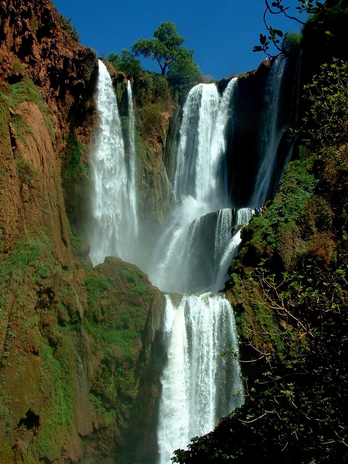
North Africa's tallest waterfall — a 110-metre triple cascade tumbling over red cliffs into a green river gorge in the Middle Atlas, wreathed in rainbows, olive groves and wild Barbary macaques.
What makes it marvelous
Ouzoud Falls drops about 110 m in three tiers over ochre cliffs into the gorge of the El-Abid River, making it the highest waterfall in North Africa and the second-highest on the continent. Fed by mountain streams and the springs that give the area its name — Ouzoud is linked to the grinding of grain, and old water-mills still line the banks — the falls run strongest after winter and spring rains, throwing up spray that hangs rainbows across the amphitheatre through the afternoon. The terraced cliffs are green with olive trees, and the surrounding forest is home to a habituated troop of Barbary macaques, the only macaque species found outside Asia and a threatened Atlas endemic.
Why visit
A path switchbacks down through olive groves and mill-houses to the foot of the falls, where small boats ferry visitors close to the thundering base and the spray cools the air. It is Morocco's most visited waterfall, an easy and rewarding day trip from Marrakesh, with the bonus of wild monkeys along the trail and cafes perched at the canyon rim.
More views of Ouzoud Falls
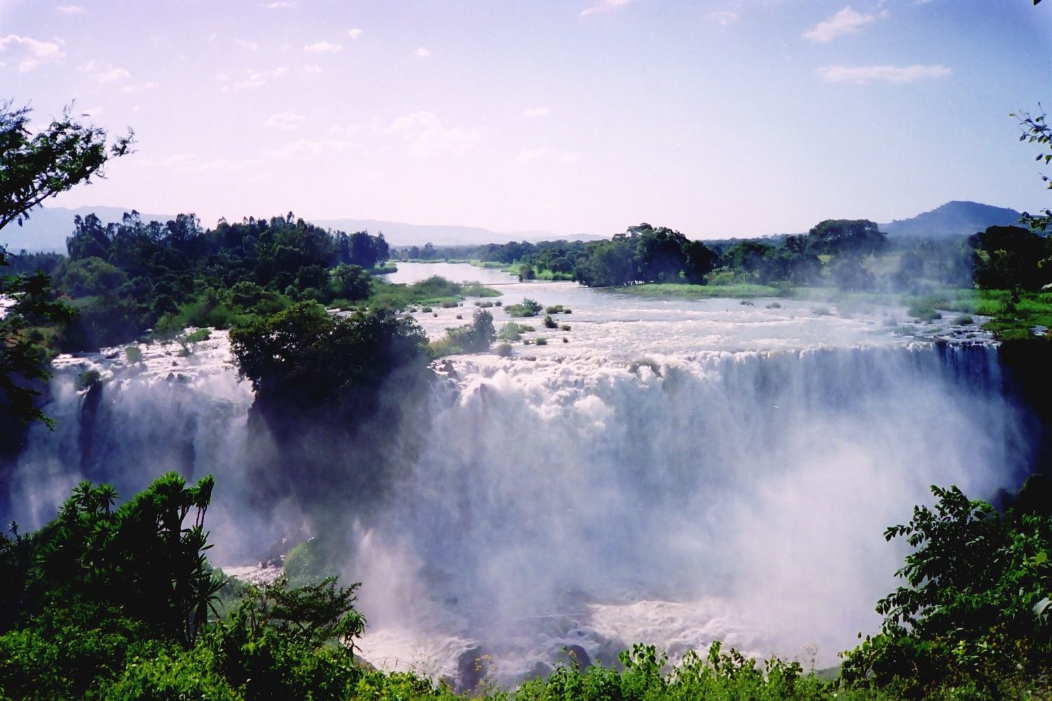
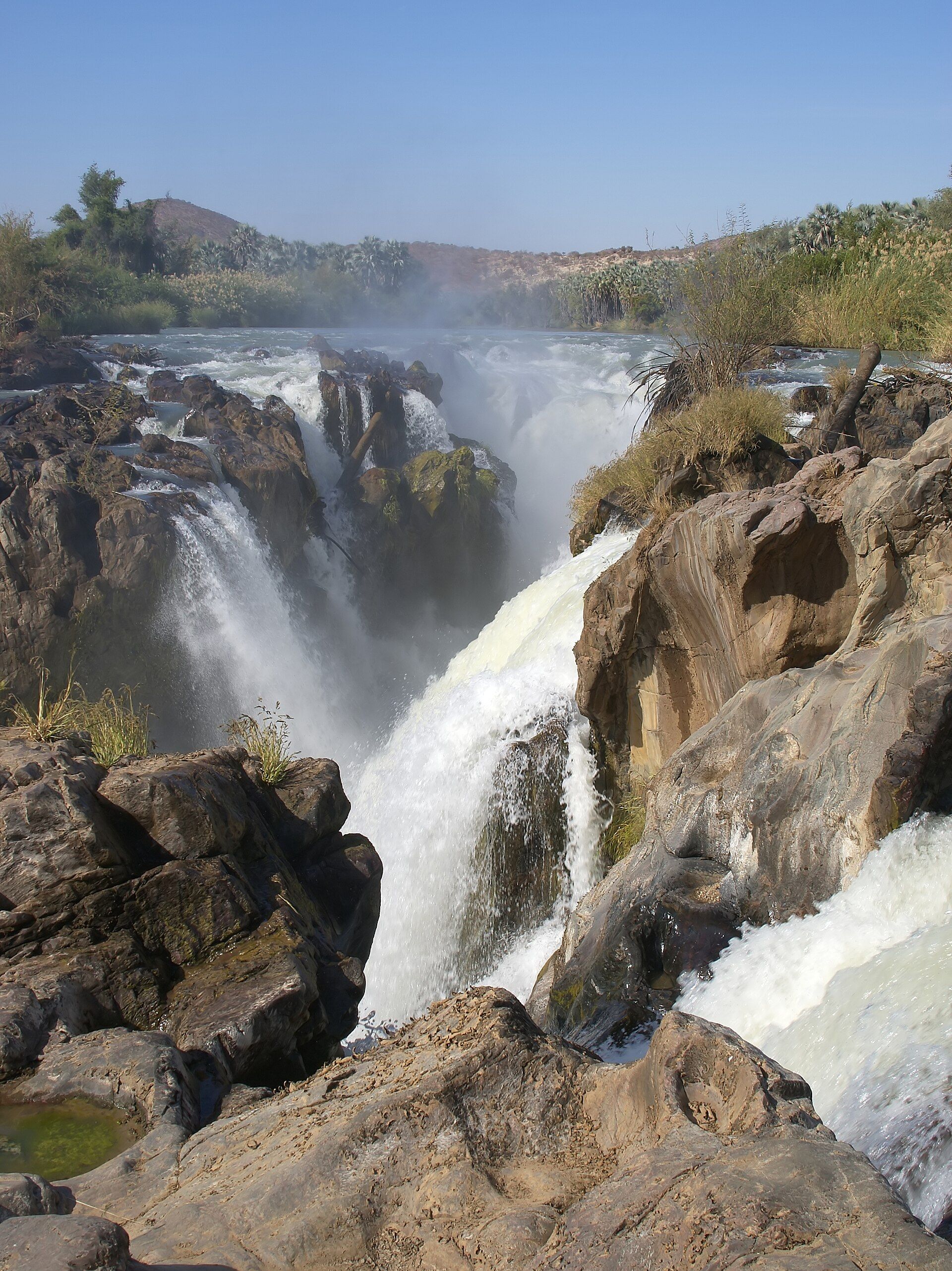
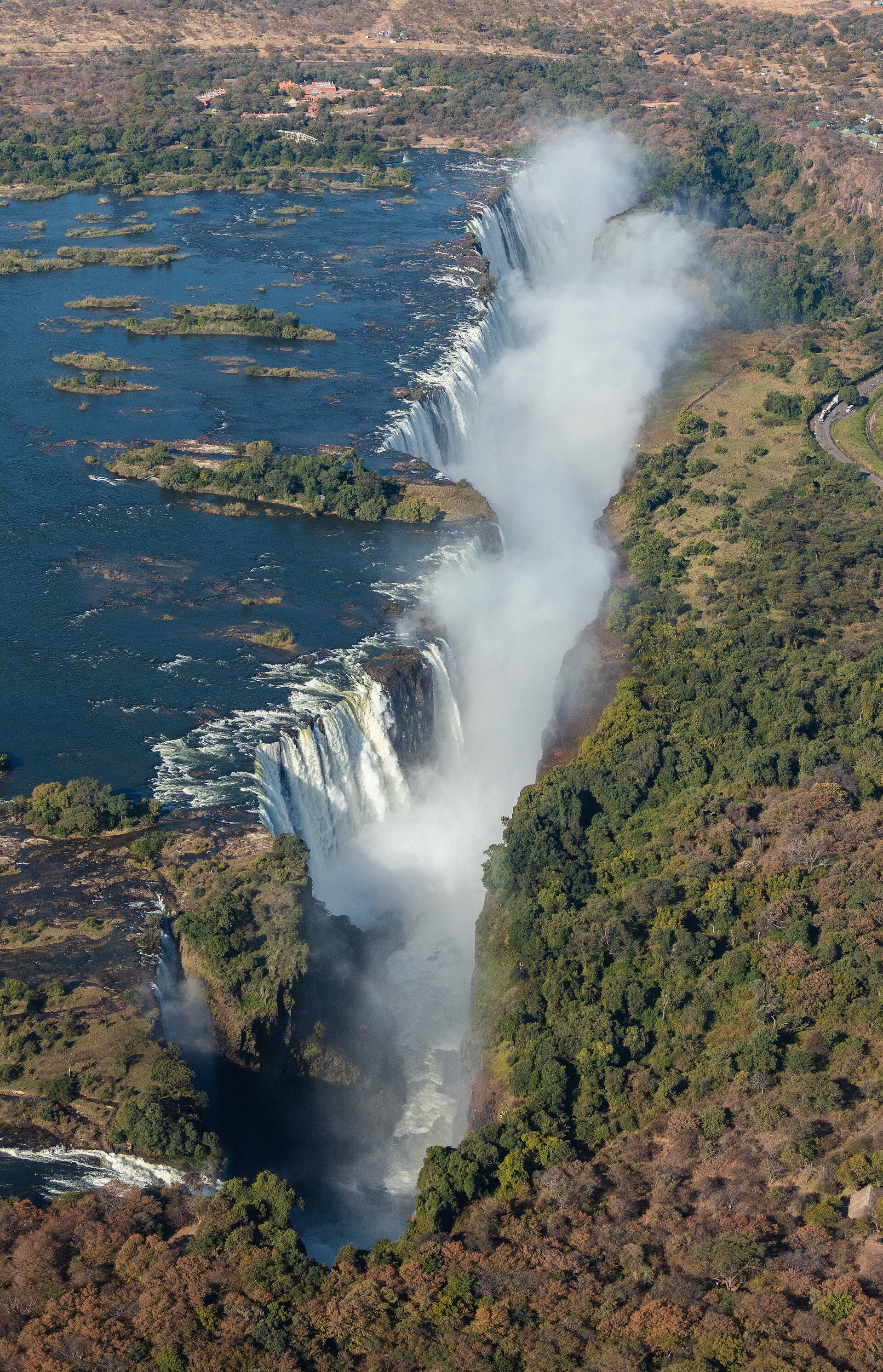
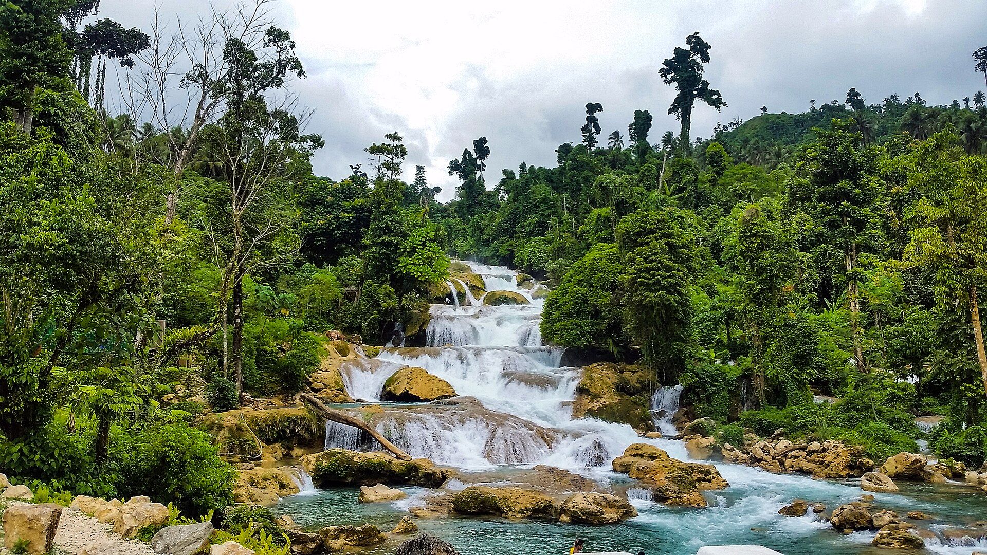
Additional photographs of the actual site — each freely licensed, with its photographer and licence credited.
What to know before you go
🗓️ Best time
Spring (March–May) brings the fullest flow and greenest gorge after the winter rains; autumn is pleasant and quieter. Summer is hot and busy, and the flow drops later in the dry season.
🧭 Getting there & access
The falls are at Tanaghmeilt, about 150 km north-east of Marrakesh (roughly 2.5–3 hours by road) and around 20 km from the town of Azilal. Grand taxis and tours run from Marrakesh and Azilal to the rim car park.
Good to know
- Do not feed or touch the Barbary macaques — feeding harms them and can provoke bites.
- The stepped path down is steep and can be slippery with spray; wear proper shoes.
- Go early to beat the crowds and catch the best light and rainbows on the falls.
Plan your visit
Easy🧭 Getting there
From Marrakesh (RAK) or Azilal by road
- Drive from Marrakesh north-east via Azilal to Tanaghmeilt — about 2.5–3 hours
- From the rim car park, walk down the stepped path to the base — roughly 20–30 minutes
- Total travel
- About 2.5–3 hours each way from Marrakesh
- Time at site
- Two to three hours; longer with lunch at a rim cafe
- Access
- The falls are open and free to visit; the rim has parking, cafes and guides. The riverside boats and any guiding are paid locally; the descent is on foot.
🎒 What to bring & consider
- Shoes with grip for the steep, spray-slicked steps
- Sun protection and water for the exposed rim and climb back up
- Small cash for parking, boats, tips and cafes
- Restraint around the macaques — observe, do not feed
👁️ What to expect
- Crowds
- Very busy on weekends and in summer, especially midday; early mornings are calmer.
- Conditions
- A steep but short walk into a cool, misty gorge; hot and dry up top.
- Facilities
- Plentiful at the rim — cafes, stalls, parking and guides; basic below.
- The view
- The full triple cascade with an afternoon rainbow, from the opposite bank.
Times and requirements are approximate and change with season, weather, and local rules — confirm permits, fares, and schedules with operators before you travel.
Natural riches of the area
- A 110 m three-tiered waterfall, the tallest in North Africa
- The El-Abid River gorge, cut into red Middle Atlas rock
- Olive groves, springs and traditional water-driven grain mills
- A troop of wild Barbary macaques, a threatened Atlas endemic
Local food
- Tagine
- Slow-cooked stew of meat, vegetables and preserved lemon in an earthenware pot.
- Mint tea
- Sweet green tea with fresh mint, poured from a height and offered everywhere.
- Olive oil
- Pressed from the groves that terrace the cliffs around the falls.
Ouzoud Falls is the tallest waterfall in North Africa — a 110-metre curtain of water that drops in three great tiers over red cliffs into the gorge of the El-Abid River, deep in the Middle Atlas. Fed by mountain streams and the springs that give the place its name, the falls run hardest after the winter and spring rains, when the spray hangs rainbows across the whole rocky amphitheatre through the afternoon.
The setting is as memorable as the drop. A stepped path switchbacks down through terraced olive groves and old water-mills — Ouzoud’s name is tied to the grinding of grain — to the foaming pools at the base, where small boats nudge visitors close to the thunder. Along the way, a troop of wild Barbary macaques, the only macaques outside Asia and a threatened Atlas endemic, watch from the trees and the trailside rocks.
An easy day trip from Marrakesh, it is the most visited waterfall in Morocco, and for good reason: few places pack so much — height, greenery, rainbows and wildlife — into a single short walk.
Ouzoud Falls: common questions
How do you get to Ouzoud Falls?
From Marrakesh (RAK) or Azilal by road: Drive from Marrakesh north-east via Azilal to Tanaghmeilt — about 2.5–3 hours; From the rim car park, walk down the stepped path to the base — roughly 20–30 minutes. Total travel time: About 2.5–3 hours each way from Marrakesh.
When is the best time to visit Ouzoud Falls?
Spring (March–May) brings the fullest flow and greenest gorge after the winter rains; autumn is pleasant and quieter. Summer is hot and busy, and the flow drops later in the dry season.
How long should you spend at Ouzoud Falls?
Two to three hours; longer with lunch at a rim cafe. Total travel time: About 2.5–3 hours each way from Marrakesh.
What should you bring to Ouzoud Falls?
Shoes with grip for the steep, spray-slicked steps Sun protection and water for the exposed rim and climb back up Small cash for parking, boats, tips and cafes Restraint around the macaques — observe, do not feed
Do you need a permit or guide for Ouzoud Falls?
The falls are open and free to visit; the rim has parking, cafes and guides. The riverside boats and any guiding are paid locally; the descent is on foot.
Is Ouzoud Falls crowded, and what are conditions like?
Very busy on weekends and in summer, especially midday; early mornings are calmer. A steep but short walk into a cool, misty gorge; hot and dry up top. Facilities: Plentiful at the rim — cafes, stalls, parking and guides; basic below.
Added
More wonders to explore